Capitol Reef Group Campground
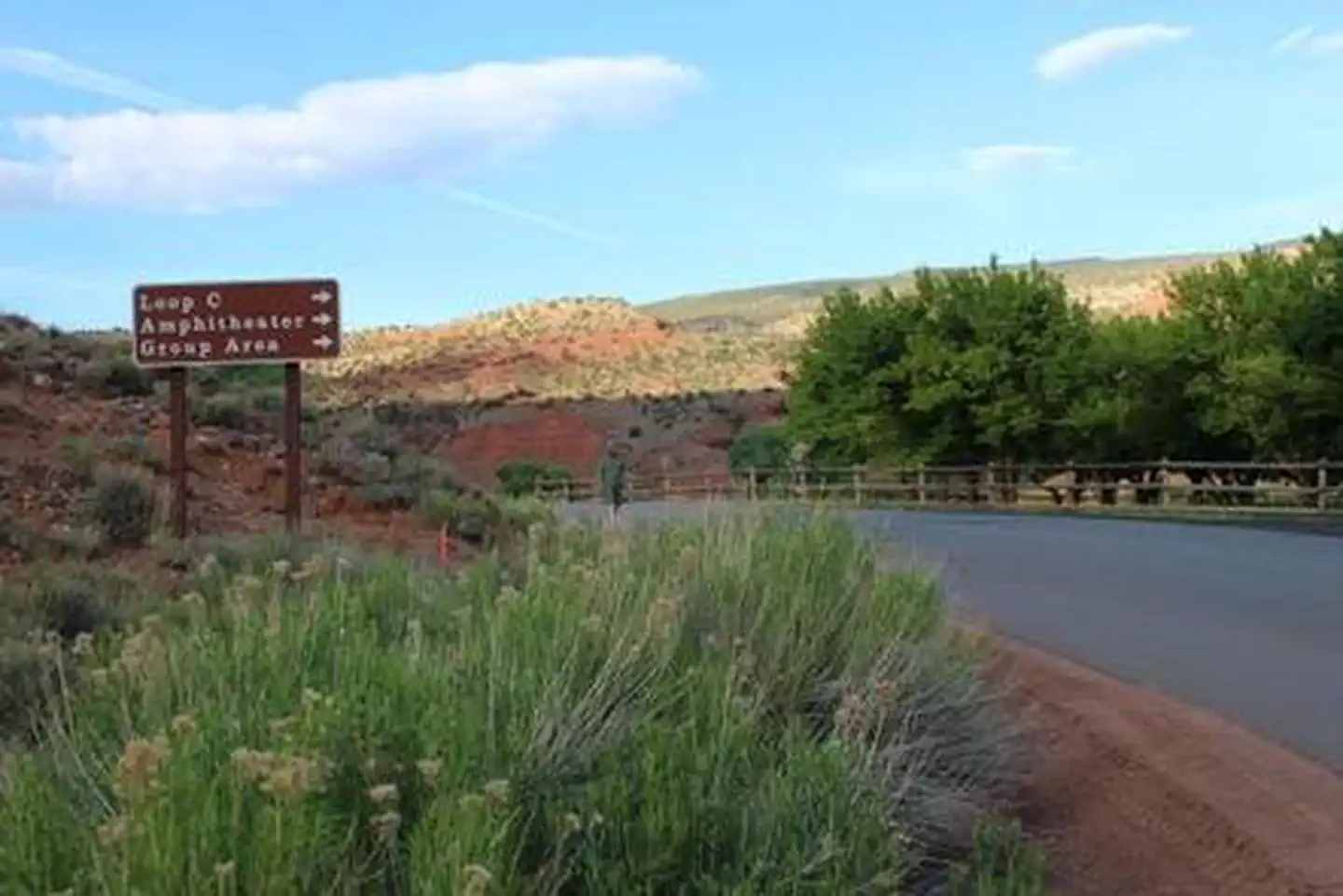
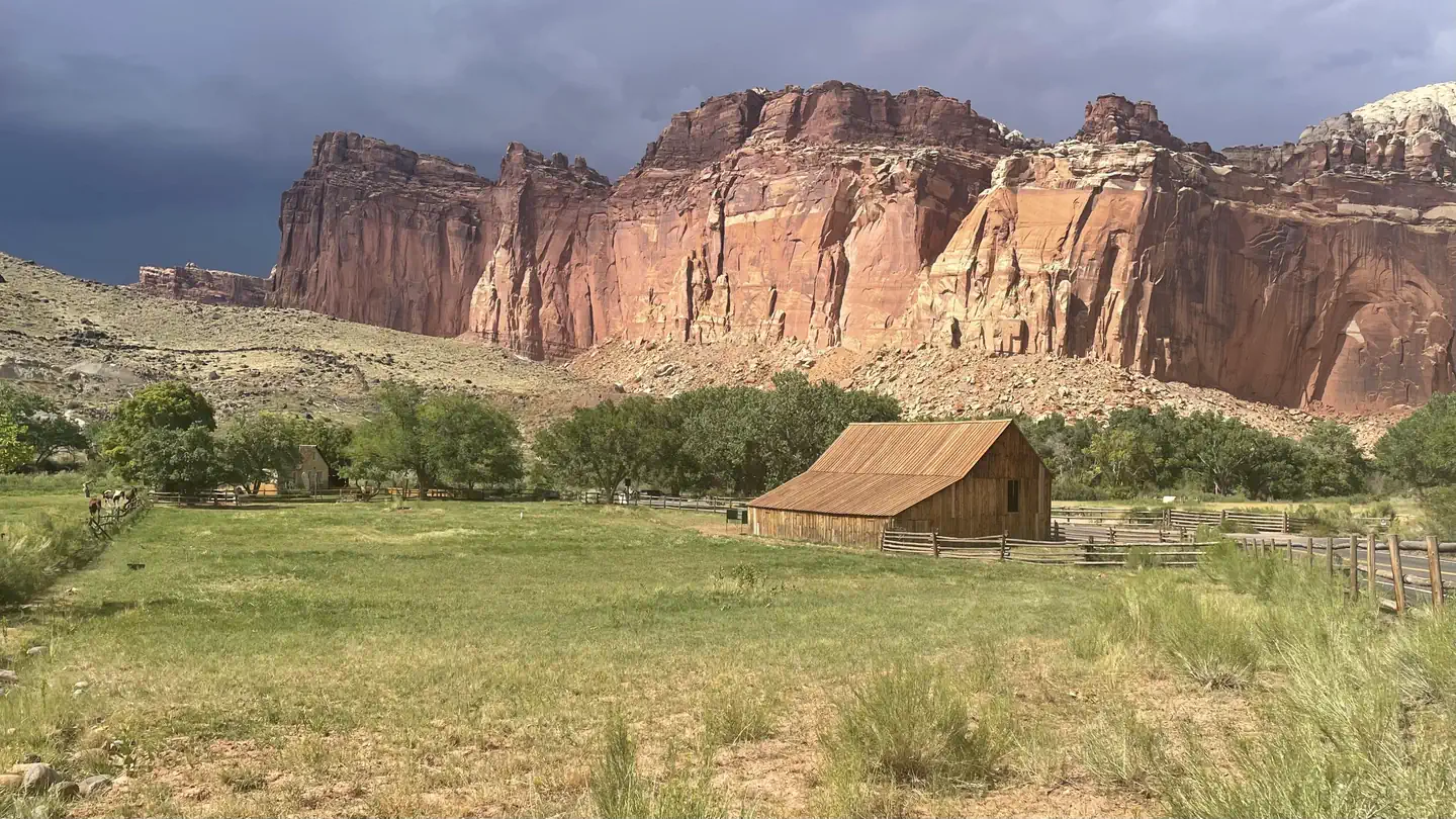
Located in south-central Utah in the heart of red rock country, Capitol Reef National Park is a hidden treasure filled with cliffs, canyons, domes and bridges in the Waterpocket Fold, a geologic monocline (a wrinkle on the earth) extending almost 100 miles (160 km). The Fruita Campground area is located one mile south of the visitor center and is often described as an oasis within the desert. The Group Campsite is near Loop C of the Fruita Campground. It is a semi-shaded, grassy campsite and is located in the Fruita Historic District of the park.
More like this: reservable in Utah · pets allowed in Utah · group sites in Utah · dark sky in Utah
Check availability on Recreation.gov ↗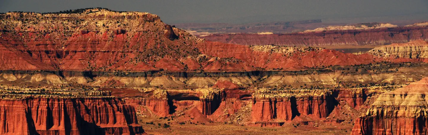
Site mix
| group standard area nonelectric | 1 |
Site guide
1 site. Tap a filter to narrow the list; the map follows.
| Site | Fits, ft | Surface | Shade | People / vehicles | Fires | Rating |
|---|---|---|---|---|---|---|
| Group Site | 100 | Gravel | Partial | 40 / 10 | Yes | Basic |
Per-site records as published by the managing agency on Recreation.gov. Blank cells mean the agency listed nothing for that site. Check-in 11:00 AM, checkout 11:00 AM.
Amenities & rules
| Hookups | None |
| Max vehicle length | 27 ft |
| Equipment | RVs & trailers, Tents |
| Pets | Allowed |
| Campfires | Allowed, subject to restrictions |
| Fees | Capitol Reef charges an entrance fee separate from camping fees. You may pay the fee upon arrival at the entrance station or purchase in advance. The park also honors Federal interagency passes (e.g. annual, senior, access, 4th grade, Golden Age pass etc.). |
| Dark sky | Inside Capitol Reef National Park, a certified International Dark Sky Park |
Sheltered picnic areas are provided at the group campsite and there is a large grassy area for tents and activities. Campers will enjoy the fire pit for relaxing evenings around the campfire and the above-ground grill for cooking. Amenities also include restrooms with flush toilets, a utility sink, drinking fountain and potable water faucets centrally located. There is no electricity available.
Individual sites vary. Confirm on Recreation.gov or with the managing office.
Weather by month
Getting there
Traveling westbound on Interstate 70: Take Utah State Highway 24 west towards Hanksville (exit 149). Stay on Highway 24 for 80 miles (129 km) to reach the park Visitor Center. Traveling on Interstate 15: Take US Highway 50 east at Scipio (exit 188) towards Salina for 30 miles (48 km).
| Nearest town | Torrey, Utah |
| Coordinates | 38.2792° N, 111.2514° W · Directions ↗ |
Fire nearby
- PrescribedFremont River Rd Piles Rx
32 mi from the campground
- PrescribedSalina Canyon East Rx
37 mi from the campground · 17,375 acres
Distance is to the reported incident point, not the fire edge. Call the managing office before you drive.
Supplies & services
| Dump station | Dump station ↗ | 0.3 mi |
| Outdoor gear | Escalante Outfitters ↗ | 40.1 mi |
Locations © OpenStreetMap contributors. Call ahead; hours change seasonally.
Explore
Video
Capitol Reef National Park - The Best Hiking, RV and Tent Camping
Public land it sits in
Fishlake National Forest begins about 14.2 miles away, and it is the closest of these.
- 14.2 miFishlake National Forest ↗National Forest · Forest Service · 1,787,979 acres
- 14.9 miLower Last Chance Wilderness ↗Wilderness · Bureau of Land Management · 19,339 acres
Each unit is published as a centre point and an acreage rather than a boundary, so this section stands it in for a circle of the same area. Whether a campground is inside, and how far it is from one it is outside, are both approximate.
Other campgrounds nearby


Cabin and lookout rentals nearby
On the National Register nearby
- Civilian Conservation Corps Powder MagazineStructure · Torrey · 0.2 mi
- Fruita SchoolhouseBuilding · Fruita · 0.6 mi
- Oyler MineSite · Torrey · 1.8 mi
Natural features
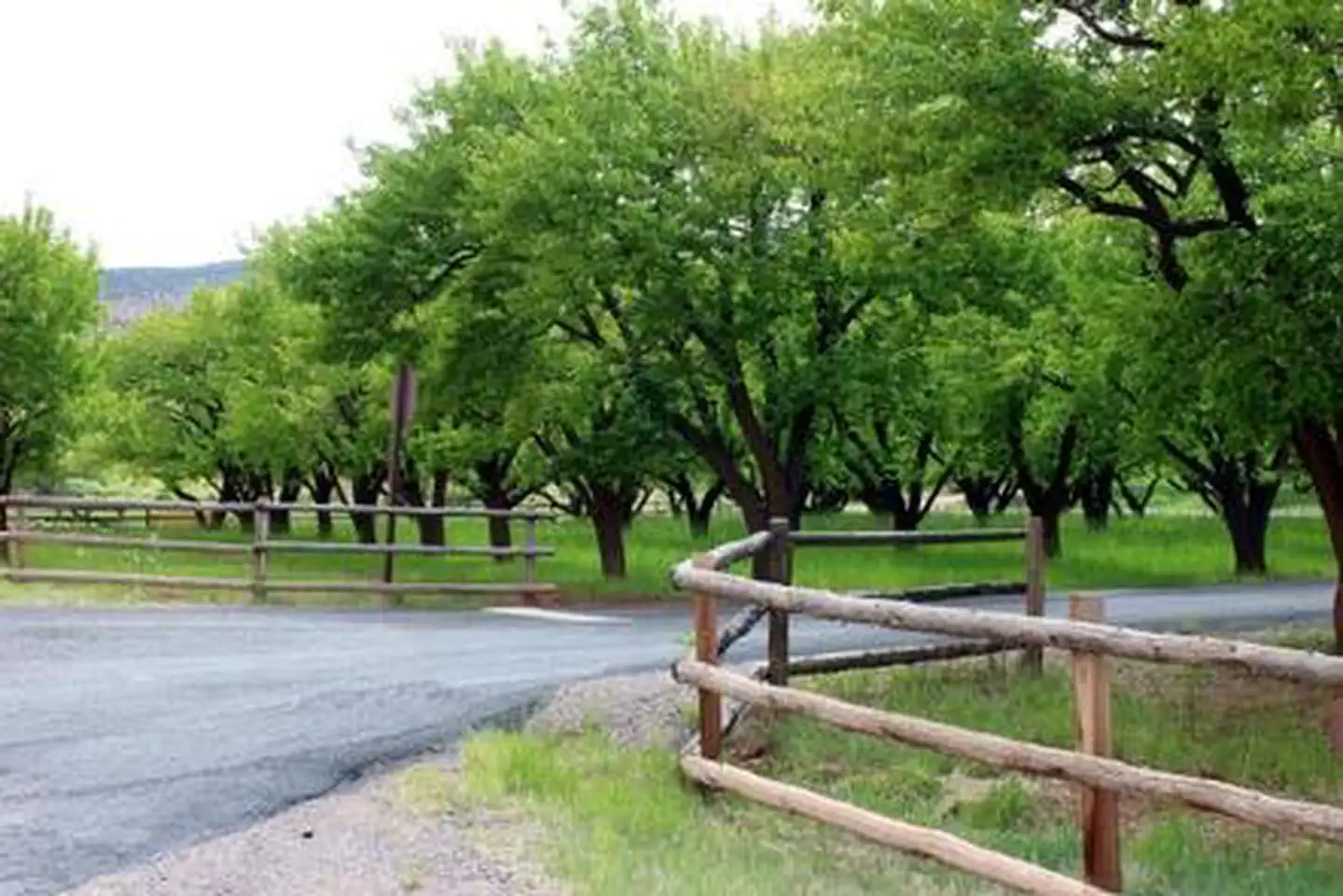
At Fruita Group site, large deciduous trees provide a shaded setting among beautiful and striking red rock cliffs. The group site sits adjacent to the Fremont River at approximately 5,500 feet (1676 m) elevation and is surrounded by unique historic orchards. Nearby, the Waterpocket Fold defines Capitol Reef National Park. The varied topography, geology, elevations, and precipitation patterns along the fold have resulted in a diversity of microhabitats and niches for plant species to inhabit. Seventeen geologic formations are exposed within the Waterpocket Fold, each with unique combinations of minerals, soil types, aspect and slope.
Recreation
Walk to historic inscriptions on the Capitol Gorge Trail and stroll the Goosenecks Trail. Visitors looking for longer trails can visit our Trail Guide and perhaps explore Cohab Canyon, Chimney Rock, and Cassidy Arch. Enjoy the geology and view the Fremont Culture Petroglyphs along Hwy 24. In addition, the Scenic Drive will introduce you to the fascinating cultural and geological history of Capitol Reef National Park. The drive includes a portion of the original road through the Waterpocket Fold. The road passes through parts of the Fruita Historic District and follows the western faces of the Waterpocket Fold, and spur roads allow exploration into beautiful Grand Wash and Capitol Gorge. Check at the Visitor Center for a current schedule of interpretive programs, which may include geology talks, Fremont culture talks, evening programs, star gazing, moonwalks, and geology hikes. Stop in at Ripple Rock Nature Center to experience interactive exhibits, games, activities, and free educational programs. Wander through the historic Fruita Orchards and pick fresh fruit when in season.
Nearby
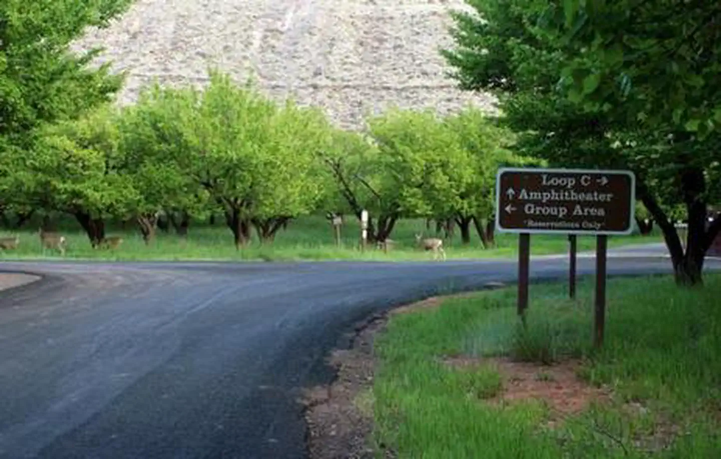
The group site is a short walk from the main campground, amphitheater, picnic areas, hiking trails, the historic Gifford house and orchards.
Guidebooks for Capitol Reef National Park
We earn a small commission if you buy through these links. It does not change what we list.
Titles come from Open Library's catalog, matched by subject heading or by title.
Reference
Questions people ask
Do I need a reservation at Capitol Reef Group Campground?
Sites at Capitol Reef Group Campground are reservable on Recreation.gov. Any walk-up sites are listed on the booking page.
Source: Recreation.gov
How much does it cost to camp at Capitol Reef Group Campground?
Capitol Reef charges an entrance fee separate from camping fees. You may pay the fee upon arrival at the entrance station or purchase in advance. The park also honors Federal interagency passes (e.g.
Source: Recreation.gov
What time is check-in at Capitol Reef Group Campground?
Check-in 11:00 AM, checkout 11:00 AM.
Source: Recreation.gov
How many sites does Capitol Reef Group Campground have?
1 site, including 1 group standard area nonelectric.
Source: Recreation.gov
Will my RV fit at Capitol Reef Group Campground?
The longest site here provides 27 feet of vehicle capacity. Most sites are shorter. The sidebar tool checks a trailer or motorhome length against every site.
Source: Will my RV fit
Are there showers or a dump station at Capitol Reef Group Campground?
Amenities also include restrooms with flush toilets, a utility sink, drinking fountain and potable water faucets centrally located.
Source: Recreation.gov
Are pets allowed at Capitol Reef Group Campground?
Yes, pets are allowed at Capitol Reef Group Campground. Leash rules apply.
Source: Recreation.gov
Can I have a campfire at Capitol Reef Group Campground?
Fires are allowed in the provided rings under normal conditions. As of 2026-10-16, there are 2 active fires within 50 miles, so check current restrictions before you light one.
Source: Fire nearby
Is Capitol Reef Group Campground good for stargazing?
Yes. Capitol Reef Group Campground sits inside Capitol Reef National Park, a certified International Dark Sky Park.
Source: DarkSky International
What is there to do at Capitol Reef Group Campground?
Walk to historic inscriptions on the Capitol Gorge Trail and stroll the Goosenecks Trail. The Recreation section on this page has the rest.
Source: Recreation
What is the nearest town to Capitol Reef Group Campground?
Torrey, Utah. The group site is a short walk from the main campground, amphitheater, picnic areas, hiking trails, the historic Gifford house and orchards.
Source: Getting there
What if Capitol Reef Group Campground is full?
The nearest public campgrounds are Fruita Campground (0.3 mi), Singletree (9.1 mi), and Lower Bowns (12 mi).
Source: Campgrounds nearby