Rosebud ATV
Rosebud ATV Campground is located high on the Colorado Plateau at an elevation of 8300 feet. Torrey, Utah is just 17 miles northwest. Visitors enjoy exploring miles of local ATV trails.
More like this: reservable in Utah · big rigs in Utah · pets allowed in Utah
Check availability on Recreation.gov ↗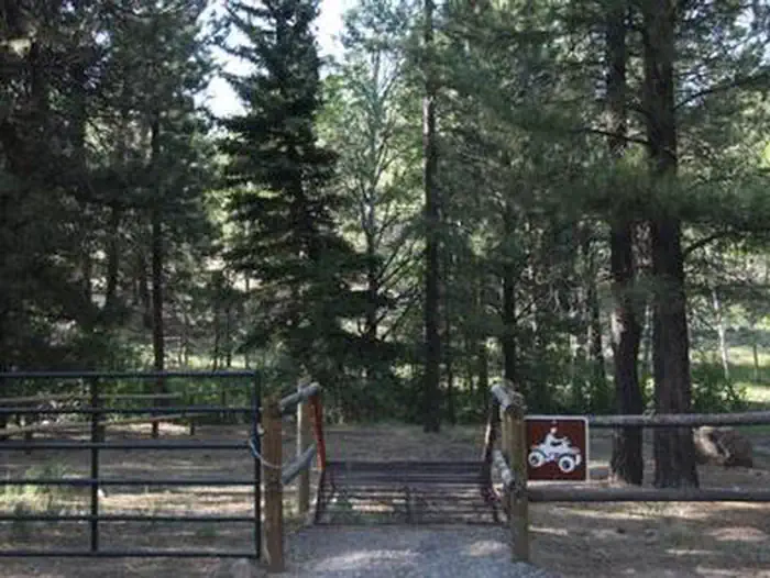
Site mix
| Standard, no hookups | 4 |
Site guide
4 sites. Tap a filter to narrow the list; the map follows.
| Site | Entry | Fits, ft | Surface | Shade | Water / sewer | People / vehicles | Fires | Accessible | Rating |
|---|---|---|---|---|---|---|---|---|---|
| 001 | Back-in | 83 | Gravel | Partial | No / No | 20 / 4 | Yes | Yes | Standard |
| 002 | Back-in | 45 | Gravel | Partial | No / No | 20 / 4 | Yes | Yes | Standard |
| 003 | Back-in | 43 | Gravel | Partial | No / No | 20 / 4 | Yes | Yes | Standard |
| 004 | Back-in | 40 | Gravel | Partial | No / No | 20 / 4 | Yes | Yes | Standard |
Per-site records as published by the managing agency on Recreation.gov. Blank cells mean the agency listed nothing for that site. Check-in 2:00 PM, checkout 12:00 PM.
Amenities & rules
| Hookups | None |
| Max vehicle length | 83 ft |
| Equipment | RVs & trailers, Tents |
| Pets | Allowed |
| Campfires | Allowed, subject to restrictions |
| Accessibility | Sites 001, 002, 003, 004 are listed accessible |
The campground contains two sites for groups of up to 20 people each, and vault toilets are provided.
Individual sites vary. Confirm on Recreation.gov or with the managing office.
Weather by month
Getting there
From Highway 24, approximately one mile east of Torrey, Utah, take Highway 12 south for 16 miles. Turn east onto Forest Road 186 and travel one mile to the campground.
| Nearest town | Loa, Utah |
| Coordinates | 38.1006° N, 111.3261° W · Directions ↗ |
Fire nearby
- PrescribedFremont River Rd Piles Rx
39 mi from the campground
- PrescribedSalina Canyon East Rx
48 mi from the campground · 17,375 acres
Distance is to the reported incident point, not the fire edge. Call the managing office before you drive.
Supplies & services
| Dump station | Dump station ↗ | 13.3 mi |
| Outdoor gear | Escalante Outfitters ↗ | 27.4 mi |
Locations © OpenStreetMap contributors. Call ahead; hours change seasonally.
Explore
Trails nearby
- 0.6 miRosebud ATV Trail4.4 mi trail · hiking, horse, bike, e-bike
- 0.8 miCat Creek Trail2 mi trail · hiking, horse, bike
- 0.8 miWildcat Trail ↗32.4 mi trail · hiking, horse, bike
- 0.8 miPleasant Creek Trail4.1 mi trail · hiking, horse, bike, motorcycle and 3 more
- 1.3 miHigh Ranger Trail ↗4.6 mi trail · hiking, horse, bike, motorcycle and 3 more
- 1.8 miBehunin Creek Trail3.9 mi trail · hiking, horse, bike
Trail and trailhead records are the Forest Service's. Distances are straight-line to the nearer trail end. Trail conditions are not tracked here.
Public land it sits in
Grand Staircase–Escalante National Monument begins about 12.6 miles away, and it is the closest of these.
- 12.6 miGrand Staircase–Escalante National Monument ↗National Monument · Bureau of Land Management · 181,425 acres
Each unit is published as a centre point and an acreage rather than a boundary, so this section stands it in for a circle of the same area. Whether a campground is inside, and how far it is from one it is outside, are both approximate.
Other campgrounds nearby


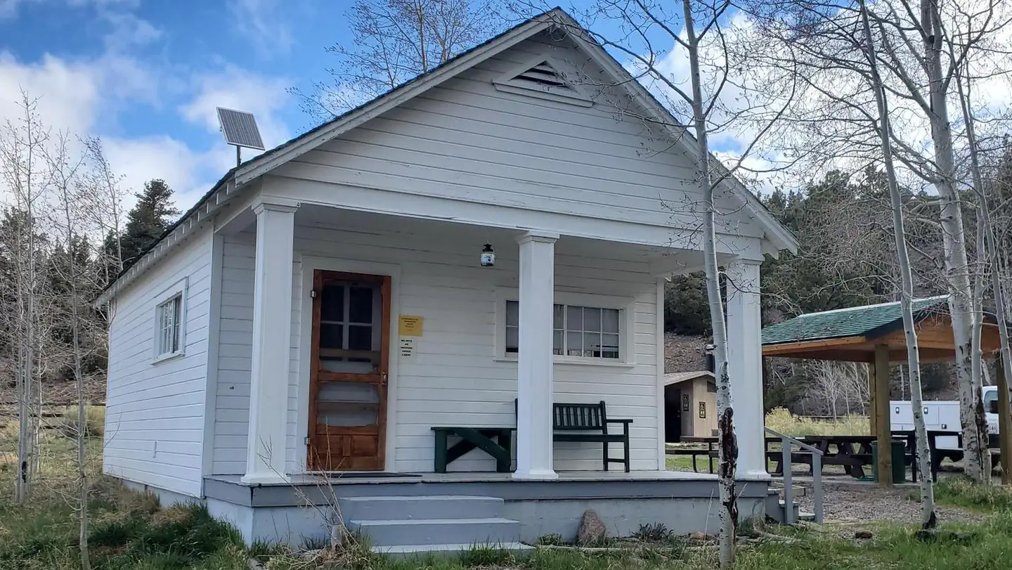
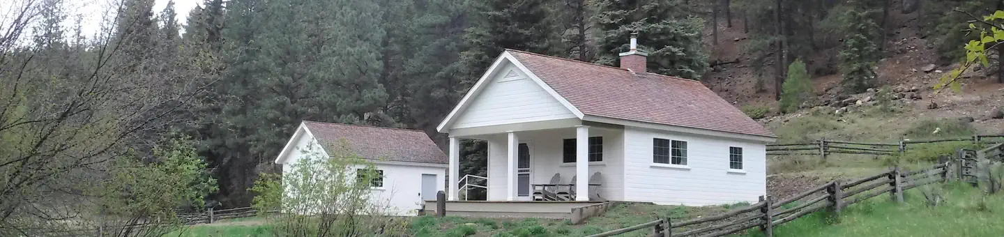
Cabin and lookout rentals nearby
On the National Register nearby
- Grover SchoolBuilding · Grover · 9 mi
- Oak Creek DamStructure · Torrey · 10.3 mi
- Pioneer RegisterSite · Torrey · 11.8 mi
Natural features
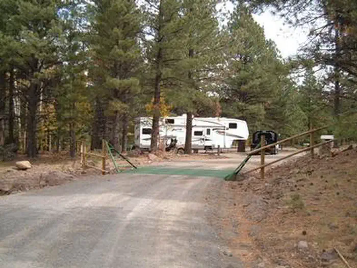
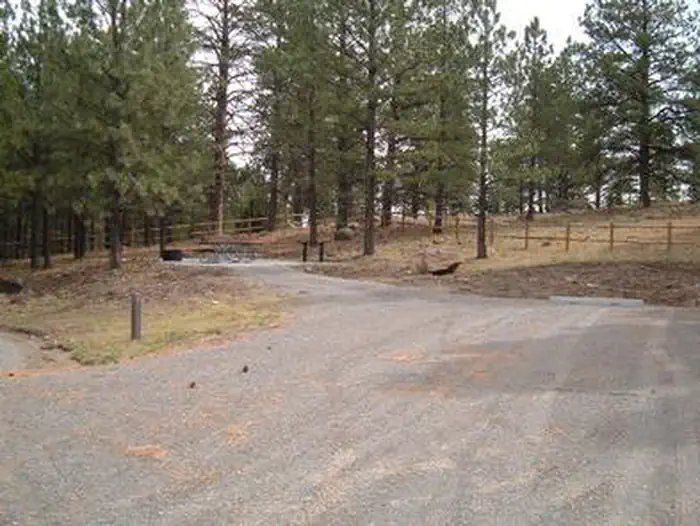
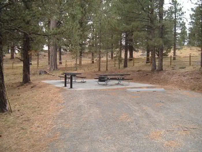
The campground is situated in a scenic ponderosa pine forest on the east side of Boulder Mountain. Pleasant Creek flows next to the site.
Recreation
Rosebud is a haven for off-road vehicle enthusiasts. It is adjacent to the Rosebud ATV Trail, which leads to Lower Bowns Reservoir, offering fishing and boating opportunities.
Nearby
Capitol Reef National Park is approximately 30 miles from Rosebud. This unique park offers excellent hiking trails, historic sites, scenic driving and breathtaking scenery. Sightseeing along Utah Highway 12, a National Scenic Byway, is very popular. Travelers visit from every corner of the world to gaze upon stunning red rock canyons and desert landscapes.
Guidebooks for Utah
We earn a small commission if you buy through these links. It does not change what we list.


Titles come from Open Library's catalog, matched by subject heading or by title.
Reference
Questions people ask
Do I need a reservation at Rosebud ATV?
Sites at Rosebud ATV are reservable on Recreation.gov. Any walk-up sites are listed on the booking page.
Source: Recreation.gov
What time is check-in at Rosebud ATV?
Check-in 2:00 PM, checkout 12:00 PM.
Source: Recreation.gov
How many sites does Rosebud ATV have?
4 sites, including 4 standard sites without power.
Source: Recreation.gov
Will my RV fit at Rosebud ATV?
Recreation.gov lists no practical vehicle capacity limit for the largest site here, which usually means pull-through or open parking. The sidebar tool checks a trailer or motorhome length against every site.
Source: Will my RV fit
Are pets allowed at Rosebud ATV?
Yes, pets are allowed at Rosebud ATV. Leash rules apply.
Source: Recreation.gov
Can I have a campfire at Rosebud ATV?
Fires are allowed in the provided rings under normal conditions. As of 2026-10-16, there are 2 active fires within 50 miles, so check current restrictions before you light one.
Source: Fire nearby
Are there accessible sites at Rosebud ATV?
Sites 001, 002, 003, and 004 are listed accessible on Recreation.gov. What that covers (a paved pad, an accessible table, a nearby accessible restroom) is on each site's booking page.
Source: Recreation.gov
What is there to do at Rosebud ATV?
Rosebud is a haven for off-road vehicle enthusiasts. The Recreation section on this page has the rest.
Source: Recreation
What is the nearest town to Rosebud ATV?
Loa, Utah. Capitol Reef National Park is approximately 30 miles from Rosebud.
Source: Getting there
What if Rosebud ATV is full?
The nearest public campgrounds are Upper pleasant creek campground (0.6 mi, first-come), Oak Creek Recreation Site (1.2 mi), and Lower Bowns (2.7 mi).
Source: Campgrounds nearby