Aquarius Ranger Station
Aquarius Ranger Station is located about 15 miles south of Loa, in eastern Utah. It sits on the west side of beautiful Boulder Mountain, which makes up half of the expansive Aquarius Plateau. The station was built by the Civilian Conservation Corps in 1937 and was used by generations of Forest Service employees working in the surrounding back country. Recreational activities abound in the surrounding area. Guests enjoy fishing in many lakes on Boulder Top, and exploring local trails.
Check availability on Recreation.gov ↗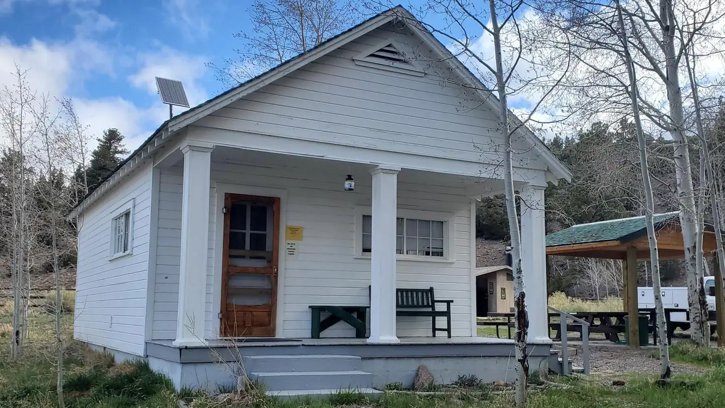
Site mix
| Cabins | 1 |
Site guide
1 site. Tap a filter to narrow the list; the map follows.
| Site | Surface | Shade | Water / sewer | People / vehicles | Fires |
|---|---|---|---|---|---|
| 01 | Gravel | Partial | No / – | 20 / 4 | Yes |
Per-site records as published by the managing agency on Recreation.gov. Blank cells mean the agency listed nothing for that site. Check-in 2:00 PM, checkout 12:00 PM.
Amenities & rules
| Max vehicle length | 30 ft |
| Campfires | Allowed, subject to restrictions |
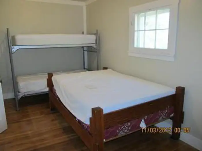
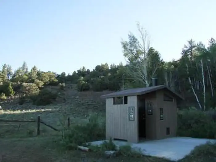
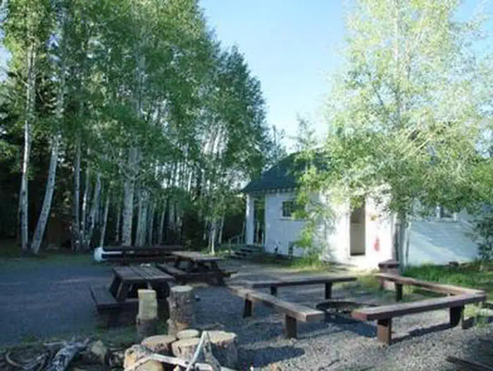
The Aquarius Ranger Station Complex can accommodate a maximum of 20 people, with four inside and 16 camped outside in tents or RVs. The rustic two-room cabin sleeps four people comfortably on one double bed and one set of bunk beds. No linens or bedding are provided. Two or three RVs and several tents are allowed outside. The cabin is equipped with a table and chairs, a wood stove and propane appliances including a cook stove and oven, and hot water heater. Some pots and pans, dishes and utensils are provided, but guests are encouraged to bring their own. A vault toilet is located adjacent to the cabin, as is a campfire circle and several picnic tables. Potable water is available inside the cabin and at a hydrant outside. Solar lighting is available inside the cabin. No smoking in the Ranger Station.
Individual sites vary. Confirm on Recreation.gov or with the managing office.
Weather by month
Getting there
From Loa, travel directly south on the paved county road for about 2 miles. From that point, turn south on Forest Road 154 and travel about 8 miles. Turn left on Forest Road 178 and travel about 5 miles, then turn left onto the Aquarius Ranger Station Road and travel approximately a quarter-mile to the cabin.
| Nearest town | Loa, Utah |
| Coordinates | 38.1953° N, 111.5761° W · Directions ↗ |
Good to know
- Pets are not allowed inside the Ranger Station.
Fire nearby
- PrescribedFremont River Rd Piles Rx
28 mi from the campground
- PrescribedSalina Canyon East Rx
41 mi from the campground · 17,375 acres
Distance is to the reported incident point, not the fire edge. Call the managing office before you drive.
Supplies & services
| Dump station | Dump station ↗ | 18.8 mi |
| Outdoor gear | Escalante Outfitters ↗ | 29.4 mi |
Locations © OpenStreetMap contributors. Call ahead; hours change seasonally.
Explore
Trails nearby
- 0.7 miPine Creek Trail0.8 mi trail · hiking, horse, bike
- 2.1 miAlternate Access1 mi trail · hiking, horse, bike
- 2.1 miWildcat Trail ↗32.4 mi trail · hiking, horse, bike
- 2.8 miGrove Draw ATV Trail1.2 mi trail · hiking, horse, bike, e-bike
- 2.8 miWildcat Spur0.9 mi trail · hiking, horse, bike
- 3.2 miMiller Creek Trail4 mi trail · hiking, horse, bike
Trail and trailhead records are the Forest Service's. Distances are straight-line to the nearer trail end. Trail conditions are not tracked here.
Public land it sits in
Fishlake National Forest begins about 5.3 miles away, and it is the closest of these.
- 5.3 miFishlake National Forest ↗National Forest · Forest Service · 1,787,979 acres
Each unit is published as a centre point and an acreage rather than a boundary, so this section stands it in for a circle of the same area. Whether a campground is inside, and how far it is from one it is outside, are both approximate.
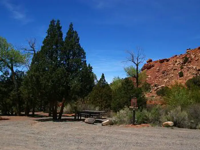
Other campgrounds nearby


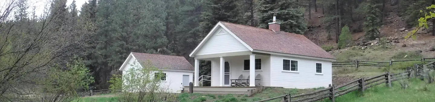
Cabin and lookout rentals nearby
On the National Register nearby
- Teasdale Tithing GranaryBuilding · Teasdale · 8.3 mi
- Hans Peter Nielson GristmillBuilding · Bicknell · 8.5 mi
- Wayne County High SchoolBuilding · Bicknell · 10.2 mi
Natural features
The ranger station is situated at the edge of a meadow lined with aspens and mixed conifers, at an elevation of 8,700 feet. Grasses, sagebrush and summer wildflowers fill the meadow. From the front porch, guests are awarded scenic views of surrounding area. Summer days are warm and nights are cool. Boulder Mountain rises to an elevation of 11,317 feet. Capitol Reef National Park lies on its eastern edge. Boulder is comprised of over 50,000 acres of rolling pine, spruce and aspen forests on its slopes and broad, lake-studded meadows on its top.
Recreation
Pine Creek Reservoir is less than a mile from the ranger station. This small lake covers three acres, and offers fishing for brook trout. Cook Lake, Miller Lake and numerous additional fishing lakes are scattered across Boulder Top. Many hiking, biking and off-road vehicle trails meander through the surrounding area. The Great Western Trail spans nearly 4,500 miles through five states, and runs alongside the station. Hikers, horseback riders, mountain bikers and off-road enthusiasts love this spectacular trail. Big game hunting for black bear, mule deer, elk, grouse and antelope is also a popular activity.
Guidebooks for Utah
We earn a small commission if you buy through these links. It does not change what we list.


Titles come from Open Library's catalog, matched by subject heading or by title.
Reference
Questions people ask
Do I need a reservation at Aquarius Ranger Station?
Sites at Aquarius Ranger Station are reservable on Recreation.gov. Any walk-up sites are listed on the booking page.
Source: Recreation.gov
What time is check-in at Aquarius Ranger Station?
Check-in 2:00 PM, checkout 12:00 PM.
Source: Recreation.gov
How many sites does Aquarius Ranger Station have?
1 site, including 1 cabin.
Source: Recreation.gov
Will my RV fit at Aquarius Ranger Station?
The longest site here provides 30 feet of vehicle capacity. Most sites are shorter. The sidebar tool checks a trailer or motorhome length against every site.
Source: Will my RV fit
Can I have a campfire at Aquarius Ranger Station?
Fires are allowed in the provided rings under normal conditions. As of 2026-10-16, there are 2 active fires within 50 miles, so check current restrictions before you light one.
Source: Fire nearby
Is there cell service at Aquarius Ranger Station?
FCC coverage maps show AT&T 4G LTE at the campground point. Terrain changes that from one site to the next.
Source: FCC Broadband Map
What is there to do at Aquarius Ranger Station?
Pine Creek Reservoir is less than a mile from the ranger station. The Recreation section on this page has the rest.
Source: Recreation
What is the nearest town to Aquarius Ranger Station?
Loa, Utah.
Source: Getting there
What if Aquarius Ranger Station is full?
The nearest public campgrounds are Sunglow Campground (10.6 mi), Singletree (13.6 mi), and Upper pleasant creek campground (14.6 mi, first-come).
Source: Campgrounds nearby