Girard Ridge Lookout
Girard Ridge Lookout was constructed in 1931 and used by the Forest Service on a regular basis until 1981. It is one of the few remaining historic lookouts on the Shasta-Trinity National Forest. The structure at Girard Ridge is reportedly the oldest lookout of its particular design remaining in California. It was restored to its original character in 1997. The lookout offers primitive accommodations, but visitors are rewarded with panoramic views of the mountains during the day and bright, starry skies at night. Staying at Girard Ridge Lookout is an unforgettable experience.
Check availability on Recreation.gov ↗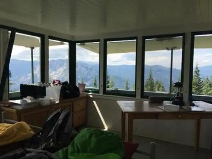
Site mix
| Cabins | 1 |
Site guide
1 site. Tap a filter to narrow the list; the map follows.
| Site | Surface | People / vehicles |
|---|---|---|
| 001 | Gravel | 4 / 4 |
Per-site records as published by the managing agency on Recreation.gov. Blank cells mean the agency listed nothing for that site. Check-in 12:00 PM, checkout 12:00 PM.
Amenities & rules
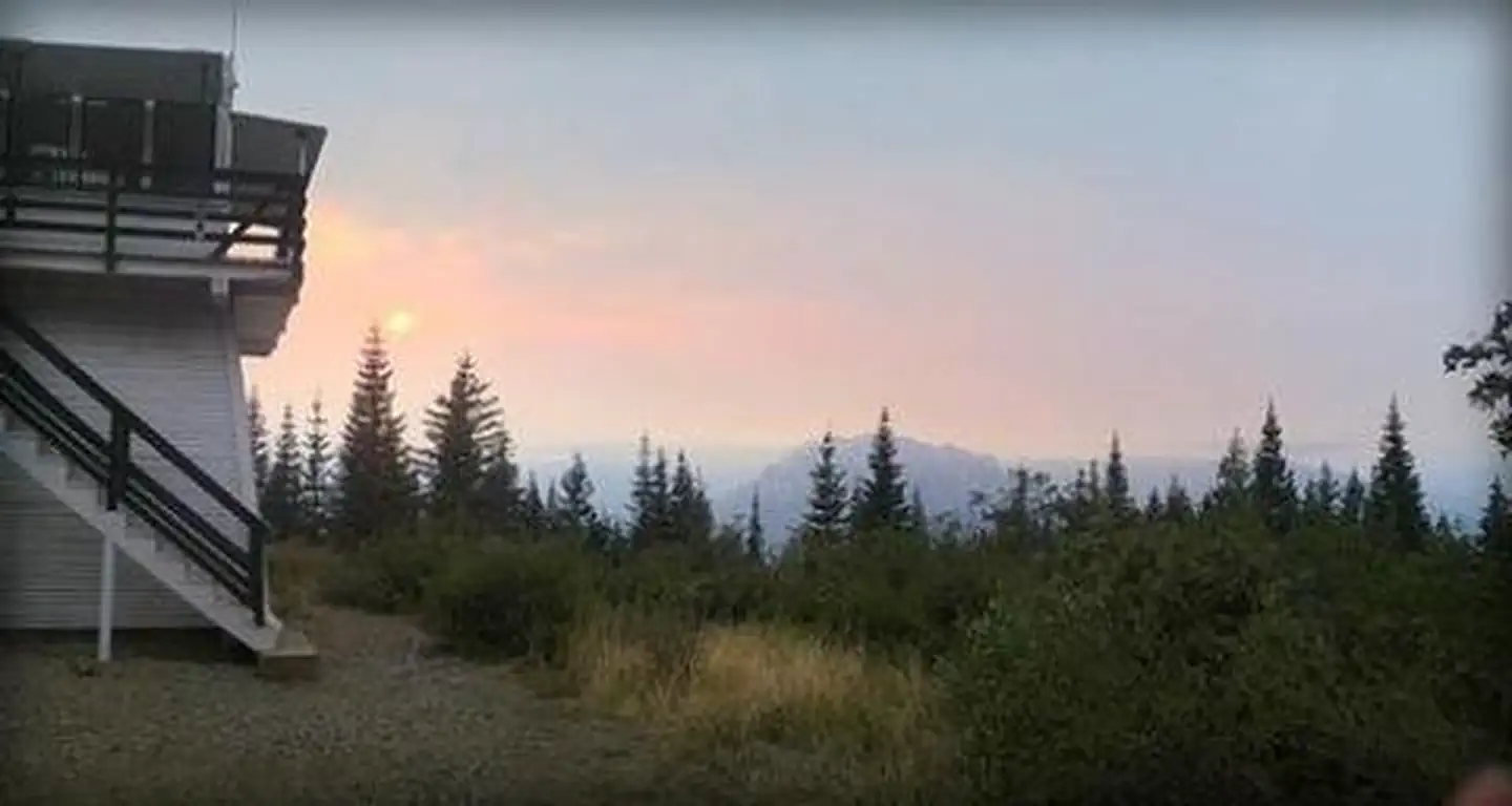
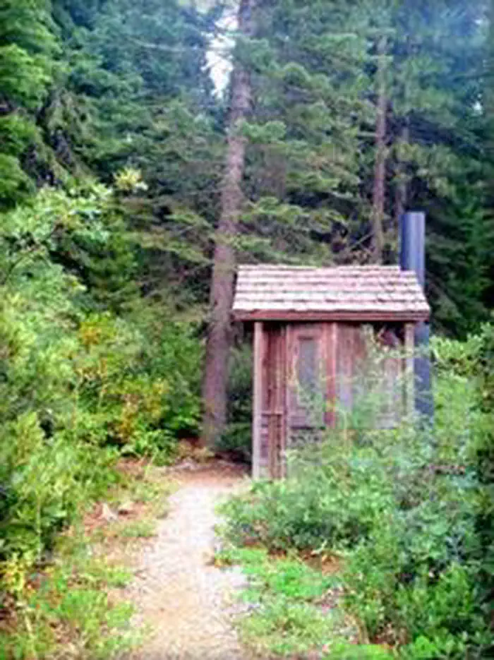
Girard Ridge Lookout stands 13 feet off the ground and is accessed via a flight of stairs. It has a standard 14x14 foot cabin with a gable roof and exterior catwalk. There is a separate building with a vault toilet that is accessed by going down the stairs and walking about 30 feet. The cabin offers two twin beds with mattresses. Cabinets are available for storage and there is a table for eating. Visitors have access to cleaning supplies, including a mop, broom, and cleansers. The lookout has no cooking facilities, no water and no electricity. Visitors are required to bring water. A heat source is needed in cooler temperatures. There are no dishes, utensils, cookware, linens or bedding at the lookout. Visitors must bring garbage bags to pack out trash.
Individual sites vary. Confirm on Recreation.gov or with the managing office.
Weather by month
Getting there
From Redding California, or Mt. Shasta, take Interstate 5 towards Castle Crags State Park. Exit the Interstate at the Soda Creek exit 726. From here, the lookout is approximately 7.5 miles over mostly dirt road. Head east towards the Sacramento River. Cross the bridge over the river and veer right until you come to a road intersection.
| Nearest town | Mccloud, California |
| Coordinates | 41.1281° N, 122.2786° W · Directions ↗ |
Charges and cancellations
A $10.00 service fee will apply if you change or cancel your reservation. Late cancellations are subject to additional fees.
Fire nearby
- PrescribedShf Rx
41 mi from the campground
- PrescribedFive-6 Rx
42 mi from the campground
- PrescribedFive-7 Rx
44 mi from the campground
Distance is to the reported incident point, not the fire edge. Call the managing office before you drive.
Supplies & services
| Outdoor gear | Ted Fay Fly Shop ↗ | 5.8 mi |
| Dump station | Dump station ↗ | 10.7 mi |
| RV sales & service | Cousin Gary RV Center ↗ | 32.8 mi |
Locations © OpenStreetMap contributors. Call ahead; hours change seasonally.
Explore
Trails nearby
- 3.3 miRoot Creek0.3 mi trail · hiking, horse
- 3.5 miIndian Springs0.2 mi trail · hiking, horse
- 3.5 miCastle Dome1.4 mi trail · hiking, horse
- 4.8 miCabin Creek ↗4.8 mi trail · hiking, horse
Trail and trailhead records are the Forest Service's. Distances are straight-line to the nearer trail end. Trail conditions are not tracked here.
Public land it sits in
This campground sits inside Shasta-Trinity National Forest.
- inShasta-Trinity National Forest ↗National Forest · Forest Service · 2,715,499 acres
- 4.6 miCastle Crags Wilderness ↗Wilderness · Forest Service · 10,999 acres
Each unit is published as a centre point and an acreage rather than a boundary, so this section stands it in for a circle of the same area. Whether a campground is inside, and how far it is from one it is outside, are both approximate.
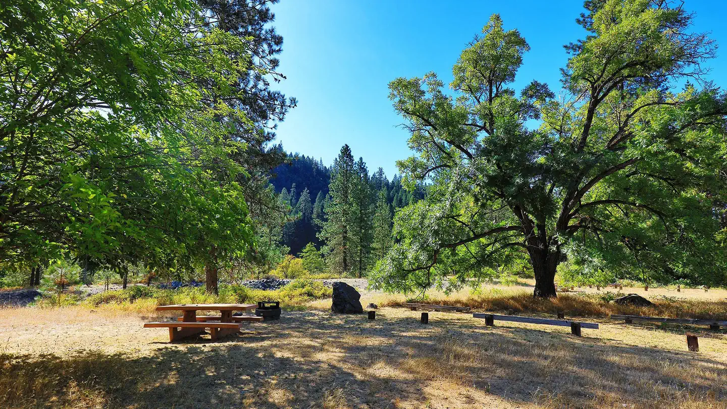
Other campgrounds nearby



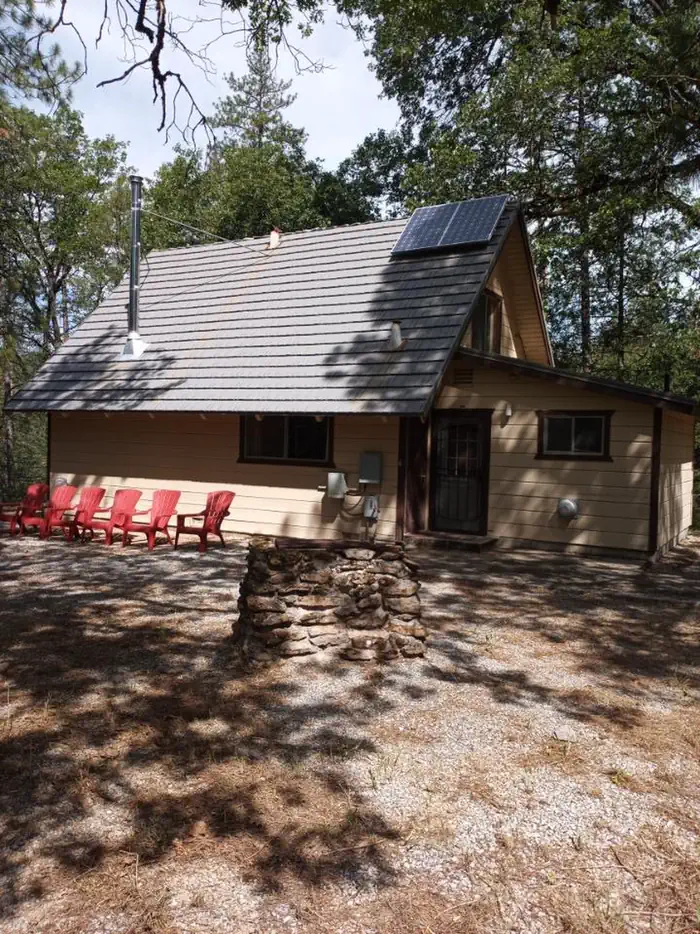
Cabin and lookout rentals nearby

On the National Register nearby
- Dunsmuir Historic Commercial DistrictHistoric district · Dunsmuir · 5.7 mi
Natural features
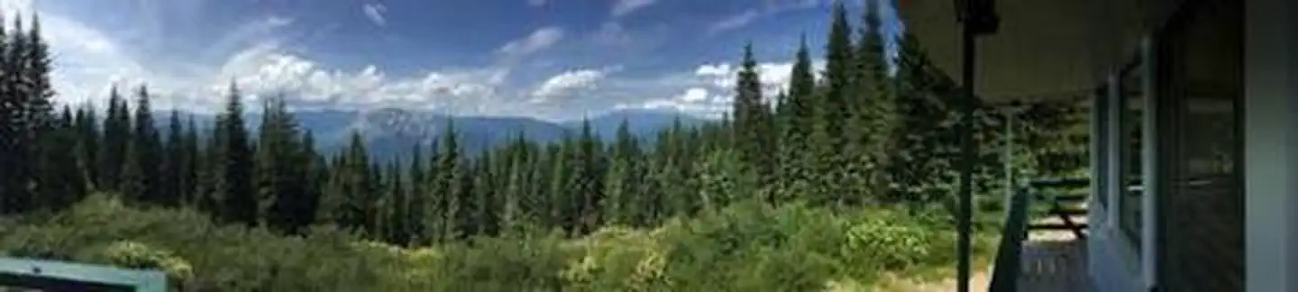
The lookout is located above the Sacramento River Canyon at a height of 4,809 feet. Spectacular views of Mount Shasta are seen to the north, the gray spires of the Castle Crags frame almost the entire view to the west and the distant silhouette of Lassen Peak can be seen to the southeast. Girard Ridge Lookout is surrounded by northern California mixed conifer forest.
Recreation
While the main recreation at Girard Ridge Lookout is enjoying the scenery, there are opportunities to hike, hunt, and fish. Hikers can walk north on the Forest Service road for 3 miles from the lookout to where it meets the Pacific Crest Trail.
Nearby
Castle Crags State Park is nearby, offering hiking trails, including access to the Castle Crags Wilderness in the Shasta-Trinity National Forest, and the chance to fish and swim in the Sacramento River.
Guidebooks for California
We earn a small commission if you buy through these links. It does not change what we list.

Titles come from Open Library's catalog, matched by subject heading or by title.
Reference
Questions people ask
Do I need a reservation at Girard Ridge Lookout?
Sites at Girard Ridge Lookout are reservable on Recreation.gov. Any walk-up sites are listed on the booking page.
Source: Recreation.gov
What time is check-in at Girard Ridge Lookout?
Check-in 12:00 PM, checkout 12:00 PM.
Source: Recreation.gov
What does it cost to cancel a reservation at Girard Ridge Lookout?
A $10.00 service fee will apply if you change or cancel your reservation.
Source: Charges and cancellations
How many sites does Girard Ridge Lookout have?
1 site, including 1 cabin.
Source: Recreation.gov
Is there cell service at Girard Ridge Lookout?
FCC coverage maps show Verizon 4G LTE, AT&T 4G LTE, and T-Mobile 5G at the campground point. Terrain changes that from one site to the next.
Source: FCC Broadband Map
What is there to do at Girard Ridge Lookout?
While the main recreation at Girard Ridge Lookout is enjoying the scenery, there are opportunities to hike, hunt, and fish. The Recreation section on this page has the rest.
Source: Recreation
What is the nearest town to Girard Ridge Lookout?
Mccloud, California. Castle Crags State Park is nearby, offering hiking trails, including access to the Castle Crags Wilderness in the Shasta-Trinity National Forest, and the chance to fish and swim in the Sacramento River.
Source: Getting there
What if Girard Ridge Lookout is full?
The nearest public campgrounds are Sims Flat Campground (6.2 mi, first-come), Castle Lake Campground (9.1 mi, first-come), and Ahdina Campground (9.5 mi, first-come).
Source: Campgrounds nearby