Sims Flat Campground
Description: This campground is located alongside the Sacramento River at an elevation of 1600 feet. There are 19 sites with tables and fire-rings. Suitable for tents and mid-sized RVs or trailers. Flush toilets; piped water. 14 day limit. $15 per night. No reservations. Usually opens by last Saturday in April and closes Nov. 15th. Features: Historic location of Civilian Conservation Corps camp in the 1930s. Interpretive signs depict the camp and suspension bridge spanning the river built by the CCC. World renown fishing on a classic trout stream. Train buffs enjoy watching Union Pacific freight trains as they make their way through the canyon.
Sites are first-come, first-served. Recreation.gov lists this campground for paying on site, and you may be able to pay with the Scan and Pay feature of its app.
More like this: first-come in California · tent only in California

Amenities & rules
| Equipment | Tents |
Individual sites vary. Confirm on Recreation.gov or with the managing office.
Season & status
| Status | Closed for the season. Forest Service sites close for the season; check the official page for the reopening date. |
| Forest | Shasta-Trinity National Forest |
Weather by month
Getting there
| Coordinates | 41.0618° N, 122.3594° W · Directions ↗ |
Fire nearby
- PrescribedFive-6 Rx
36 mi from the campground
- PrescribedShf Rx
37 mi from the campground
- PrescribedFive-7 Rx
38 mi from the campground
Distance is to the reported incident point, not the fire edge. Call the managing office before you drive.
Supplies & services
| Outdoor gear | Ted Fay Fly Shop ↗ | 11.3 mi |
| Dump station | Dump station ↗ | 14.7 mi |
| RV sales & service | Cousin Gary RV Center ↗ | 28 mi |
Locations © OpenStreetMap contributors. Call ahead; hours change seasonally.
Explore
Worth a stop
- 12.3 mi
- 14.3 mi
- 14.5 miDekkas Rock Day Use Area ↗Day use
Trails nearby
- 0.2 miSims Bridge ↗0.5 mi trail · hiking, horse, bike
Trail and trailhead records are the Forest Service's. Distances are straight-line to the nearer trail end. Trail conditions are not tracked here.
Public land it sits in
This campground sits inside Shasta-Trinity National Forest.
- inShasta-Trinity National Forest ↗National Forest · Forest Service · 2,715,499 acres
- 7 miCastle Crags Wilderness ↗Wilderness · Forest Service · 10,999 acres
Each unit is published as a centre point and an acreage rather than a boundary, so this section stands it in for a circle of the same area. Whether a campground is inside, and how far it is from one it is outside, are both approximate.
Other campgrounds nearby
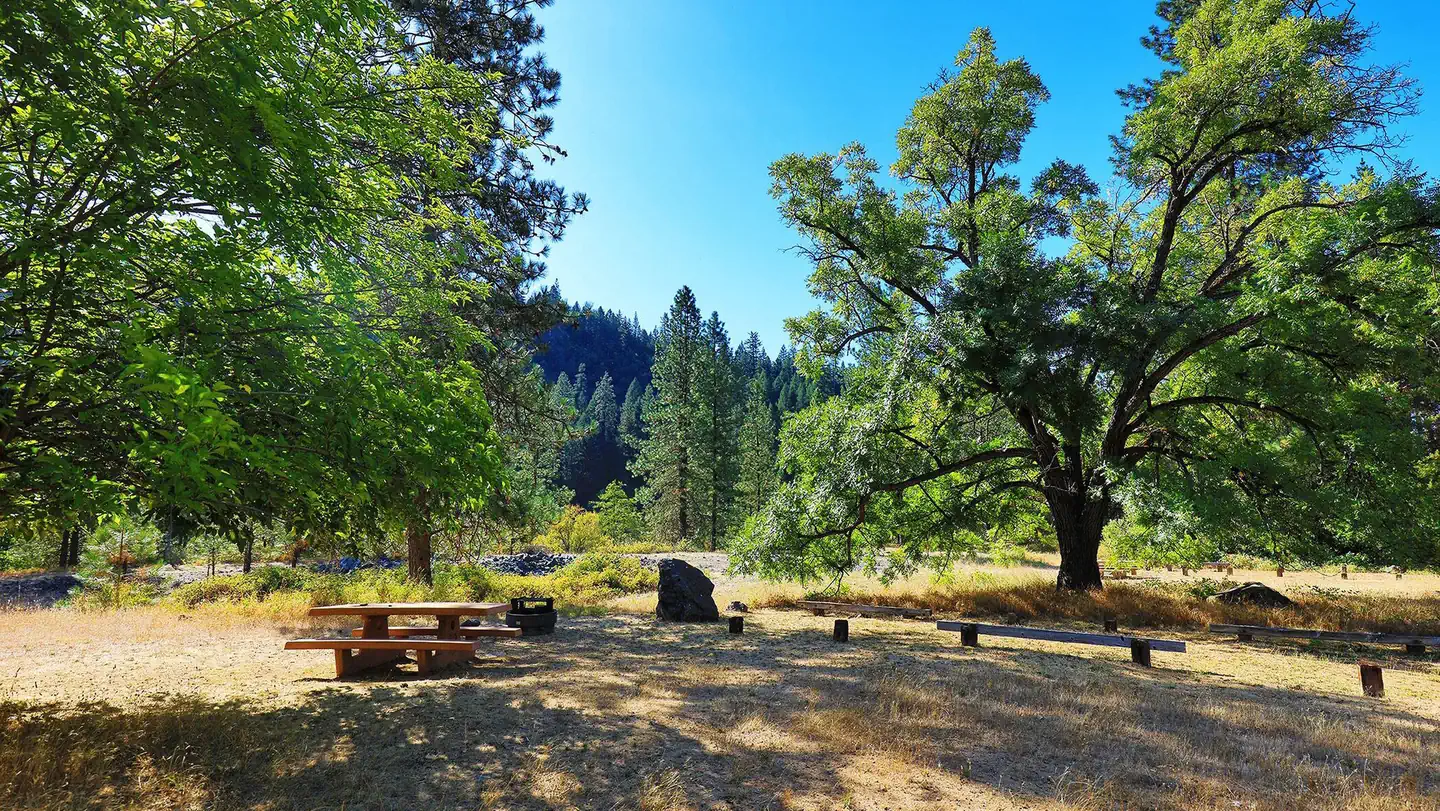
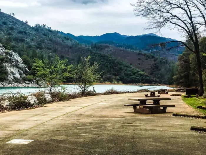
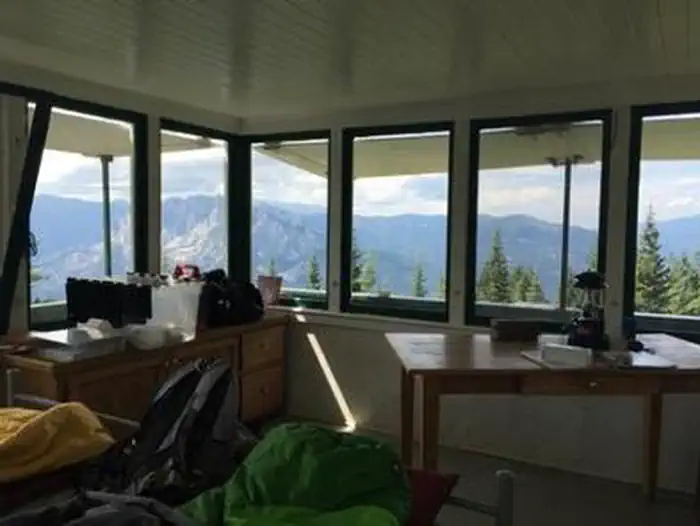
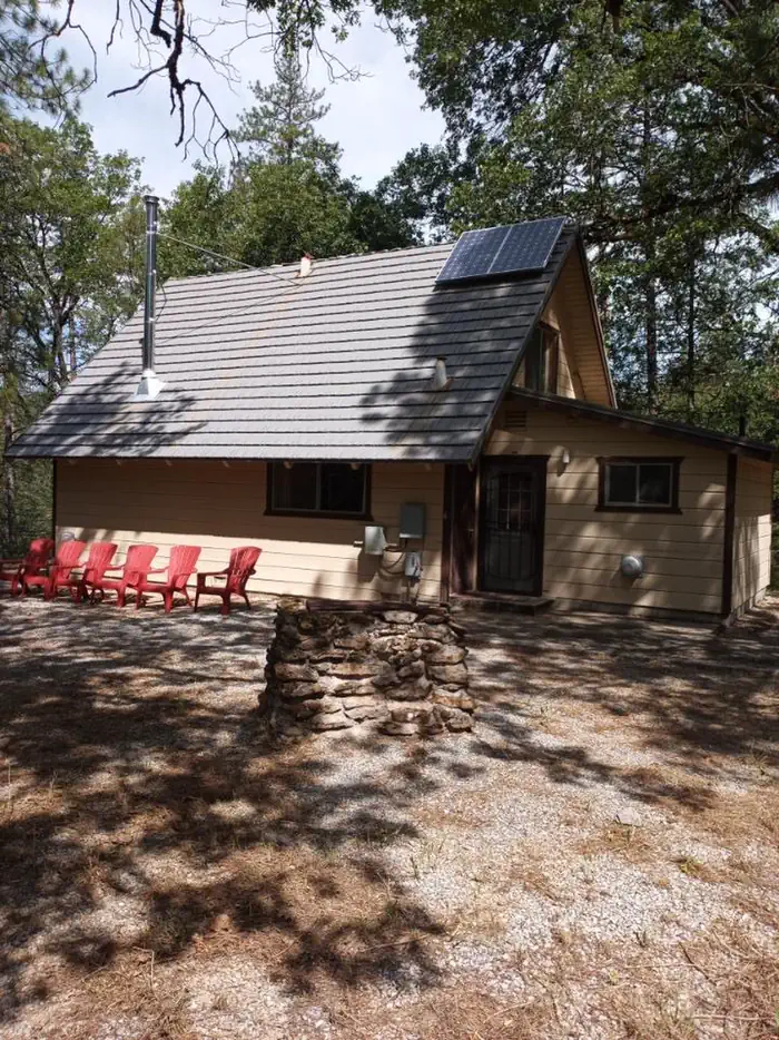
Cabin and lookout rentals nearby

On the National Register nearby
- Dunsmuir Historic Commercial DistrictHistoric district · Dunsmuir · 11.2 mi
Guidebooks for California
We earn a small commission if you buy through these links. It does not change what we list.

Titles come from Open Library's catalog, matched by subject heading or by title.
Reference
Questions people ask
Do I need a reservation at Sims Flat Campground?
No. Sims Flat Campground is first-come, first-served. Sites are taken on arrival and paid at the fee station.
Source: Forest Service
Is Sims Flat Campground open right now?
Closed for the season as of Oct 16, 2026.
Source: Forest Service status
How many sites does Sims Flat Campground have?
19 sites.
Source: Forest Service
Can I bring an RV to Sims Flat Campground?
Sims Flat Campground is listed for tents only.
Source: Forest Service
What if Sims Flat Campground is full?
The nearest public campgrounds are Mccloud Bridge (10.4 mi, first-come), Pine Point (11 mi), and Ellery Creek (11.8 mi).
Source: Campgrounds nearby