Ahdina Campground
AhDiNa Recreation Opportunity Guide. Description: Located on the Lower McCloud River at an elevation of 2300 feet, this remote campground has 16 sites with tables and fire rings, flush toilets, and drinking water. The dirt access road from Lake McCloud is very rough and rocky. Low clearance vehicles, trailers, and RVs are not advised. 14 day limit. $10 per night. No reservations. Generally open May 01- November 1st. Features: This campground is situated on an historic site used by Native American tribes and various land owners over the years, including the families of Whittier, Fitzhugh, and William Randolph Hearst.
Sites are first-come, first-served. Recreation.gov lists this campground for paying on site, and you may be able to pay with the Scan and Pay feature of its app.
More like this: first-come in California · tent only in California

Site map
9 campsite locations mapped by OpenStreetMap contributors. The site numbers are theirs and may not match the posts at the campground. Map data © OpenStreetMap contributors, ODbL.
Amenities & rules
| Equipment | Tents |
| Fees | $10 per day. Access includes 4 miles of unpaved very rough, rocky roads. Trailers, passenger cars not recommended. |
Description: Located on the Lower McCloud River at an elevation of 2300 feet, this remote campground has 16 sites with tables and fire rings, flush toilets, and drinking water. The dirt access road from Lake McCloud is very rough and rocky. Low clearance vehicles, trailers, and RVs are not advised. 14 day limit. $10 per night. No reservations. Generally open May 01- November 1st. According to local lore the site's name is derived from the first two initials of the first names of the three daughters of one of the previous owners. It is pronounced "Uhdeenuh". One word, soft 'A' hard 'E'.
Individual sites vary. Confirm on Recreation.gov or with the managing office.
Season & status
| Status | Closed for the season. Forest Service sites close for the season; check the official page for the reopening date. |
| Forest | Shasta-Trinity National Forest |
| Fees | $10 per day. Access includes 4 miles of unpaved very rough, rocky roads. Trailers, passenger cars not recommended. |
Weather by month
Getting there
From the McCloud Ranger Station, turn right on SR 89. Go approximately 1/4 mile to the left turn lane. Turn left and go approximately 10 miles to Lake McCloud. Stay on the paved road the goes around the lake. In 3 miles there will be a sign for AH-DI-NA.
| Coordinates | 41.1099° N, 122.0972° W · Directions ↗ |
Fire nearby
- PrescribedShf Rx
41 mi from the campground
- PrescribedFive-6 Rx
50 mi from the campground
Distance is to the reported incident point, not the fire edge. Call the managing office before you drive.
Supplies & services
| Dump station | Dump station ↗ | 9.9 mi |
| Outdoor gear | Ted Fay Fly Shop ↗ | 11.5 mi |
| RV sales & service | Cousin Gary RV Center ↗ | 34.1 mi |
Locations © OpenStreetMap contributors. Call ahead; hours change seasonally.
Explore
Trails nearby
- 1.1 miMcCloud River1 mi trail · hiking, horse, bike
- 4.5 miCabin Creek ↗4.8 mi trail · hiking, horse
Trail and trailhead records are the Forest Service's. Distances are straight-line to the nearer trail end. Trail conditions are not tracked here.
Public land it sits in
This campground sits inside Shasta-Trinity National Forest.
- inShasta-Trinity National Forest ↗National Forest · Forest Service · 2,715,499 acres
- 11.1 miKlamath National Forest ↗National Forest · Forest Service · 1,705,451 acres
- 13.3 miCastle Crags Wilderness ↗Wilderness · Forest Service · 10,999 acres
Each unit is published as a centre point and an acreage rather than a boundary, so this section stands it in for a circle of the same area. Whether a campground is inside, and how far it is from one it is outside, are both approximate.
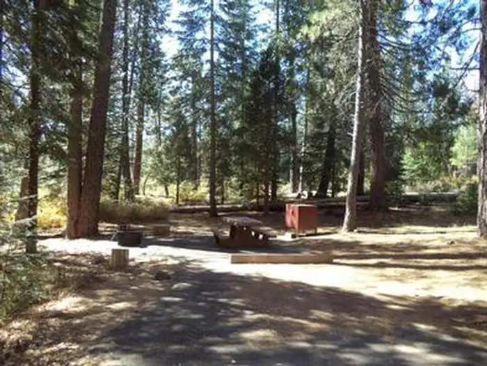
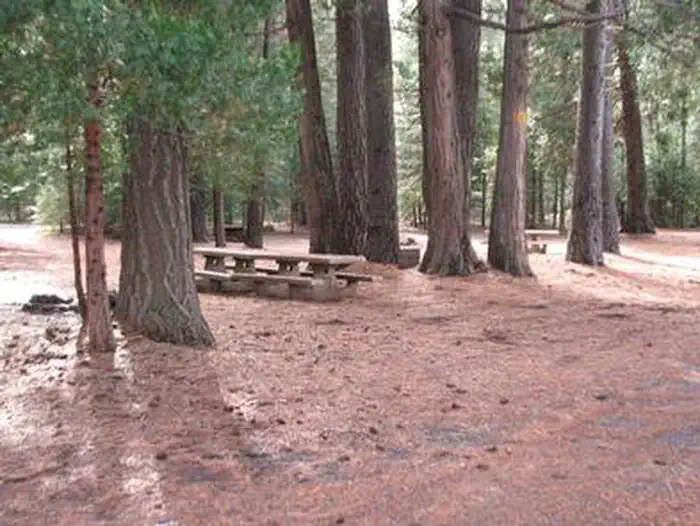
Other campgrounds nearby
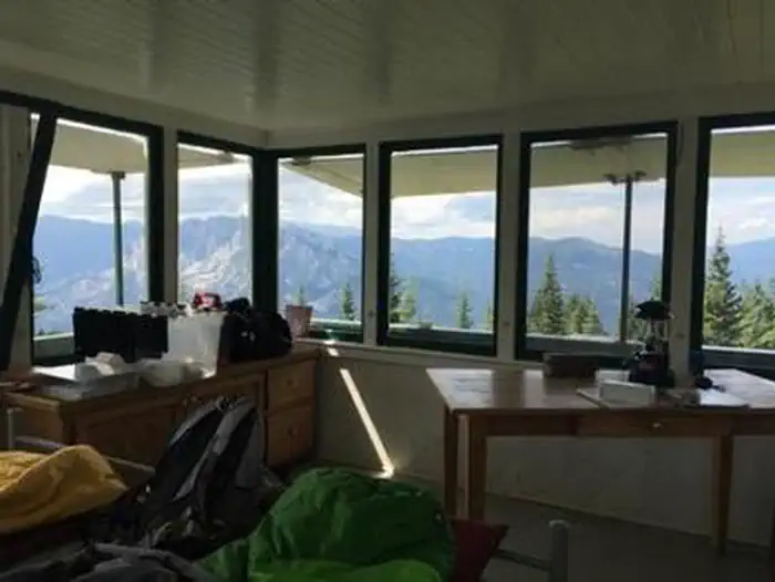
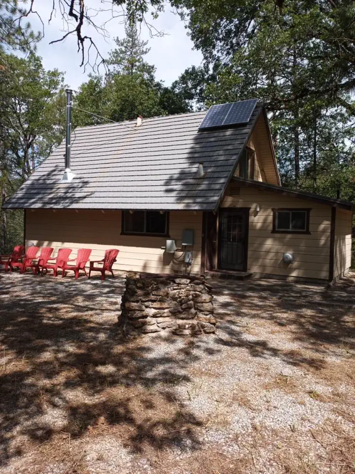
Cabin and lookout rentals nearby

On the National Register nearby
- Dunsmuir Historic Commercial DistrictHistoric district · Dunsmuir · 11.4 mi
Natural features
Features: This campground is situated on an historic site used by Native American tribes and various land owners over the years, including the families of Whittier, Fitzhugh, and William Randolph Hearst. Visitors can explore and identify the remains of several buildings, foundations, rock walls, and an orchard that still produces fruit. The Lower McCloud River is a world renown native trout fishery which makes this camp a favorite for anglers. California Fish and Game regulations for this section of river allow only the use of artificial lures with barbless hooks.
Nearby
AH-DI-NA (2,200' elevation) The PCT, running east from AH-DI-NA campground, parallels the McCloud River but remains well above it with only infrequent views of the river. The river has carved a steep, impressive canyon along this stretch of the trail. It is an enjoyable 2.5 mile hike to Ash Camp. Bald Mountain ridge is a 4.5 mile uphill climb to the west of AH-DI-NA Campground. The trail passes through an oak and Douglas fir forest and a variety of wildlife may be observed. Directions: Follow the road signs to AH-DI-NA Campground 16 miles south of the town of McCloud. The trail crosses the road 0.5 miles north of the campground. Ash Camp (2,400' elevation) AH-DI-NA Campground is a 2.5 mile hike to the west of Ash Camp. To the east, Grizzly Peak is a steady 10 mile uphill climb. This section passes through the Butcherknife Creek and Deer Creek drainages before it tops out along the Grizzly Peak ridge system at 6,000'.
Guidebooks for California
We earn a small commission if you buy through these links. It does not change what we list.

Titles come from Open Library's catalog, matched by subject heading or by title.
Reference
Questions people ask
Do I need a reservation at Ahdina Campground?
No. Ahdina Campground is first-come, first-served. Sites are taken on arrival and paid at the fee station.
Source: Forest Service
How much does it cost to camp at Ahdina Campground?
$10 per day. Access includes 4 miles of unpaved very rough, rocky roads. Trailers, passenger cars not recommended.
Source: Forest Service
Is Ahdina Campground open right now?
Closed for the season as of Oct 16, 2026.
Source: Forest Service status
How many sites does Ahdina Campground have?
16 sites.
Source: Forest Service
Can I bring an RV to Ahdina Campground?
Ahdina Campground is listed for tents only.
Source: Forest Service
Are there showers or a dump station at Ahdina Campground?
Description: Located on the Lower McCloud River at an elevation of 2300 feet, this remote campground has 16 sites with tables and fire rings, flush toilets, and drinking water.
Source: Forest Service
What if Ahdina Campground is full?
The nearest public campgrounds are Deadlun Campground (7.2 mi, first-come), Fowlers Campground (10.1 mi), and Camp 4 Group Campground (10.4 mi).
Source: Campgrounds nearby