Sam Brown Campground
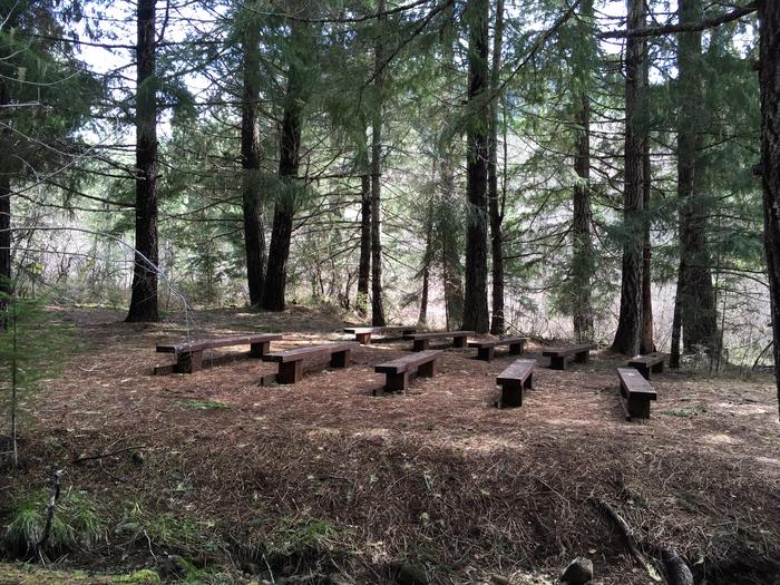
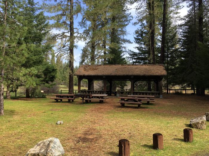
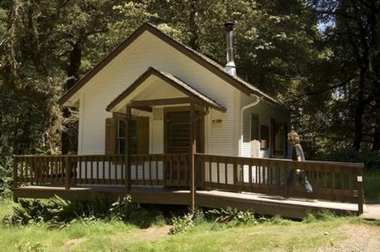
Sam Brown Campground is centered around a large meadow that has a colorful history of the earlier miner and homesteader to the area. Trails are located throughout the area, as well, with options for hiking, mountain biking, horseback riding, and motorcycles, including Elkhorn Mine Jeep Road. The size of this campground, and nature of the landscape, lends itself to large group camping, with 2 picnic shelters, and amphitheater. The meadow is great for group activities and is also a great place to wildlife watch: deer, elk, and a plethora of bird species frequent the area. Briggs Creek flows through the area before passing on to the Illinois River.
More like this: reservable in Oregon · tent only in Oregon
Check availability on Recreation.gov ↗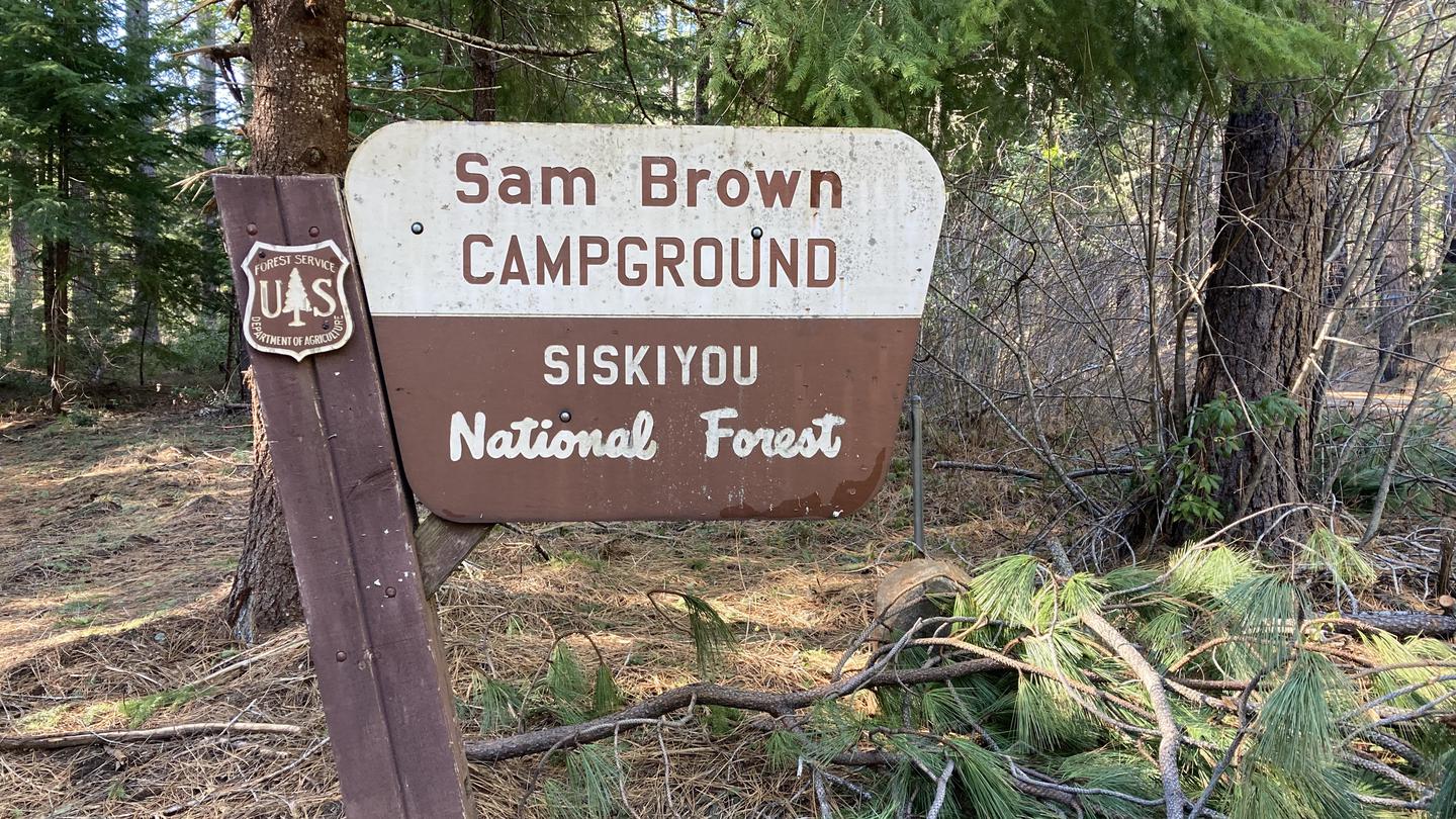
Site mix
| Standard, no hookups | 25 |
| Host/management | 1 |
Amenities & rules
| Equipment | Tents |
| Fees | Overnight Camping: $10 per site per night; Additional Vehicle Fee: $5 per vehicle per day. NOTE: 50% discount for Interagency Senior and Access Pass holders on a single campsite. This discount does not apply to extra vehicle fees. |
- 19 campsites with picnic tables, and fire pits
- No water available. Please bring your own water.
- 3 vault toilets
- No trash service available, pack out what you pack in.
Individual sites vary. Confirm on Recreation.gov or with the managing office.
Season & status
| Forest | Rogue River-Siskiyou National Forest |
| Booking | First come, first served |
| Fees | $10 for campsite. $5 for extra vehicle |
| Rules | Quiet hours between 10 p.m. and 6 a.m. Campfires in developed fire pits only. Fireworks are prohibited. Dogs must be on leash. OHV/ATV use prohibited in the campground. Maximum length of stay: 14 days |
Weather by month
Getting there
From Interstate 5, take the Merlin Exit to Merlin / Galice Road approximately 12 miles to the Briggs Valley Road (Forest Road 2500). Follow Forest Road 2500 approximately 15 miles to Forest Road 2512, turn right and the campground will be on your left about 0.5 mile up the road.
| Coordinates | 42.4431° N, 123.6889° W · Directions ↗ |
Fire nearby
- PrescribedRx Long Prairie
46 mi from the campground · 112 acres
Distance is to the reported incident point, not the fire edge. Call the managing office before you drive.
Supplies & services
| Dump station | Dump station ↗ | 22.6 mi |
| Outdoor gear | Sawyer Station Paddles and Oars ↗ | 32.6 mi |
| RV sales & service | Blue Dog RV of Oregon ↗ | 42.8 mi |
Locations © OpenStreetMap contributors. Call ahead; hours change seasonally.
Explore
Worth a stop
- Nearby trail opportunities include:
- Briggs Creek Trail #1132 (the trailhead located in campground)
- Taylor Creek Trail #1142
- Onion Way Trail #1157
- Secret Way Trail #1282
- Dutchy Creek Trail #1154
- 7.7 miShan Creek Trailhead ↗Trailhead
Trails nearby
- 0.1 miSam Brown Tie0.3 mi trail · hiking, horse, bike, motorcycle and 1 more
- 0.2 miBriggs Creek ↗8 mi trail · hiking, horse, bike, motorcycle and 1 more
- 0.3 miDutchy Creek ↗7.6 mi trail · hiking, horse, bike, motorcycle and 1 more
- 0.4 miTaylor Creek ↗10.7 mi trail · hiking, horse, bike, motorcycle and 1 more
- 0.4 miOnion Way2.1 mi trail · hiking, horse, bike, motorcycle and 1 more
- 0.5 miSecret Way1.8 mi trail · hiking, horse, bike, motorcycle and 1 more
Trailheads within three miles
- 0.2 miBriggs Creek Trailhead ↗Rogue River-Siskiyou National Forest
- 0.3 miDutchy Creek Trailhead ↗Rogue River-Siskiyou National Forest
- 0.3 miTaylor Creek - Horse Creek Trailhead ↗Rogue River-Siskiyou National Forest
- 1.4 miOnion Way Trailhead ↗Rogue River-Siskiyou National Forest
Trail and trailhead records are the Forest Service's. Distances are straight-line to the nearer trail end. Trail conditions are not tracked here.
Public land it sits in
This campground sits inside Rogue River-Siskiyou National Forests.
- inRogue River-Siskiyou National Forests ↗National Forest · Forest Service · 1,852,705 acres
- 8 miKalmiopsis Wilderness ↗Wilderness · Forest Service · 180,103 acres
Each unit is published as a centre point and an acreage rather than a boundary, so this section stands it in for a circle of the same area. Whether a campground is inside, and how far it is from one it is outside, are both approximate.
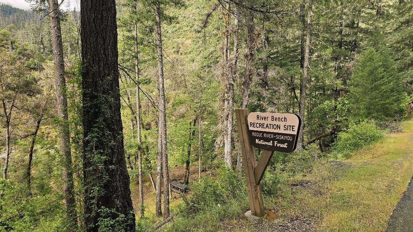
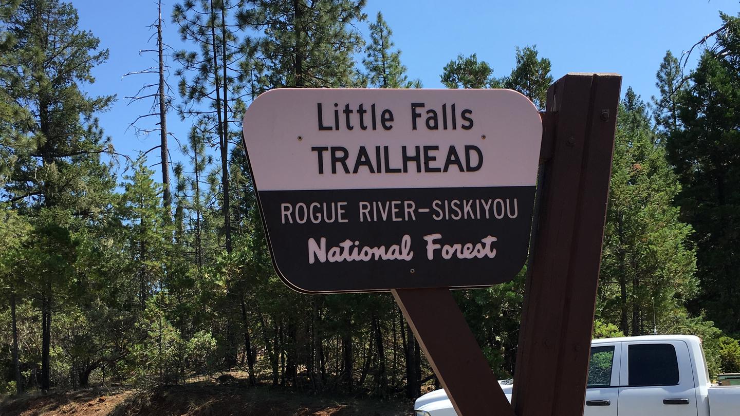
Other campgrounds nearby

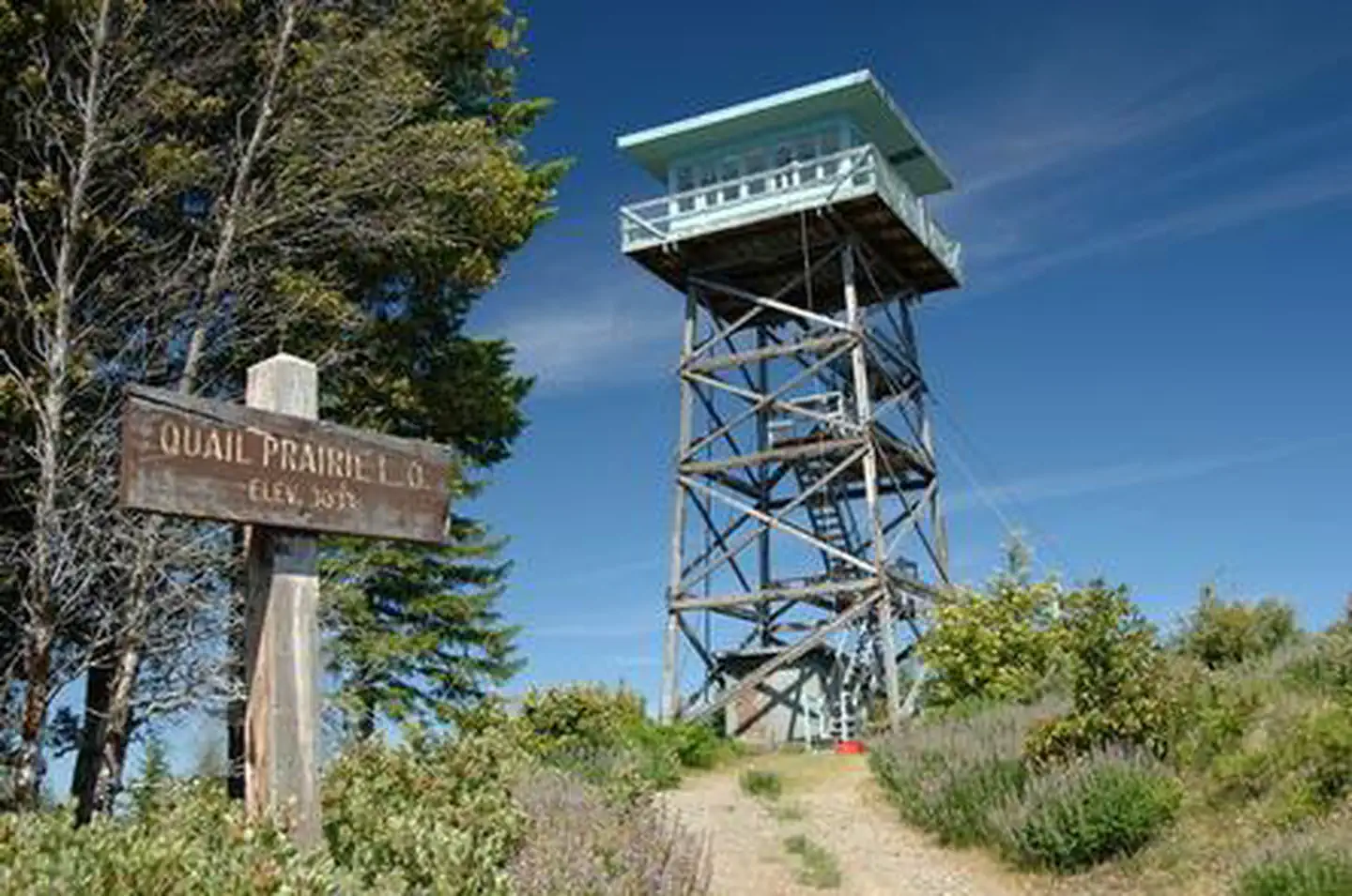
Cabin and lookout rentals nearby
On the National Register nearby
- Speed's Place on the RogueBuilding · Galice · 10.3 mi
- Store Gulch Guard Station No. 1020Building · Cave Junction · 10.5 mi
- Rand Ranger StationBuilding · Merlin · 12 mi
Natural features
A large meadow for wildlife viewing. Briggs Creek flows next to the Campground.
Recreation
Hiking, mountain bike riding, splashing in the creek and wildlife viewing all draw campers to the area.
Guidebooks for Oregon
We earn a small commission if you buy through these links. It does not change what we list.

Titles come from Open Library's catalog, matched by subject heading or by title.
Reference
Questions people ask
Do I need a reservation at Sam Brown Campground?
Sites at Sam Brown Campground are reservable on Recreation.gov. First come, first served Any walk-up sites are listed on the booking page.
Source: Recreation.gov
How much does it cost to camp at Sam Brown Campground?
Overnight Camping: $10 per site per night; Additional Vehicle Fee: $5 per vehicle per day. NOTE: 50% discount for Interagency Senior and Access Pass holders on a single campsite. This discount does not apply to extra vehicle fees.
Source: Recreation.gov
How many sites does Sam Brown Campground have?
26 sites, including 25 standard sites without power.
Source: Recreation.gov
Can I bring an RV to Sam Brown Campground?
Sam Brown Campground is listed for tents only.
Source: Recreation.gov
What if Sam Brown Campground is full?
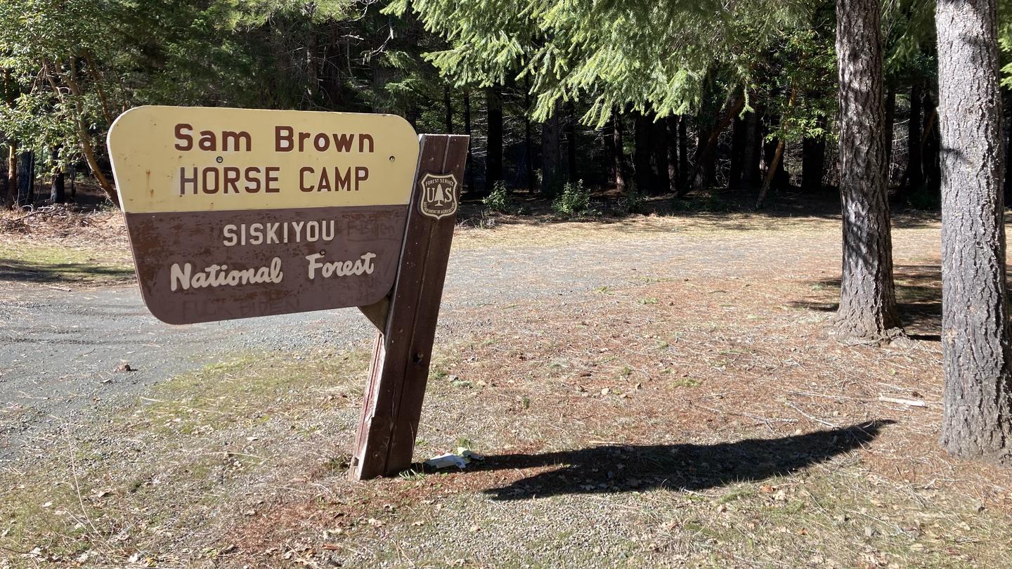
The nearest public campgrounds are Sam Brown Horse Campground (0.2 mi), Big Pine Campground (1.3 mi, first-come), and River Bench Campground (10.6 mi).
Source: Campgrounds nearby