Quail Prairie Lookout
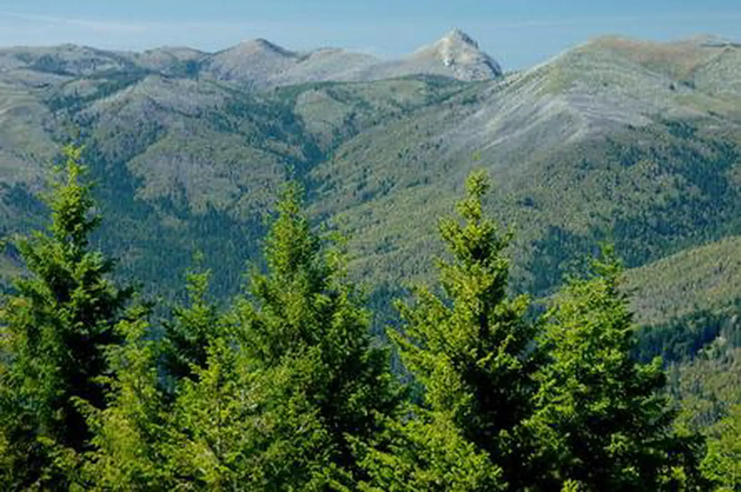
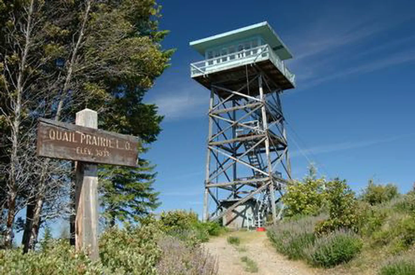
Quail Prairie Lookout offers guests a unique lodging experience in the Rogue-Siskiyou National Forest in western Oregon. On a clear day, visitors are treated to spectacular views of the Kalmiopsis Wilderness from the top of the 41-foot tower. The tower was completed in 1963 and served as one of the last lookouts built by the southwestern Oregon Forest Service until the mid 1990's, when it was converted for recreational purposes. Today campers can enjoy a unique lodging experience in the historic structure, which offers basic amenities and spectacular views of the surrounding area.
Check availability on Recreation.gov ↗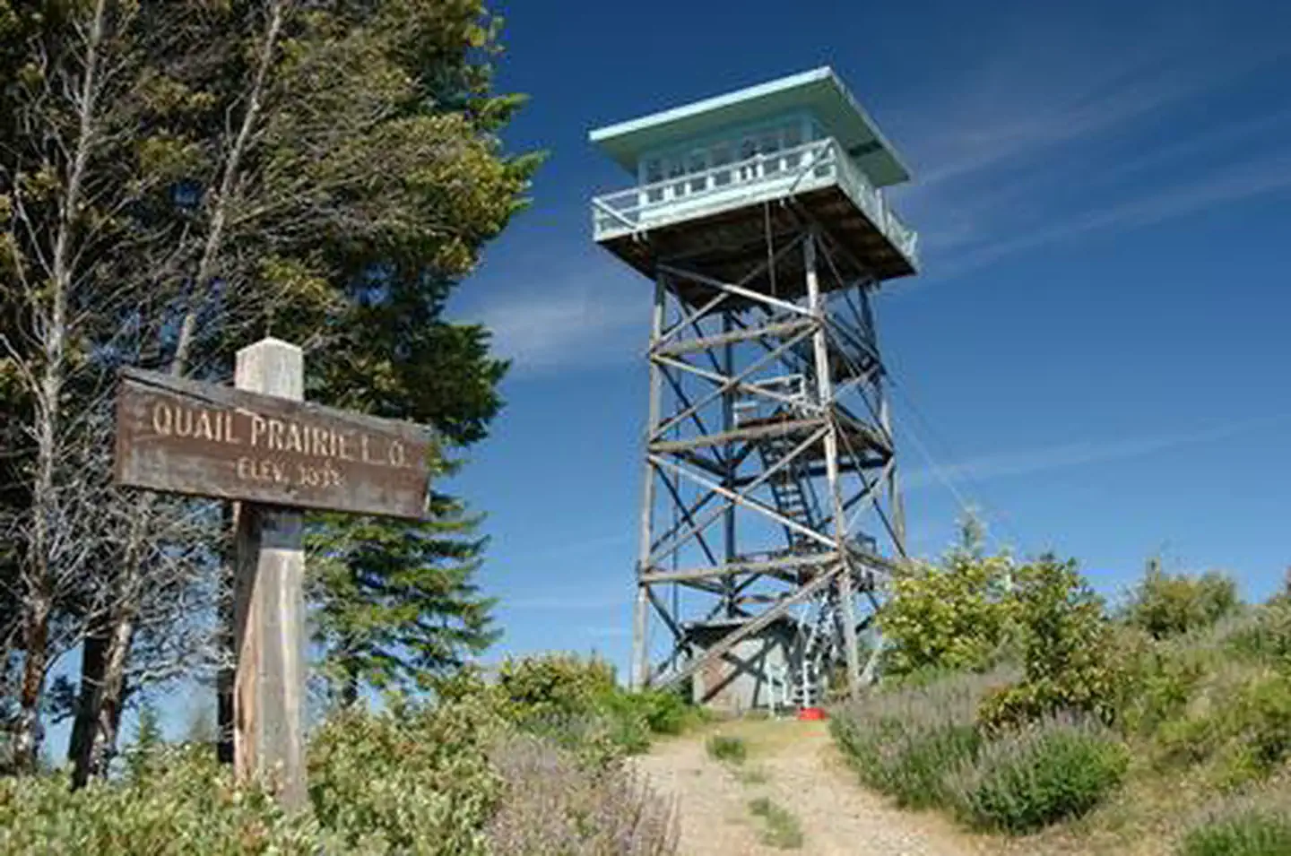
Site mix
| Cabins | 1 |
Site guide
1 site. Tap a filter to narrow the list; the map follows.
| Site | Surface | People / vehicles |
|---|---|---|
| C1 | Gravel | 4 / – |
Per-site records as published by the managing agency on Recreation.gov. Blank cells mean the agency listed nothing for that site. Check-in 1:00 PM, checkout 12:00 PM.
Amenities & rules
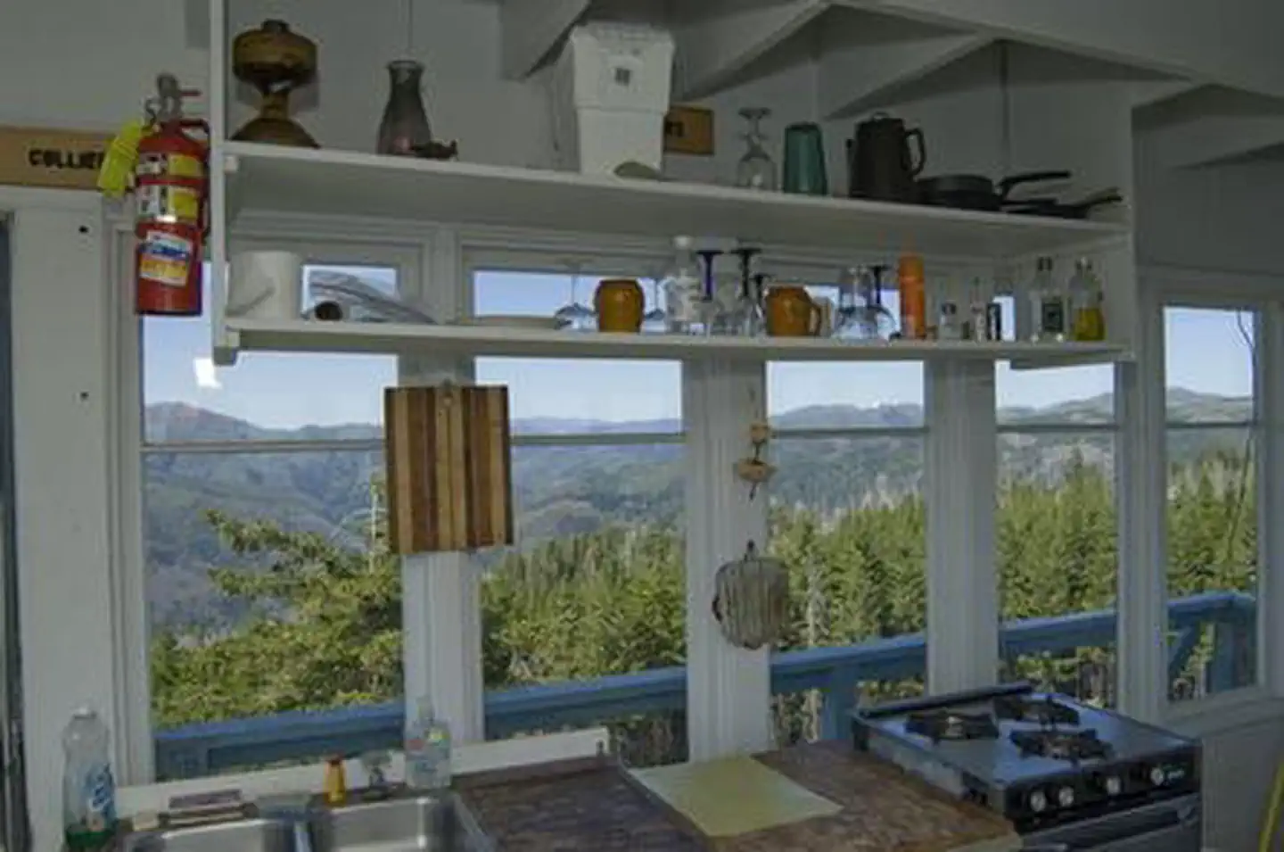
The one-room lookout rests on the top of a 41-foot timber tower, surrounded by a catwalk. It is furnished with a single bed, a table and two chairs, a stool, broom and fire extinguisher. It also features a wood stove, a propane stove for cooking and a propane refrigerator. A vault toilet is located near the tower. There is no water or electricity available at the site. Guests must bring water for drinking, cooking and washing. In addition, visitors will need to supply a light source, sleeping bags, sleeping pads, cooking gear, towels, dish soap, matches, a first aid kit, toilet paper and garbage bags. Firewood is provided.
Individual sites vary. Confirm on Recreation.gov or with the managing office.
Weather by month
Getting there
From Brookings and U.S. Highway 101, drive east on North Bank Chetco River Road (County Road 784). This becomes Forest Service Road 1376 in approximately 8 miles. Turn left after crossing the South Fork Bridge (16 miles from Brookings). Turn right on Forest Service Road 1917, approximately 1 mile after the bridge.
| Nearest town | Brookings, Oregon |
| Coordinates | 42.2367° N, 124.0450° W · Directions ↗ |
Supplies & services
| Dump station | Dump station ↗ | 17.5 mi |
| Outdoor gear | Rogue Outdoor Store ↗ | 22.8 mi |
Locations © OpenStreetMap contributors. Call ahead; hours change seasonally.
Explore
Worth a stop
- 4.5 mi
- 10.9 miRedwood Nature Trailhead ↗Trailhead
Trails nearby
- 0.5 miUpper Chetco ↗19.3 mi trail · hiking, horse
- 2.5 miBronson Way0.4 mi trail · hiking, horse, bike
- 2.8 miBoulder Tie0.3 mi trail · hiking, horse
- 3.1 miMislatnah2.9 mi trail · hiking, horse, bike
- 3.5 miTincup ↗18.7 mi trail · hiking, horse, bike
- 3.9 miJohnson Butte ↗6.1 mi trail · hiking, horse
Trailheads within three miles
- 0.5 miUpper Chetco Trailhead ↗Rogue River-Siskiyou National Forest
Trail and trailhead records are the Forest Service's. Distances are straight-line to the nearer trail end. Trail conditions are not tracked here.
Public land it sits in
This campground sits inside Kalmiopsis Wilderness, which overlaps Rogue River-Siskiyou National Forests.
- inKalmiopsis Wilderness ↗Wilderness · Forest Service · 180,103 acres
- inRogue River-Siskiyou National Forests ↗National Forest · Forest Service · 1,852,705 acres
Each unit is published as a centre point and an acreage rather than a boundary, so this section stands it in for a circle of the same area. Whether a campground is inside, and how far it is from one it is outside, are both approximate.
Other campgrounds nearby


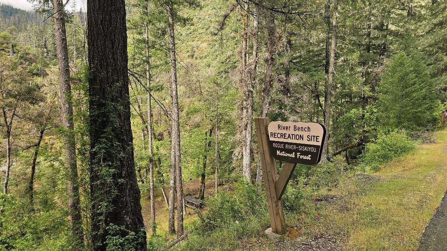
Cabin and lookout rentals nearby
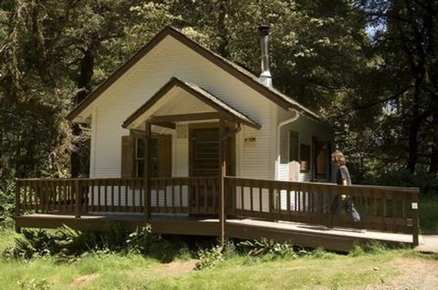
On the National Register nearby
- Wheeler Ridge Japanese Bombing SiteSite · Brookings · 11.5 mi
Natural features
The lookout affords panoramic views of the Kalmiopsis Wilderness and the Chetco River drainage. The Kalmiopsis Wilderness is an area of great geological and botanical interest. Many of the rocks were formerly parts of the oceanic crust, while diverse plant life provides evidence of adaptation to the area's harsh soils. The Kalmiopsis leachian, a shrub discovered in the Gold Basin area in 1930, is a relic of the pre-ice age. The Kalmiopsis Wilderness is named after this unique endemic plant. Diverse landscapes provide habitat for a wide-range of wildlife, from spotted owls and black-tail deer to salamanders and salmon. These species, along with many others, depend on surrounding undeveloped wilderness, undisturbed wetlands, clean streams, and diverse forests to live.
Recreation
The nearby Upper Chetco Trail is the main east/west route through the Kalmiopsis Wilderness. It offers access to the Chetco River and two main tributaries. Heavy vegetation provides shade but eliminates most views, and at least three significant long and steep sections provide a challenging backpacking experience. Anglers will enjoy the remote location and scenic backdrop of the nearby Chetco River, providing angling opportunities for trout, steelhead, and salmon in season. The Chetco starts in steep, deeply dissected, sparsely vegetated, mountainous terrain within the Kalmiopsis Wilderness. At night the lookout is an ideal setting for stargazing, as constellations and planets put on a dazzling display.
Guidebooks for Oregon
We earn a small commission if you buy through these links. It does not change what we list.

Titles come from Open Library's catalog, matched by subject heading or by title.
Reference
Questions people ask
Do I need a reservation at Quail Prairie Lookout?
Sites at Quail Prairie Lookout are reservable on Recreation.gov. Any walk-up sites are listed on the booking page.
Source: Recreation.gov
What time is check-in at Quail Prairie Lookout?
Check-in 1:00 PM, checkout 12:00 PM.
Source: Recreation.gov
How many sites does Quail Prairie Lookout have?
1 site, including 1 cabin.
Source: Recreation.gov
What is there to do at Quail Prairie Lookout?
The nearby Upper Chetco Trail is the main east/west route through the Kalmiopsis Wilderness. The Recreation section on this page has the rest.
Source: Recreation
What is the nearest town to Quail Prairie Lookout?
Brookings, Oregon.
Source: Getting there
What if Quail Prairie Lookout is full?
The nearest public campgrounds are South Fork (5.6 mi), Nook Bar (8.4 mi), and Miller Bar (9.5 mi).
Source: Campgrounds nearby