Packers Cabin
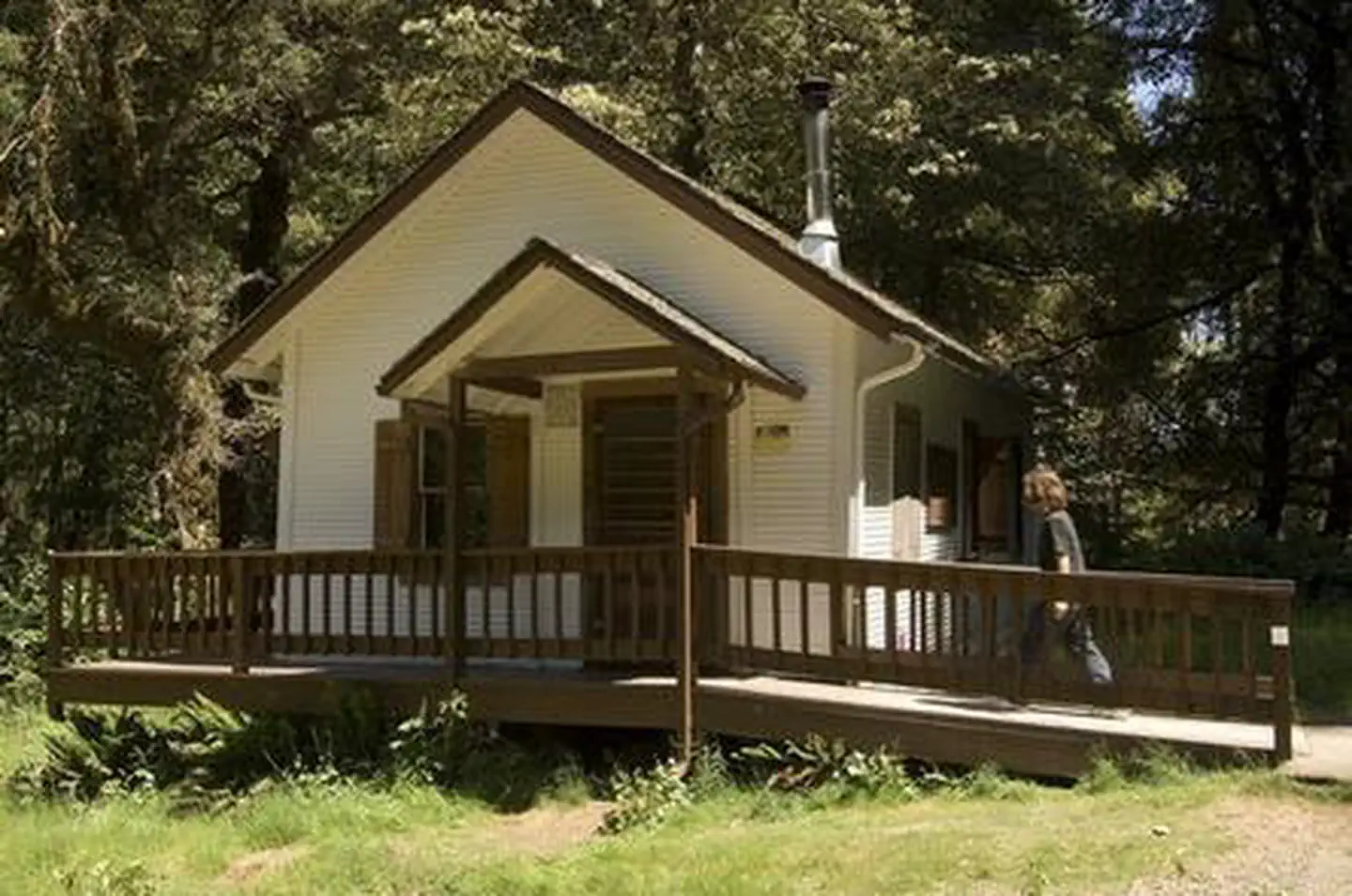
Packers Cabin was originally built during the 1930s and served as the headquarters for the Forest Service packer who supplied lookouts and field crews by horse or mule pack trains. Today, visitors no longer need to hitch up a team of mules and trek for days to enjoy staying in the quiet, remote cabin within the Rogue River-Siskiyou National Forest. The accessible cabin offers most items needed for a comfortable lodging experience, though guests will need to bring some of their own amenities to ensure a safe and comfortable stay.
Check availability on Recreation.gov ↗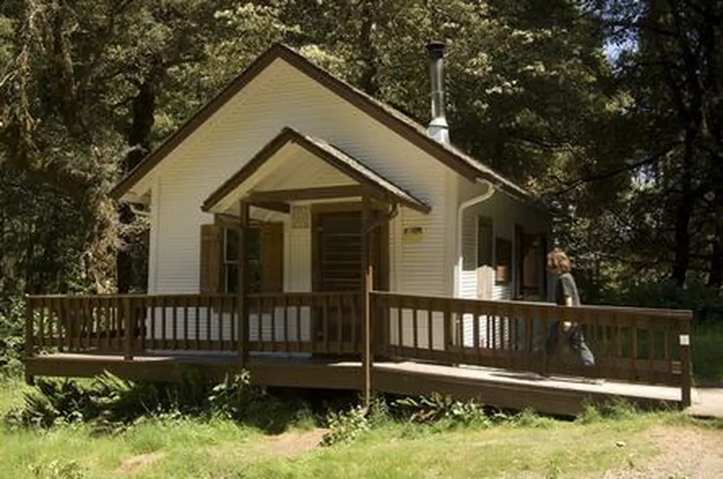
Site mix
| Cabins | 1 |
Site guide
1 site. Tap a filter to narrow the list; the map follows.
| Site | Surface | Shade | People / vehicles | Fires | Accessible |
|---|---|---|---|---|---|
| C1 | Gravel | Partial | 10 / – | Yes | Yes |
Per-site records as published by the managing agency on Recreation.gov. Blank cells mean the agency listed nothing for that site. Check-in 1:00 PM, checkout 12:00 PM.
The site record lists 10 people. The campground description says up to 12 people.
Amenities & rules
| Pets | Allowed |
| Accessibility | Site C1 is listed accessible |
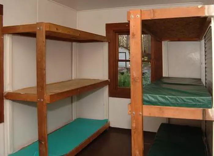
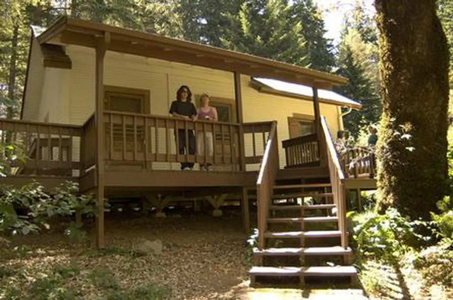
Packer's Cabin is a facility that meets accessibility standards and is equipped with ramps, decks, wide doorways and door handles to make the cabin as barrier-free as possible for anyone wishing to take a step back in history and live the life of a forest ranger. The cabin accommodates up to 12 people comfortably and is furnished with one double bunk and ten single bunks with mattresses. There is a table and chairs, a work surface for food preparation, and a wood-burning stove. Picnic tables and a campfire ring are located near the cabin, as well as an accessible vault toilet. There is no water on site; visitors must bring a sufficient supply for drinking, cooking and washing. Guests must also provide their own sleeping bags, sleeping pads, a light source, towels, dish soap, matches, cooking gear, first aid kit, toilet paper and garbage bags. Tent space is available near the cabin.
Individual sites vary. Confirm on Recreation.gov or with the managing office.
Weather by month
Getting there
From Portland take 1-5S to US 199 South to Brookings. From Brookings, Oregon, take U.S. Highway 101 and turn onto County Road 784 (North Bank Chetco River Road). This becomes Forest Road 1376. Follow this Forest Road 1376 to the junction with Forest Road 1917.
| Nearest town | Gold Beach, Oregon |
| Coordinates | 42.2450° N, 124.0840° W · Directions ↗ |
Good to know
- A natural spring is located nearby, but the water is not recommended for consumption.
Supplies & services
| Dump station | Dump station ↗ | 16.8 mi |
| Outdoor gear | Rogue Outdoor Store ↗ | 20.9 mi |
Locations © OpenStreetMap contributors. Call ahead; hours change seasonally.
Explore
Trails nearby
- 2.2 miMislatnah2.9 mi trail · hiking, horse, bike
- 2.2 miUpper Chetco ↗19.3 mi trail · hiking, horse
- 2.2 miTincup ↗18.7 mi trail · hiking, horse, bike
- 2.3 miBronson Way0.4 mi trail · hiking, horse, bike
- 2.9 miSnow Camp ↗5.3 mi trail · hiking, horse, bike
- 3.1 miBoulder Tie0.3 mi trail · hiking, horse
Trailheads within three miles
- 2.2 miTincup Trailhead ↗Rogue River-Siskiyou National Forest
- 2.2 miUpper Chetco Trailhead ↗Rogue River-Siskiyou National Forest
Trail and trailhead records are the Forest Service's. Distances are straight-line to the nearer trail end. Trail conditions are not tracked here.
Public land it sits in
This campground sits inside Kalmiopsis Wilderness, which overlaps Rogue River-Siskiyou National Forests.
- inKalmiopsis Wilderness ↗Wilderness · Forest Service · 180,103 acres
- inRogue River-Siskiyou National Forests ↗National Forest · Forest Service · 1,852,705 acres
Each unit is published as a centre point and an acreage rather than a boundary, so this section stands it in for a circle of the same area. Whether a campground is inside, and how far it is from one it is outside, are both approximate.
Other campgrounds nearby


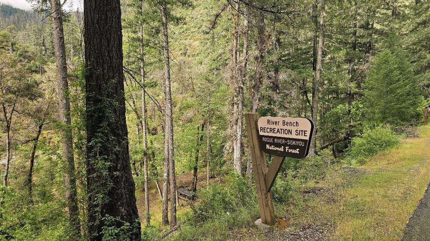
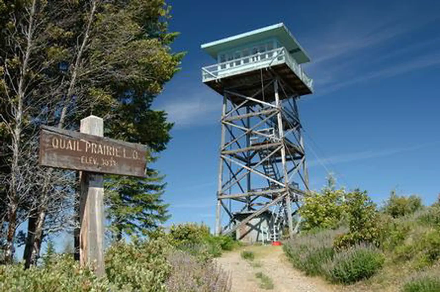
Cabin and lookout rentals nearby
On the National Register nearby
- Wheeler Ridge Japanese Bombing SiteSite · Brookings · 11.6 mi
Natural features
The landscapes comprising the Rogue River-Siskiyou National Forest has led to the designation of over 340,000 acres of the Forest as wilderness, and over 200 miles of streams as National Wild and Scenic Rivers. The forest itself is composed of two distinct geological provinces - the Cascade Range and the Siskiyou Mountains. The Cascade Range is dominated by snow-capped volcanic peaks such as the 9,495 foot Mt. McLoughlin, located within the Sky Lakes Wilderness. The Siskiyou area embodies the most complex and treasured plant communities in the Pacific Northwest. Wild rivers, biological diversity, remarkable fisheries, and complex watersheds define the Siskiyous. Packer's Cabin, when built, was adjacent to a large meadow. The trees started encroaching on the meadow and over time, the cabin became nestled in a grove of large fir trees. The Forest Service is now in the 2nd stage of restoring the original meadow habitat. Packer's Cabin now has lots of sun. There will be meadow enhancement information available at the cabin. The cabin lies in the area of the 2017 Chetco Bar Fire. Visitors will expeirence a landscape in transition.
Recreation
Hiking, wildlife viewing and fishing top the list of recreational opportunities in the area surrounding Packer's Cabin. Anglers will enjoy the remote location and scenic backdrop of the nearby Chetco River, providing angling opportunities for trout, steelhead, and salmon in season. The Chetco starts in steep, deeply dissected, sparsely vegetated, mountainous terrain within the Kalmiopsis Wilderness. Over its 55.5 mile length, the Chetco drops from 3,700 feet to sea-level as it empties into the Pacific Ocean between the towns of Brookings and Harbor, about 5 miles north of the California border. The Oregon Redwoods Trail provides a unique accessible hiking opportunity that travels through a grove of majestic old-growth redwood trees. Located along Peavine Ridge in the Winchuck River drainage, guests will learn about old-growth tree ecology, fire history, wildlife, and botany in the area. Redwood trees in this area represent the only coastal redwoods found in the Pacific Northwest Region, located at the limit of their northern range. The trail is an out/back design with a short loop at the far end, where a picnic stop is provided.
Guidebooks for Oregon
We earn a small commission if you buy through these links. It does not change what we list.

Titles come from Open Library's catalog, matched by subject heading or by title.
Reference
Questions people ask
Do I need a reservation at Packers Cabin?
Sites at Packers Cabin are reservable on Recreation.gov. Any walk-up sites are listed on the booking page.
Source: Recreation.gov
What time is check-in at Packers Cabin?
Check-in 1:00 PM, checkout 12:00 PM.
Source: Recreation.gov
How many sites does Packers Cabin have?
1 site, including 1 cabin.
Source: Recreation.gov
Are pets allowed at Packers Cabin?
Yes, pets are allowed at Packers Cabin. Leash rules apply.
Source: Recreation.gov
Are there accessible sites at Packers Cabin?
Site C1 is listed accessible on Recreation.gov. What that covers (a paved pad, an accessible table, a nearby accessible restroom) is on each site's booking page.
Source: Recreation.gov
Is there cell service at Packers Cabin?
FCC coverage maps show T-Mobile 4G LTE at the campground point. Terrain changes that from one site to the next.
Source: FCC Broadband Map
What is there to do at Packers Cabin?
Hiking, wildlife viewing and fishing top the list of recreational opportunities in the area surrounding Packer's Cabin. The Recreation section on this page has the rest.
Source: Recreation
What is the nearest town to Packers Cabin?
Gold Beach, Oregon. The Pacific Ocean is 17 miles from this site.
Source: Getting there
What if Packers Cabin is full?
The nearest public campgrounds are South Fork (4.7 mi), Nook Bar (7.7 mi), and Miller Bar (8.7 mi).
Source: Campgrounds nearby