Onion Mountain Lookout
Onion Mountain lookout sits atop a 12-foot tower at an elevation of 4,438 feet, offering guests expansive mountain views in southwestern Oregon. The original Onion Mountain Lookout was a raised platform, built on top of a tower in 1916. In 1924, a second lookout without a tower was built on site. The current structure was placed on site in 1952 and served as a fire lookout and Aircraft Warning Service observation station. The lookout offers a unique lodging experience in the Rouge River-Siskiyou National Forest, but visitors are required to bring a few of their own supplies to enjoy a safe and comfortable stay.
Amenities & rules
The cabin offers a 14 x 14 foot room with large windows on all sides. It is designed for one or two people, and is furnished with a bed with a mattress, a table and chairs. Amenities include a propane cooking stove, refrigerator, and lanterns. There is no propane heater. There is also no water on site, so visitors must bring sufficient supplies for drinking, cooking and washing. Guests must also provide their own sleeping bags, sleeping pads, towels, dish soap, matches, cooking gear, toilet paper and garbage bags. A primitive vault toilet is located near the lookout as well as space for four or five tents.
Individual sites vary. Confirm on Recreation.gov or with the managing office.
Weather by month
Getting there
Entry to the lookout is by a key. Please call the Wild Rivers Ranger District office at 541-471-6500, four days prior to arrival to arrange pick up and drop off of the key. The office is open Monday through Friday from 7:45 a.m. to 4:30 p.m. and is closed on weekends and holidays.
| Nearest town | Grants Pass, Oregon |
| Coordinates | 42.4544° N, 123.6164° W · Directions ↗ |
Fire nearby
- PrescribedRx Long Prairie
42 mi from the campground · 112 acres
Distance is to the reported incident point, not the fire edge. Call the managing office before you drive.
Supplies & services
| Dump station | Dump station ↗ | 24.6 mi |
| Outdoor gear | Sawyer Station Paddles and Oars ↗ | 29 mi |
| RV sales & service | Blue Dog RV of Oregon ↗ | 39.3 mi |
Locations © OpenStreetMap contributors. Call ahead; hours change seasonally.
Explore
Worth a stop
Visit Crater Lake National Park and learn about its unique natural and cultural history. Reaching depths of 1,943 feet, Crater Lake is the deepest lake in the United States and one of the 10 deepest lakes in the world. Oregon Caves National Monument is within a hour's drive.
- 4 miShan Creek Trailhead ↗Trailhead
Trails nearby
- 1 miShan Creek ↗5.8 mi trail · hiking, horse, bike
- 2.4 miMinnow Creek3.5 mi trail · hiking, horse, bike, motorcycle and 1 more
- 3.1 miBig Pine Creek Loop ↗0.6 mi trail · hiking
- 3.1 miBig Pine Loop a Access ↗0.2 mi trail · hiking
- 3.1 miBig Pine Loop ↗under 0.1 mi trail · hiking
- 3.1 miBig Pine Sunshine Loop ↗under 0.1 mi trail · hiking
Trailheads within three miles
- 2.3 miMinnow Creek Trailhead ↗Rogue River-Siskiyou National Forest
Trail and trailhead records are the Forest Service's. Distances are straight-line to the nearer trail end. Trail conditions are not tracked here.
Public land it sits in
This campground sits inside Rogue River-Siskiyou National Forests.
- inRogue River-Siskiyou National Forests ↗National Forest · Forest Service · 1,852,705 acres
- 11.4 miKalmiopsis Wilderness ↗Wilderness · Forest Service · 180,103 acres
Each unit is published as a centre point and an acreage rather than a boundary, so this section stands it in for a circle of the same area. Whether a campground is inside, and how far it is from one it is outside, are both approximate.
Other campgrounds nearby

On the National Register nearby
- Speed's Place on the RogueBuilding · Galice · 8.4 mi
- Rand Ranger StationBuilding · Merlin · 10.1 mi
- Store Gulch Guard Station No. 1020Building · Cave Junction · 12.8 mi
Natural features
On a clear day, Onion Mountain offers panoramic views of layered mountainous terrain and forest stretching out in all directions. Onion Mountain is named for the tiny wild onions that grow among the rocks at the summit. In early summer, the area is dotted with plumes of Bear Grass, bright yellow Snow Mountain Buckwheat and purple penstemon.
Recreation
Hiking, mountain biking, stargazing and wildlife viewing are popular among guests to this lookout. On trails throughout the area, hikers will enjoy mountain views, old-growth forest canopies and natural pools for swimming. The lookout is located near the Taylor Creek/Onion Way mountain loop, a trail popular among mountain biking enthusiasts. At night, the rustic cabin becomes an astronomer's heaven as the expansive night sky is littered with a dazzling display of stars and planets.
Guidebooks for Oregon
We earn a small commission if you buy through these links. It does not change what we list.

Titles come from Open Library's catalog, matched by subject heading or by title.
Reference
Questions people ask
Do I need a reservation at Onion Mountain Lookout?
Sites at Onion Mountain Lookout are reservable on Recreation.gov. Any walk-up sites are listed on the booking page.
Source: Recreation.gov
Is there cell service at Onion Mountain Lookout?
FCC coverage maps show T-Mobile 4G LTE at the campground point. Terrain changes that from one site to the next.
Source: FCC Broadband Map
What is there to do at Onion Mountain Lookout?
Hiking, mountain biking, stargazing and wildlife viewing are popular among guests to this lookout. The Recreation section on this page has the rest.
Source: Recreation
What is the nearest town to Onion Mountain Lookout?
Grants Pass, Oregon. Visit Crater Lake National Park and learn about its unique natural and cultural history.
Source: Getting there
What if Onion Mountain Lookout is full?
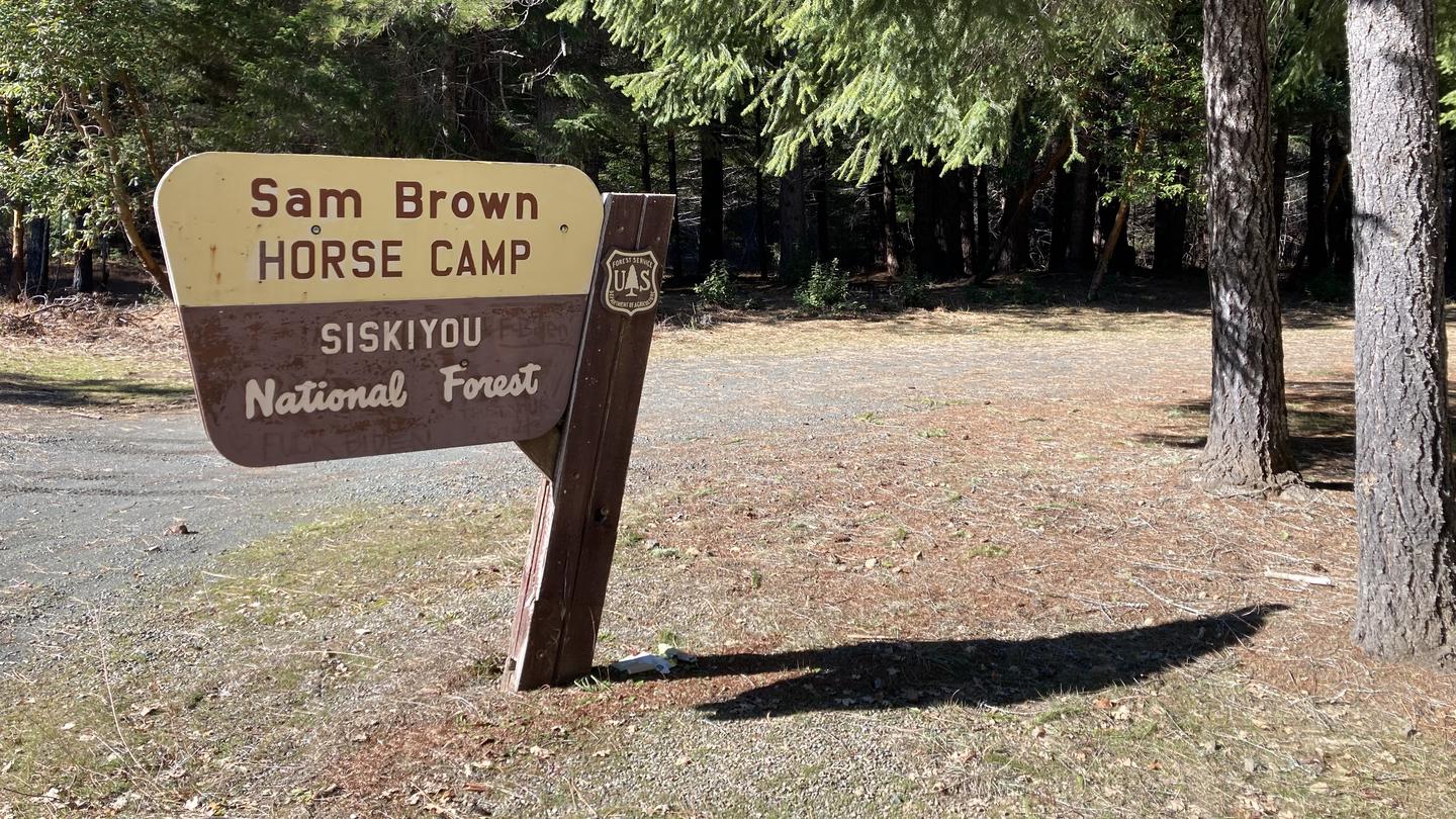
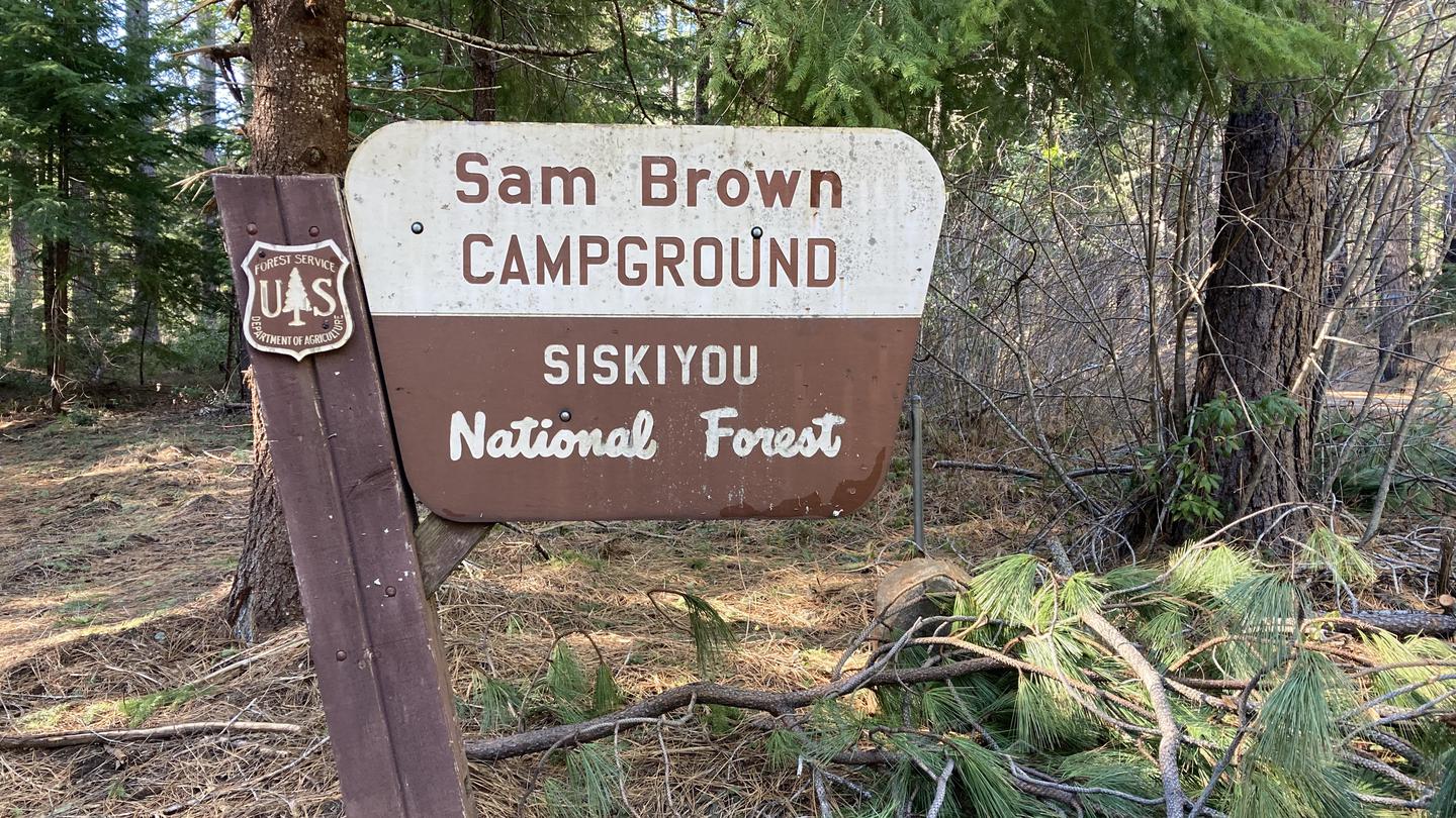
The nearest public campgrounds are Big Pine Campground (3.1 mi, first-come), Sam Brown Horse Campground (3.6 mi), and Sam Brown Campground (3.8 mi).
Source: Campgrounds nearby