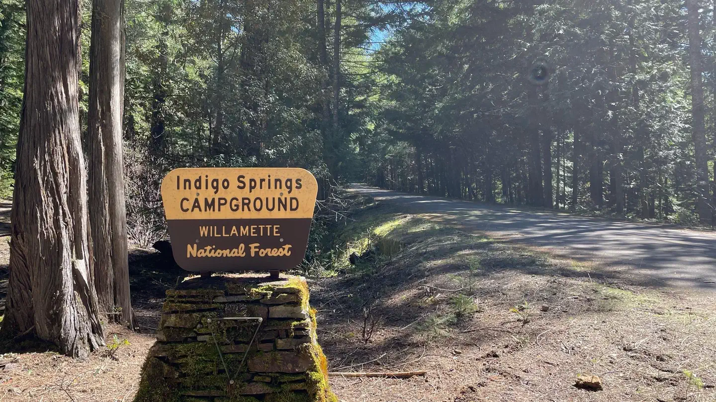
Indigo Springs
Sites are first-come, first-served. Recreation.gov lists this campground for paying on site, and you may be able to pay with the Scan and Pay feature of its app.
More like this: first-come in Oregon
Amenities & rules
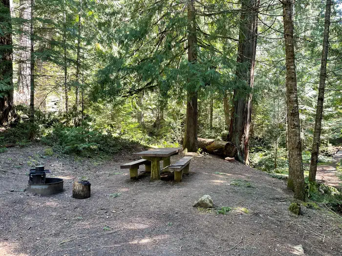
This campground has one communal bathroom and regular trash service. There is no potable water available.
Individual sites vary. Confirm on Recreation.gov or with the managing office.
Season & status
| Status | Closed for the season. Forest Service sites close for the season; check the official page for the reopening date. |
| Season | May to September |
| Forest | Willamette National Forest |
| Booking | No advance reservations. |
| Fees | Single Campsites - $12 per night. Extra Vehicles - $6 per vehicle, per night. |
| Rules | 14 day limit. Check-in time is 2:00 pm or later. Check-out time is 1:00 pm. No trailer facilities or trailer turnaround. Single campsite capacity: 6 persons, 2 vehicles, 2 tents. Quiet hours: 10 pm to 6 am. Use of chainsaws prohibited in campground. Dogs MUST be on leash at all times while in the campground |
Weather by month
Getting there
Exit I-5 heading east on Highway 58 towards Oakridge, OR. On the east side of Oakridge, just past mile marker 37, take a right onto Kitson Springs Road. In approximately half a mile, take a right onto Forest Service Road 21. Follow the 21 Road to mile post 29 and the entrance to the campground will be on the left.
| Coordinates | 43.4978° N, 122.2633° W · Directions ↗ |
Good to know
- Once on-site, you may be able to pay for your campsite(s) with cash or by scanning a QR code using the Recreation.gov mobile app, and the Scan and Pay feature.
Fire nearby
- PrescribedRx Cold Springs
13 mi from the campground · 158 acres
Distance is to the reported incident point, not the fire edge. Call the managing office before you drive.
Supplies & services
| RV sales & service | Oregon West RV ↗ | 47.6 mi |
Locations © OpenStreetMap contributors. Call ahead; hours change seasonally.
Explore
Worth a stop
Diamond Peak Wilderness, Indigo Springs, Chuckle Springs, Middle Fork River, Timpanogas Lake
- 11.8 miTandy Bay Picnic Area ↗Day use
- 12.4 miTrapper Creek Boat Launch ↗Boat launch
- 12.8 miVerdun Trailhead ↗Trailhead
- 12.9 mi
- 14.5 miCrescent Lake Boat Launch ↗Boat launch
- 14.8 miSimax Beach Picnic Area ↗Day use
Trails nearby
- 0.1 miIndigo Springs0.2 mi trail · hiking, bike
- 1.3 miChuckle Springs0.3 mi trail · hiking, horse, bike
- 2.5 miBear Mountain1.6 mi trail · hiking, horse
- 3.3 miCorrigan Lake1.2 mi trail · hiking, horse
- 3.5 miPioneer Gulch1.1 mi trail · hiking, horse
- 4.5 miRockpile2.8 mi trail · hiking, horse
Trailheads within three miles
- 2.5 miMiddle Fork Nat'l Recreation Trailhead: Road 2143 ↗Willamette National Forest
- 2.5 miBear Mountain Trailhead ↗Willamette National Forest
Trail and trailhead records are the Forest Service's. Distances are straight-line to the nearer trail end. Trail conditions are not tracked here.
Public land it sits in
Umpqua National Forest begins about 2.8 miles away, and it is the closest of these.
- 2.8 miUmpqua National Forest ↗National Forest · Forest Service · 1,035,837 acres
- 3.6 miDiamond Peak Wilderness ↗Wilderness · Forest Service · 52,496 acres
- 12.3 miBoulder Creek Wilderness ↗Wilderness · Forest Service · 19,918 acres
Each unit is published as a centre point and an acreage rather than a boundary, so this section stands it in for a circle of the same area. Whether a campground is inside, and how far it is from one it is outside, are both approximate.
Other campgrounds nearby
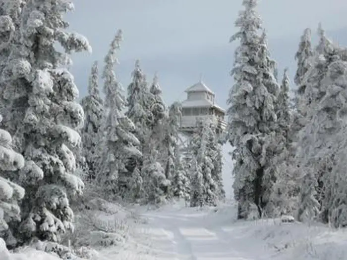
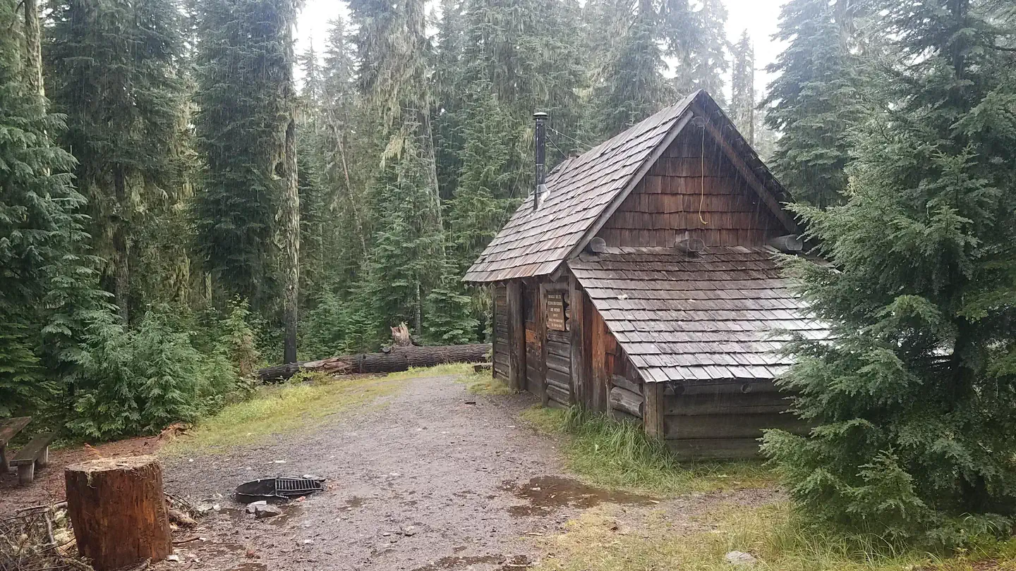
Cabin and lookout rentals nearby
Natural features
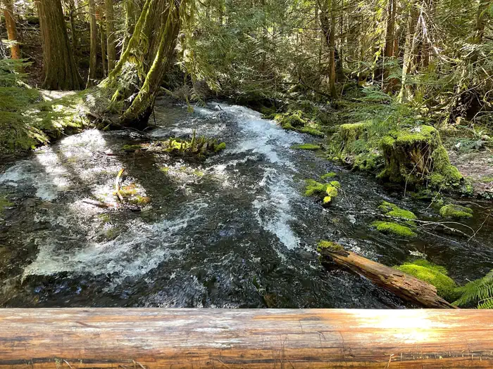
This small campground is located right alongside the beautiful Indigo Springs. Nearby old growth forests, as well as scenic views of Chuckle Springs, the Middle Fork River, and the Diamond Peak Wilderness make this a wonderful place to get into nature.
Recreation
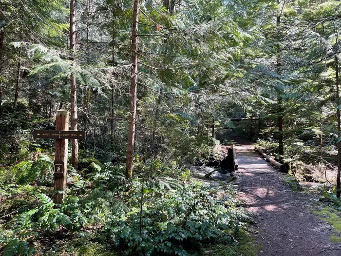
Hikers and mountain bikers can take advantage of the nearby Middle Fork National Recreation Trail, as well as the Indigo Springs Loop and Chuckly Springs Trail. The Diamond Peak wilderness is also located nearby with several hikes into undeveloped areas on the forest. Fishing in the Middle Fork is another great option, if you follow local regulations.
Guidebooks for Oregon
We earn a small commission if you buy through these links. It does not change what we list.

Titles come from Open Library's catalog, matched by subject heading or by title.
Reference
Questions people ask
Do I need a reservation at Indigo Springs?
No. Indigo Springs is first-come, first-served. No advance reservations. Sites are taken on arrival and paid at the fee station.
Source: Forest Service
How much does it cost to camp at Indigo Springs?
Single Campsites - $12 per night. Extra Vehicles - $6 per vehicle, per night.
Source: Forest Service
Is Indigo Springs open right now?
Closed for the season as of Oct 16, 2026. Season May to September.
Source: Forest Service status
How many sites does Indigo Springs have?
3 sites.
Source: Forest Service
What is there to do at Indigo Springs?
Hikers and mountain bikers can take advantage of the nearby Middle Fork National Recreation Trail, as well as the Indigo Springs Loop and Chuckly Springs Trail. The Recreation section on this page has the rest.
Source: Recreation
What if Indigo Springs is full?
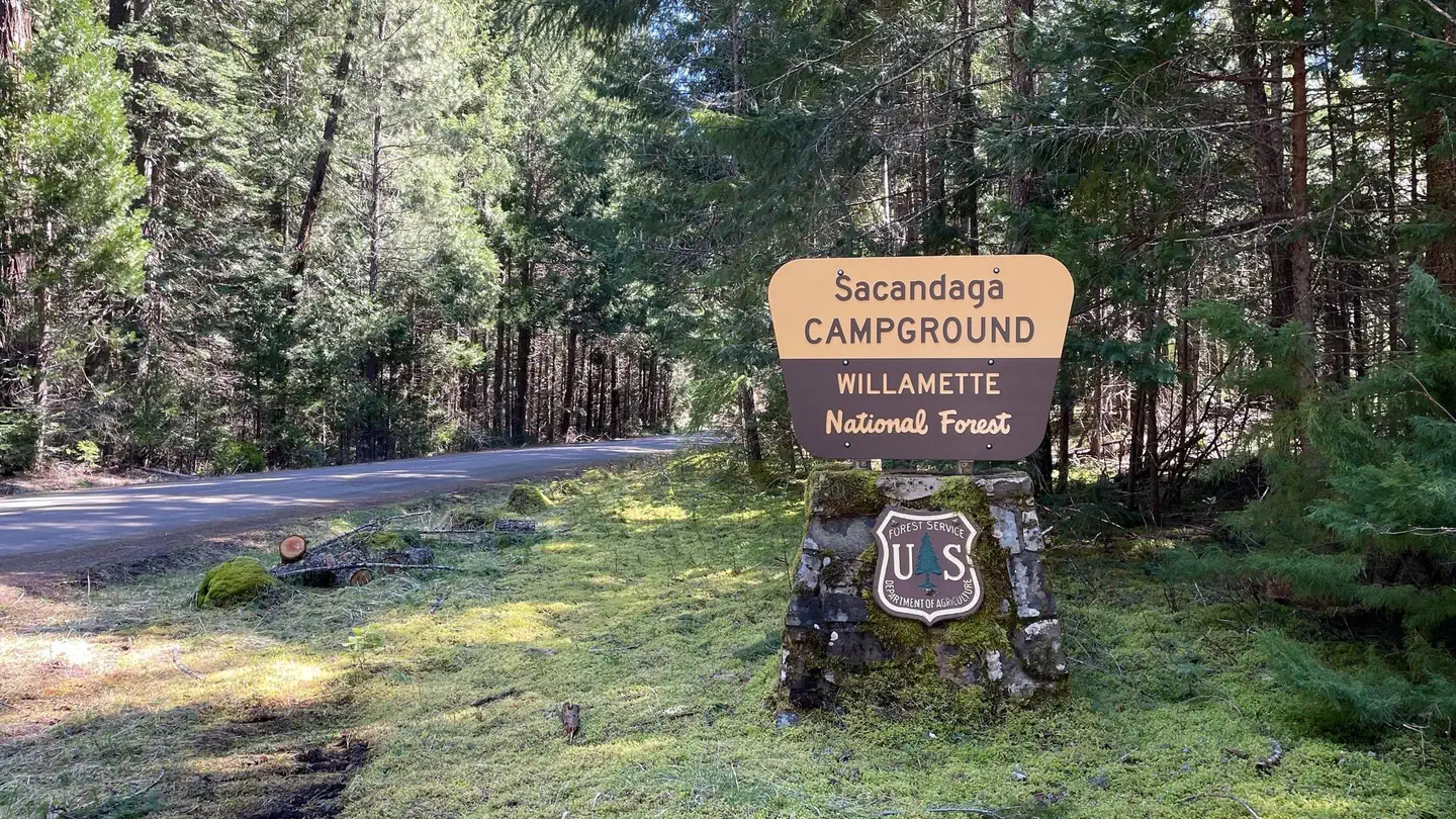
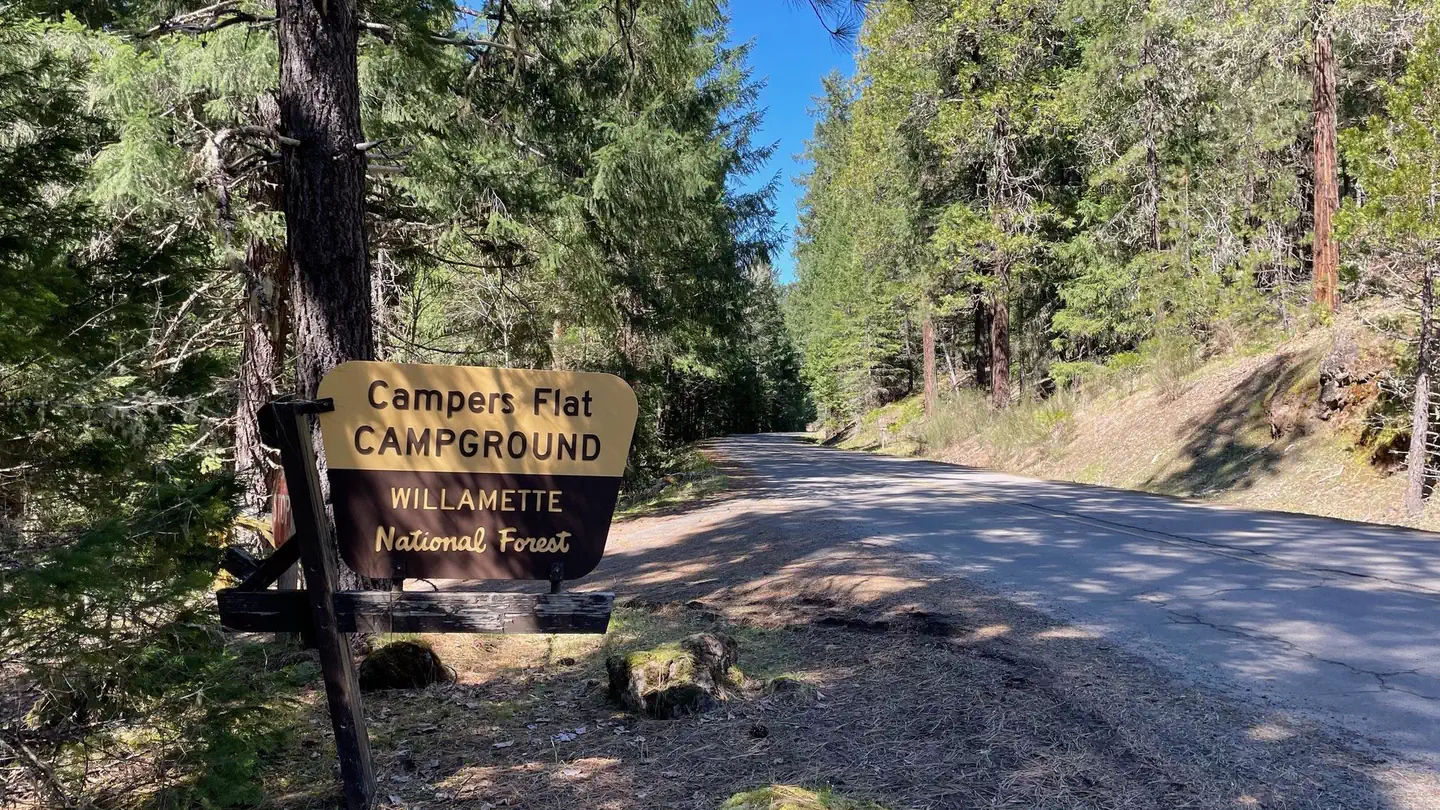
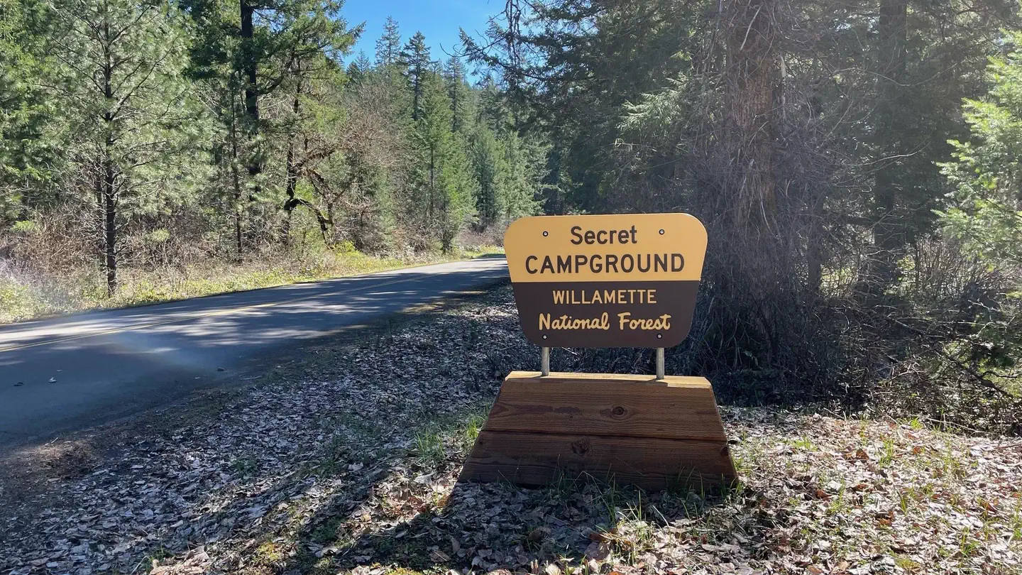
The nearest public campgrounds are Sacandaga (3.3 mi, partly first-come), Campers Flat (7.5 mi), and Secret (9 mi).
Source: Campgrounds nearby