Timpanogas
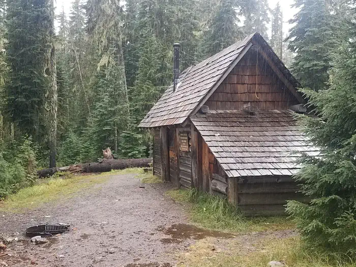
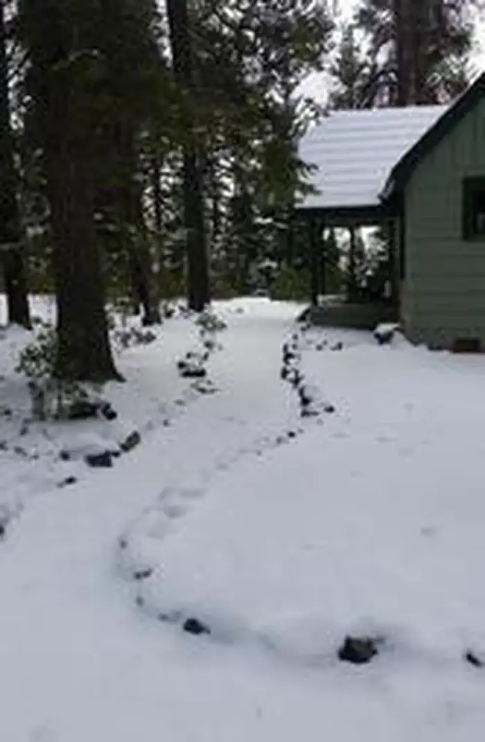
Timpanogas Shelter sits on shore of its namesake lake at an altitude of 5,300 feet in the Willamette National Forest within the Oregon Cascades Recreation Area. The cabin was patterned after the old Civilian Conservation Corps 3-sided shelter and was built in 1991 with the help of a University of Oregon outdoor school class and the Walker Rim Snowmobile Club. The cabin is typically open from late June through late October. It is accessible by car, but the last 7 miles of the road are rough and narrow.
Check availability on Recreation.gov ↗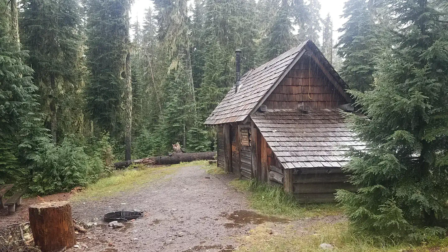
Site mix
| Cabins | 1 |
| Host/management | 2 |
Site guide
1 site. Tap a filter to narrow the list; the map follows.
| Site | People / vehicles |
|---|---|
| CABIN1 | 6 / 6 |
Per-site records as published by the managing agency on Recreation.gov. Blank cells mean the agency listed nothing for that site. Check-in 1:00 PM, checkout 12:00 PM.
Amenities & rules
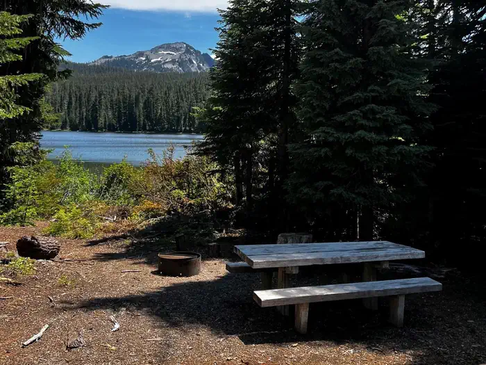
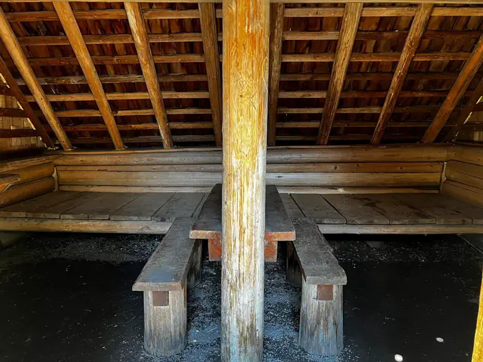
This rustic 15 x 18 shelter with a dirt floor is designed to accommodate 6-8 people and comes equipped with a sleeping loft, a table with benches and a wood stove for heat. A picnic table, campfire ring and pit toilet are located outside. Additional camping is available on-site for up to 20 people. Drinking water, firewood and electricity are not provided. The cabin does not have a cook stove or cooking supplies. Potable water is available from a hand pump at the nearby Timpanogas Campground until late September. Items such as bedding, lanterns or flashlights, matches, extra toilet paper, first aid supplies, trash bags, dish soap, towels and an ice chest are not available. Guests are expected to pack out their trash and clean the cabin before leaving.
Individual sites vary. Confirm on Recreation.gov or with the managing office.
Season & status
| Status | Closed for the season. Forest Service sites close for the season; check the official page for the reopening date. |
| Season | June to Late October, weather dependent |
| Forest | Willamette National Forest |
| Booking | No advance reservations. All sites are first come first serve. |
| Fees | Single Campsites - $14 per night. Extra Vehicles - $6 per vehicle, per night. Campsite must be occupied every night paid, and fees must be paid within 30 minutes of arrival. Download the Recreation.gov mobile app prior to your trip so you can pay the overnight fee onsite with Scan and Pay. |
| Rules | Camping is not allowed more than 14 days in a 60 day period. Check-in time: 2:00 pm or later. Check-out time: 1:00 pm. Use of chainsaws in the campground is prohibited. Dogs MUST be on leash at all times within the campground |
Weather by month
Getting there
From I-5, take Exit 188A onto Highway 58 and proceed just past MP 37 (east of Oakridge), turning right onto Kitson Springs Road. Proceed 0.5 mile to junction with Forest Service Road (FSR) 21, also signed as Diamond Drive. Turn right onto FSR 21 and continue approximately 32 miles, turning left onto paved FSR 2154.
| Nearest town | Westfir, Oregon |
| Coordinates | 43.4139° N, 122.1134° W · Directions ↗ |
Good to know
- Insect repellent is highly recommended.
Fire nearby
- PrescribedRx Cold Springs
11 mi from the campground · 158 acres
- PrescribedJunction Rx
49 mi from the campground
Distance is to the reported incident point, not the fire edge. Call the managing office before you drive.
Supplies & services
| Dump station | Mazama Campground Dump Station ↗ | 37.9 mi |
| RV sales & service | Oregon West RV ↗ | 57.1 mi |
Locations © OpenStreetMap contributors. Call ahead; hours change seasonally.
Explore
Worth a stop
Trails for hiking and mountain biking are located less than a mile from the shelter.
- 5.4 miTandy Bay Picnic Area ↗Day use
- 8.5 miLemolo Lake Trailhead ↗Trailhead
- 9.3 miCrescent Lake Boat Launch ↗Boat launch
- 9.4 miSimax Beach Picnic Area ↗Day use
- 12.2 miTrapper Creek Boat Launch ↗Boat launch
- 14.7 miMarilyn Lakes Trailhead ↗Trailhead
Trails nearby
- 0.1 miStart 'O Willamette1.1 mi trail · hiking, horse, bike, motorcycle and 2 more
- 0.3 miTimpanogas Lake0.9 mi trail · hiking, horse, bike
- 0.3 miIndigo Lake1.9 mi trail · hiking, horse, bike, motorcycle and 2 more
- 0.3 miJune Lake2.2 mi trail · hiking, horse, bike, motorcycle and 2 more
- 0.4 miMiddle Fork ↗27 mi trail · hiking, horse, bike · national_recreation_or_other
- 0.6 miJune-Indigo Tie0.5 mi trail · hiking, horse, bike, motorcycle and 2 more
Trailheads within three miles
- 0.6 miSawtooth Trailhead ↗Willamette National Forest
Trail and trailhead records are the Forest Service's. Distances are straight-line to the nearer trail end. Trail conditions are not tracked here.
Public land it sits in
Diamond Peak Wilderness begins about 3 miles away, and it is the closest of these.
- 3 miDiamond Peak Wilderness ↗Wilderness · Forest Service · 52,496 acres
- 4.8 miUmpqua National Forest ↗National Forest · Forest Service · 1,035,837 acres
- 9.6 miMount Thielsen Wilderness ↗Wilderness · Forest Service · 55,127 acres
Each unit is published as a centre point and an acreage rather than a boundary, so this section stands it in for a circle of the same area. Whether a campground is inside, and how far it is from one it is outside, are both approximate.
Other campgrounds nearby
Cabin and lookout rentals nearby
Natural features
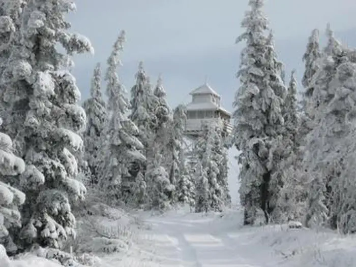
The cabin is situated in a mountainous and heavily forested area where it is possible to see Diamond Peak, Sawtooth and Cowhorn Mountains. Timpanogas Lake is just one of several alpine lakes in the area. Willamette National Forest offers prime habitat for such species as Roosevelt elk, black bear, northern bald eagles, mule deer and bobcats, among other wildlife.
Recreation
Anglers enjoy fishing for brook trout and cutthroat on upper and lower Timpanogas Lakes, even though the lakes are closed to motorcraft. Canoeing is also possible on the lakes. Those not inclined to fish can enjoy hiking or mountain biking on numerous trails in the Timpanogas area, especially in late August when huckleberries are ripe for picking. This includes the Timpanogas Lake Trail, which starts at the Timpanogas Campground. The Diamond Peak Trail Area, Pacific Crest Trail and Diamond Peak Wilderness are also nearby.
Guidebooks for Oregon
We earn a small commission if you buy through these links. It does not change what we list.

Titles come from Open Library's catalog, matched by subject heading or by title.
Reference
Questions people ask
Do I need a reservation at Timpanogas?
Sites at Timpanogas are reservable on Recreation.gov. No advance reservations. Any walk-up sites are listed on the booking page.
Source: Recreation.gov
How much does it cost to camp at Timpanogas?
Single Campsites - $14 per night. Extra Vehicles - $6 per vehicle, per night. Campsite must be occupied every night paid, and fees must be paid within 30 minutes of arrival.
Source: Recreation.gov
What time is check-in at Timpanogas?
Check-in 1:00 PM, checkout 12:00 PM.
Source: Recreation.gov
Is Timpanogas open right now?
Closed for the season as of Oct 16, 2026. Season June to Late October, weather dependent.
Source: Forest Service status
How many sites does Timpanogas have?
3 sites, including 1 cabin.
Source: Recreation.gov
What is there to do at Timpanogas?
Anglers enjoy fishing for brook trout and cutthroat on upper and lower Timpanogas Lakes, even though the lakes are closed to motorcraft. The Recreation section on this page has the rest.
Source: Recreation
What is the nearest town to Timpanogas?
Westfir, Oregon. Trails for hiking and mountain biking are located less than a mile from the shelter.
Source: Getting there
What if Timpanogas is full?
The nearest public campgrounds are Windy Group Camp (5.3 mi), Whitefish Horse Camp (5.4 mi), and Spring (5.9 mi, partly first-come).
Source: Campgrounds nearby