Warner Mountain Lookout
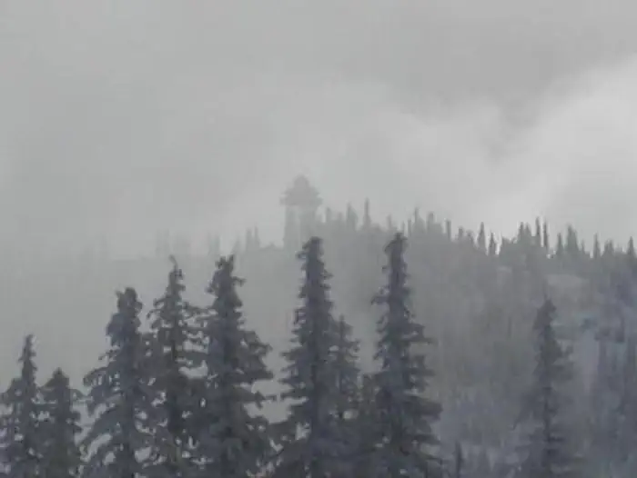
Warner Mountain Lookout is the winter wonderland destination for avid winter sports enthusiasts looking for a challenge. This replica of an old cupola-style lookout sits on a high vantage point of Warner Ridge at an altitude of 5,300 feet in the Willamette National Forest approximately 75 miles southeast of Eugene, Oregon. The lookout can only be accessed by skis, snowmobiles or snowshoes, a distance of 2-10 miles. Conditions on the mountain change rapidly. You need to be evaluating conditions and weather throughout your stay. Sudden storms and high winds may make skiing and driving conditions difficult.
Check availability on Recreation.gov ↗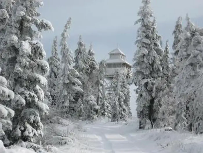
Site mix
| Fire lookouts | 1 |
Site guide
1 site. Tap a filter to narrow the list; the map follows.
| Site | Shade | People / vehicles | Pets |
|---|---|---|---|
| 001 | None | 4 / 1 | No |
Per-site records as published by the managing agency on Recreation.gov. Blank cells mean the agency listed nothing for that site. Check-in 1:00 PM, checkout 12:00 PM.
Amenities & rules
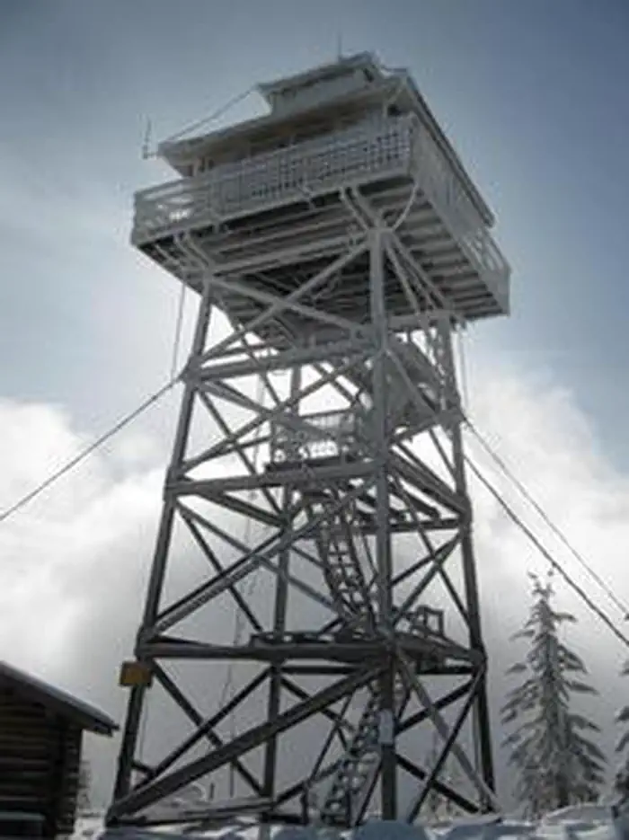
The 14x14-ft. cabin sits atop a 40-foot tower and is surrounded by a catwalk. The cabin accommodates 4 people and is furnished with one double bed that comfortably sleeps two, a table and chairs, propane stoves for heating and cooking, cookware, dishes, and a broom and dust pan. Propane is provided. Cell service may be available from the tower depending on your service provider. There is a vault toilet nearby. No water or electricity is provided. Guests typically melt snow for their supply of water for drinking, cooking and washing. A large pot is provided for this purpose. Items such as bedding, extra mattresses, flashlights, matches, extra toilet paper, first aid supplies, trash bags, dish soap, and towels are not reliably available after mid-season. Guests are expected to pack out their trash and clean the cabin before leaving. Absolutely no pets are allowed.
Individual sites vary. Confirm on Recreation.gov or with the managing office.
Weather by month
Getting there
From Eugene, Oregon, take I-5 south to the exit for Highway 58 East. Drive east 34 miles on Highway 58 through Oakridge. Continue on Highway 58 about 1 to 1.5 miles east of Oakridge. Turn right towards Hills Creek Reservoir on Kitson Springs Road and proceed 0.2 mile to Forest Service Road (FSR) 21.
| Nearest town | Westfir, Oregon |
| Coordinates | 43.5434° N, 122.3664° W · Directions ↗ |
Good to know
- This is a very remote location; the road to the lookout is not plowed or maintained for winter travel.
- Experience in cross-country skiing or snowshoe travel is highly recommended.
Fire nearby
- PrescribedRx Cold Springs
16 mi from the campground · 158 acres
Distance is to the reported incident point, not the fire edge. Call the managing office before you drive.
Supplies & services
| RV sales & service | Oregon West RV ↗ | 41.6 mi |
| Outdoor gear | Cabela's ↗ | 49.9 mi |
Locations © OpenStreetMap contributors. Call ahead; hours change seasonally.
Explore
Worth a stop
- 11 miC.T. Beach Picnic Area And Boat Launch ↗Boat launch
- 11.8 miBoulder Creek Trailhead ↗Trailhead
- 13.2 miVerdun Trailhead ↗Trailhead
Trails nearby
- 1.4 miYoung'S Rock ↗4.8 mi trail · hiking, horse, bike
- 1.6 miMoon Point1.1 mi trail · hiking, horse, bike
- 2.7 miYoungs Rock Tie0.1 mi trail · hiking, horse, bike
Trailheads within three miles
- 1.6 miMoon Point Trailhead ↗Willamette National Forest
Trail and trailhead records are the Forest Service's. Distances are straight-line to the nearer trail end. Trail conditions are not tracked here.
Public land it sits in
Umpqua National Forest begins about 2.6 miles away, and it is the closest of these.
- 2.6 miUmpqua National Forest ↗National Forest · Forest Service · 1,035,837 acres
- 8.5 miDiamond Peak Wilderness ↗Wilderness · Forest Service · 52,496 acres
- 10.4 miWillamette National Forest ↗National Forest · Forest Service · 1,801,292 acres
Each unit is published as a centre point and an acreage rather than a boundary, so this section stands it in for a circle of the same area. Whether a campground is inside, and how far it is from one it is outside, are both approximate.
Other campgrounds nearby
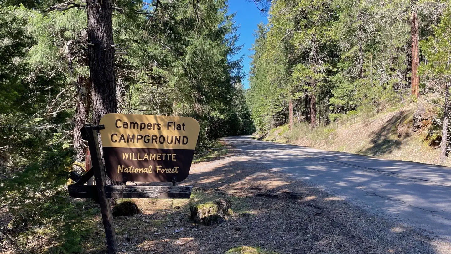
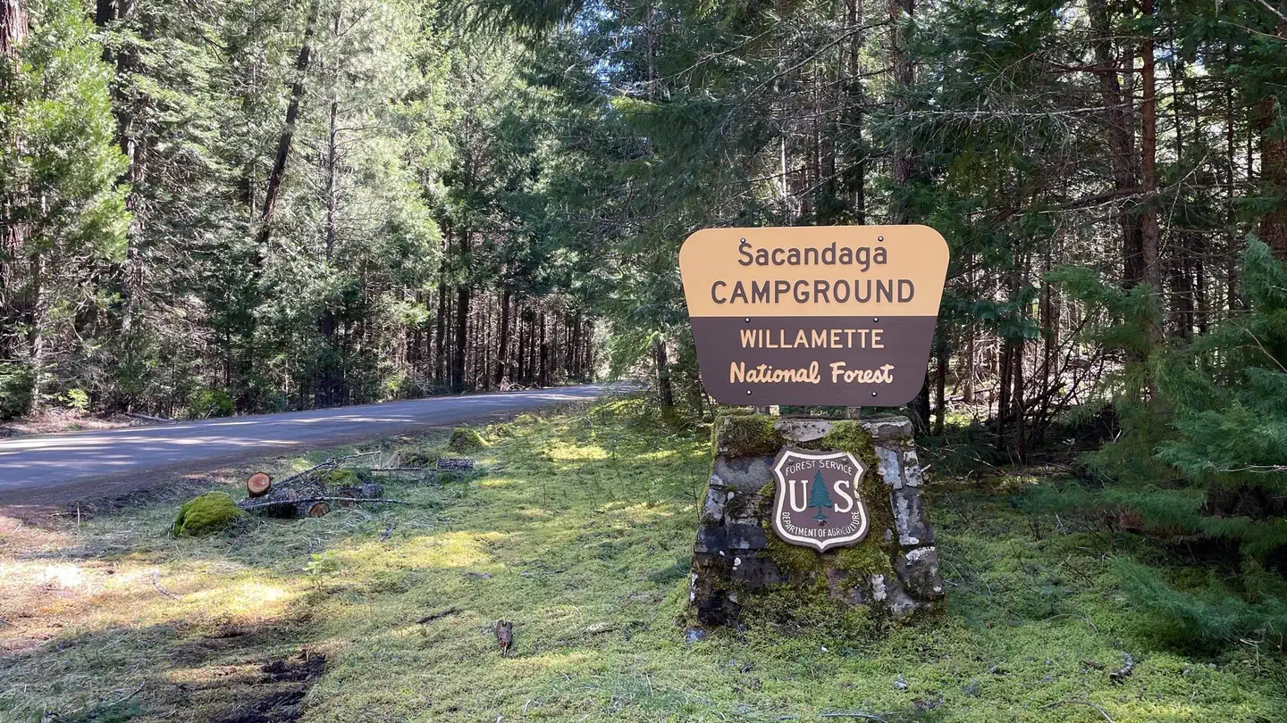
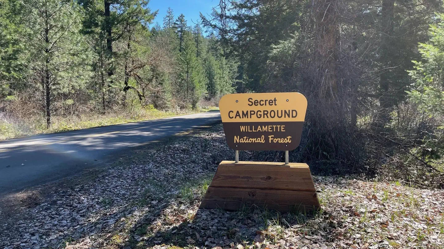
Cabin and lookout rentals nearby
On the National Register nearby
- Musick Guard StationBuilding · Cottage Grove · 14 mi
Natural features
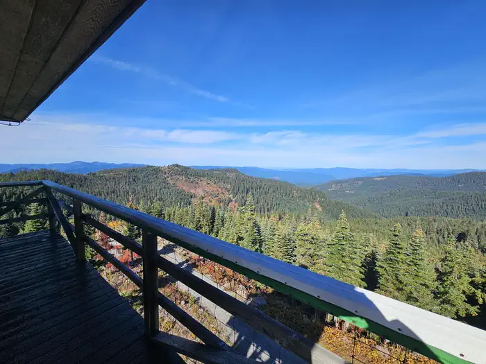
The lookout towers over forest cover of noble fir, mountain hemlock and silver fir at the crest of Warner Mountain. The lookout is close to Middle Fork Willamette River - Moon Point Trail Area, with a diverse habitat ranging from meadows to rocky cliffs and dotted with high-elevation conifers. Willamette National Forest offers prime habitat for such species as Roosevelt elk, black bears, bald eagles, black tail deer and bobcats, among other wildlife.
Recreation
Winter recreationists can enjoy cross-country skiing, snowshoeing and snowmobiling on the terrain in the nearby Middle Fork Willamette River - Moon Point Trail Area. Reaching the cabin on the 10-mile access road is part of the snow sport fun. Visitors might also catch a glimpse of any number of wildlife that lives in the area.
Guidebooks for Oregon
We earn a small commission if you buy through these links. It does not change what we list.

Titles come from Open Library's catalog, matched by subject heading or by title.
Reference
Questions people ask
Do I need a reservation at Warner Mountain Lookout?
Sites at Warner Mountain Lookout are reservable on Recreation.gov. Any walk-up sites are listed on the booking page.
Source: Recreation.gov
What time is check-in at Warner Mountain Lookout?
Check-in 1:00 PM, checkout 12:00 PM.
Source: Recreation.gov
How many sites does Warner Mountain Lookout have?
1 site, including 1 lookout.
Source: Recreation.gov
Is there cell service at Warner Mountain Lookout?
FCC coverage maps show AT&T 4G LTE at the campground point. Terrain changes that from one site to the next.
Source: FCC Broadband Map
What is there to do at Warner Mountain Lookout?
Winter recreationists can enjoy cross-country skiing, snowshoeing and snowmobiling on the terrain in the nearby Middle Fork Willamette River - Moon Point Trail Area. The Recreation section on this page has the rest.
Source: Recreation
What is the nearest town to Warner Mountain Lookout?
Westfir, Oregon.
Source: Getting there
What if Warner Mountain Lookout is full?
The nearest public campgrounds are Campers Flat (3.7 mi), Sacandaga (3.8 mi, partly first-come), and Secret (4.2 mi).
Source: Campgrounds nearby