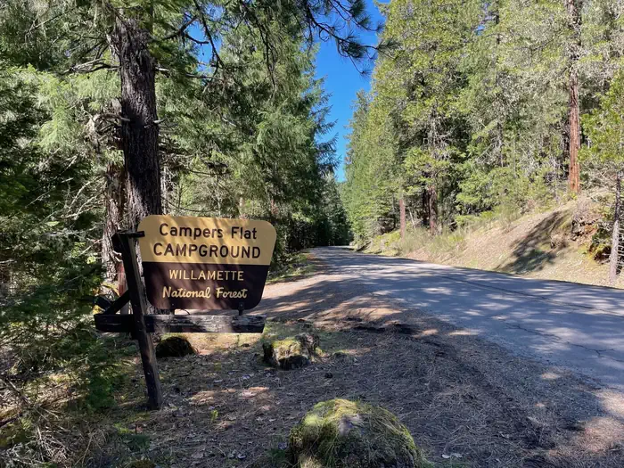
Campers Flat
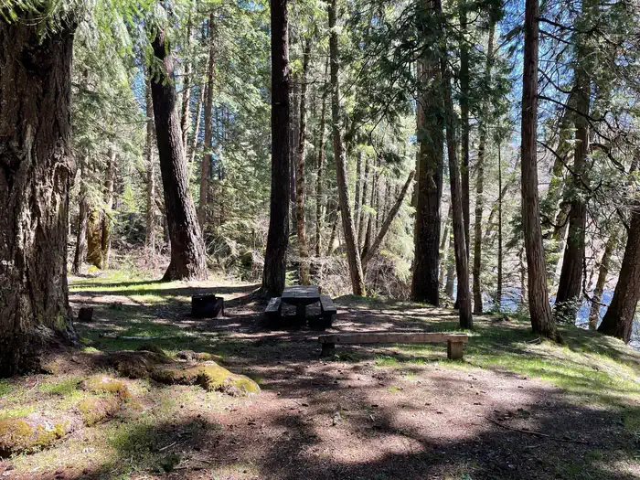
Campers Flat is on an open river terrace below Forest Road 21. This small campground is a group site situated in a beautiful setting under Douglas-firs and Ponderosa pines. The dynamic Middle Fork of the Willamette River almost eliminates the sound of traffic passing along the road. Popular activities are fishing and hiking, or mountain biking the Young's Rock Trail, which ends on the other side of Road 21 from the camp.
More like this: reservable in Oregon · pets allowed in Oregon · group sites in Oregon
Check availability on Recreation.gov ↗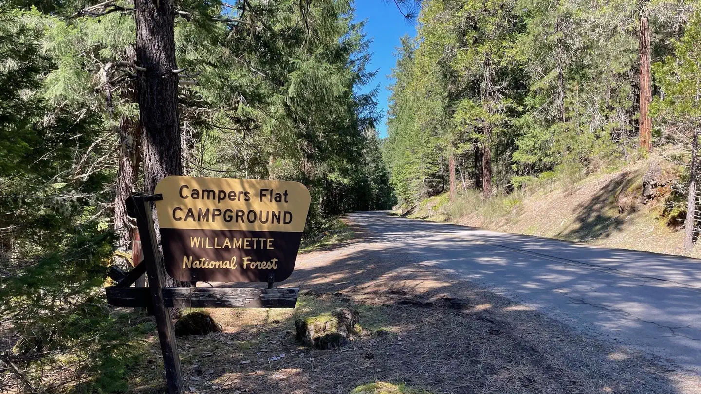

Site mix
| Group sites | 1 |
Site guide
Will my RV fit
The longest site here provides 25 feet of vehicle capacity. Most sites are shorter.
1 site. Tap a filter to narrow the list; the map follows.
| Site | Entry | Fits, ft | Surface | Shade | Water / sewer | Waterfront | People / vehicles | Fires | Rating |
|---|---|---|---|---|---|---|---|---|---|
| Campers Flat Group | Back-in | 25 | Gravel | Partial | No / – | Riverfront | 30 / 10 | Yes | Standard |
Per-site records as published by the managing agency on Recreation.gov. Blank cells mean the agency listed nothing for that site. Check-in 2:00 PM, checkout 11:00 AM.
Amenities & rules
| Hookups | None |
| Equipment | RVs & trailers, Tents |
| Pets | Allowed |
| Campfires | Allowed, subject to restrictions |
The campground has one small communal bathroom and regular trash services.
Individual sites vary. Confirm on Recreation.gov or with the managing office.
Season & status
| Status | Closed for the season. Forest Service sites close for the season; check the official page for the reopening date. |
| Season | May to October |
| Forest | Willamette National Forest |
| Booking | Reserve online at www.recreation.gov or phone 1.877.444.6777. |
| Fees | Group Campsite - $50 per night (6 people per site, 5 single sites). Campsite must be occupied every night paid, and fees must be paid within 30 minutes of arrival. |
| Rules | Group campsite capacity: 30 persons, 10 vehicles, 10 tents. Quiet hours: 10 pm to 6 am. Camping is not allowed more than 14 days in a 60 day period. Check-in time: 2:00 pm or later. Check-out time: 1:00 pm. Use of chainsaws in the campground is prohibited. Dogs MUST be on leash at all times within the campground |
Weather by month
Getting there
Exit I-5 heading east on Highway 58 towards Oakridge, OR. On the east side of Oakridge, just past mile marker 37, take a right onto Kitson Springs Road. In approximately half a mile, take a right onto Forest Service Road 21. Continue on the 21 Road to mile post 20 and the locked gate to the campground will be on the right.
| Coordinates | 43.5011° N, 122.4122° W · Directions ↗ |
Fire nearby
- PrescribedRx Cold Springs
14 mi from the campground · 158 acres
Distance is to the reported incident point, not the fire edge. Call the managing office before you drive.
Supplies & services
| RV sales & service | Oregon West RV ↗ | 41.8 mi |
Locations © OpenStreetMap contributors. Call ahead; hours change seasonally.
Explore
Video
Host Triple Slide Out Truck Camper and F-550 Flat Bed -- 5 Pros and Cons of Our Truck and
Worth a stop
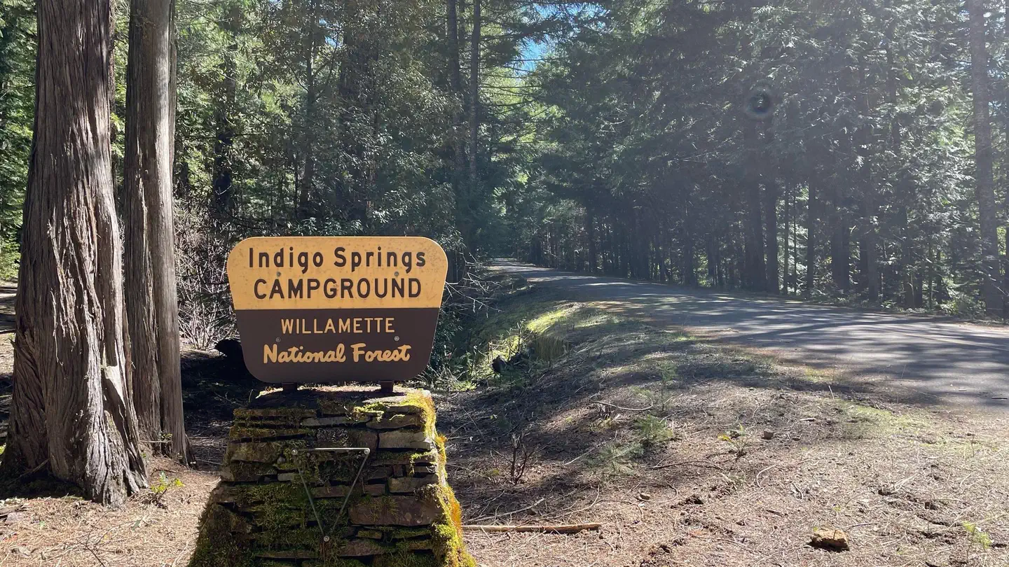
Middle Fork River, Young's Rock, Larrison Rock, Hills Creek Reservoir, Chuckle Springs, Indigo Springs
- 8.2 miBoulder Creek Trailhead ↗Trailhead
- 14 miC.T. Beach Picnic Area And Boat Launch ↗Boat launch
- 14.2 miBradley Trailhead ↗Trailhead
Trails nearby
- 0.1 miYoung'S Rock ↗4.8 mi trail · hiking, horse, bike
- 1.1 miYoungs Rock Tie0.1 mi trail · hiking, horse, bike
- 3.1 miMoon Point1.1 mi trail · hiking, horse, bike
- 4 miNfst-58506130.1 mi trail · hiking, horse, bike, motorcycle and 2 more
- 4 miNfst-58506110.6 mi trail · hiking, horse, bike, motorcycle and 2 more
- 4.2 miNfst-58506102.4 mi trail · hiking, horse, bike, motorcycle and 2 more
Trailheads within three miles
- under 0.1 miYoungs Rock Trailhead ↗Willamette National Forest
- 0.5 miMiddle Fork Nat'l Recreation TH: Road 2133/34 ↗Willamette National Forest
- 3 miMoon Point Trailhead ↗Willamette National Forest
Trail and trailhead records are the Forest Service's. Distances are straight-line to the nearer trail end. Trail conditions are not tracked here.
Public land it sits in
This campground sits inside Umpqua National Forest.
- inUmpqua National Forest ↗National Forest · Forest Service · 1,035,837 acres
- 8.1 miBoulder Creek Wilderness ↗Wilderness · Forest Service · 19,918 acres
- 10.9 miDiamond Peak Wilderness ↗Wilderness · Forest Service · 52,496 acres
Each unit is published as a centre point and an acreage rather than a boundary, so this section stands it in for a circle of the same area. Whether a campground is inside, and how far it is from one it is outside, are both approximate.
Other campgrounds nearby
Cabin and lookout rentals nearby
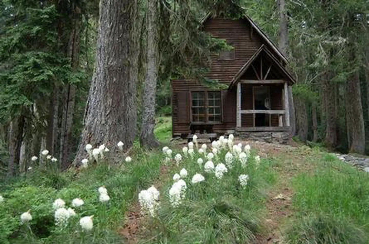
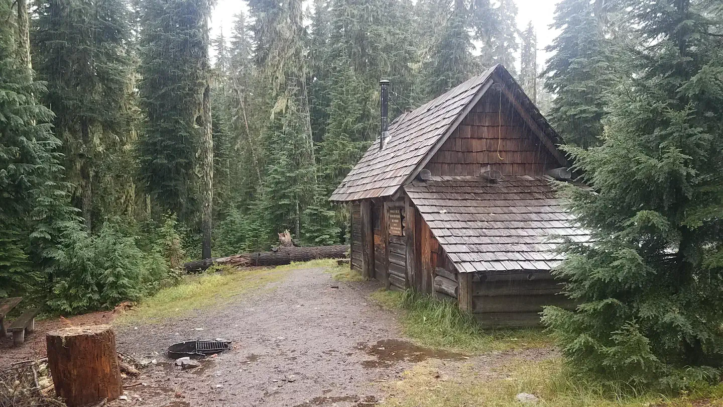
On the National Register nearby
- Musick Guard StationBuilding · Cottage Grove · 12.7 mi
Natural features
This campsite is located in a beautiful grove of Douglas firs, pines, and cedars. The Middle Fork flows along the side of the campground, and Chuckle Springs and Hills Creek Reservoir are short drives away.
Recreation
This campground is ideally located for hikers, mountain bikers, and equestrians. The Middle Fork National Recreation Trail can be accessed just outside of the campground, as well as the Young's Rock trail. Chuckle Springs and Indigo Springs offer other opportunities nearby, and in the right season fishing is available in the Middle Fork as well as the nearby Hills Creek Reservoir.
Guidebooks for Oregon
We earn a small commission if you buy through these links. It does not change what we list.

Titles come from Open Library's catalog, matched by subject heading or by title.
Reference
Questions people ask
Do I need a reservation at Campers Flat?
Sites at Campers Flat are reservable on Recreation.gov. Reserve online at www.recreation.gov or phone 1.877.444.6777. Any walk-up sites are listed on the booking page.
Source: Recreation.gov
How much does it cost to camp at Campers Flat?
Group Campsite - $50 per night (6 people per site, 5 single sites). Campsite must be occupied every night paid, and fees must be paid within 30 minutes of arrival.
Source: Recreation.gov
What time is check-in at Campers Flat?
Check-in 2:00 PM, checkout 11:00 AM.
Source: Recreation.gov
Is Campers Flat open right now?
Closed for the season as of Oct 16, 2026. Season May to October.
Source: Forest Service status
How many sites does Campers Flat have?
1 site, including 1 group site.
Source: Recreation.gov
Can I bring an RV to Campers Flat?
Campers Flat is listed for tents only.
Source: Recreation.gov
Are pets allowed at Campers Flat?
Yes, pets are allowed at Campers Flat. Leash rules apply.
Source: Recreation.gov
Can I have a campfire at Campers Flat?
Fires are allowed in the provided rings under normal conditions. As of 2026-10-16, there is 1 active fire within 50 miles, so check current restrictions before you light one. Group campsite capacity: 30 persons, 10 vehicles, 10 tents.
Source: Fire nearby
What is there to do at Campers Flat?
This campground is ideally located for hikers, mountain bikers, and equestrians. The Recreation section on this page has the rest.
Source: Recreation
What if Campers Flat is full?
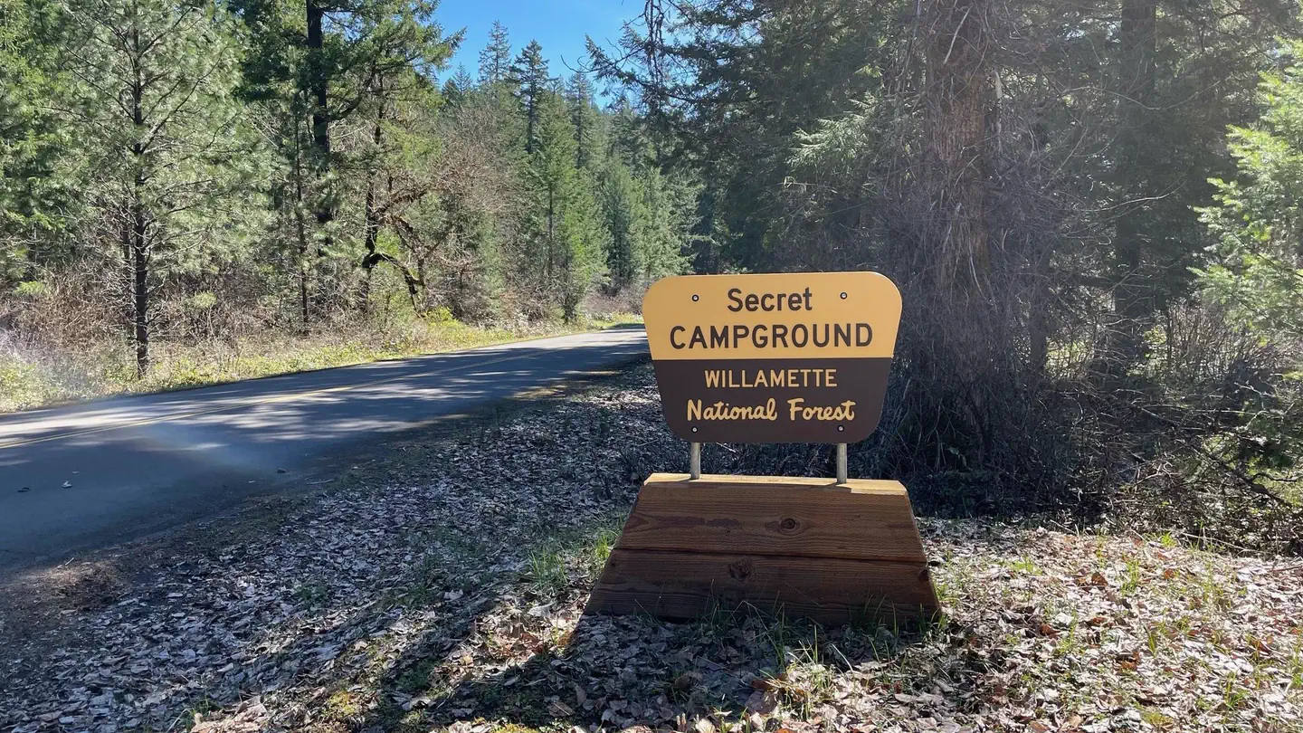
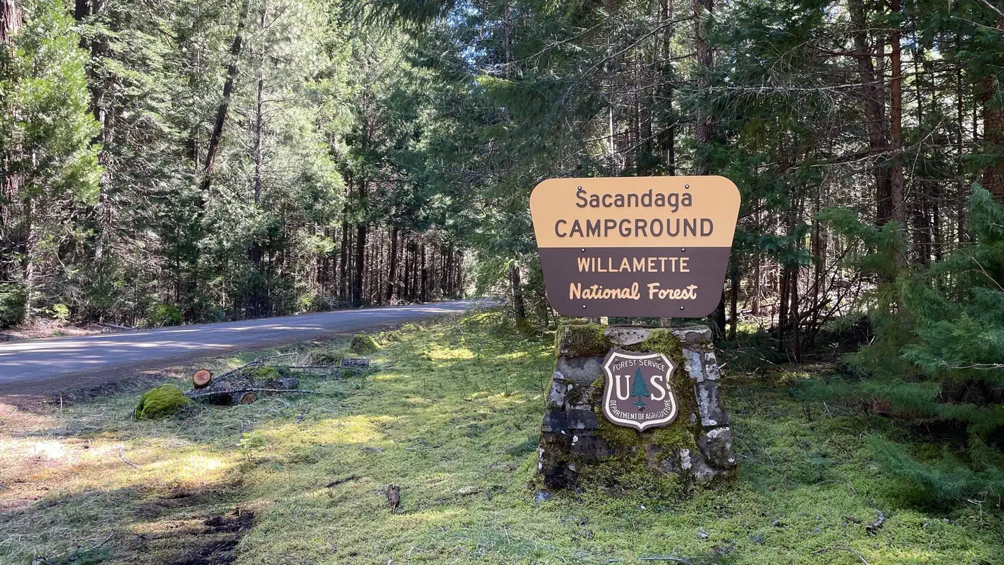
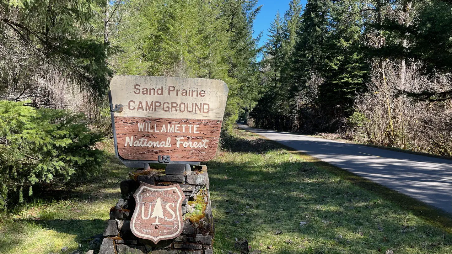
The nearest public campgrounds are Secret (1.7 mi), Sacandaga (4.2 mi, partly first-come), and Sand Prairie Campground (7.2 mi).
Source: Campgrounds nearby