Red Ives Cabin
Red Ives Cabin is a popular location in the Idaho Panhandle National Forests. It served as the Ranger Station for the Red Ives Ranger District of the St. Joe National Forest from the 1930s to 1984. Attractions include its location on the St. Joe Wild and Scenic River. It is located 86 miles southeast of St. Maries, Idaho on Forest Road 218. The Cabin requires an entry key code to get in. Contact St. Joe Ranger District for instructions if you have a reservation at 208 245 2531.
Check availability on Recreation.gov ↗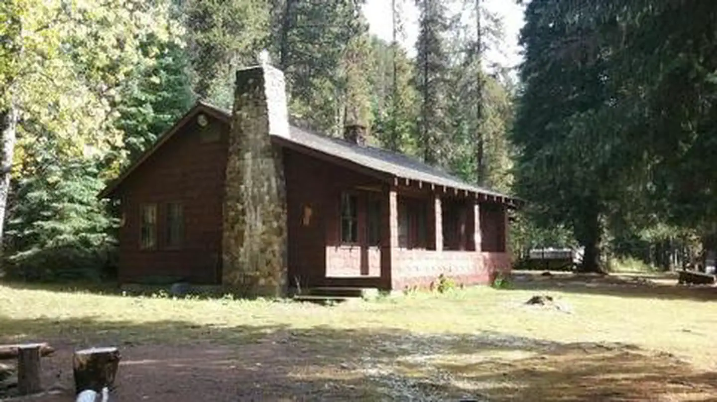


active
Site mix
| Cabins | 1 |
Site guide
1 site. Tap a filter to narrow the list; the map follows.
| Site | Entry | Fits, ft | Surface | Shade | Waterfront | People / vehicles | Fires |
|---|---|---|---|---|---|---|---|
| Red Ives Cabin | Pull-through | 165 | Gravel | Partial | Riverfront | 8 / – | Yes |
Per-site records as published by the managing agency on Recreation.gov. Blank cells mean the agency listed nothing for that site. Check-in 2:00 PM, checkout 11:00 AM.
Amenities & rules
| Campfires | Allowed, subject to restrictions |
The cabin features two bedrooms (one queen, two sets of bunkbeds and one queen size futon), kitchen, living room, bathroom and covered front porch; propane stove/oven and refrigerator; hot water, flush toilet and shower/tub. Battery lanterns are provided for lights, however visitors are recommended to bring additional battery operated lights. A gas log fireplace provides heat. Absolutely no pets.
Individual sites vary. Confirm on Recreation.gov or with the managing office.
Weather by month
Getting there
From St. Maries, Idaho: Follow paved Forest Highway 50 (St. Joe River Rd) 47 miles to Avery. Continue 29 more miles along FH-50 to the Red Ives Road #218. Turn right (south) on road #218 and travel 10 miles upstream to the Red Ives Ranger Station. The Red Ives Road is a narrow One-lane road with turn-outs.
| Nearest town | Saint Maries, Idaho |
| Coordinates | 47.0566° N, 115.3515° W · Directions ↗ |
Fire nearby
- PrescribedD4 Rx Simmons Peak
4 mi from the campground
- WildfireNugget Hill
14 mi from the campground · 35 acres
- PrescribedRx D7 Lost Creek 155/559
16 mi from the campground · 17 acres
- PrescribedD4 Rx Hwy 50 Roadside Salvage
17 mi from the campground
Distance is to the reported incident point, not the fire edge. Call the managing office before you drive.
Supplies & services
| Dump station | Dump station ↗ | 24.4 mi |
Locations © OpenStreetMap contributors. Call ahead; hours change seasonally.
Explore
Trails nearby
- 0.1 miCopper Ridge ↗9.1 mi trail · hiking, horse, bike
- 0.1 miIndian Peak ↗4.7 mi trail · hiking, horse, bike, motorcycle and 1 more
- 0.5 miCopper Lines Connection0.6 mi trail · hiking, horse, bike
- 0.8 miCopper Creek ↗6.3 mi trail · hiking, horse, bike
- 0.9 miLine Creek3.7 mi trail · hiking, horse, bike
- 1.4 miSt. Joe River ↗20.8 mi trail · hiking, horse, bike
Trail and trailhead records are the Forest Service's. Distances are straight-line to the nearer trail end. Trail conditions are not tracked here.
Public land it sits in
Nez Perce-Clearwater National Forest begins about 14.1 miles away, and it is the closest of these.
- 14.1 miNez Perce-Clearwater National Forest ↗National Forest · Forest Service · 4,072,795 acres
Each unit is published as a centre point and an acreage rather than a boundary, so this section stands it in for a circle of the same area. Whether a campground is inside, and how far it is from one it is outside, are both approximate.
Other campgrounds nearby


Cabin and lookout rentals nearby

On the National Register nearby
- Halm Creek, Bean Creek FireSite · Red Ives · 3.4 mi
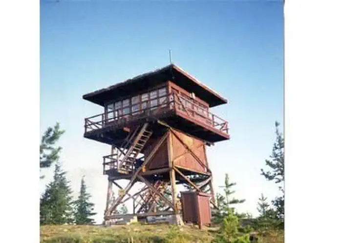
- Mallard Peak LookoutBuilding · Avery · 11.6 mi
- Gildersleeve MineHistoric district · Superior · 14.9 mi
Natural features
The facility is set alongside the St. Joe National Wild and Scenic River. The terrain is mountainous with steep drainages and heavily forested mountain sides.
Recreation
Red Ives offers several recreation opportunities from hiking and OHV use to world-class fishing and wildlife spotting. The St. Joe River also offers opportunities in floating and kayaking.
Nearby
Avery is the nearest town for conveniences.
Guidebooks for Idaho
We earn a small commission if you buy through these links. It does not change what we list.

Titles come from Open Library's catalog, matched by subject heading or by title.
Reference
Questions people ask
Do I need a reservation at Red Ives Cabin?
Sites at Red Ives Cabin are reservable on Recreation.gov. Any walk-up sites are listed on the booking page.
Source: Recreation.gov
What time is check-in at Red Ives Cabin?
Check-in 2:00 PM, checkout 11:00 AM.
Source: Recreation.gov
How many sites does Red Ives Cabin have?
1 site, including 1 cabin.
Source: Recreation.gov
Are there showers or a dump station at Red Ives Cabin?
The cabin features two bedrooms (one queen, two sets of bunkbeds and one queen size futon), kitchen, living room, bathroom and covered front porch; propane stove/oven and refrigerator; hot water, flush toilet and shower/tub.
Source: Recreation.gov
Can I have a campfire at Red Ives Cabin?
Fires are allowed in the provided rings under normal conditions. As of 2026-10-16, there are 4 active fires within 50 miles, so check current restrictions before you light one.
Source: Fire nearby
What is there to do at Red Ives Cabin?
Red Ives offers several recreation opportunities from hiking and OHV use to world-class fishing and wildlife spotting. The Recreation section on this page has the rest.
Source: Recreation
What is the nearest town to Red Ives Cabin?
Saint Maries, Idaho. Avery is the nearest town for conveniences.
Source: Getting there
What if Red Ives Cabin is full?
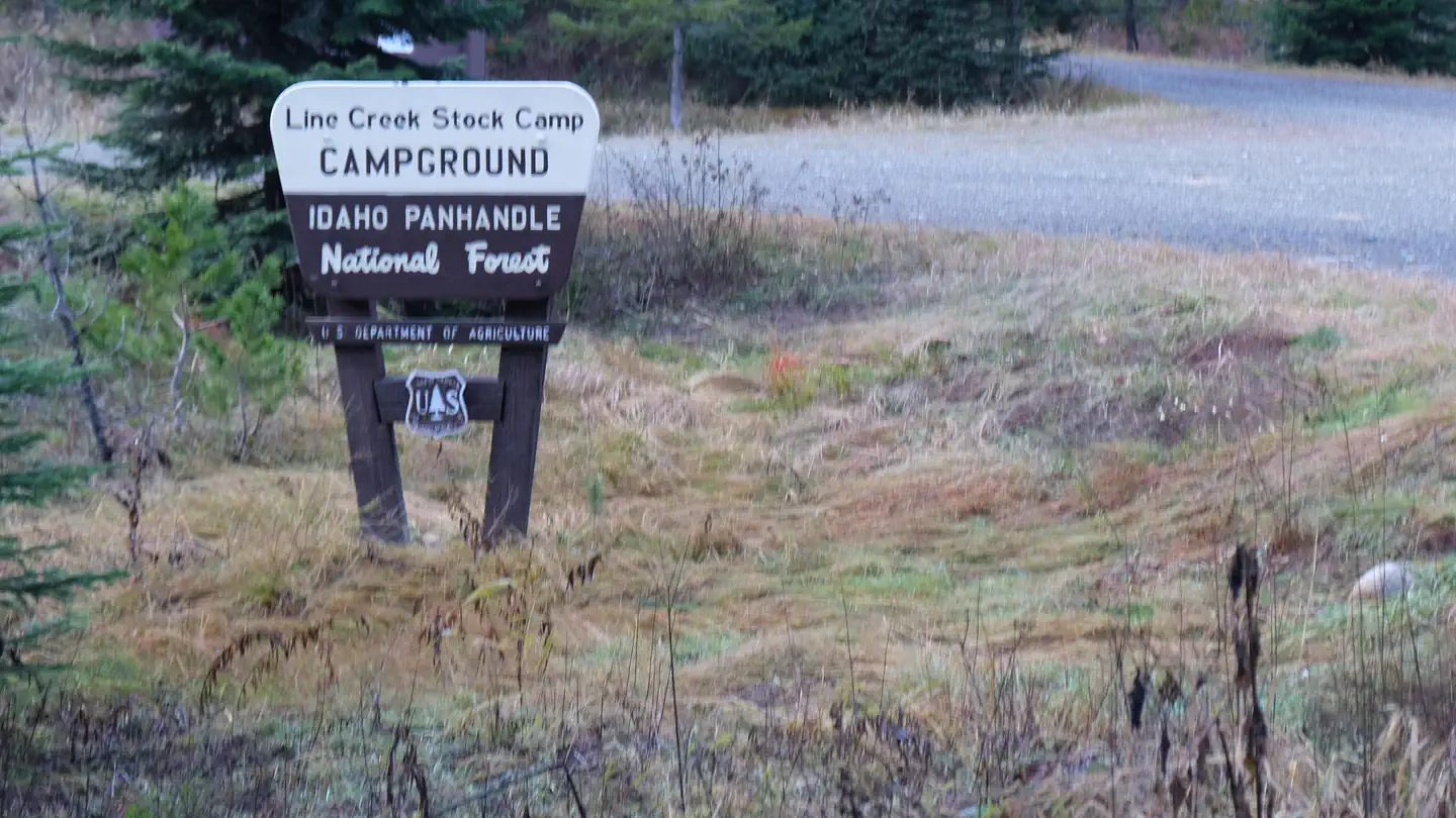
The nearest public campgrounds are Line Creek Stock Campground (0.9 mi), Spruce Tree Campground (1.3 mi, first-come), and Fly Flat Campground (4.3 mi, first-come).
Source: Campgrounds nearby