Beaver Creek A-Frame Cabin
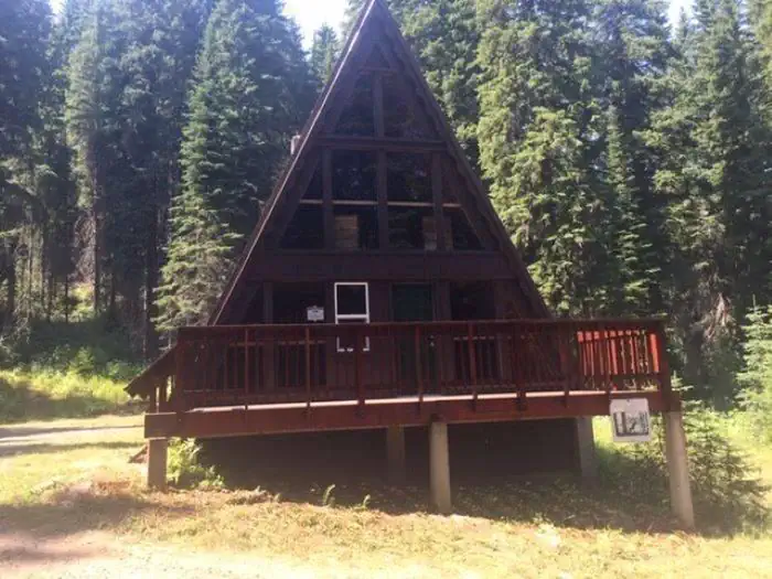
Beaver Creek A-Frame is located on the St. Joe Ranger District of the Idaho Panhandle National Forests in the heart of the Bitterroot Mountains. It is only a few miles from the St. Joe Wild and Scenic River and the historic Red Ives Ranger Station. The area is well known for its abundance of outdoor activities, such as site seeing, hiking, ATV/UTVing, fishing, and hunting. There is no cell service in the area.
Check availability on Recreation.gov ↗
active
Site mix
| Cabins | 1 |
Site guide
Will my RV fit
The longest site here provides 20 feet of vehicle capacity. Most sites are shorter.
1 site. Tap a filter to narrow the list; the map follows.
| Site | Entry | Fits, ft | Surface | Waterfront | People / vehicles | Rating |
|---|---|---|---|---|---|---|
| Beaver Creek Cabin | Back-in | 20 | Gravel | Riverfront | 2 / 3 | Standard |
Per-site records as published by the managing agency on Recreation.gov. Blank cells mean the agency listed nothing for that site. Check-in 03:00 PM, checkout 11:00 AM.
Amenities & rules
| Hookups | None |
| Max vehicle length | 20 ft |
| Equipment | RVs & trailers |
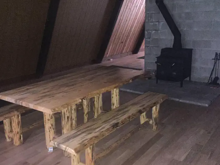
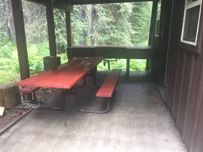
Beaver Creek A-Frame is a rustic cabin. The cabin is furnished with only a picnic table and woodstove. It is 1900 sq. ft with an upstairs, 2 decks, and covered outside cooking area. There is a small creek in close proximity as well as a vault toilet. The cabin can fit eight people.
Individual sites vary. Confirm on Recreation.gov or with the managing office.
Weather by month
Getting there
From St. Maries, ID - Highway 50 (St. Joe River Rd) east approx 76 miles to Red Ives Road 218 - approx 8 miles on 218 to Beaver Creek Road 303 - 3 miles to cabin
| Nearest town | St. Marie'S, Idaho |
| Coordinates | 47.0681° N, 115.4046° W · Directions ↗ |
Fire nearby
- PrescribedD4 Rx Simmons Peak
6 mi from the campground
- WildfireNugget Hill
12 mi from the campground · 35 acres
- PrescribedD4 Rx Hwy 50 Roadside Salvage
15 mi from the campground
- PrescribedRx D7 Lost Creek 155/559
18 mi from the campground · 17 acres
Distance is to the reported incident point, not the fire edge. Call the managing office before you drive.
Supplies & services
| Dump station | Dump station ↗ | 21.9 mi |
Locations © OpenStreetMap contributors. Call ahead; hours change seasonally.
Explore
Trails nearby
- 0.3 miBeaver Creek ↗6.4 mi trail · hiking, horse, bike, motorcycle and 1 more
- 0.7 miBeaver Peak2.7 mi trail · hiking, horse, bike
- 1.1 miFly Peak3 mi trail · hiking, horse, bike, motorcycle and 1 more
- 2.1 miIndian Creek3.6 mi trail · hiking, horse, bike, motorcycle and 1 more
- 2.4 miCopper Creek ↗6.3 mi trail · hiking, horse, bike
- 2.5 miAngle Point ↗7.9 mi trail · hiking, horse, bike, motorcycle
Trail and trailhead records are the Forest Service's. Distances are straight-line to the nearer trail end. Trail conditions are not tracked here.
Public land it sits in
Nez Perce-Clearwater National Forest begins about 14.9 miles away, and it is the closest of these.
- 14.9 miNez Perce-Clearwater National Forest ↗National Forest · Forest Service · 4,072,795 acres
Each unit is published as a centre point and an acreage rather than a boundary, so this section stands it in for a circle of the same area. Whether a campground is inside, and how far it is from one it is outside, are both approximate.
Other campgrounds nearby


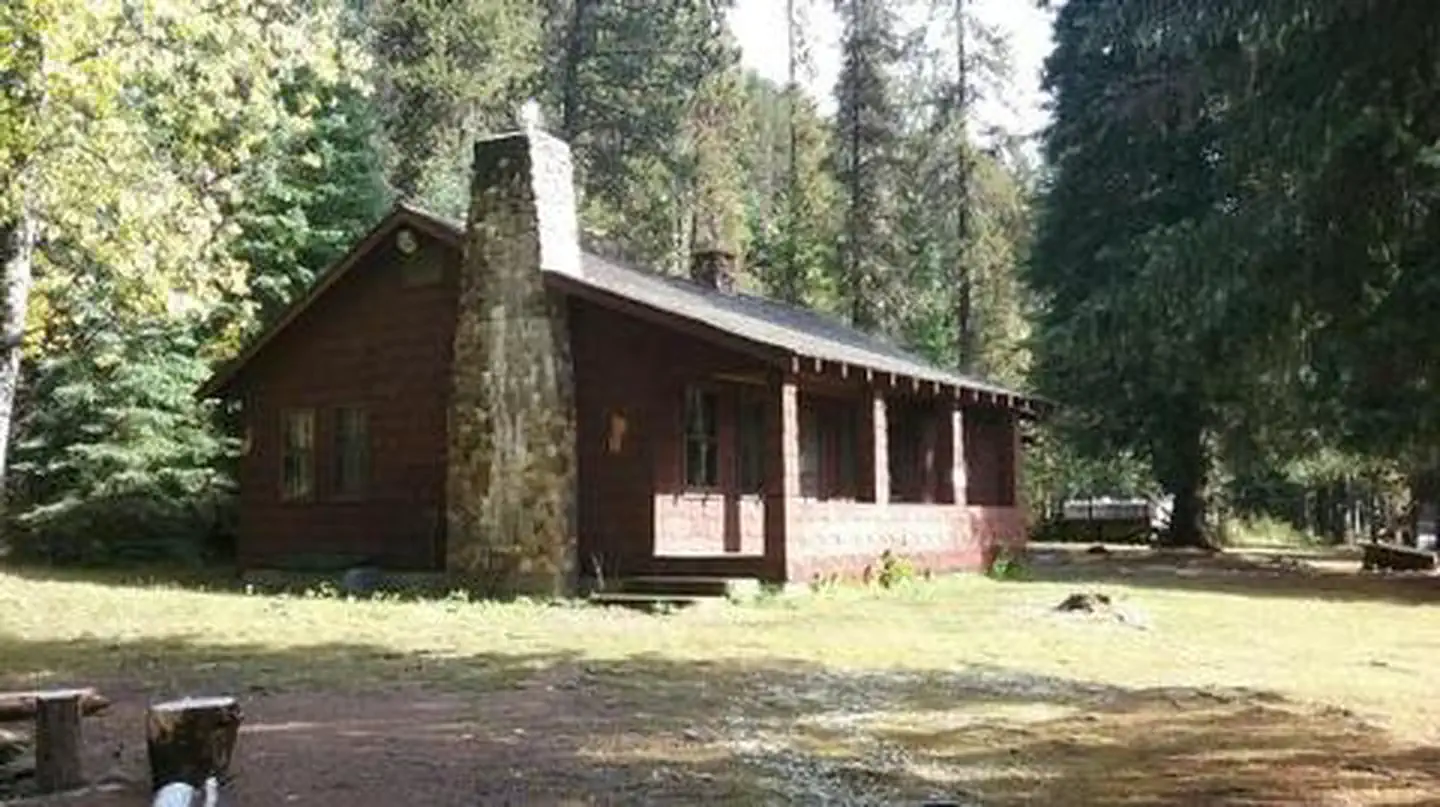
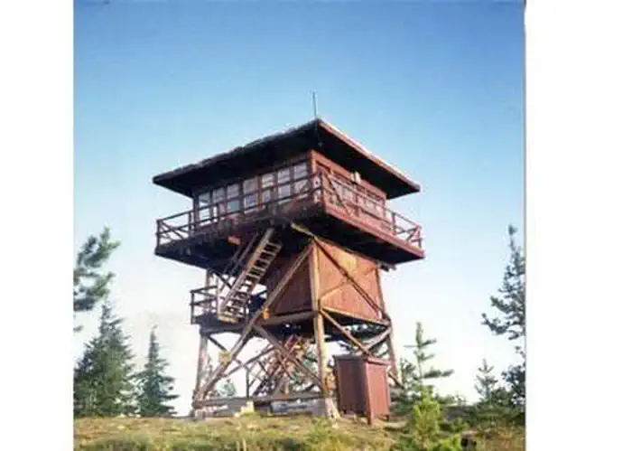
Cabin and lookout rentals nearby
On the National Register nearby
- Halm Creek, Bean Creek FireSite · Red Ives · 4.8 mi
- Mallard Peak LookoutBuilding · Avery · 10.6 mi
Natural features
Beaver Creek A-Frame is located on the Beaver Creek Drainage which is heavily forested, rugged, and remote.
Recreation
ATVing, UTVing, hiking, hunting, fishing, berry picking, site seeing.
Nearby
Historic Red Ives Ranger Station, St. Joe Wild and Scenic River, Mallard Larkins Pioneer Area, Snow Peak WMA. Closest towns with amenities are St. Regis, MT (approx 39 miles) and Avery, ID (approx 40 miles). There are also many miles of nonmotorized and motorized trails in the area.
Guidebooks for Idaho
We earn a small commission if you buy through these links. It does not change what we list.

Titles come from Open Library's catalog, matched by subject heading or by title.
Reference
Questions people ask
Do I need a reservation at Beaver Creek A-Frame Cabin?
Sites at Beaver Creek A-Frame Cabin are reservable on Recreation.gov. Any walk-up sites are listed on the booking page.
Source: Recreation.gov
What time is check-in at Beaver Creek A-Frame Cabin?
Check-in 03:00 PM, checkout 11:00 AM.
Source: Recreation.gov
How many sites does Beaver Creek A-Frame Cabin have?
1 site, including 1 cabin.
Source: Recreation.gov
Will my RV fit at Beaver Creek A-Frame Cabin?
The longest site here provides 20 feet of vehicle capacity. Most sites are shorter. The sidebar tool checks a trailer or motorhome length against every site.
Source: Will my RV fit
What is the nearest town to Beaver Creek A-Frame Cabin?
St. Marie'S, Idaho. Historic Red Ives Ranger Station, St.
Source: Getting there
What if Beaver Creek A-Frame Cabin is full?
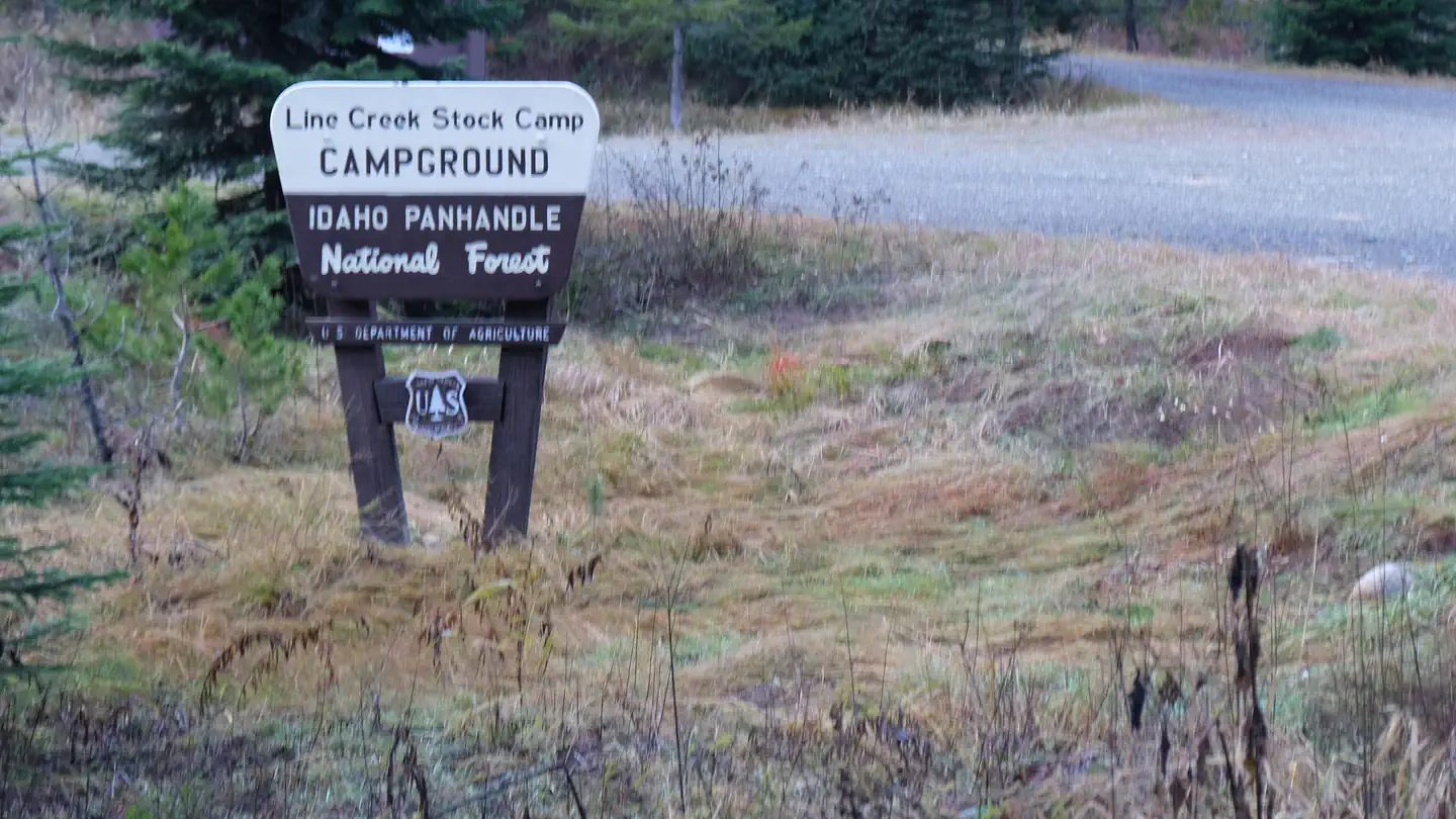
The nearest public campgrounds are Line Creek Stock Campground (3.1 mi), Fly Flat Campground (3.1 mi, first-come), and Spruce Tree Campground (3.4 mi, first-come).
Source: Campgrounds nearby