Jackpine Flats Campground
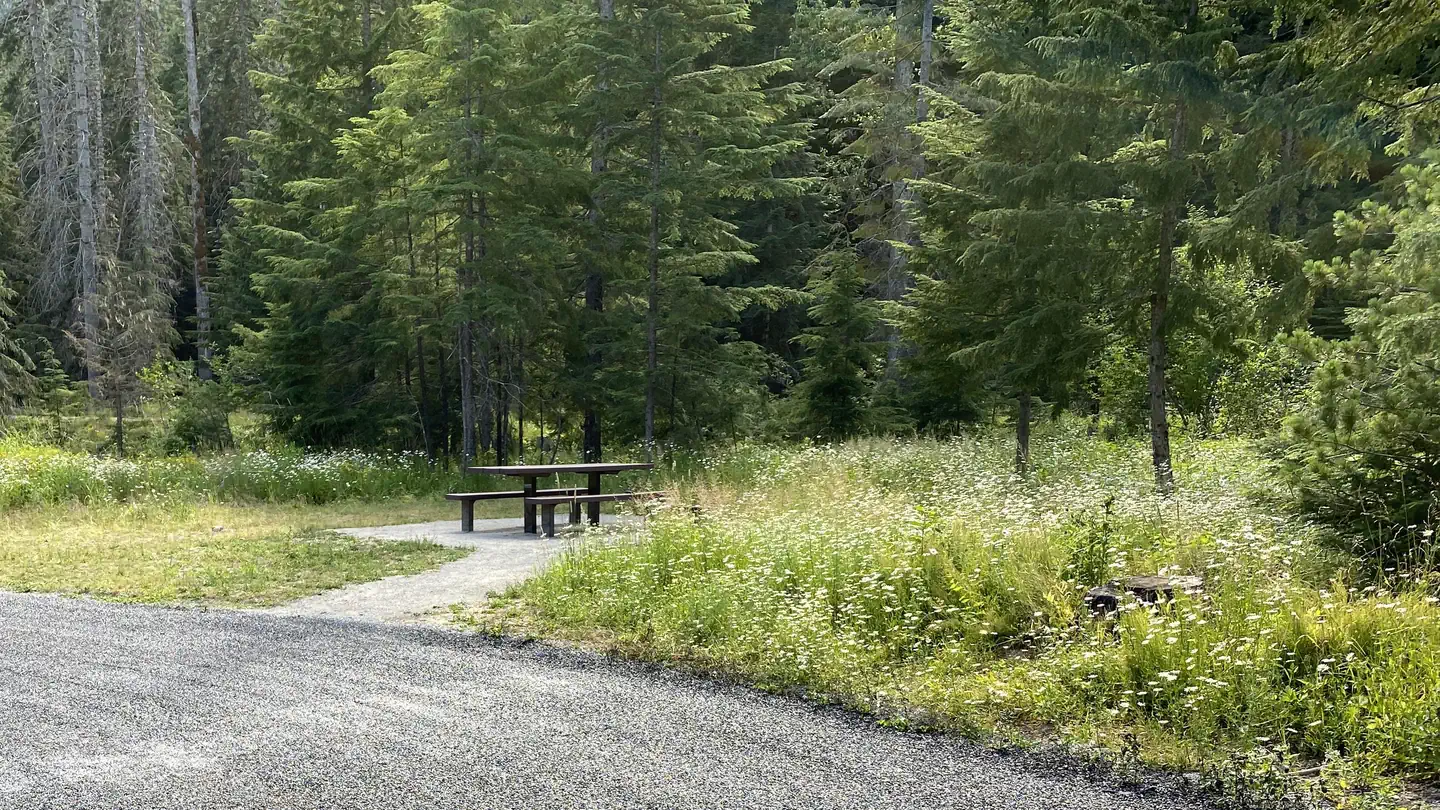
The Jackpine Flats campground is located 20 miles south of Trout Creek on Beaver Creek road 152. The campground has 1 site with table and fire ring. This campsite is best suited for tents or a pop up trailer as there is limited space to maneuver an RV. Amenities include a vault toilet. From Hwy 200 follow Beaver Creek road 152 for approximately 9 miles to the campground.
More like this: first-come in Montana

Season & status
| Forest | Kootenai National Forest |
| Fees | $0.00 |
| Rules | 16 day stay limit on all National Forest Lands. Pets are welcome, but must be leashed. Lighting of fireworks is not allowed on National Forest System Lands |
Weather by month
Getting there
| Coordinates | 47.6856° N, 115.6461° W · Directions ↗ |
Fire nearby
- PrescribedD4 Rx Hwy 50 Roadside Salvage
32 mi from the campground
- WildfireNugget Hill
33 mi from the campground · 35 acres
- PrescribedD4 Rx Simmons Peak
46 mi from the campground
- PrescribedRx D7 Lost Creek 155/559
46 mi from the campground · 17 acres
Distance is to the reported incident point, not the fire edge. Call the managing office before you drive.
Supplies & services
| Dump station | Dump station ↗ | 24.9 mi |
| RV sales & service | Everything RV ↗ | 49 mi |
Locations © OpenStreetMap contributors. Call ahead; hours change seasonally.
No site-by-site records, no amenities, no fee schedule, no directions or photos in the Recreation.gov record. What is here comes from the agency's own listing. The rest lives there.
Checked nightly. Modules appear as soon as the record fills in.
Explore
Trails nearby
- under 0.1 miCub Creek2 mi trail · hiking, horse, bike, motorcycle and 2 more
- 2.1 miDixie Ridge3.1 mi trail · hiking, horse, bike, motorcycle and 2 more
- 3.2 miEmma Creek ↗6.2 mi trail · hiking, horse, bike, snowmobile
- 3.3 miReader Gulch4.2 mi trail · hiking, horse, bike, motorcycle and 2 more
- 4.6 miClear Creek ↗5.5 mi trail · hiking, horse, bike, motorcycle
- 4.8 miBlack Peak ↗12.8 mi trail · hiking, horse, bike, motorcycle and 3 more
Trailheads within three miles
- 0.1 mi#734 Cub Creek Trailhead ↗Kootenai National Forest
- 2.1 mi#731 Dixie Ridge Trailhead ↗Kootenai National Forest
Trail and trailhead records are the Forest Service's. Distances are straight-line to the nearer trail end. Trail conditions are not tracked here.
Public land it sits in
This campground sits inside Idaho Panhandle National Forests.
- inIdaho Panhandle National Forests ↗National Forest · Forest Service · 2,943,333 acres
Each unit is published as a centre point and an acreage rather than a boundary, so this section stands it in for a circle of the same area. Whether a campground is inside, and how far it is from one it is outside, are both approximate.
Other campgrounds nearby
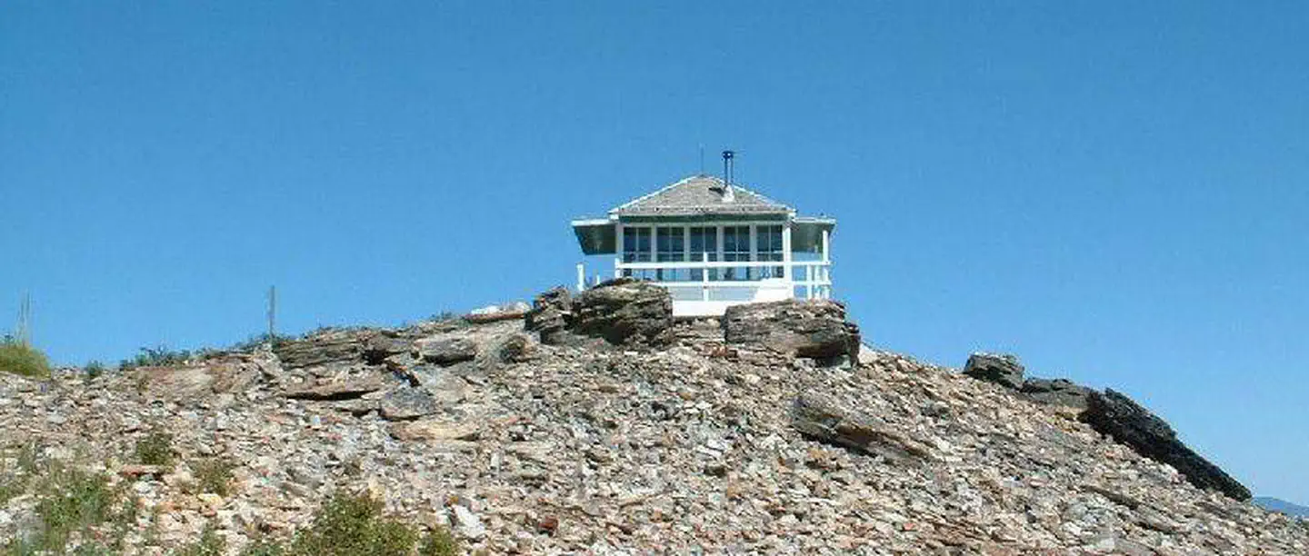
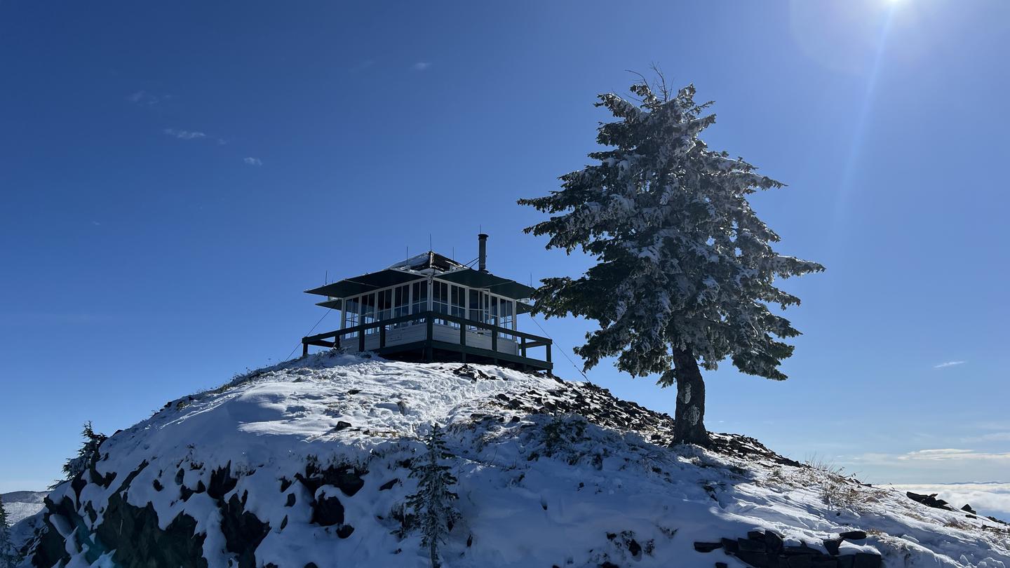
Cabin and lookout rentals nearby

On the National Register nearby
- John C. Feehan HouseBuilding · Murray · 10.4 mi
- Murray CourthouseBuilding · Murray · 10.6 mi
- Murray Masonic HallBuilding · Murray · 10.6 mi
Guidebooks for Montana
We earn a small commission if you buy through these links. It does not change what we list.

Titles come from Open Library's catalog, matched by subject heading or by title.
Reference
Questions people ask
Do I need a reservation at Jackpine Flats Campground?
No. Jackpine Flats Campground is first-come, first-served. Sites are taken on arrival and paid at the fee station.
Source: Forest Service
How much does it cost to camp at Jackpine Flats Campground?
$0.00
Source: Forest Service
What if Jackpine Flats Campground is full?
The nearest public campgrounds are North Shore Campground (12.1 mi, first-come), Marten Creek Campground (14.4 mi, first-come), and Berlin Flats Group Campground (16.1 mi).
Source: Campgrounds nearby