Minton Peak Lookout
Minton Peak Lookout is situated in the Rocky Mountains at an elevation of 5,351 feet in the Kootenai National Forest. The original lookout was constructed in 1932, replaced in 1968, and completely rebuilt in 2011. The mountain was named after Col. David Minton, an Ohio cavalryman who homesteaded (and is buried) near the mouth of Minton Creek. The lookout is typically open from late June through mid-October and is accessible by car. This rustic retreat offers a few amenities, but guests should pack in most of their own supplies and gear.
Check availability on Recreation.gov ↗


Site mix
| Fire lookouts | 1 |
Site guide
1 site. Tap a filter to narrow the list; the map follows.
| Site | Entry | Surface | Water / sewer | People / vehicles | Fires | Rating |
|---|---|---|---|---|---|---|
| 001 | Pull-through | Gravel | No / No | 4 / – | Yes | Standard |
Per-site records as published by the managing agency on Recreation.gov. Blank cells mean the agency listed nothing for that site. Check-in 2:00 PM, checkout 11:00 AM.
Amenities & rules
| Pets | Allowed |
| Campfires | Allowed, subject to restrictions |
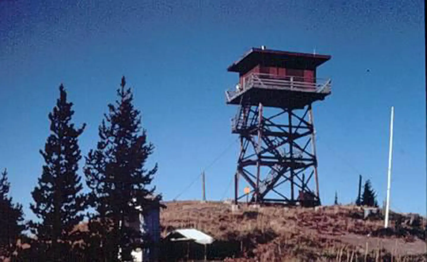
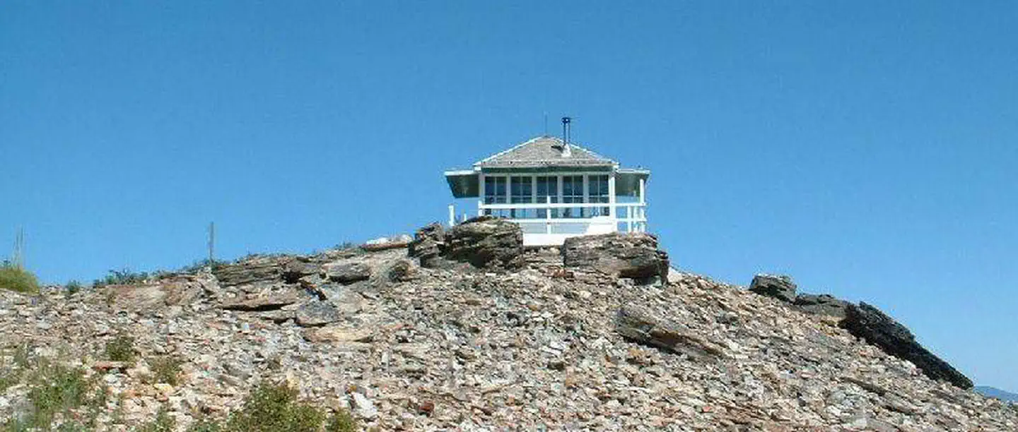
The 14x14 foot cabin sits on a five foot tower. The lookout has windows on all sides and is encircled by a catwalk. The cabin sleeps four people and is equipped with two twin size beds with mattresses. Other amenities include a table and chairs, wood stove for heat, two-burner cooktop (propane not provided), broom and dustpan. Firewood is provided. An outhouse with a vault toilet and a campfire ring are located outside. The lookout does not have electricity or water. Guests should bring enough water for drinking, cooking and cleaning. Items such as cooking gear, bedding, lanterns, matches, extra toilet paper, trash bags, dish soap and towels are not available.
Individual sites vary. Confirm on Recreation.gov or with the managing office.
Weather by month
Getting there
From Trout Creek, take Cedar Street to Pine Street. Turn right and follow for 5.89 miles. (Pine St. turns into Marten Cr. Road). Turn left on Minton Peak Road 322 and follow for 7.9 miles to the lookout Road 322A. Follow this road for 0.62 miles to the lookout.
| Nearest town | Trout Creek, Montana |
| Coordinates | 47.8284° N, 115.7710° W · Directions ↗ |
Fire nearby
- PrescribedD4 Rx Hwy 50 Roadside Salvage
42 mi from the campground
- WildfireNugget Hill
44 mi from the campground · 35 acres
Distance is to the reported incident point, not the fire edge. Call the managing office before you drive.
Supplies & services
| Dump station | Dump station ↗ | 26 mi |
| RV sales & service | Everything RV ↗ | 40.3 mi |
| Outdoor gear | North 40 Outfitters ↗ | 47.7 mi |
Locations © OpenStreetMap contributors. Call ahead; hours change seasonally.
Explore
Trails nearby
- 0.5 miSorrel Gulch ↗6.6 mi trail · hiking, horse, bike, motorcycle and 2 more
- 1 miRobin Run1.3 mi trail · hiking, horse, bike
- 2.3 miAttlebury4.2 mi trail · hiking, horse, bike
- 2.5 miMinton Pass2.2 mi trail · hiking, horse, bike, motorcycle and 2 more
- 2.9 miWest Fork Trout Creek3.8 mi trail · hiking, horse, bike
- 3.4 miMarten Creek Snowmobile Route ↗31.5 mi trail · snowmobile, snowshoe, ski
Trailheads within three miles
- 1 mi#784 Robin Run Trailhead ↗Kootenai National Forest
- 2.3 mi#779 Attlebury Creek Trailhead ↗Kootenai National Forest
- 2.9 mi#795 West Fork Trout Creek Trailhead ↗Kootenai National Forest
Trail and trailhead records are the Forest Service's. Distances are straight-line to the nearer trail end. Trail conditions are not tracked here.
Public land it sits in
This campground sits inside Idaho Panhandle National Forests.
- inIdaho Panhandle National Forests ↗National Forest · Forest Service · 2,943,333 acres
- 7.9 miKootenai National Forest ↗National Forest · Forest Service · 2,622,202 acres
Each unit is published as a centre point and an acreage rather than a boundary, so this section stands it in for a circle of the same area. Whether a campground is inside, and how far it is from one it is outside, are both approximate.
Other campgrounds nearby

Cabin and lookout rentals nearby
On the National Register nearby
- John C. Feehan HouseBuilding · Murray · 14.4 mi
- Murray CourthouseBuilding · Murray · 14.5 mi
- Murray Masonic HallBuilding · Murray · 14.5 mi
Natural features
The lookout sits five feet off the ground and is surrounded by an evergreen forest. It offers panoramic views of the Clark Fork Valley, the Bitterroot Mountains to the west and the Cabinet Range to the east. This is an ideal vantage point to enjoy sunrises and sunsets and gaze out at starry skies on clear nights.
Recreation
Mountain roads and scenic trails provide access to explore the area.
Guidebooks for Montana
We earn a small commission if you buy through these links. It does not change what we list.

Titles come from Open Library's catalog, matched by subject heading or by title.
Reference
Questions people ask
Do I need a reservation at Minton Peak Lookout?
Sites at Minton Peak Lookout are reservable on Recreation.gov. Any walk-up sites are listed on the booking page.
Source: Recreation.gov
What time is check-in at Minton Peak Lookout?
Check-in 2:00 PM, checkout 11:00 AM.
Source: Recreation.gov
How many sites does Minton Peak Lookout have?
1 site, including 1 lookout.
Source: Recreation.gov
Are pets allowed at Minton Peak Lookout?
Yes, pets are allowed at Minton Peak Lookout. Leash rules apply.
Source: Recreation.gov
Can I have a campfire at Minton Peak Lookout?
Fires are allowed in the provided rings under normal conditions. As of 2026-10-16, there are 2 active fires within 50 miles, so check current restrictions before you light one.
Source: Fire nearby
What is the nearest town to Minton Peak Lookout?
Trout Creek, Montana.
Source: Getting there
What if Minton Peak Lookout is full?
The nearest public campgrounds are Marten Creek Campground (3.8 mi, first-come), North Shore Campground (6.8 mi, first-come), and Berlin Flats Group Campground (8.7 mi).
Source: Campgrounds nearby