Gem Peak Lookout Rental
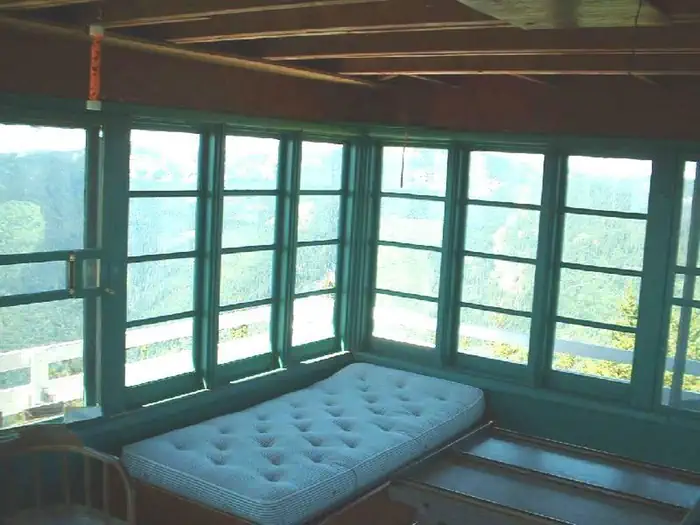
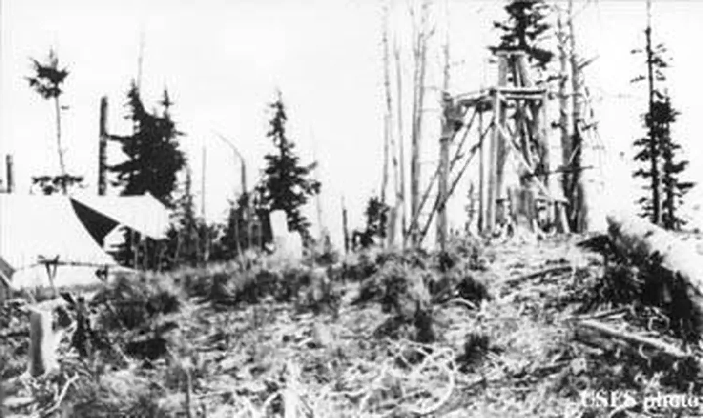
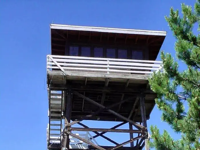
The gem peak lookout is located in the Cabinet Ranger District, situated above the Clark Fork River Area at the southern end of the Cabinet Mountain Wilderness. The original Gem Peak Lookout was activated in 1921 as a "rag outfit"--a pole platform tent near a 15 foot open-platform tower. Today, the renovated structure includes a 225 square foot cabin atop a 30-foot tower with amenities such as a wood heating stove, single beds and of course, the incredible view of the Clark Fork River and the Noxon area. Full vehicle access depends on weather conditions, but typically visitors can drive straight to the lookout.
Check availability on Recreation.gov ↗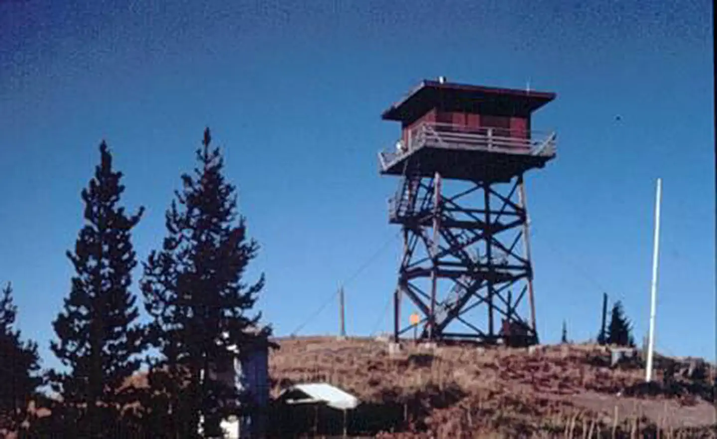
Site mix
| Cabins | 1 |
Site guide
1 site. Tap a filter to narrow the list; the map follows.
| Site | Entry | Surface | People / vehicles | Fires | Pets | Rating |
|---|---|---|---|---|---|---|
| 001 | Pull-through | Gravel | 4 / 4 | Yes | No | Standard |
Per-site records as published by the managing agency on Recreation.gov. Blank cells mean the agency listed nothing for that site. Check-in 2:00 PM, checkout 11:00 AM.
Amenities & rules
| Campfires | Allowed, subject to restrictions |
The lookout can accommodate up to 4 people with two single beds plus mattresses, a table and chairs, a bench and a wood heating stove. Guests will need to bring their own light source and cooking equipment. There is a vault toilet located outside. Cleaning equipment is provided and guests are expected to leave the tower in good condition upon departure. In addition to the above amenities, guests will need to bring a few of their own supplies to ensure a comfortable stay. Linens, pillows, cooking utensils, toilet paper, trash bags and food are not provided.
Individual sites vary. Confirm on Recreation.gov or with the managing office.
Weather by month
Getting there
From Noxon: Travel the Pilgrim Creek Road 149 for approximately 13 miles to Road 2205. Follow Road 2205 for approximately 2 miles to the lookout. From Trout Creek: Travel road 2229 for 11.5 miles. Turn left after the Marten Creek Bridge and follow road 151 for approximately 11 miles to the junction with road 2213.
| Nearest town | Trout Creek, Montana |
| Coordinates | 47.9138° N, 115.9075° W · Directions ↗ |
Good to know
- The lookout is not wired for electricity, but it does come with firewood stored at the base of the tower.
- Potable water is not available at the tower; Visitors will need to bring enough drinking water for the extent of their stay.
- This is a "pack it in, pack it out" facility; trash collection is not provided.
Fire nearby
- PrescribedD4 Rx Hwy 50 Roadside Salvage
49 mi from the campground
Distance is to the reported incident point, not the fire edge. Call the managing office before you drive.
Supplies & services
| Dump station | Dump station ↗ | 27.8 mi |
| RV sales & service | Everything RV ↗ | 36.9 mi |
| Outdoor gear | North 40 ↗ | 40.2 mi |
Locations © OpenStreetMap contributors. Call ahead; hours change seasonally.
Explore
Trails nearby
- 1.2 miMarten Creek Snomobile Route ↗5.5 mi trail · snowmobile, snowshoe, ski
- 1.2 miMarten Creek Snowmobile Route ↗31.5 mi trail · snowmobile, snowshoe, ski
- 1.5 miSouth Fork Pilgrim Creek3.7 mi trail · hiking, horse, bike, motorcycle and 2 more
- 2.6 miState Line ↗53.6 mi trail · hiking, horse, bike, motorcycle and 2 more
- 3.5 miSkeleton Creek2.4 mi trail · hiking, horse, bike, motorcycle and 2 more
- 4.7 miHulliman Ridge3.1 mi trail · hiking, horse, bike, motorcycle and 2 more
Trailheads within three miles
- 2.2 mi#1084 South Fork Pilgrim Creek ↗Kootenai National Forest
Trail and trailhead records are the Forest Service's. Distances are straight-line to the nearer trail end. Trail conditions are not tracked here.
Public land it sits in
This campground sits inside Idaho Panhandle National Forests.
- inIdaho Panhandle National Forests ↗National Forest · Forest Service · 2,943,333 acres
- 4.9 miKootenai National Forest ↗National Forest · Forest Service · 2,622,202 acres
Each unit is published as a centre point and an acreage rather than a boundary, so this section stands it in for a circle of the same area. Whether a campground is inside, and how far it is from one it is outside, are both approximate.
Other campgrounds nearby


Cabin and lookout rentals nearby


Natural features
The Clark Fork River Area is bordered by the Idaho line on the west and the Cabinet Mountains Wilderness on the east. The Clark Fork River flows north and west through the District, and the Bull and Vermilion Rivers join it from the north. Rugged peaks ranging in elevation from 6,000-8,700 feet overlook the valley bottom. The Kootenai National Forest is dominated by a mixed conifer forest, but there is also an impressive ancient cedar grove set aside as a scenic area. In the spring and throughout the summer, a succession of wildflowers add color to hillsides and meadows and in the fall, stands of western larch and aspen mix yellows with the reds of huckleberry bushes, mountain maples and mountain ash.
Recreation
The Cabinet Ranger District features almost half a million acres of National Forest lands offering a full range of year-round recreational opportunities. Approximately 400 miles of trail are available to the hiker, hunter, and stock user to access various lakes and scenic viewpoints. 150 miles of these trails are open to motorized use. The District maintains almost 400 miles of open road, and many miles of gated roads offer additional opportunities to mountain bikers, berry pickers, and hunters. There is a trailhead located near the lookout with access for both hiking and OHV riding.Visitors may also enjoy seasonal Huckleberry picking in the land surrounding the lookout.
Guidebooks for Montana
We earn a small commission if you buy through these links. It does not change what we list.

Titles come from Open Library's catalog, matched by subject heading or by title.
Reference
Questions people ask
Do I need a reservation at Gem Peak Lookout Rental?
Sites at Gem Peak Lookout Rental are reservable on Recreation.gov. Any walk-up sites are listed on the booking page.
Source: Recreation.gov
What time is check-in at Gem Peak Lookout Rental?
Check-in 2:00 PM, checkout 11:00 AM.
Source: Recreation.gov
How many sites does Gem Peak Lookout Rental have?
1 site, including 1 cabin.
Source: Recreation.gov
Can I have a campfire at Gem Peak Lookout Rental?
Fires are allowed in the provided rings under normal conditions. As of 2026-10-16, there is 1 active fire within 50 miles, so check current restrictions before you light one.
Source: Fire nearby
What is there to do at Gem Peak Lookout Rental?
The Cabinet Ranger District features almost half a million acres of National Forest lands offering a full range of year-round recreational opportunities. The Recreation section on this page has the rest.
Source: Recreation
What is the nearest town to Gem Peak Lookout Rental?
Trout Creek, Montana.
Source: Getting there
What if Gem Peak Lookout Rental is full?
The nearest public campgrounds are Marten Creek Campground (7.7 mi, first-come), Triangle Pond (8 mi, first-come), and Bull River Campground and Group Site (8.6 mi, partly first-come).
Source: Campgrounds nearby