Little Guard Lookout
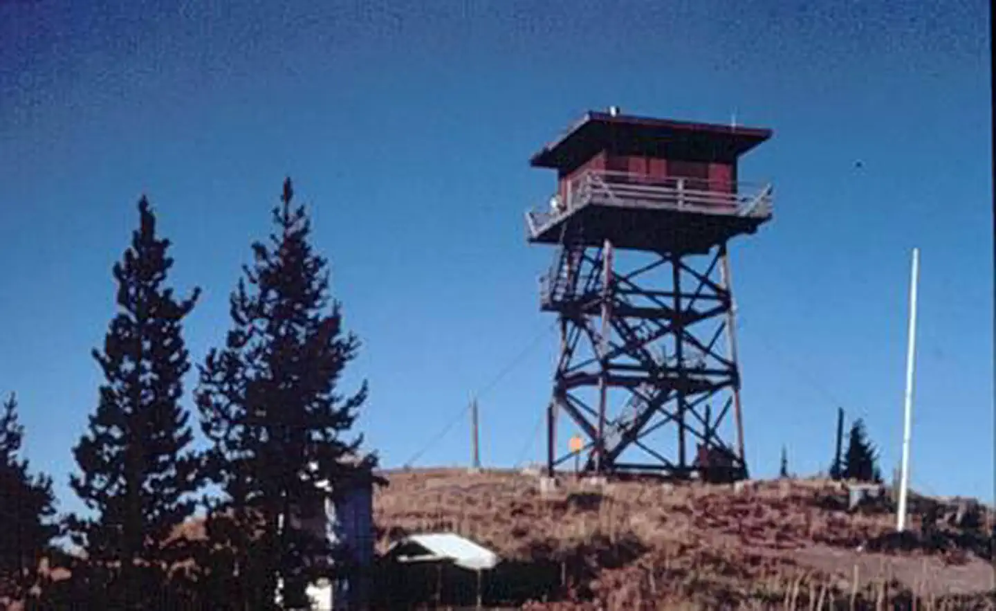
Little Guard Lookout, located about 9 miles north of Shoshone Camp, was one of the last remaining fire lookouts used in the Coeur d'Alene River area and has only just recently become inactive. The structure standing today on Little Guard Peak is the third in a series of lookout buildings that originated back to 1919. In October 1990, Little Guard Lookout was accepted for listing in the National Historic Lookout Register and the first for Idaho.
Check availability on Recreation.gov ↗


Site mix
| Cabins | 1 |
Site guide
1 site. Tap a filter to narrow the list; the map follows.
| Site | Surface | People / vehicles |
|---|---|---|
| 208 | Gravel | 4 / 2 |
Per-site records as published by the managing agency on Recreation.gov. Blank cells mean the agency listed nothing for that site. Check-in 1:00 PM, checkout 12:00 PM.
Amenities & rules
The fully furnished two-story fire lookout has dimensions of 14 x 14 feet, an external cat walk, and a gabled roof. It sleeps four guests, with one single bed and three fold-up cots available. Quarters are tight and at least two cots will need to be set up downstairs in the kitchen area. The kitchen is on the ground floor and is equipped with a small propane refrigerator, propane cook stove, table, chairs and basic cooking utensils. Propane for the stove and refrigerator is also provided. The outdoor pit toilet is within 200 feet of the lookout. It comes with biodegradable toilet paper. Other amenities include a propane heater upstairs and propane lanterns, but renters will need to bring their own propane for these. No water or electricity is available. Visitors should bring plenty of water. A mountain spring is within a half-mile by footpath, and can be boiled and treated for consumption. In addition to water, guests should bring food, propane for lanterns and heater, matches or lighters, warm clothing, garbage bags, insect repellent, towels and washcloths, toiletries, dish soap and a first aid kit. Air mattresses or sleeping pads are also recommended.
Individual sites vary. Confirm on Recreation.gov or with the managing office.
Weather by month
Getting there
From I-90, take Exit #43 (Kingston) and drive 24 miles north on Forest Highway 9 to Prichard junction. From there, continue on Forest Road 208 for about 5 miles to Forest Road 602 (on the right just past Shoshone Base Camp). Drive about 9 miles to the lookout at the end of the road.
| Nearest town | Smelterville, Idaho |
| Coordinates | 47.8028° N, 116.0094° W · Directions ↗ |
Fire nearby
- PrescribedD4 Rx Hwy 50 Roadside Salvage
44 mi from the campground
- WildfireNugget Hill
46 mi from the campground · 35 acres
Distance is to the reported incident point, not the fire edge. Call the managing office before you drive.
Supplies & services
| Dump station | Dump station ↗ | 18.9 mi |
| RV sales & service | All Seasons RV ↗ | 36.2 mi |
| Outdoor gear | North 40 Outfitters ↗ | 36.5 mi |
Locations © OpenStreetMap contributors. Call ahead; hours change seasonally.
Explore
Trails nearby
- 0.8 miShoshone Ridge ↗7.2 mi trail · hiking, horse, bike
- 1.8 miEast Little Guard OHV ↗7.2 mi trail · hiking, horse, bike, motorcycle and 2 more
- 2.6 miJohn'S Draw OHV3.9 mi trail · hiking, horse, bike, motorcycle and 2 more
- 3.9 miDam Creek Connection OHV1 mi trail · hiking, horse, bike, motorcycle and 2 more
- 4 miHulliman Ridge3.1 mi trail · hiking, horse, bike, motorcycle and 2 more
- 4 miChute Creek OHV2.9 mi trail · hiking, horse, bike, motorcycle and 2 more
Trail and trailhead records are the Forest Service's. Distances are straight-line to the nearer trail end. Trail conditions are not tracked here.
Public land it sits in
This campground sits inside Idaho Panhandle National Forests.
- inIdaho Panhandle National Forests ↗National Forest · Forest Service · 2,943,333 acres
- 13.9 miKootenai National Forest ↗National Forest · Forest Service · 2,622,202 acres
Each unit is published as a centre point and an acreage rather than a boundary, so this section stands it in for a circle of the same area. Whether a campground is inside, and how far it is from one it is outside, are both approximate.
Other campgrounds nearby

Cabin and lookout rentals nearby
On the National Register nearby
- Murray CourthouseBuilding · Murray · 14.1 mi
- Murray Masonic HallBuilding · Murray · 14.1 mi
- John C. Feehan HouseBuilding · Murray · 14.2 mi
Natural features
At an elevation of 6,031 feet, the lookout boasts spectacular views overlooking the North Fork of the Coeur d'Alene River and the Bitterroot Mountains, with views of nearby Downey Peak to the northwest. Wildlife in the area includes mule deer, moose, osprey and calliope hummingbirds.
Recreation
Hiking is a great way to explore and take in the scenery of the grand mountains. The lookout provides access to the Shoshone Ridge Trail #81, a very nice day hike for visitors to the lookout. The trail provides many scenic viewpoints, but there is no source of water along the way, so hikers must bring plenty of their own.
Guidebooks for Idaho
We earn a small commission if you buy through these links. It does not change what we list.

Titles come from Open Library's catalog, matched by subject heading or by title.
Reference
Questions people ask
Do I need a reservation at Little Guard Lookout?
Sites at Little Guard Lookout are reservable on Recreation.gov. Any walk-up sites are listed on the booking page.
Source: Recreation.gov
What time is check-in at Little Guard Lookout?
Check-in 1:00 PM, checkout 12:00 PM.
Source: Recreation.gov
How many sites does Little Guard Lookout have?
1 site, including 1 cabin.
Source: Recreation.gov
What is there to do at Little Guard Lookout?
Hiking is a great way to explore and take in the scenery of the grand mountains. The Recreation section on this page has the rest.
Source: Recreation
What is the nearest town to Little Guard Lookout?
Smelterville, Idaho.
Source: Getting there
What if Little Guard Lookout is full?
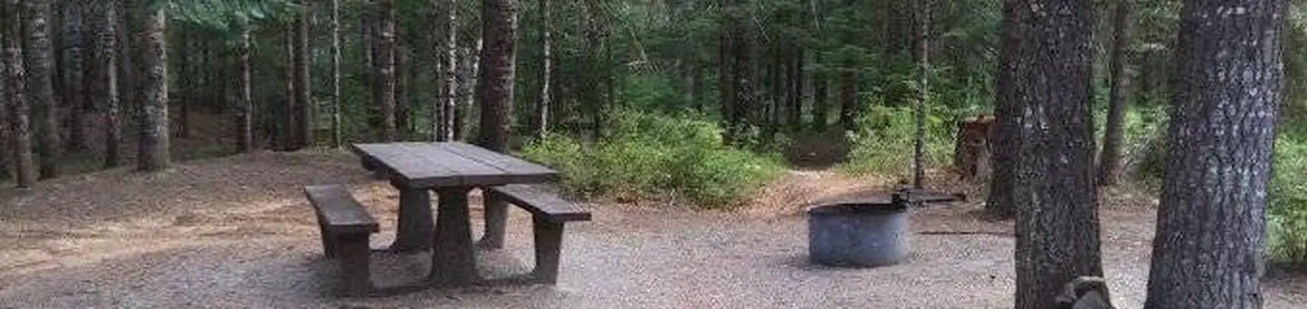
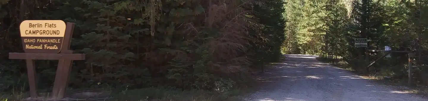
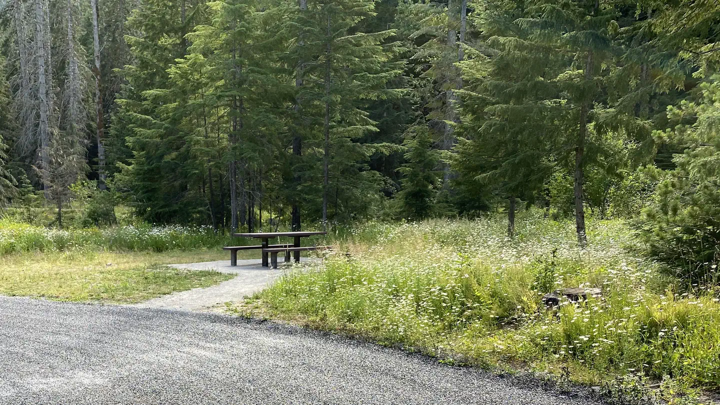
The nearest public campgrounds are Devils Elbow (2.5 mi), Berlin Flats (2.5 mi), and Berlin Flats Group Campground (2.7 mi).
Source: Campgrounds nearby