Harr Point Campground
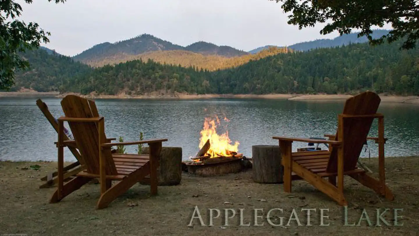
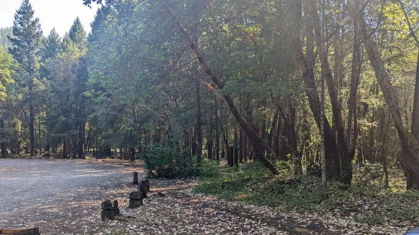
Campground is on the east shore of Applegate Lake and is accessible only by the Payette Trail #970 or by boat. Persons accessing this site by boat may find current information about lake levels helpful. This is a semi-primitive site. 5 campsites (tent-sites) with picnic tables, and fire pits. No drinking water. Vault toilet. No garbage disposal - Please pack it out
More like this: first-come in Oregon

Season & status
| Season | Year Round |
| Forest | Rogue River-Siskiyou National Forest |
| Rules | Quiet hours between 10 p.m. and 6 a.m. Campfires in developed fire pits only. Fireworks are prohibited. Dogs must be on leash. OHV/ATV use prohibited in the campground. Maximum length of stay: 14 days |
Weather by month
Getting there
From Jacksonville, Oregon, travel South on Highway 238 to Ruch and turn left on to Upper Applegate Road. Continue about 15 miles to Applegate Lake and turn left on County Road 959 (traveling across the dam). Continue along County Road 959 about 3 miles and turn right on to Forest Road 100.
| Coordinates | 42.0349° N, 123.1128° W · Directions ↗ |
Fire nearby
- PrescribedPatterson Rx
43 mi from the campground
Distance is to the reported incident point, not the fire edge. Call the managing office before you drive.
Supplies & services
| Outdoor gear | Pacific Rack Outfitters ↗ | 22.5 mi |
| RV sales & service | Blue Compass RV ↗ | 22.5 mi |
| Dump station | Dump station ↗ | 25.8 mi |
Locations © OpenStreetMap contributors. Call ahead; hours change seasonally.
Explore
Worth a stop
- 0.6 miDagelma Trailhead ↗Trailhead
- 1.3 mi
- 2.6 miSeattle Bar Day Use ↗Day use
Trails nearby
- 0.2 miOsprey0.5 mi trail · hiking, horse, bike
- 0.5 miProspectors Loop0.9 mi trail · hiking, horse, bike
- 0.6 miCalsh0.5 mi trail · hiking, horse, bike
- 0.6 miSinns Bar1 mi trail · hiking, horse, bike
- 0.7 miHarr Ridge0.5 mi trail · hiking, bike
- 0.7 miCuly0.1 mi trail · hiking, bike
Trailheads within three miles
- 0.4 miPayette - Manzanita Trailhead ↗Rogue River-Siskiyou National Forest · Season Spring
- 0.6 miDagelma Trailhead ↗Rogue River-Siskiyou National Forest
- 1 miFrench Gulch Trailhead ↗Rogue River-Siskiyou National Forest · Season Spring
- 1 miPayette - French Gulch Campground Trailhead ↗Rogue River-Siskiyou National Forest · Season Spring
Trail and trailhead records are the Forest Service's. Distances are straight-line to the nearer trail end. Trail conditions are not tracked here.
Public land it sits in
Red Buttes Wilderness begins about 6.5 miles away, and it is the closest of these.
- 6.5 miRed Buttes Wilderness ↗Wilderness · Forest Service · 20,130 acres
Each unit is published as a centre point and an acreage rather than a boundary, so this section stands it in for a circle of the same area. Whether a campground is inside, and how far it is from one it is outside, are both approximate.
Other campgrounds nearby

Cabin and lookout rentals nearby

On the National Register nearby
- Squaw Peak LookoutBuilding · Jacksonville · 5.7 mi
- McKee BridgeStructure · Ruch · 6.6 mi
- McKee Bridge CampgroundSite · Jacksonville · 6.8 mi
Guidebooks for Oregon
We earn a small commission if you buy through these links. It does not change what we list.

Titles come from Open Library's catalog, matched by subject heading or by title.
Reference
Questions people ask
Do I need a reservation at Harr Point Campground?
No. Harr Point Campground is first-come, first-served. Sites are taken on arrival and paid at the fee station.
Source: Forest Service
What if Harr Point Campground is full?
The nearest public campgrounds are Tipsu Tyee Campground (0.7 mi, first-come), Hart-Tish Park At Applegate Lake (1.4 mi), and Watkins Campground (2.5 mi, first-come).
Source: Campgrounds nearby