Acorn Woman Peak Lookout
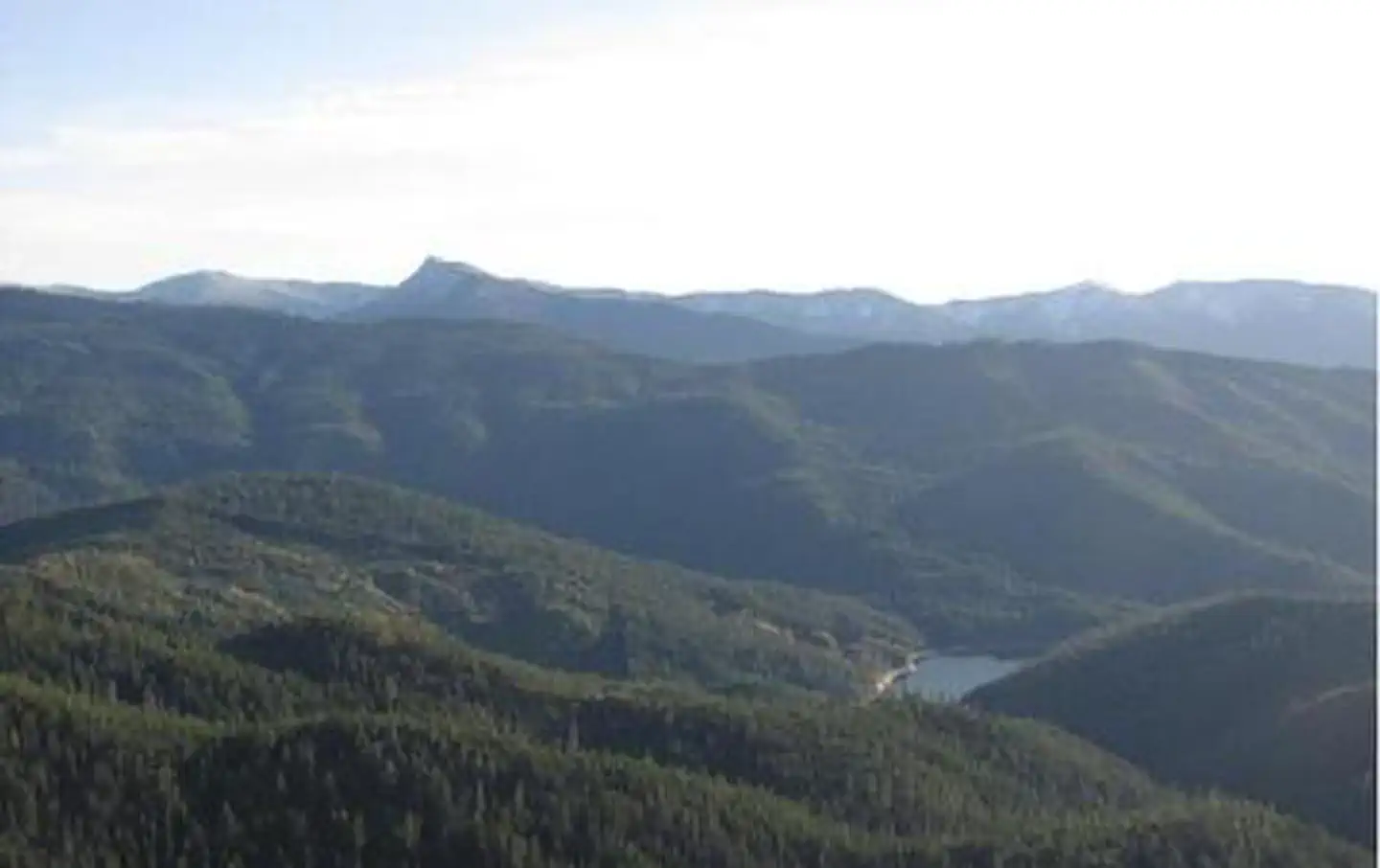
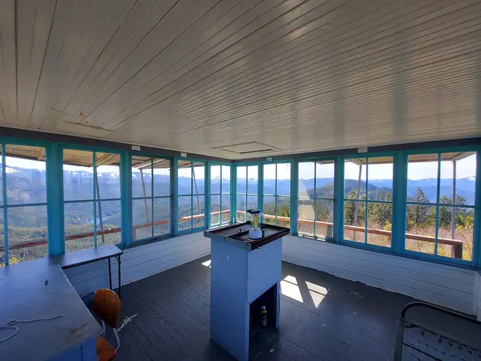
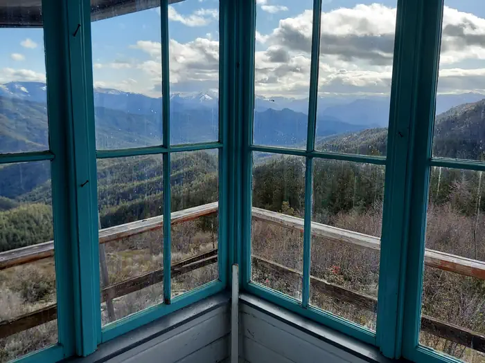
Acorn Woman Peak Lookout was constructed in 1942. It is an L-4 style cabin, and is on the National Historic Site Registry. The lookout is surrounded by glass windows on all sides, providing visitors with an unparalleled view of the steep drop-offs and breath-taking views of the rugged Siskiyou Mountains. This historic lookout is available for rent during the snow-free season with a maximum length of stay being 5 consecutive nights. Guests must bring most of their own amenities.
Check availability on Recreation.gov ↗
Site mix
| Fire lookouts | 1 |
Site guide
1 site. Tap a filter to narrow the list; the map follows.
| Site | Entry | Surface | People / vehicles | Rating |
|---|---|---|---|---|
| Acorn Woman Peak Lookout | Pull-through | Gravel | 4 / 2 | Preferred |
Per-site records as published by the managing agency on Recreation.gov. Blank cells mean the agency listed nothing for that site. Check-in 1:00 PM, checkout 12:00 PM.
Amenities & rules
| Pets | Allowed |
The 14 x 14 foot one room cabin is designed to house only one or two people, and offers a primitive camping experience. The room is equipped with a small wooden table, and the center of the building has a working Osborne Firefinder on its work table. Broom, mop, and fire extinguisher are on site, as well as a small storage box with toilet paper, forest and ranger district maps and information about the lookout and its surroundings. A primitive vault toilet is located near the lookout. No water is available on site, so guests must pack in water for drinking, cooking and washing. Guests must also provide their own camp stove, light source, sleeping bag, sleeping pad, towels, dish soap, matches, cooking gear, and garbage bags.
Individual sites vary. Confirm on Recreation.gov or with the managing office.
Weather by month
Getting there
Starting in Jacksonville, drive on Highway 238 west 8 miles to the town of Ruch. Turn left on Upper Applegate Road and proceed 10.2 miles to Forest Road 20, (Beaver Creek Road). Turn left and go 4.1 miles to the junction of Forest Road 20 and Forest Road 2010 (Hanley Gulch Road).
| Nearest town | Jacksonville, Oregon |
| Coordinates | 42.0697° N, 123.0119° W · Directions ↗ |
Fire nearby
- PrescribedPatterson Rx
48 mi from the campground
- PrescribedRx Long Prairie
50 mi from the campground · 112 acres
Distance is to the reported incident point, not the fire edge. Call the managing office before you drive.
Supplies & services
| Outdoor gear | Pacific Rack Outfitters ↗ | 17 mi |
| RV sales & service | Blue Compass RV ↗ | 17.5 mi |
| Dump station | Dump station ↗ | 21.1 mi |
Locations © OpenStreetMap contributors. Call ahead; hours change seasonally.
Explore
Worth a stop
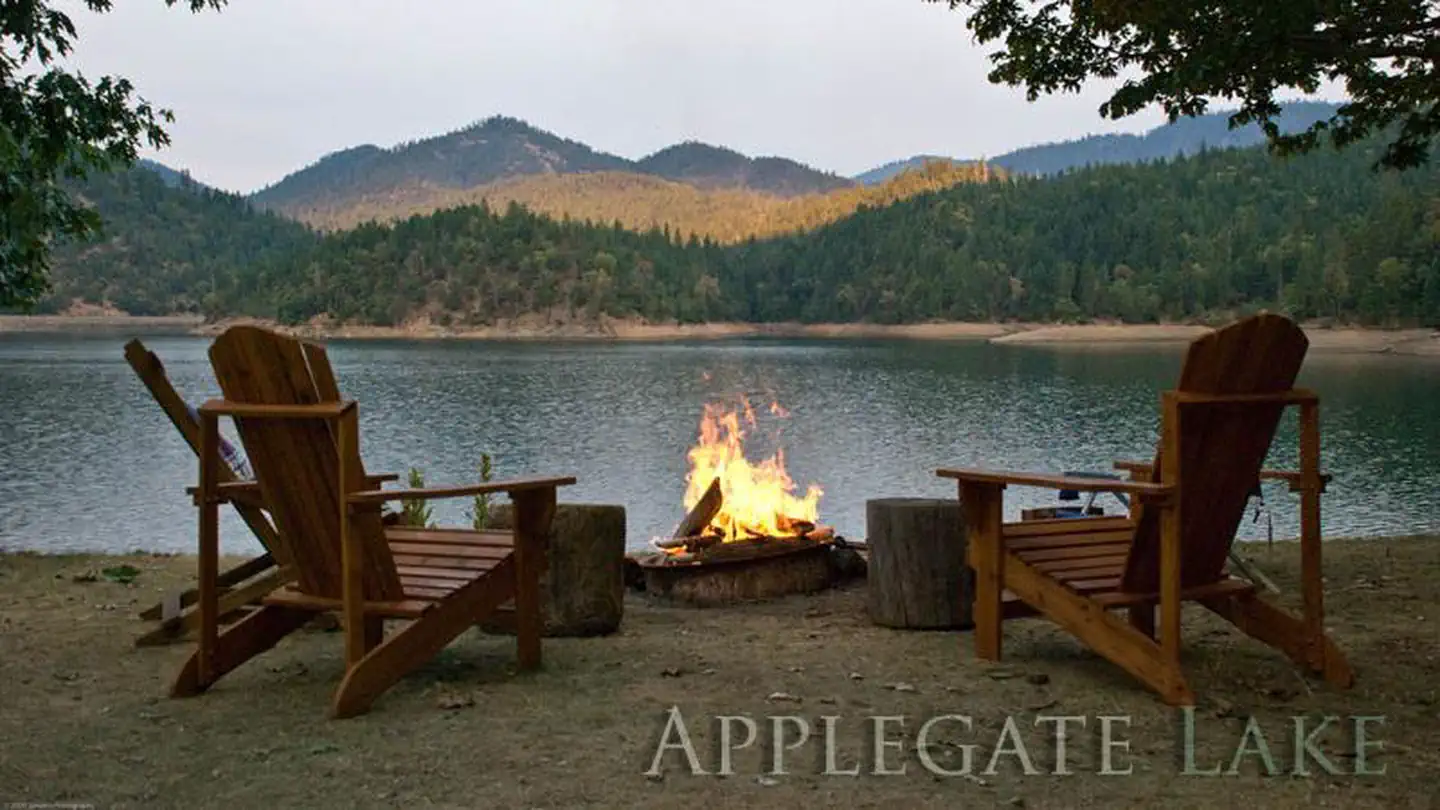
The United States Congress designated the Red Buttes Wilderness in 1984 and it now includes a total of 19,940 acres. Management of the Red Buttes Wilderness, located on the California/Oregon border, is shared by the Klamath National Forest and the Rogue River - Siskiyou National Forest. The majority of the Wilderness lies within the boundaries of the Rogue River-Siskiyou National Forest. Several lakes are accessible in the forest. Acorn Woman Peak looks south to Acorn Woman Lakes, a semi-primitive developed recreation area that accepts camping reservations from May through September. Applegate Lake is a large reservoir with boat ramps, campgrounds, viewpoints and a developed recreation area named Hart Tish. Both lakes are open for fishing year-round.
- 3 miLittle Grayback Lower Trailhead ↗Trailhead
- 3.9 miElliot Ridge Trailhead ↗Trailhead
- 8.2 miSeattle Bar Day Use ↗Day use
Trails nearby
- 0.7 miLittle Grayback4 mi trail · hiking, horse, bike, motorcycle and 1 more
- 1.3 miCharlie Buck/Baldy Peak2.9 mi trail · hiking, horse, bike
- 1.3 miMule Creek4.4 mi trail · hiking, horse, bike
- 1.8 miLittle Acorn Woman1.3 mi trail · hiking
- 2.3 miMule Mountain4 mi trail · hiking, horse, bike
- 2.5 miSummit Lake2.4 mi trail · hiking, horse, bike, motorcycle and 1 more
Trailheads within three miles
- 1.2 miLittle Grayback Upper Trailhead ↗Rogue River-Siskiyou National Forest · Season Spring
- 1.3 miMule Creek / Baldy Peak Trailhead ↗Rogue River-Siskiyou National Forest · Season Spring
- 2.5 miSummit Lake Trailhead ↗Rogue River-Siskiyou National Forest
- 3 miLittle Grayback Lower Trailhead ↗Rogue River-Siskiyou National Forest
Trail and trailhead records are the Forest Service's. Distances are straight-line to the nearer trail end. Trail conditions are not tracked here.
Public land it sits in
Red Buttes Wilderness begins about 12.2 miles away, and it is the closest of these.
- 12.2 miRed Buttes Wilderness ↗Wilderness · Forest Service · 20,130 acres
Each unit is published as a centre point and an acreage rather than a boundary, so this section stands it in for a circle of the same area. Whether a campground is inside, and how far it is from one it is outside, are both approximate.
Other campgrounds nearby
Cabin and lookout rentals nearby
On the National Register nearby
- Squaw Peak LookoutBuilding · Jacksonville · 0 mi
- McKee BridgeStructure · Ruch · 5 mi
- McKee Bridge CampgroundSite · Jacksonville · 5.1 mi
Natural features
From the lookout, guests are treated to expansive views of the Red Buttes Wilderness area, Acorn Woman Lake and the Little Applegate Valley. To the north are far views of the Rogue Valley and Mt. McLaughlin and to the east is Wagner Butte and Dutchman Peak. On a clear day, visitors can see the rim of Crater Lake, Mt. Bailey and Mt. Thielsen. Clear nights provide guests with a dazzling display of stars and planets.
Recreation
The lookout is also a prime spot for nature and scenic photography due to the stunning vistas provided. For visitors interested in astronomy, stargazing is a popular activity on clear nights.
Guidebooks for Oregon
We earn a small commission if you buy through these links. It does not change what we list.

Titles come from Open Library's catalog, matched by subject heading or by title.
Reference
Questions people ask
Do I need a reservation at Acorn Woman Peak Lookout?
Sites at Acorn Woman Peak Lookout are reservable on Recreation.gov. Any walk-up sites are listed on the booking page.
Source: Recreation.gov
What time is check-in at Acorn Woman Peak Lookout?
Check-in 1:00 PM, checkout 12:00 PM.
Source: Recreation.gov
How many sites does Acorn Woman Peak Lookout have?
1 site, including 1 lookout.
Source: Recreation.gov
Are pets allowed at Acorn Woman Peak Lookout?
Yes, pets are allowed at Acorn Woman Peak Lookout. Leash rules apply.
Source: Recreation.gov
Is there cell service at Acorn Woman Peak Lookout?
FCC coverage maps show AT&T 4G LTE at the campground point. Terrain changes that from one site to the next.
Source: FCC Broadband Map
What is there to do at Acorn Woman Peak Lookout?
The lookout is also a prime spot for nature and scenic photography due to the stunning vistas provided. The Recreation section on this page has the rest.
Source: Recreation
What is the nearest town to Acorn Woman Peak Lookout?
Jacksonville, Oregon. The United States Congress designated the Red Buttes Wilderness in 1984 and it now includes a total of 19,940 acres.
Source: Getting there
What if Acorn Woman Peak Lookout is full?
The nearest public campgrounds are Beaver Sulphur Group Campground (3.2 mi), Jackson Campground On The Applegate River (4.9 mi), and Flumet Flat Group Campground (5.1 mi).
Source: Campgrounds nearby