Beaver Sulphur Group Campground
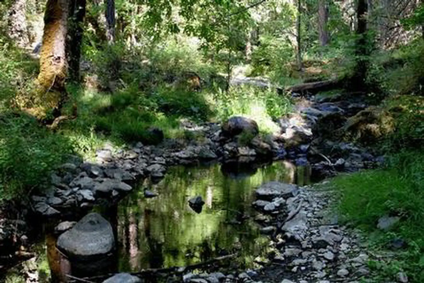
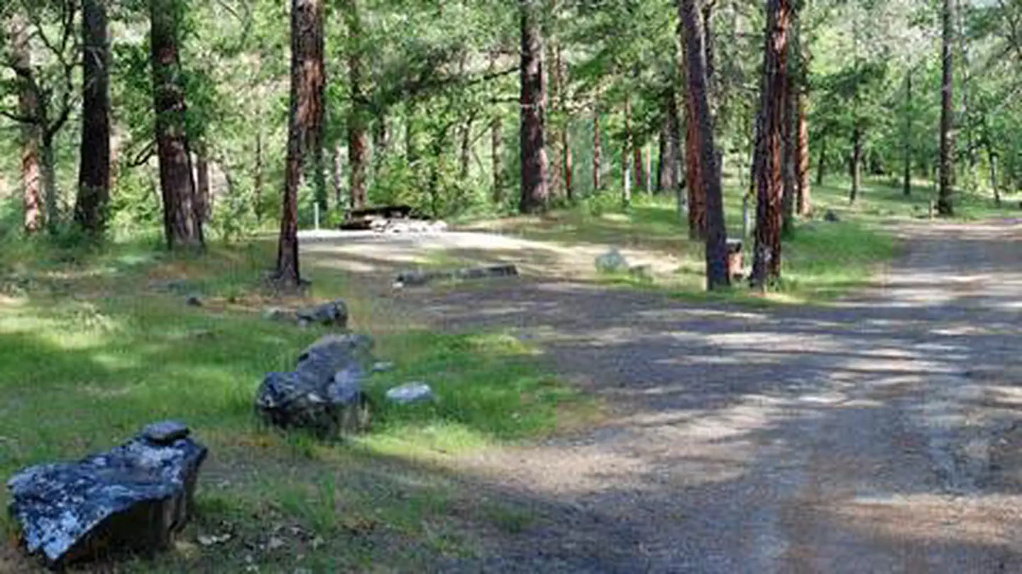
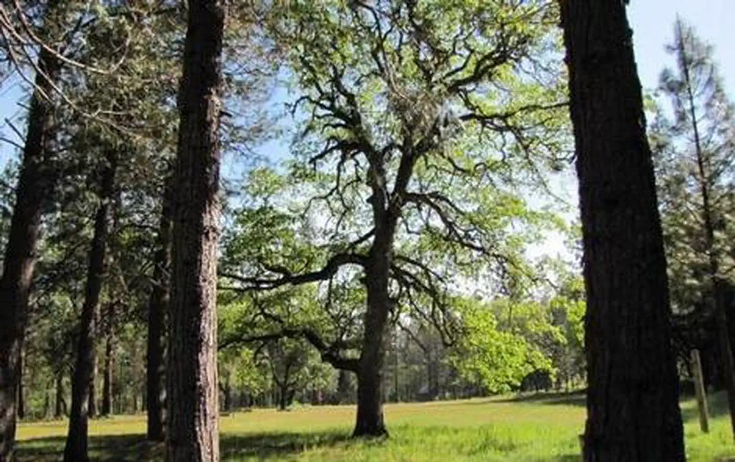
Nestled in the deep shade of a mixed-conifer forest on the banks of bubbling Beaver Creek, Beaver Sulphur Group Campground offers an ideal setting for groups and large family gatherings. Located in southwest Oregon in the Rogue River-Siskiyou National Forest, the campground's proximity to a hiking trails and scenic waterways provides visitors with access to a multitude of recreational activities.
More like this: reservable in Oregon · group sites in Oregon
Check availability on Recreation.gov ↗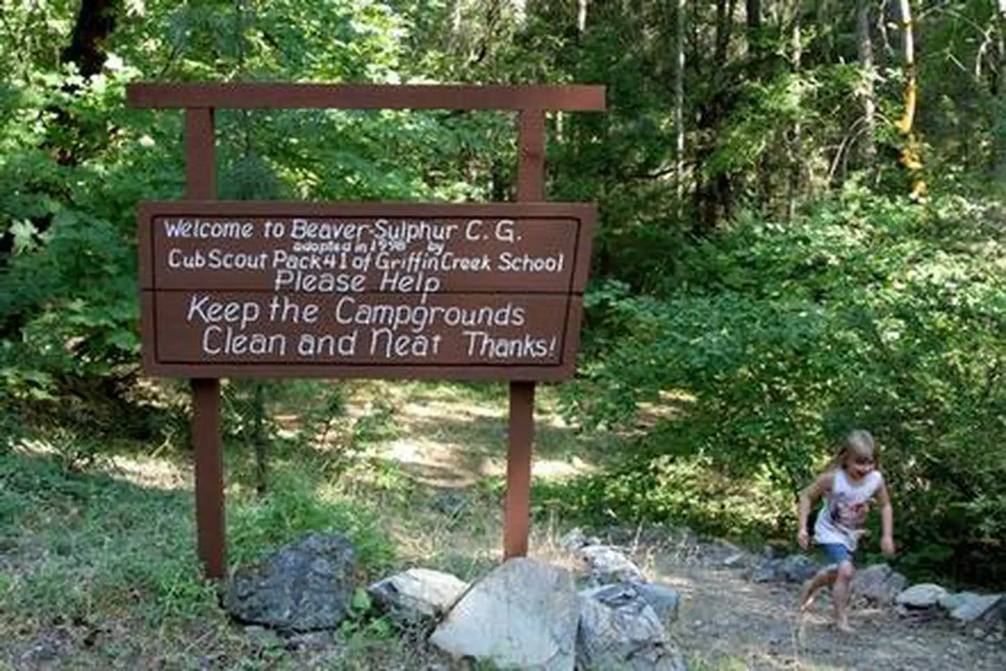
Site mix
| group standard area nonelectric | 1 |
Site guide
Will my RV fit
The longest site here provides 20 feet of vehicle capacity. Most sites are shorter.
1 site. Tap a filter to narrow the list; the map follows.
| Site | Entry | Fits, ft | Surface | Shade | People / vehicles |
|---|---|---|---|---|---|
| G01 | Pull-through | 20 | Gravel | Full | 30 / 15 |
Per-site records as published by the managing agency on Recreation.gov. Blank cells mean the agency listed nothing for that site. Check-in 4:00 PM, checkout 2:00 PM.
Amenities & rules
| Hookups | None |
| Max vehicle length | 20 ft |
| Equipment | RVs & trailers, Tents |
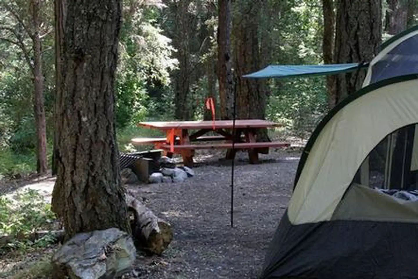
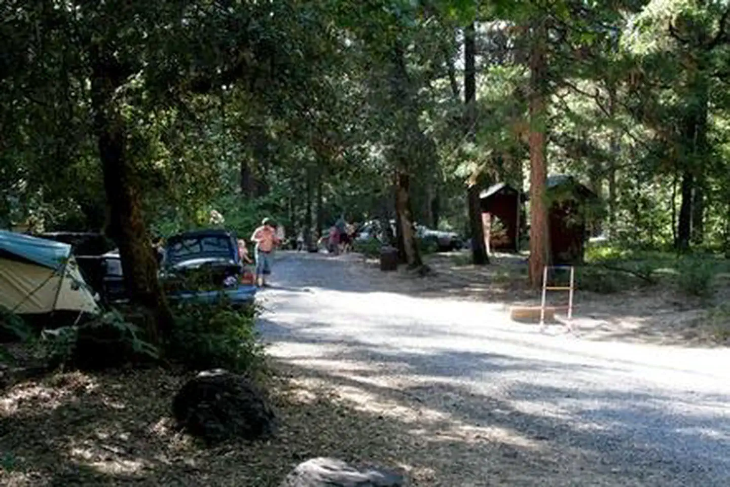
Beaver Sulphur Group Campground offers a large, reservable group site that has individual spurs for tents and trailers. The site is equipped with picnic tables, campfire rings and vault toilets.
Individual sites vary. Confirm on Recreation.gov or with the managing office.
Season & status
| Status | Open |
| Forest | Rogue River-Siskiyou National Forest |
| Booking | Reservation Information: Recreation.gov or telephone 1 (877) 444-6777 The left side loop (upstream side) is reservable. |
| Fees | $75/night for group campsite (NOTE: Entire campground must be rented out) |
| Rules | Quiet hours between 10 p.m. and 6 a.m. Campfires in developed fire pits only. Fireworks are prohibited. Dogs must be on leash. OHV/ATV use prohibited in the campground. Maximum length of stay: 14 days |
Weather by month
Getting there
From Jacksonville, OR, travel south 8 miles on Highway 238 to Ruch, OR, and turn left on to Upper Applegate Road (County Road 859). Continue approximately 8.5 miles and turn left on to Forest Road 20. Continue 3 miles to Beaver-Sulphur Campground, the entrance is on the right.
| Nearest town | Jacksonville, Oregon |
| Coordinates | 42.1127° N, 123.0334° W · Directions ↗ |
Fire nearby
- PrescribedRx Long Prairie
47 mi from the campground · 112 acres
- PrescribedPatterson Rx
50 mi from the campground
Distance is to the reported incident point, not the fire edge. Call the managing office before you drive.
Supplies & services
| RV sales & service | Blue Compass RV ↗ | 15.8 mi |
| Outdoor gear | Pacific Rack Outfitters ↗ | 16 mi |
| Dump station | Dump station ↗ | 21.1 mi |
Locations © OpenStreetMap contributors. Call ahead; hours change seasonally.
Explore
Video
Rock Creek Campground Sulphur Oklahoma Fall Camping!
Worth a stop
The United States Congress designated the Red Buttes Wilderness in 1984 and it now includes a total of 19,940 acres. Management of the Red Buttes Wilderness, located on the California/Oregon border, is shared by the Klamath National Forest and the Rogue River - Siskiyou National Forest. The majority of the Wilderness lies within the boundaries of the Rogue River-Siskiyou National Forest. Several lakes are accessible in the forest. Squaw Peak looks south to Squaw Lakes, a semi-primitive developed recreation area that accepts camping reservations from May through September. Applegate lake is a large reservoir with boat ramps, campgrounds, viewpoints and a developed recreation area named Hart tish. Both Squaw Lakes and Applegate lake are open for fishing year-round.
- 4.6 miLittle Grayback Lower Trailhead ↗Trailhead
- 6.2 miDagelma Trailhead ↗Trailhead
- 9.3 miSeattle Bar Day Use ↗Day use
Trails nearby
- 1.5 miMule Mountain4 mi trail · hiking, horse, bike
- 1.6 miCharlie Buck/Baldy Peak2.9 mi trail · hiking, horse, bike
- 2.7 miMule Creek4.4 mi trail · hiking, horse, bike
- 2.8 miGin Lin ↗0.5 mi trail · hiking · national_recreation_or_other
- 3.2 miLittle Grayback4 mi trail · hiking, horse, bike, motorcycle and 1 more
- 4.8 miLittle Acorn Woman1.3 mi trail · hiking
Trailheads within three miles
- 1.6 miCharlie Buck / Baldy Peak Trailhead ↗Rogue River-Siskiyou National Forest
- 2.6 miMule Creek / Baldy Peak Trailhead ↗Rogue River-Siskiyou National Forest · Season Spring
- 2.8 miGin Lin Mining Trailhead ↗Rogue River-Siskiyou National Forest · Season Year Round
- 3 miLittle Grayback Upper Trailhead ↗Rogue River-Siskiyou National Forest · Season Spring
Trail and trailhead records are the Forest Service's. Distances are straight-line to the nearer trail end. Trail conditions are not tracked here.
Public land it sits in
Red Buttes Wilderness begins about 12.8 miles away, and it is the closest of these.
- 12.8 miRed Buttes Wilderness ↗Wilderness · Forest Service · 20,130 acres
Each unit is published as a centre point and an acreage rather than a boundary, so this section stands it in for a circle of the same area. Whether a campground is inside, and how far it is from one it is outside, are both approximate.
Other campgrounds nearby
Cabin and lookout rentals nearby

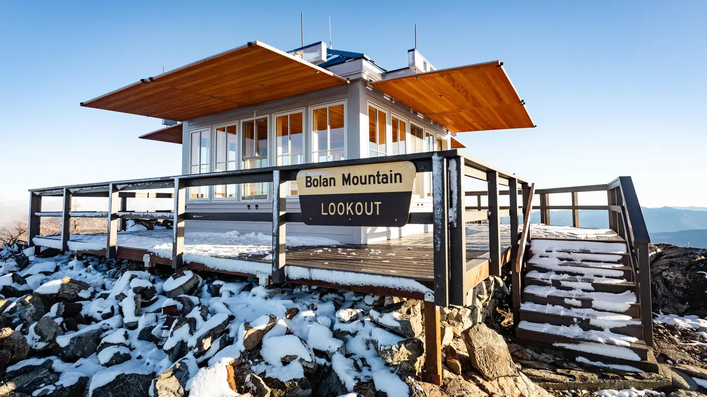
On the National Register nearby
- McKee BridgeStructure · Ruch · 2.2 mi
- McKee Bridge CampgroundSite · Jacksonville · 2.2 mi
- Star Ranger StationBuilding · Ruch · 2.9 mi
Natural features
The unique character of the landscapes comprising the Rogue River-Siskiyou National Forest has led to the designation of over 340,000 acres of the forest as Wilderness, and over 200 miles of streams as National Wild and Scenic Rivers. The forest itself is composed of two distinct geological provinces, the Cascade Range and the Siskiyou Mountains. The Cascade Range is dominated by snow-capped volcanic peaks, such as 9,495 foot Mt. McLoughlin, located within the Sky Lakes Wilderness. The Siskiyou area embodies the most complex and treasured plant communities in the Pacific Northwest. World-class wild rivers, biological diversity, remarkable fisheries resources and complex watersheds define the Siskiyou. Diverse landscapes provide habitat for a wide-range of wildlife, from spotted owls and bull elk to salamanders and sandhill cranes.
Recreation
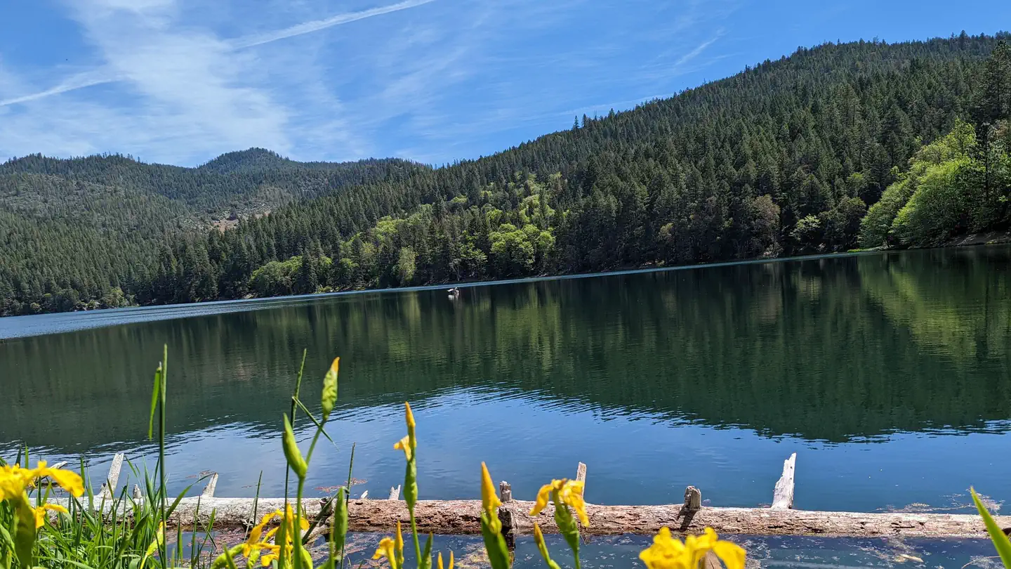
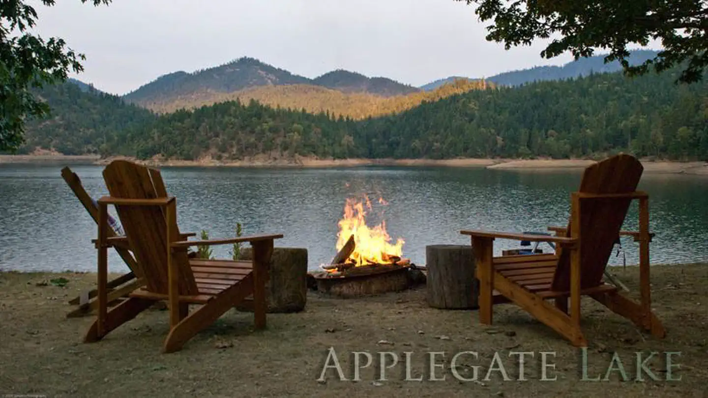
Beaver Sulphur Group Campground offers outdoor enthusiasts the opportunity to hike, fish, hunt and enjoy a multitude of outdoor activities throughout the year. A handful of hiking trails are accessible from the campground and in the surrounding areas. The nearby Mule Mountain Trail offers a special opportunity to access the hillsides above Applegate Valley and witness the seasonal changes in wildlife activity. It is a long-distance hike, winding up and around the arid ridges of the Oregon Siskiyous. In the spring, dwarf star tulips, lilies, shooting stars, larkspurs and buttercups puncture the needle and leaf mat and adorn the grass floor. Nearby Applegate Lake is a popular recreation lake, located north of the spectacular Red Buttes Wilderness Area. The lake is popular for swimming, cycling, boating, canoeing, fishing and hiking the various trails near the lake.
Guidebooks for Oregon
We earn a small commission if you buy through these links. It does not change what we list.

Titles come from Open Library's catalog, matched by subject heading or by title.
Reference
Questions people ask
Do I need a reservation at Beaver Sulphur Group Campground?
Sites at Beaver Sulphur Group Campground are reservable on Recreation.gov. Reservation Information: Recreation.gov or telephone 1 (877) 444-6777 The left side loop (upstream side) is reservable. Any walk-up sites are listed on the booking page.
Source: Recreation.gov
How much does it cost to camp at Beaver Sulphur Group Campground?
$75/night for group campsite (NOTE: Entire campground must be rented out)
Source: Recreation.gov
What time is check-in at Beaver Sulphur Group Campground?
Check-in 4:00 PM, checkout 2:00 PM.
Source: Recreation.gov
Is Beaver Sulphur Group Campground open right now?
Open as of Oct 16, 2026.
Source: Forest Service status
How many sites does Beaver Sulphur Group Campground have?
1 site, including 1 group standard area nonelectric.
Source: Recreation.gov
Will my RV fit at Beaver Sulphur Group Campground?
The longest site here provides 20 feet of vehicle capacity. Most sites are shorter. The sidebar tool checks a trailer or motorhome length against every site.
Source: Will my RV fit
What is there to do at Beaver Sulphur Group Campground?
Beaver Sulphur Group Campground offers outdoor enthusiasts the opportunity to hike, fish, hunt and enjoy a multitude of outdoor activities throughout the year. The Recreation section on this page has the rest.
Source: Recreation
What is the nearest town to Beaver Sulphur Group Campground?
Jacksonville, Oregon. The United States Congress designated the Red Buttes Wilderness in 1984 and it now includes a total of 19,940 acres.
Source: Getting there
What if Beaver Sulphur Group Campground is full?
The nearest public campgrounds are Jackson Campground On The Applegate River (2.8 mi), Flumet Flat Group Campground (2.8 mi), and Acorn Woman Lakes (4.7 mi).
Source: Campgrounds nearby