Bolan Mountain Lookout
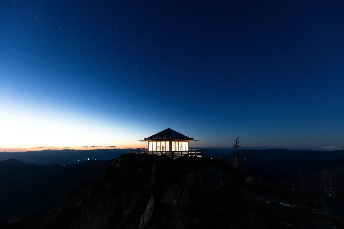
In 2024, the Siskiyou Mountain Club partnered with the US Forest Service to rebuild the Bolan Mountain Lookout after it burned down in the Slater fire in 2020. The historic lookout is available for rent during the snow-free season with a maximum length of stay being 3 consecutive nights, and guests must bring several of their own amenities.
Check availability on Recreation.gov ↗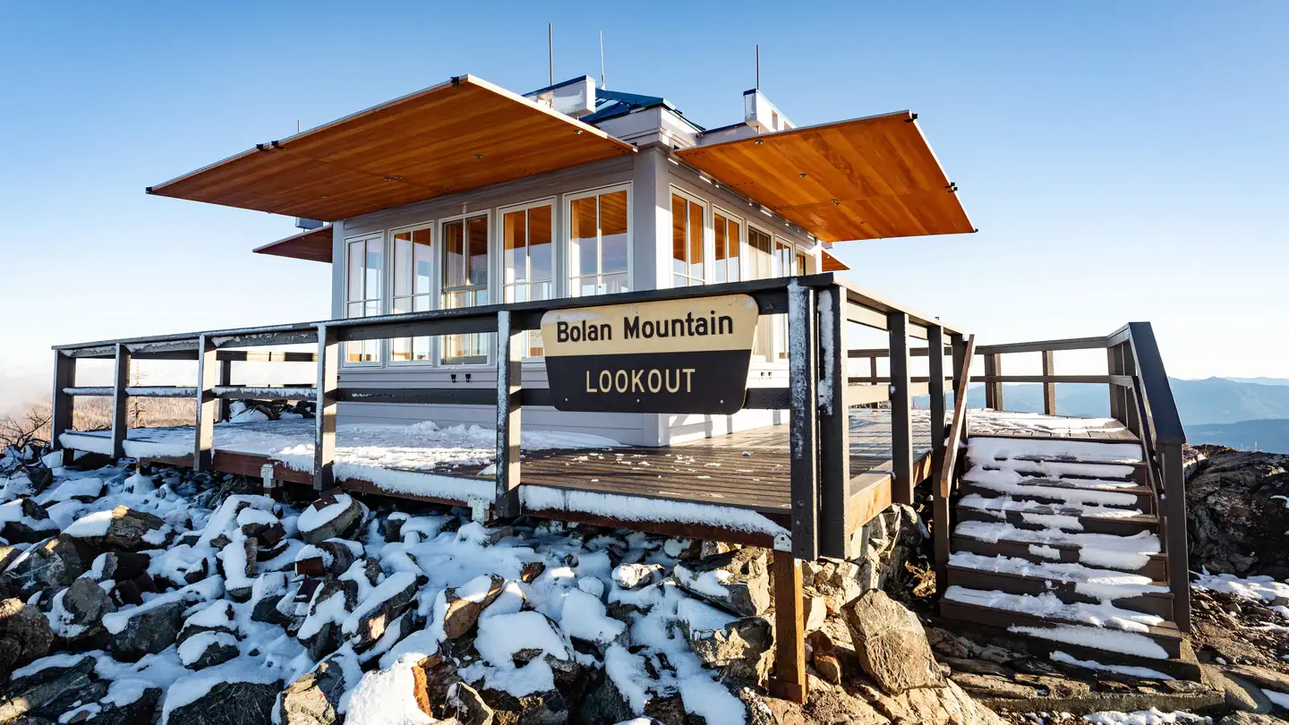


Site mix
| Cabins | 1 |
Site guide
1 site. Tap a filter to narrow the list; the map follows.
| Site | Surface | Water / sewer | People / vehicles | Fires |
|---|---|---|---|---|
| C01 | Gravel | No / No | 4 / – | No |
Per-site records as published by the managing agency on Recreation.gov. Blank cells mean the agency listed nothing for that site. Check-in 2:00 PM, checkout 12:00 PM.
Amenities & rules
The 14 x 14 foot one room cabin is designed to house a maximum of four people, and offers a primitive camping experience. The 30 to 40 steps up to the lookout are steep and uneven, so visitors should use caution when climbing to the main cabin. The room is equipped with a table, two chairs, a single bed with pad that folds out into two twins, cleaning supplies and a fire extinguisher. A vault toilet is located near the lookout. No water is available on site, so guests must pack in water for drinking, cooking and washing. Guests must also provide their own camp stove, light source, sleeping bag, towels, dish soap, matches, cooking gear, toilet paper and garbage bags.
Individual sites vary. Confirm on Recreation.gov or with the managing office.
Weather by month
Getting there
From Cave Junction, OR, travel south on Highway 199 6.4 miles to the Happy Camp Road (Forest Service Road 48). Turn left and travel 17.3 miles on Happy Camp Road (FSR 48) to the junction with Forest Road 4812. Turn left and travel 4.1 miles to the junction of Forest Road 4812-040, the road to Bolan Lake Campground.
| Nearest town | Cave Junction, Oregon |
| Coordinates | 42.0162° N, 123.4594° W · Directions ↗ |
Fire nearby
- PrescribedPatterson Rx
37 mi from the campground
- PrescribedRoots & Shoots Rx: Or
49 mi from the campground
- PrescribedSrf 2026 Rx Implementation
50 mi from the campground · 500 acres
Distance is to the reported incident point, not the fire edge. Call the managing office before you drive.
Supplies & services
| Dump station | Dump station ↗ | 31.6 mi |
| Outdoor gear | Sawyer Station Paddles and Oars ↗ | 35.5 mi |
| RV sales & service | Blue Compass RV ↗ | 37.2 mi |
Locations © OpenStreetMap contributors. Call ahead; hours change seasonally.
Explore
Worth a stop
Oregon Caves National Monument Discover the "Marble Halls of Oregon" nestled deep inside the Siskiyou Mountains. The caves formed as rainwater from the ancient forest above dissolved the surrounding marble and created one of the world's few marble caves. The highly complex geology found at the Monument contributes to the unusual and rare plants and animals found nowhere else but here. Experience the extensively decorated and adventurous "Marble Halls of Oregon." Kalmiopsis Wilderness Kalmiopsis Wilderness is a wilderness area in the Siskiyou Mountains of southwestern Oregon, within the Rogue River-Siskiyou National Forest. It was designated wilderness by the United States Congress in 1964 and now comprises a total of 179,755 acres. There are approximately 153 miles of trails on 24 established hiking trails in the area. The Kalmiopsis Wilderness was named for Kalmiopsis leachiana, a slow-growing plant related to the rhododendron, which was discovered in the area in 1930. Red Buttes Wilderness The Unites States Congress designated the Red Buttes Wilderness in 1984 - it now includes a total of 19,940 acres.
- 5.5 miLimestone Trailhead ↗Trailhead
- 7.2 miSturgis Trailhead ↗Trailhead
Trails nearby
- 0.1 miBolan Lake0.8 mi trail · hiking, horse, bike
- 0.5 miKings Saddle1.5 mi trail · hiking, horse, bike
- 2.3 miTanner Lake3.2 mi trail · hiking, horse
- 2.6 miTanner Tie0.1 mi trail · hiking, horse
- 3.7 miSucker Creek Tie1.9 mi trail · hiking, horse
- 3.8 miFehley Gulch1.3 mi trail · hiking, horse
Trailheads within three miles
- 0.5 miBolan Trailhead ↗Rogue River-Siskiyou National Forest
- 2.3 miTannen Lakes Trailhead ↗Rogue River-Siskiyou National Forest
Trail and trailhead records are the Forest Service's. Distances are straight-line to the nearer trail end. Trail conditions are not tracked here.
Public land it sits in
Rogue River-Siskiyou National Forests begins about 3.9 miles away, and it is the closest of these.
- 3.9 miRogue River-Siskiyou National Forests ↗National Forest · Forest Service · 1,852,705 acres
- 6.6 miRed Buttes Wilderness ↗Wilderness · Forest Service · 20,130 acres
Each unit is published as a centre point and an acreage rather than a boundary, so this section stands it in for a circle of the same area. Whether a campground is inside, and how far it is from one it is outside, are both approximate.
Other campgrounds nearby



Cabin and lookout rentals nearby

On the National Register nearby
- Cedar Guard Station No. 1019Building · Cave Junction · 8.7 mi
- Logan Wash DitchStructure · Cave Junction · 8.9 mi
- Allen Gulch TownsiteSite · Cave Junction · 9.2 mi
Natural features
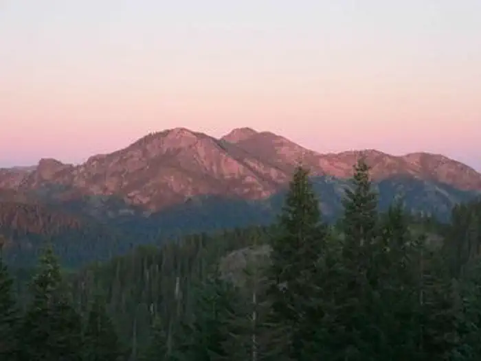
From the lookout, guests are treated to expansive views of the Red Buttes and Siskiyou Wilderness areas, Preston Peak and Bolan Lake. To the north are far views of the Kalmiopsis Wilderness and the Illinois River Valley. On a clear day, even Mount Shasta is visible to the southeast. Bolan Lake is a 12 acre, high mountain lake with a shoreline of Douglas fir, pine and hemlock. A dip in the cool waters provides much needed relief from a hot summer day. Clear nights provide guests with a dazzling display of stars and planets.
Recreation
Hikers may enjoy spending a day hiking the Bolan Lake Trail down to Bolan Lake. Hemmed in by conifer forest, the lake is stocked with trout, and is an ideal setting to enjoy fishing, non-motorized boating such as kayaking or picnicking at its banks. The lookout is also a prime spot for nature and scenic photography due to the stunning vistas provided. For visitors interested in astronomy, Stargazing is a popular activity on clear nights.
Guidebooks for Oregon
We earn a small commission if you buy through these links. It does not change what we list.

Titles come from Open Library's catalog, matched by subject heading or by title.
Reference
Questions people ask
Do I need a reservation at Bolan Mountain Lookout?
Sites at Bolan Mountain Lookout are reservable on Recreation.gov. Any walk-up sites are listed on the booking page.
Source: Recreation.gov
What time is check-in at Bolan Mountain Lookout?
Check-in 2:00 PM, checkout 12:00 PM.
Source: Recreation.gov
How many sites does Bolan Mountain Lookout have?
1 site, including 1 cabin.
Source: Recreation.gov
Is there cell service at Bolan Mountain Lookout?
FCC coverage maps show T-Mobile 4G LTE at the campground point. Terrain changes that from one site to the next.
Source: FCC Broadband Map
What is there to do at Bolan Mountain Lookout?
Hikers may enjoy spending a day hiking the Bolan Lake Trail down to Bolan Lake. The Recreation section on this page has the rest.
Source: Recreation
What is the nearest town to Bolan Mountain Lookout?
Cave Junction, Oregon. Oregon Caves National Monument Discover the "Marble Halls of Oregon" nestled deep inside the Siskiyou Mountains.
Source: Getting there
What if Bolan Mountain Lookout is full?
The nearest public campgrounds are Bolan Lake Campground (0.5 mi), West Branch Campground (5.9 mi, first-come), and Chinquapin Group Campground (8.6 mi).
Source: Campgrounds nearby