Primitive Campsites At Cedar Mesa Campground
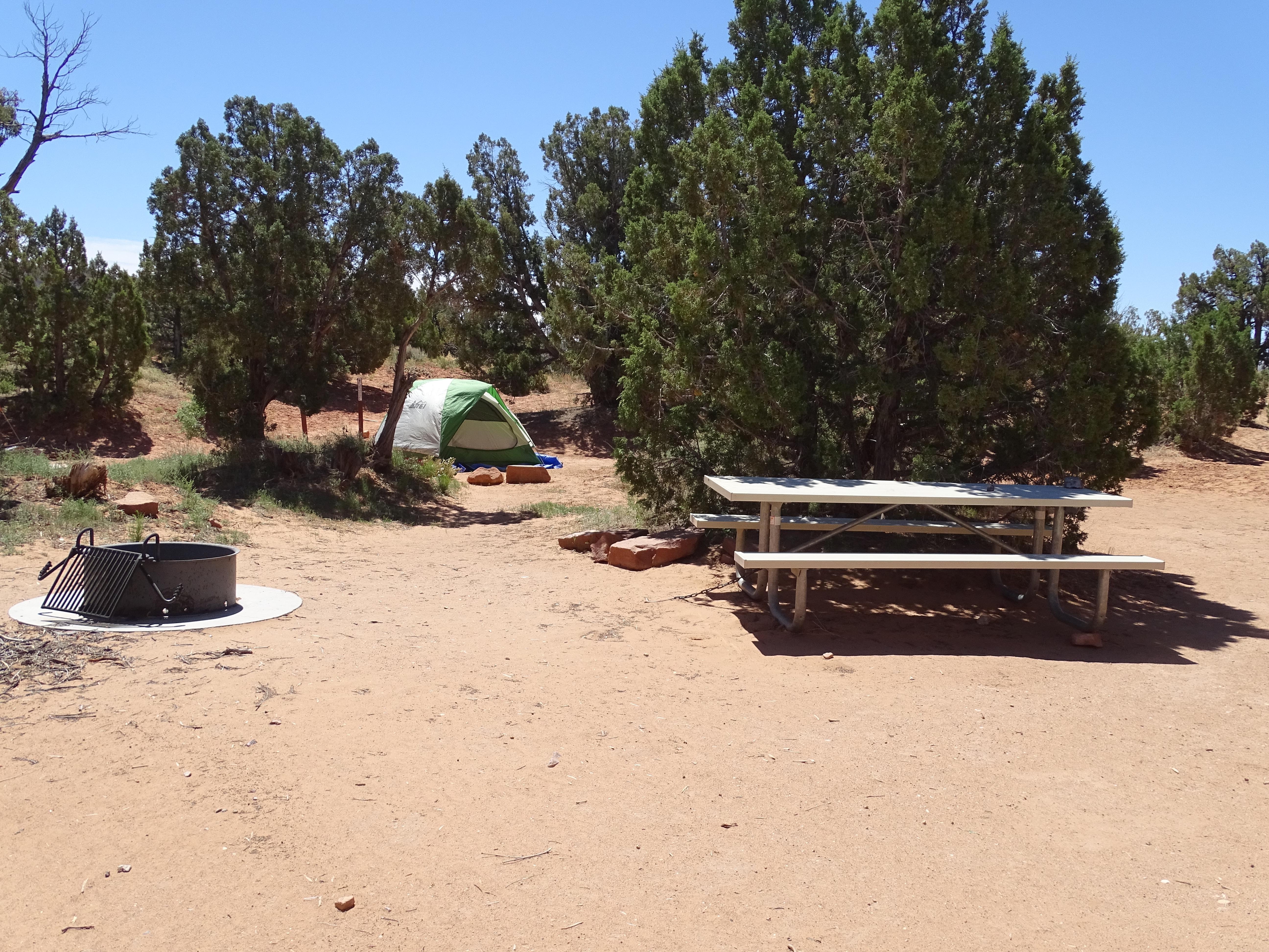
It is located approximately 23 miles (37.0 km) south of Utah State Highway 24 on the Notom-Bullfrog Road and is at 5,500 feet (1,676 m) in elevation. This primitive, no-fee campground has five sites, each with a picnic table and fire grate. There is also a pit toilet, but no water is available. The campground is open year-round, but visitors should check with the Capitol Reef Visitor Center for road conditions prior to planning an overnight stay.
More like this: first-come in Utah · dark sky in Utah
Site map
5 campsite locations mapped by OpenStreetMap contributors. The site numbers are theirs and may not match the posts at the campground. Map data © OpenStreetMap contributors, ODbL.
Amenities & rules
| Dark sky | Inside Capitol Reef National Park, a certified International Dark Sky Park |
Individual sites vary. Confirm on Recreation.gov or with the managing office.
Weather by month
Getting there
The campground is located approximately 23 miles (37.0 km) south of Utah State Highway 24 on the Notom-Bullfrog Road and is at 5,500 feet (1,676 m) in elevation. The Notom-Bullfrog Road is paved for approximately 15 miles south of the highway then it turns to dirt. The road condition varies and a high clearance vehicle is usually needed.
| Nearest town | Torrey, Utah |
| Coordinates | 38.0073° N, 111.0846° W · Directions ↗ |
Supplies & services
| Dump station | Dump station ↗ | 20.9 mi |
| Outdoor gear | Escalante Outfitters ↗ | 32.8 mi |
Locations © OpenStreetMap contributors. Call ahead; hours change seasonally.
Explore
Public land it sits in
Grand Staircase–Escalante National Monument begins about 12.5 miles away, and it is the closest of these.
- 12.5 miGrand Staircase–Escalante National Monument ↗National Monument · Bureau of Land Management · 181,425 acres
Each unit is published as a centre point and an acreage rather than a boundary, so this section stands it in for a circle of the same area. Whether a campground is inside, and how far it is from one it is outside, are both approximate.
Other campgrounds nearby



On the National Register nearby
- Oak Creek DamStructure · Torrey · 6 mi
- Pioneer RegisterSite · Torrey · 14.7 mi
Guidebooks for Capitol Reef National Park
We earn a small commission if you buy through these links. It does not change what we list.
Titles come from Open Library's catalog, matched by subject heading or by title.
Reference
Questions people ask
Do I need a reservation at Primitive Campsites At Cedar Mesa Campground?
No. Primitive Campsites At Cedar Mesa Campground is first-come, first-served. Sites are taken on arrival and paid at the fee station.
Source: Primitive campsites at Cedar Mesa Campground Official Website
How many sites does Primitive Campsites At Cedar Mesa Campground have?
5 sites.
Source: Primitive campsites at Cedar Mesa Campground Official Website
Is Primitive Campsites At Cedar Mesa Campground good for stargazing?
Yes. Primitive Campsites At Cedar Mesa Campground sits inside Capitol Reef National Park, a certified International Dark Sky Park.
Source: DarkSky International
What is the nearest town to Primitive Campsites At Cedar Mesa Campground?
Torrey, Utah.
Source: Getting there
What if Primitive Campsites At Cedar Mesa Campground is full?
The nearest public campgrounds are Lower Bowns (12.5 mi), Mcmillan Spring Campground (13.6 mi, first-come), and Rosebud ATV (14.6 mi).
Source: Campgrounds nearby
Which national park is Primitive Campsites At Cedar Mesa Campground in?
Primitive Campsites At Cedar Mesa Campground is a Capitol Reef National Park campground. Entrance fees, alerts, and hours are on Park Atlas.
Source: Capitol Reef National Park