Equestrian Campground
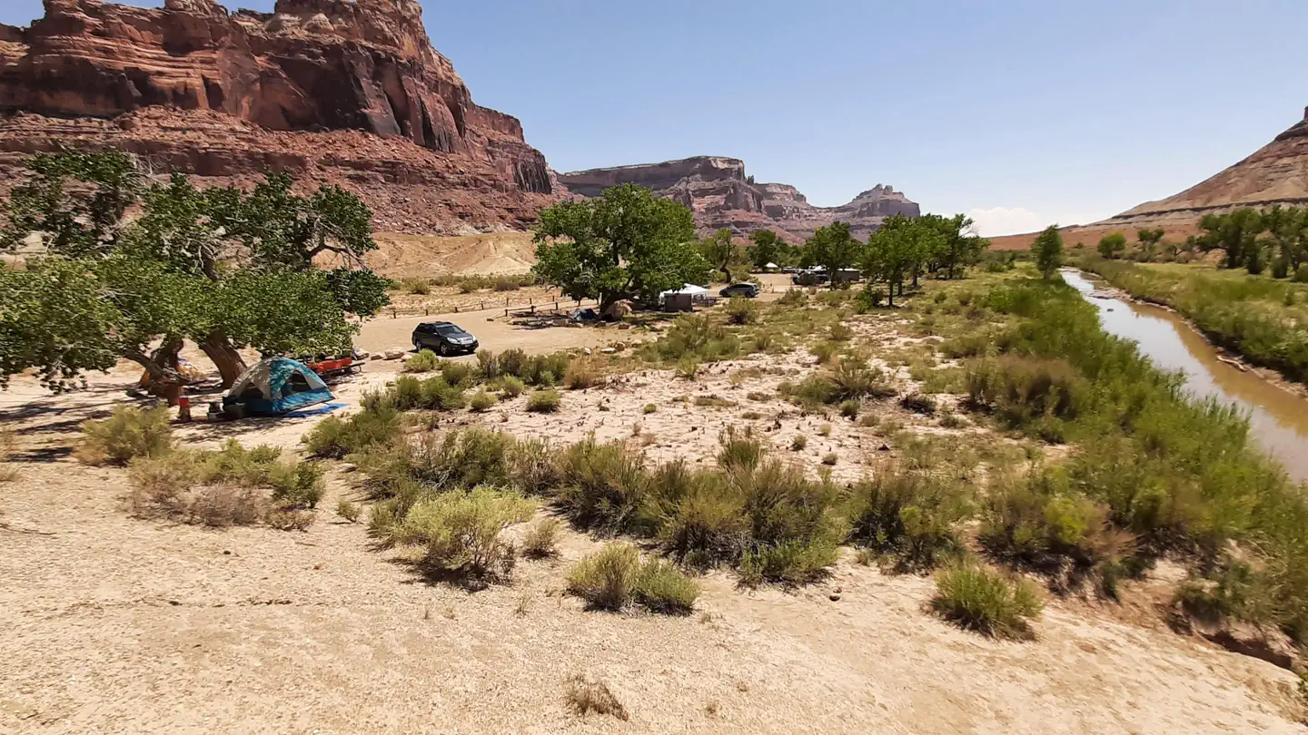
Located just a few hundred yards downstream of the San Rafael campground, this was built by equestrians for equestrians. Six campsites with pullouts to accommodate vehicle and horse trailer surround a central holding pen with 3 separate stalls.
More like this: first-come in Utah

Site map
7 campsite locations mapped by OpenStreetMap contributors. The site numbers are theirs and may not match the posts at the campground. Map data © OpenStreetMap contributors, ODbL.
Weather by month
Getting there
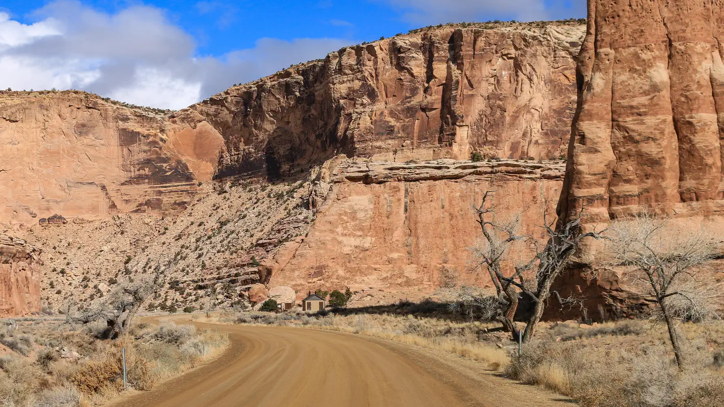
The campground is located along the San Rafael River at the southern end of Buckhorn Draw. Pleas contact the Price Field Office for driving directions.
| Nearest town | Price, Utah |
| Coordinates | 39.0801° N, 110.6618° W · Directions ↗ |
Fire nearby
- WildfireSlough Canyon
44 mi from the campground · 4,774 acres · 80% contained
- PrescribedSalina Canyon East Rx
50 mi from the campground · 17,375 acres
Distance is to the reported incident point, not the fire edge. Call the managing office before you drive.
Supplies & services
| Dump station | Dump station ↗ | 26.5 mi |
| RV sales & service | RV sales & service ↗ | 42.1 mi |
Locations © OpenStreetMap contributors. Call ahead; hours change seasonally.
Explore
Worth a stop
- 1.3 miSwinging Bridge Trailhead ↗Trailhead
- 6.6 miUpper Black Box Trailhead ↗Trailhead
- 6.7 mi
Public land it sits in
Mexican Mountain Wilderness begins about 1.7 miles away, and it is the closest of these.
- 1.7 miMexican Mountain Wilderness ↗Wilderness · Bureau of Land Management · 76,413 acres
- 3 miSid's Mountain Wilderness ↗Wilderness · Bureau of Land Management · 49,130 acres
- 12.7 miCold Wash Wilderness ↗Wilderness · Bureau of Land Management · 11,001 acres
Each unit is published as a centre point and an acreage rather than a boundary, so this section stands it in for a circle of the same area. Whether a campground is inside, and how far it is from one it is outside, are both approximate.
Other campgrounds nearby


On the National Register nearby
- San Rafael BridgeStructure · Castle Dale · 0.1 mi
- Denver and Rio Grande Lime KilnStructure · Cleveland · 7.8 mi
Guidebooks for Utah
We earn a small commission if you buy through these links. It does not change what we list.


Titles come from Open Library's catalog, matched by subject heading or by title.
Reference
Questions people ask
Do I need a reservation at Equestrian Campground?
No. Equestrian Campground is first-come, first-served. Sites are taken on arrival and paid at the fee station.
Source: How first-come camping works
How many sites does Equestrian Campground have?
11 sites.
Source: Site mix
What is the nearest town to Equestrian Campground?
Price, Utah.
Source: Getting there
What if Equestrian Campground is full?
The nearest public campgrounds are San Rafael Swinging Bridge Campground (0.2 mi), Sids Mountain Wilderness - The Wedge (5.3 mi, first-come), and Buckhorn Draw (7.4 mi).
Source: Campgrounds nearby