San Rafael Swinging Bridge Campground
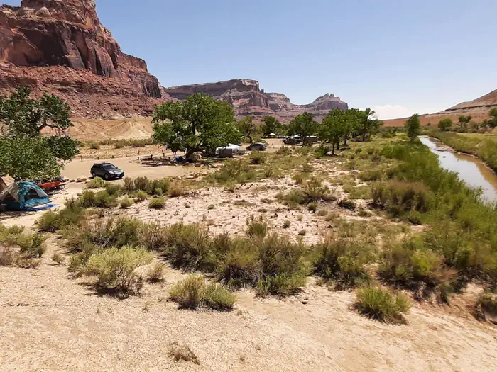
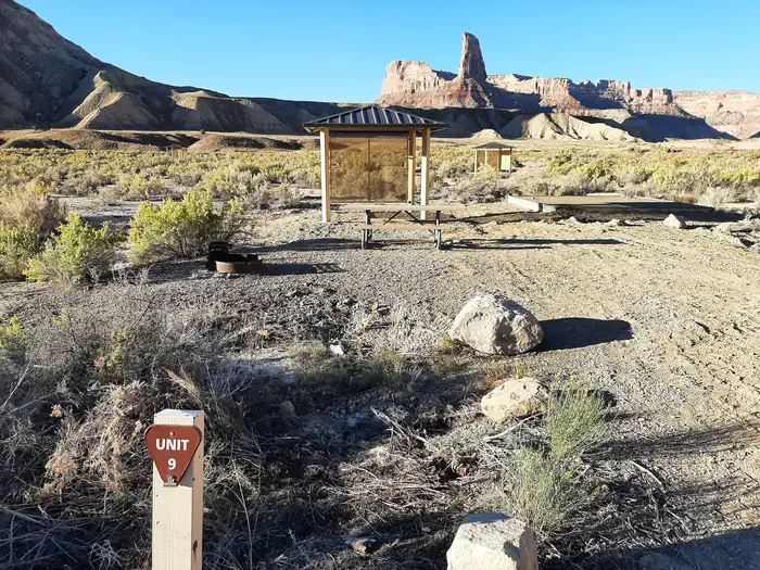
These campgrounds are located just outside the South end of Buckhorn Draw where Buckhorn Wash converges with the San Rafael River. Uniquely in the heart of the Northern San Rafael Swell and part of the San Rafael Recreation Area. The San Rafael River is adjacent to these campgrounds and separates Swinging Bridge North and the Equestrian Campground from Swinging Bridge South. The historic San Rafae There are three different campground loops at this location: Swinging Bridge North, the Equestrian Loop and Swinging Bridge South. All three loops have tent pads, picnic tables, toilets, parking areas and fire rings.
More like this: reservable in Utah · pets allowed in Utah · group sites in Utah
Check availability on Recreation.gov ↗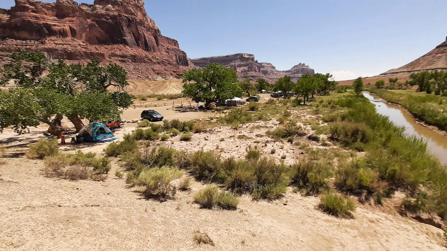

Site mix
| Standard, no hookups | 22 |
| group shelter nonelectric | 1 |
| Host/management | 1 |
Site guide
23 sites in 3 loops. Tap a filter to narrow the list; the map follows.
| Site | Loop | Type | Entry | Fits, ft | Surface | Water / sewer | Waterfront | People / vehicles | Fires |
|---|---|---|---|---|---|---|---|---|---|
| 07 | Equestrian Loop | Standard | Back-in | 45 | Gravel | No / – | Riverfront | 10 / 2 | Yes |
| 08 | Equestrian Loop | Standard | Back-in | 45 | Gravel | No / – | Riverfront | 10 / 2 | Yes |
| 09 | Equestrian Loop | Standard | Back-in | 45 | Gravel | No / – | Riverfront | 10 / 2 | Yes |
| 10 | Equestrian Loop | Standard | Back-in | 45 | Gravel | No / – | Riverfront | 10 / 2 | Yes |
| 11 | Equestrian Loop | Standard | Back-in | 45 | Gravel | No / – | Riverfront | 10 / 2 | Yes |
| 12 | Equestrian Loop | Standard | Back-in | 45 | Gravel | No / – | Riverfront | 10 / 2 | Yes |
| 01 | North Loop | Standard | Back-in | 45 | Gravel | No / – | Riverfront | 10 / 2 | Yes |
| 02 | North Loop | Standard | Back-in | 45 | Gravel | No / – | Riverfront | 10 / 2 | Yes |
| 03 | North Loop | Standard | Back-in | 45 | Gravel | No / – | Riverfront | 10 / 2 | Yes |
| 04 | North Loop | Standard | Back-in | 45 | Gravel | No / – | Riverfront | 10 / 2 | Yes |
Per-site records as published by the managing agency on Recreation.gov. Blank cells mean the agency listed nothing for that site.
16 campsite locations mapped by OpenStreetMap contributors. The site numbers are theirs and may not match the posts at the campground. Map data © OpenStreetMap contributors, ODbL.
Amenities & rules
| Hookups | None |
| Equipment | RVs & trailers, Tents |
| Pets | Allowed |
| Campfires | Allowed, subject to restrictions |
Individual sites vary. Confirm on Recreation.gov or with the managing office.
Weather by month
Getting there
| Nearest town | Price, Utah |
| Coordinates | 39.0789° N, 110.6647° W · Directions ↗ |
Good to know
- This trail is not maintained.
Fire nearby
- WildfireSlough Canyon
44 mi from the campground · 4,774 acres · 80% contained
- PrescribedSalina Canyon East Rx
50 mi from the campground · 17,375 acres
Distance is to the reported incident point, not the fire edge. Call the managing office before you drive.
Supplies & services
| Dump station | Dump station ↗ | 26.7 mi |
| RV sales & service | RV sales & service ↗ | 42.1 mi |
Locations © OpenStreetMap contributors. Call ahead; hours change seasonally.
Explore
Video
Swinging Bridge Campground North & South, UT
Worth a stop
Nearby attractions include: The historic San Rafael Swinging Bridge for which the campgrounds are named. Access to the southern trail head for the Little Grand Canyon hiking trail (a 17-mile point to point hiking trail with numerous river crossings). Assembly Hall Peak and Window Blind Peak which are located to the south east and can be viewed from all three campgrounds. Bottle Neck Peak which is a few minute drive south along the Buck Horn Wash road located on the west side. Mexican Mountain Road the entry road for the North and Equestrian Campgrounds is 30 mile out and back, semi-primitive dirt road (4WD and high clearance advised) leading to primitive hiking trails, rock climbing routes and technical canyoneering routes. Buck Horn Draw which contains: Native American rock art; the Cow, Calf and Pine Canyon hiking trails; the Buckhorn Dinosaur Track; Furniture Draw, a non-technical entry level slot canyon; numerous rock climbing routes; and the MK Tunnels (1950's Cold War explosive test sites).
- 1.1 miSwinging Bridge Trailhead ↗Trailhead
- 6.6 miUpper Black Box Trailhead ↗Trailhead
- 6.8 mi
Public land it sits in
Mexican Mountain Wilderness begins about 1.8 miles away, and it is the closest of these.
- 1.8 miMexican Mountain Wilderness ↗Wilderness · Bureau of Land Management · 76,413 acres
- 2.8 miSid's Mountain Wilderness ↗Wilderness · Bureau of Land Management · 49,130 acres
- 12.5 miCold Wash Wilderness ↗Wilderness · Bureau of Land Management · 11,001 acres
Each unit is published as a centre point and an acreage rather than a boundary, so this section stands it in for a circle of the same area. Whether a campground is inside, and how far it is from one it is outside, are both approximate.
Other campgrounds nearby



On the National Register nearby
- San Rafael BridgeStructure · Castle Dale · 0.2 mi
- Denver and Rio Grande Lime KilnStructure · Cleveland · 7.8 mi
Natural features
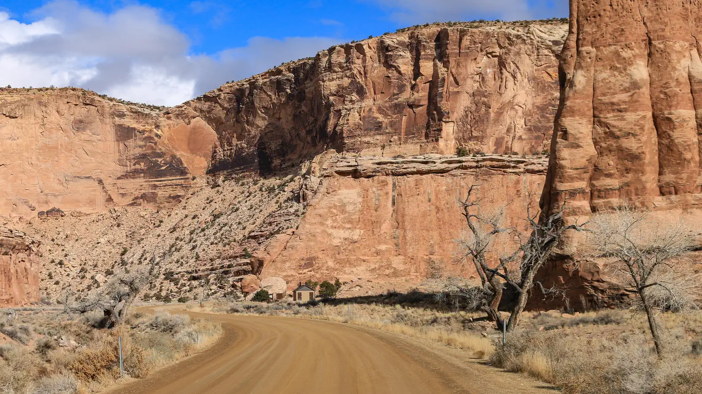
This recreation site is located in the heart of the Northern San Rafael Swell, where Buckhorn Wash joins with the San Rafael River. These campsites sit atop the banks of the San Rafael River and are bordered by the lofty escarpment of Buckhorn Draw to the North and large buttes such as Assembly Hall Peak and Window Blind Peak to the Southeast which can be viewed from all three campgrounds. Bottle Neck Peak is a few minute drive south along the Buckhorn Wash road located on the West side. Also visible from the campgrounds is the end of the Little Grand Canyon of the San Rafael River, campers who journey to the Wedge Overlook are rewarded with stunning views of The Little Grand Canyon. Common wildlife sightings are Mule Deer, Antelope, and Bighorn Sheep which may be seen in the morning or evening hours.
Recreation
This campground has many recreation opportunities nearby including: OHV trails, rock climbing, hiking, mountain biking and much more.
Guidebooks for Utah
We earn a small commission if you buy through these links. It does not change what we list.


Titles come from Open Library's catalog, matched by subject heading or by title.
Reference
Questions people ask
Do I need a reservation at San Rafael Swinging Bridge Campground?
Sites at San Rafael Swinging Bridge Campground are reservable on Recreation.gov. Any walk-up sites are listed on the booking page.
Source: Recreation.gov
How many sites does San Rafael Swinging Bridge Campground have?
24 sites, including 22 standard sites without power and 1 group shelter nonelectric.
Source: Recreation.gov
Can I bring an RV to San Rafael Swinging Bridge Campground?
San Rafael Swinging Bridge Campground is listed for tents only.
Source: Recreation.gov
Are pets allowed at San Rafael Swinging Bridge Campground?
Yes, pets are allowed at San Rafael Swinging Bridge Campground. Leash rules apply.
Source: Recreation.gov
Can I have a campfire at San Rafael Swinging Bridge Campground?
Fires are allowed in the provided rings under normal conditions. As of 2026-10-16, there are 2 active fires within 50 miles, so check current restrictions before you light one.
Source: Fire nearby
What is the nearest town to San Rafael Swinging Bridge Campground?
Price, Utah. Nearby attractions include: The historic San Rafael Swinging Bridge for which the campgrounds are named.
Source: Getting there
What if San Rafael Swinging Bridge Campground is full?
The nearest public campgrounds are Equestrian Campground (0.2 mi, first-come), Sids Mountain Wilderness - The Wedge (5.1 mi, first-come), and Buckhorn Draw (7.4 mi).
Source: Campgrounds nearby