Buckhorn Draw
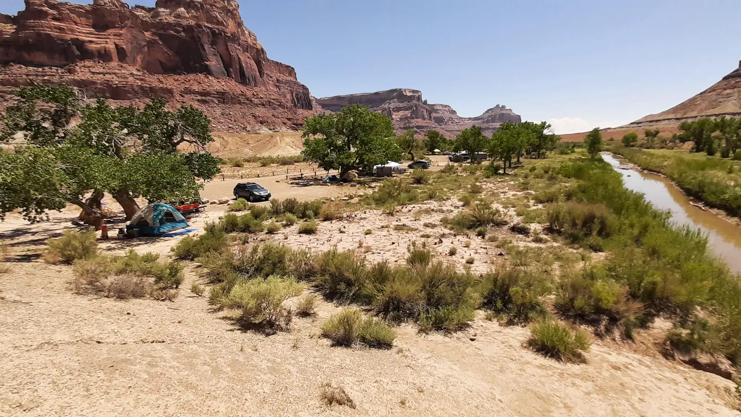
Buckhorn Draw has multiple vault toilets and information stations along the main road. Individual campsites have picnic tables and fires rings.
More like this: reservable in Utah · pets allowed in Utah · group sites in Utah
Check availability on Recreation.gov ↗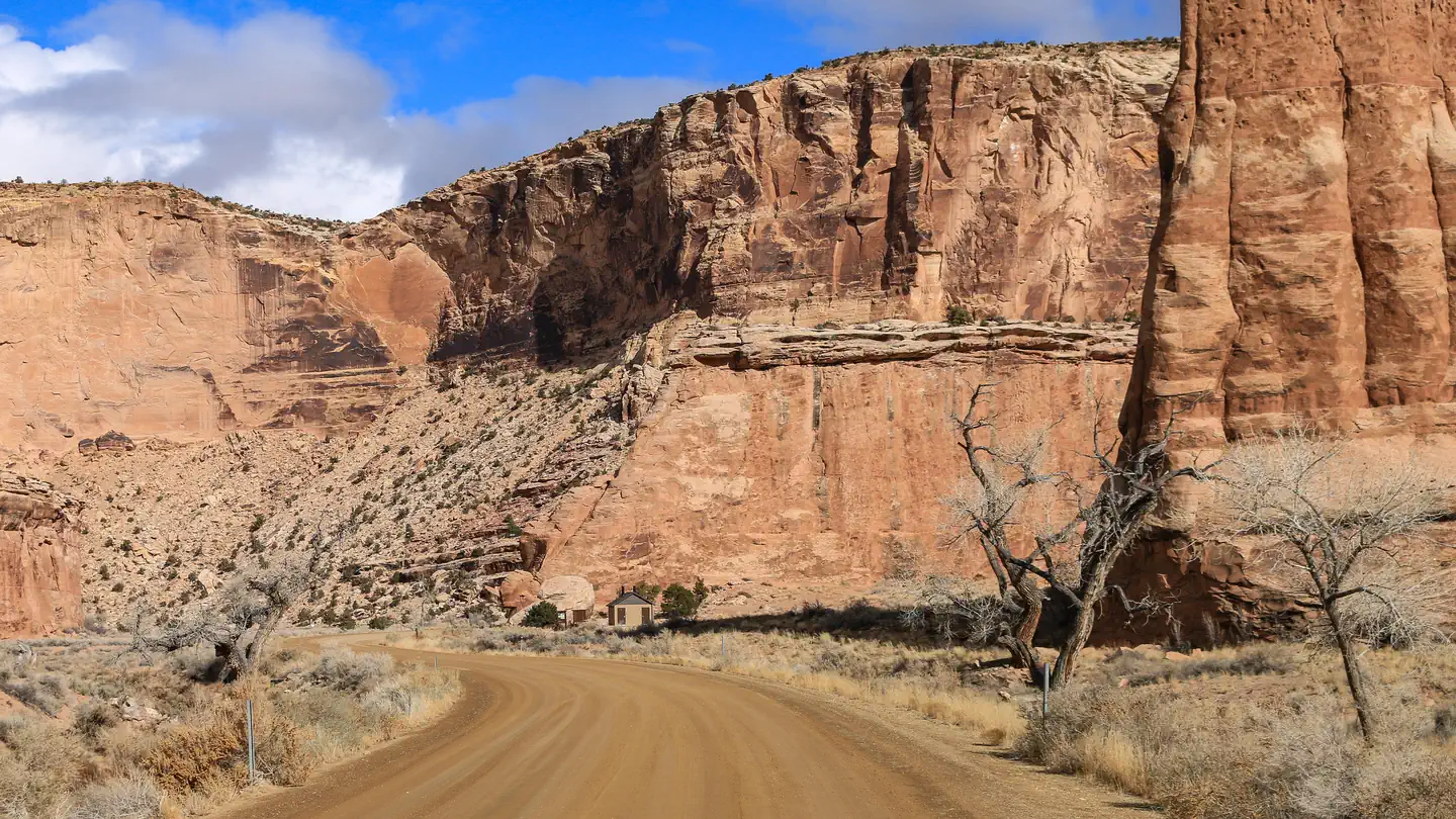
Site mix
| Standard, no hookups | 25 |
| Group sites | 7 |
| Host/management | 1 |
Site guide
32 sites. Tap a filter to narrow the list; the map follows.
| Site | Type | Entry | Surface | Fires | Accessible |
|---|---|---|---|---|---|
| Site 01 | Standard | Gravel | |||
| Site 02 | Standard | Back-in | Gravel | ||
| Site 03 | Standard | Pull-through | Gravel | ||
| Site 08 | Standard | Gravel | |||
| Site 09 | Standard | Gravel | |||
| Site 10 | Standard | Gravel | |||
| Site 11 | Standard | Pull-through | Gravel | ||
| Site 13 | Standard | Pull-through | Gravel | ||
| Site 14 | Standard | Back-in | Gravel | ||
| Site 15 | Standard | Back-in | Gravel |
Per-site records as published by the managing agency on Recreation.gov. Blank cells mean the agency listed nothing for that site.
Amenities & rules
| Pets | Allowed |
| Campfires | Allowed, subject to restrictions |
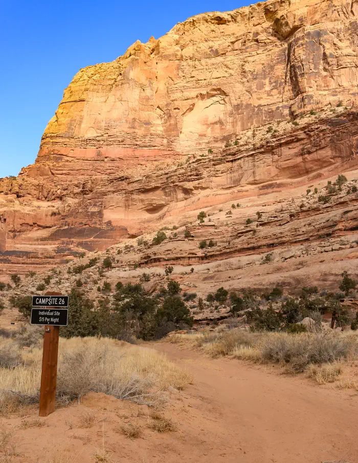
| Fees | The 26 individual sites fit two to three vehicles and are $15/night. There are 7 large group sites that are $50/night and fit eight to ten standard sized vehicles or multiple RVs and trailers. High clearance is advised for sites 20 and 21. |
| Accessibility | Site Site 04 (group) is listed accessible |
- Vault toilets are located at:
- Campsites 1-7
- Campsites 18-21
- The Buckhorn Pictograph Panel (halfway between sites 23-24 and 25-27)
- Swinging Bridge Campground
- Different sites are appropriate for different vehicles:
- RVs: all group sites; 1, 3, 8-11, 14, 17, 27, 30-32
- Small trailers: all of the above plus 18, 19, 22-25, 28
- Sites 20-21 are down a rough, narrow road with deep sand. High clearance and AWD/4WD required.
Individual sites vary. Confirm on Recreation.gov or with the managing office.
Weather by month
Getting there
This campground is located 15 miles from the nearest paved road. County roads in the San Rafael Swell are generally well-maintained but may be impassible for two-wheel drive vehicles in wet or icy conditions. Please travel safely and responsibly. Contact the BLM for route conditions. From Huntingdon: Take Center Street east out of Huntingdon.
| Nearest town | Price, Utah |
| Coordinates | 39.1661° N, 110.7447° W · Directions ↗ |
Fire nearby
- WildfireSlough Canyon
46 mi from the campground · 4,774 acres · 80% contained
- PrescribedSalina Canyon East Rx
49 mi from the campground · 17,375 acres
Distance is to the reported incident point, not the fire edge. Call the managing office before you drive.
Supplies & services
| Dump station | Dump station ↗ | 32.5 mi |
| RV sales & service | RV sales & service ↗ | 35.3 mi |
| Outdoor gear | IFA Country Store ↗ | 46.9 mi |
Locations © OpenStreetMap contributors. Call ahead; hours change seasonally.
Explore
Video
Buckhorn Draw: The North Entrance to the San Rafael Swell
Worth a stop
- 0.8 miFurniture Draw Th ↗Trailhead
- 6.3 mi
- 6.5 miLittle Grand Canyon Trailhead ↗Trailhead
Public land it sits in
Sid's Mountain Wilderness begins about 5.1 miles away, and it is the closest of these.
- 5.1 miSid's Mountain Wilderness ↗Wilderness · Bureau of Land Management · 49,130 acres
- 8.8 miMexican Mountain Wilderness ↗Wilderness · Bureau of Land Management · 76,413 acres
- 10.6 miJurassic ↗National Conservation Lands unit · Bureau of Land Management · 819 acres
Each unit is published as a centre point and an acreage rather than a boundary, so this section stands it in for a circle of the same area. Whether a campground is inside, and how far it is from one it is outside, are both approximate.
Other campgrounds nearby



On the National Register nearby
- Denver and Rio Grande Lime KilnStructure · Cleveland · 2.7 mi
- San Rafael BridgeStructure · Castle Dale · 7.3 mi
- Lars Peter Larson HouseBuilding · Cleveland · 13.6 mi
Natural features
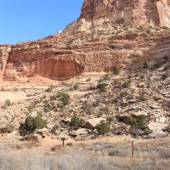
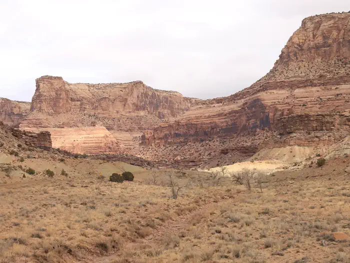
Buckhorn Draw is the San Rafael River's longest tributary canyon. Along the nine-mile drive from the top of the canyon to its confluence with the river at the Swinging Bridge, visitors will pass below towering sandstone cliffs. The canyon is mixed sagebrush and riparian, and there are many opportunities to see mule deer within the draw and bighorn sheep in the side canyons. Designated wilderness frames either side of Buckhorn Draw: Sids Mountain Wilderness to the west and Mexican Mountain Wilderness to the east. Wilderness protects outstanding habitat and ecosystems and provides many opportunities for non-motorized recreation.
Recreation
Buckhorn Draw Road is the main artery for the northern half of the San Rafael Swell Recreation Area. There are thousands of miles of roads and off-highway vehicle trails; from Buckhorn Draw visitors can readily access Cane Wash Road, which leads to some of the Swell's most technical OHV trails, as well as dispersed camping along Mexican Mountain Road. Much of the area outside of the draw is designated wilderness. Motorized vehicles, bicycles, and power tools are prohibited in these areas. Hiking: Calf Canyon and Furniture Draw are popular day hikes from Buckhorn Draw. Those seeking longer, challenging backcountry adventures will find opportunities for backpacking, with trailheads located at the Johansen Corral (west from Swinging Bridge along the San Rafael River) and at the east end of Mexican Mountain Road. Off-roading: Non-county trails are infrequently maintained. Please choose trails appropriate to your vehicle and skill level and bring an emergency kit to self-rescue. Rock climbing: There are many climbing routes along Buckhorn Draw. Please utilize day use areas and general parking lots when climbing or observing.
Guidebooks for Utah
We earn a small commission if you buy through these links. It does not change what we list.


Titles come from Open Library's catalog, matched by subject heading or by title.
Reference
Questions people ask
Do I need a reservation at Buckhorn Draw?
Sites at Buckhorn Draw are reservable on Recreation.gov. Any walk-up sites are listed on the booking page.
Source: Recreation.gov
How much does it cost to camp at Buckhorn Draw?
The 26 individual sites fit two to three vehicles and are $15/night. There are 7 large group sites that are $50/night and fit eight to ten standard sized vehicles or multiple RVs and trailers. High clearance is advised for sites 20 and 21.
Source: Recreation.gov
How many sites does Buckhorn Draw have?
33 sites, including 25 standard sites without power and 7 group sites.
Source: Recreation.gov
Are pets allowed at Buckhorn Draw?
Yes, pets are allowed at Buckhorn Draw. Leash rules apply.
Source: Recreation.gov
Can I have a campfire at Buckhorn Draw?
Fires are allowed in the provided rings under normal conditions. As of 2026-10-16, there are 2 active fires within 50 miles, so check current restrictions before you light one.
Source: Fire nearby
Are there accessible sites at Buckhorn Draw?
Site Site 04 (group) is listed accessible on Recreation.gov. What that covers (a paved pad, an accessible table, a nearby accessible restroom) is on each site's booking page.
Source: Recreation.gov
Is there cell service at Buckhorn Draw?
FCC coverage maps show Verizon 4G LTE and AT&T 4G LTE at the campground point. Terrain changes that from one site to the next.
Source: FCC Broadband Map
What is there to do at Buckhorn Draw?
Buckhorn Draw Road is the main artery for the northern half of the San Rafael Swell Recreation Area. The Recreation section on this page has the rest.
Source: Recreation
What is the nearest town to Buckhorn Draw?
Price, Utah.
Source: Getting there
What if Buckhorn Draw is full?
The nearest public campgrounds are Sids Mountain Wilderness - The Wedge (5.1 mi, first-come), San Rafael Swinging Bridge Campground (7.4 mi), and Equestrian Campground (7.4 mi, first-come).
Source: Campgrounds nearby