Al Taylor Cabin
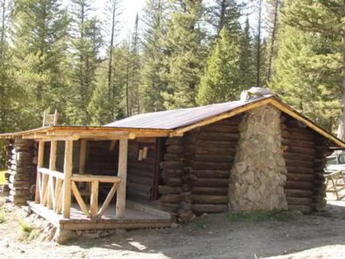
Al Taylor Cabin is located adjacent to Steel Creek near the Continental Divide, at an elevation of 6,300 feet. Visitors come to this area for its beautiful scenery and solitude. Guests can drive to the cabin from mid-May through mid-November with the majority of the trip on gravel roads. These roads are only accessible by snowmobile the remainder of the year. The cabin provides several conveniences, but guests should be prepared to bring some of their own supplies and gear for a comfortable stay.
Check availability on Recreation.gov ↗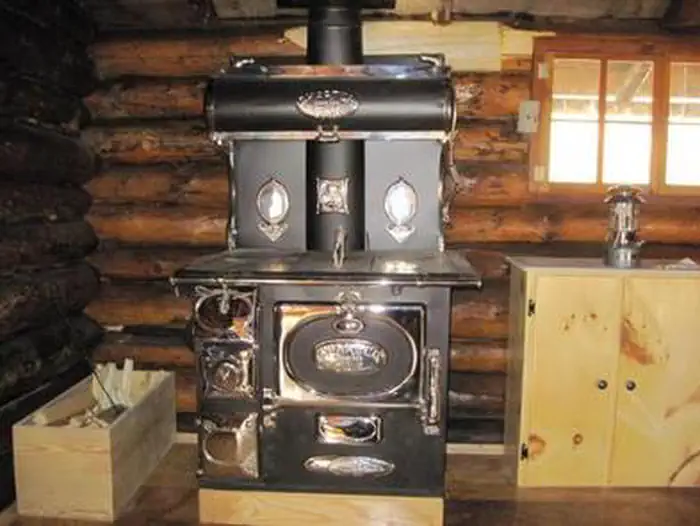
Site mix
| Cabins | 1 |
Site guide
1 site. Tap a filter to narrow the list; the map follows.
| Site | Entry | Surface | Shade | Waterfront | People / vehicles | Fires | Rating |
|---|---|---|---|---|---|---|---|
| Al Taylor Cabin | Back-in | Gravel | Partial | Springs | 6 / 3 | Yes | Standard |
Per-site records as published by the managing agency on Recreation.gov. Blank cells mean the agency listed nothing for that site. Check-in 2:00 PM, checkout 12:00 PM.
Amenities & rules
| Max vehicle length | 30 ft |
| Pets | Allowed |
| Campfires | Allowed, subject to restrictions |
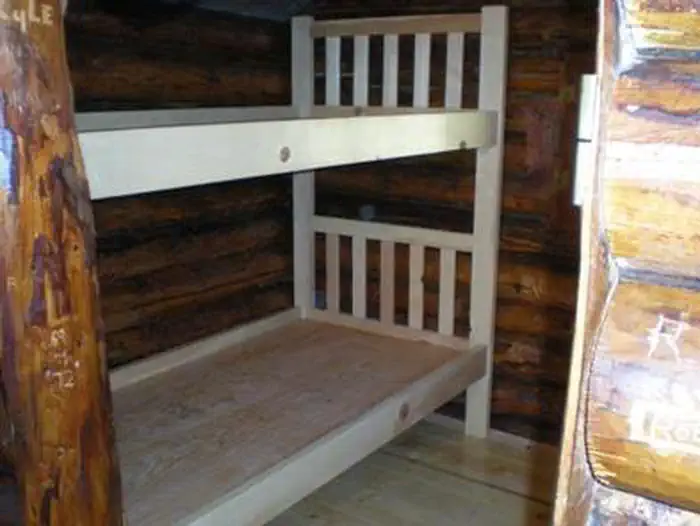
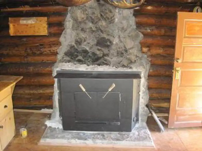
The cabin can accommodate six people. The cabin has a wood cook stove and wood fireplace as well as propane lights. It provides a small dining table with four chairs. The beds are wooden bunk beds. Other amenities include a fire ring, charcoal grill, picnic tables and a vault toilet - all provided adjacent to the cabin. There is no electricity at the cabin. Water is available at the Steel Creek Campground, located just before the gate to the cabin.
Individual sites vary. Confirm on Recreation.gov or with the managing office.
Weather by month
Getting there
The cabin can be accessed by traveling west from Kilgore, Idaho, via Forest Road 006 approximately 8 miles to Forest Road 478. Travel Forest Road 478 to the Steel Creek Group Area. The cabin is located just outside of the group area and can be reached by driving through the group area to the cabin.
| Nearest town | Dubois, Idaho |
| Coordinates | 44.4637° N, 112.0259° W · Directions ↗ |
Supplies & services
| Outdoor gear | United Sportsman's Shooting Range ↗ | 44.1 mi |
Locations © OpenStreetMap contributors. Call ahead; hours change seasonally.
Explore
Trails nearby
- 1.9 miBear Gulch-Table Mtn ↗4.7 mi trail · hiking, horse, bike
- 2 miBearcat Point Spur0.07 mi trail · hiking, horse, bike, motorcycle and 2 more
- 2.1 miLookout Point Spur0.5 mi trail · hiking, horse, bike, motorcycle and 2 more
- 2.7 miGoldmine1 mi trail · hiking, horse, bike, motorcycle and 2 more
- 2.9 miLookout Point South1.2 mi trail · hiking, horse, bike, motorcycle and 2 more
- 3.1 miAlex Draw to McGary Canyon ↗9.8 mi trail · hiking, horse, bike, motorcycle and 2 more
Trail and trailhead records are the Forest Service's. Distances are straight-line to the nearer trail end. Trail conditions are not tracked here.
Public land it sits in
Red Rock Lakes National Wildlife Refuge begins about 9.6 miles away, and it is the closest of these.
- 9.6 miRed Rock Lakes National Wildlife Refuge ↗National Wildlife Refuge · Fish and Wildlife Service · 85,504 acres
- 13.4 miRed Rock Lakes Wilderness ↗Wilderness · Fish and Wildlife Service · 32,350 acres
Each unit is published as a centre point and an acreage rather than a boundary, so this section stands it in for a circle of the same area. Whether a campground is inside, and how far it is from one it is outside, are both approximate.
Other campgrounds nearby
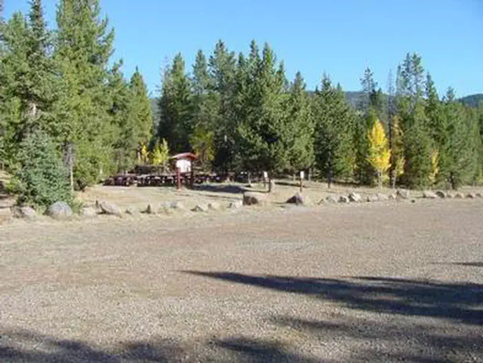


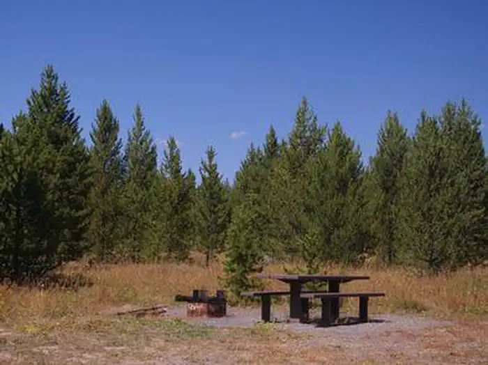
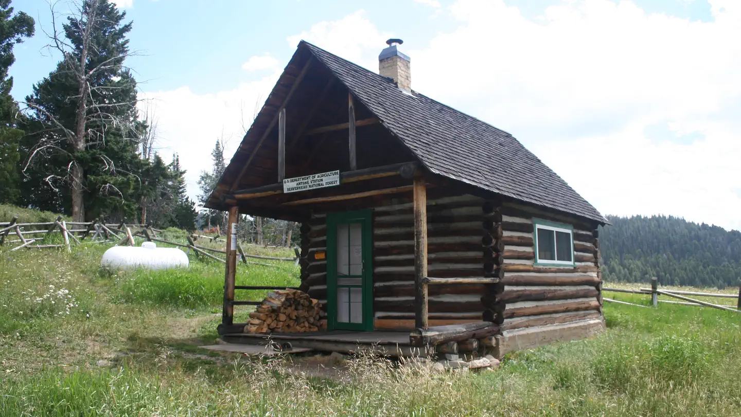
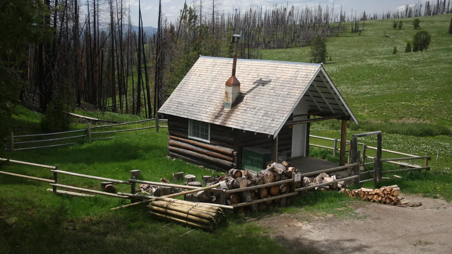
Cabin and lookout rentals nearby
On the National Register nearby
- Spencer Rock HouseBuilding · Spencer · 10.6 mi
Natural features
The cabin is surrounded by large douglas fir trees. It is near both Camas Meadows and the Continental Divide, providing incredible views.
Recreation
An off-highway vehicle trail system can be accessed from the cabin. Small streams in the area provide fishing opportunities for brook trout. Other popular activities in the area include hiking, horseback riding and sightseeing.
Nearby
There are many miles of off-highway vehicle, horseback and hiking trails in the area. The Camas Meadows Battlefield located on the Nez Perce National Historic Trail is located nearby.
Guidebooks for Idaho
We earn a small commission if you buy through these links. It does not change what we list.

Titles come from Open Library's catalog, matched by subject heading or by title.
Reference
Questions people ask
Do I need a reservation at Al Taylor Cabin?
Sites at Al Taylor Cabin are reservable on Recreation.gov. Any walk-up sites are listed on the booking page.
Source: Recreation.gov
What time is check-in at Al Taylor Cabin?
Check-in 2:00 PM, checkout 12:00 PM.
Source: Recreation.gov
How many sites does Al Taylor Cabin have?
1 site, including 1 cabin.
Source: Recreation.gov
Will my RV fit at Al Taylor Cabin?
The longest site here provides 30 feet of vehicle capacity. Most sites are shorter. The sidebar tool checks a trailer or motorhome length against every site.
Source: Will my RV fit
Are pets allowed at Al Taylor Cabin?
Yes, pets are allowed at Al Taylor Cabin. Leash rules apply.
Source: Recreation.gov
Can I have a campfire at Al Taylor Cabin?
Fires are allowed in the provided rings under normal conditions.
Source: Recreation.gov
What is there to do at Al Taylor Cabin?
An off-highway vehicle trail system can be accessed from the cabin. The Recreation section on this page has the rest.
Source: Recreation
What is the nearest town to Al Taylor Cabin?
Dubois, Idaho. There are many miles of off-highway vehicle, horseback and hiking trails in the area.
Source: Getting there
What if Al Taylor Cabin is full?
The nearest public campgrounds are Steel Creek Group Campground (0.3 mi), Stoddard Creek Campground (9.9 mi), and Elk Lake Dispersed Camping and Picnic Area (24 mi, first-come).
Source: Campgrounds nearby