Buttermilk
Buttermilk Campground is located approximately 30 miles southwest of West Yellowstone, Montana and 32 miles north of Ashton, Idaho in beautiful Island Park, Idaho. Buttermilk sits next to Island Park Reservoir at an elevation of 6,200 feet. Visitors love Island Park for its world-class fishing and outstanding scenery and wildlife viewing opportunities.
More like this: electric hookups in Idaho · reservable in Idaho · big rigs in Idaho · pets allowed in Idaho · group sites in Idaho
Check availability on Recreation.gov ↗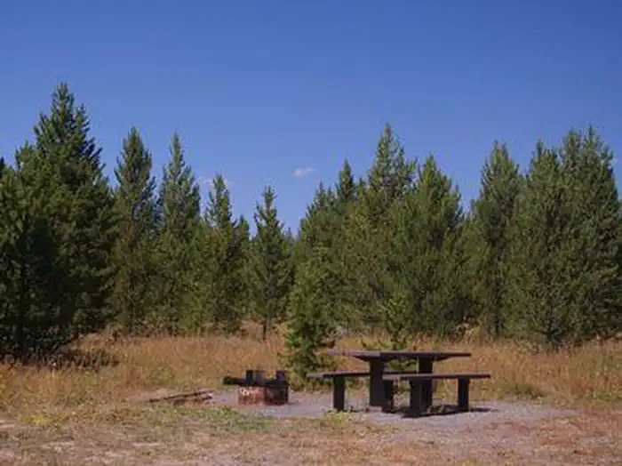
Site mix
| Standard, no hookups | 19 |
| Standard with electric | 1 |
| Group sites | 1 |
| Host/management | 35 |
Site guide
Will my RV fit
The longest site here provides 50 feet of vehicle capacity. Most sites are shorter.
21 sites. Tap a filter to narrow the list; the map follows.
| Site | Type | Entry | Fits, ft | Surface | Shade | Power | People / vehicles | Fires |
|---|---|---|---|---|---|---|---|---|
| 027 | Standard | Pull-through | 45 | Gravel | Partial | No | 8 / 1 | |
| 028 | Standard | Pull-through | 50 | Gravel | Partial | No | 8 / 1 | |
| 029 | Standard | Pull-through | 45 | Gravel | Partial | No | 8 / 1 | |
| 030 | Standard | Pull-through | 45 | Gravel | Partial | No | 8 / 1 | |
| 031 | Standard | Pull-through | 45 | Gravel | Partial | No | 8 / 1 | |
| 032 | Standard | Pull-through | 45 | Gravel | Partial | No | 8 / 1 | |
| 033 | Standard | Pull-through | 45 | Gravel | Partial | No | 8 / 1 | |
| 034 | Standard | 45 | Gravel | Partial | No | 8 / 1 | ||
| 035 | Standard | Back-in | 50 | Gravel | Partial | No | 16 / 2 | |
| 036 | Standard | Back-in | 45 | Gravel | Partial | No | 8 / 1 |
Per-site records as published by the managing agency on Recreation.gov. Blank cells mean the agency listed nothing for that site. Check-in 2:00 PM, checkout 12:00 PM.
Amenities & rules
| Hookups | Electric, water |
| Max vehicle length | 50 ft |
| Equipment | RVs & trailers, Tents |
| Pets | Allowed |
| Campfires | Allowed, subject to restrictions |
| Fees | Group Site Fees: $65.00 per night Sunday through Thursday and $130.00 per night Friday and Saturday. A weekly rate is not available. |
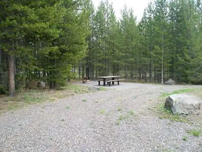
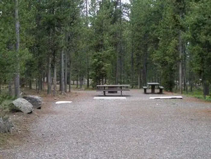
The campground contains two loops for single family camping and one loop for group camping, with a total of 55 sites. The large group site can accommodate up to 150 people. Site 038 has 15-amp electric hookups. Vault toilets and drinking water are provided. A concrete boat ramp with docks is located between the group camping and single family camping loops. Access to the campground is on a paved road but the interior loop roads and parking spurs are gravel.
Individual sites vary. Confirm on Recreation.gov or with the managing office.
Season & status
| Status | Closed for the season. Forest Service sites close for the season; check the official page for the reopening date. |
| Season | May |
| Forest | Caribou-Targhee National Forest |
| Booking | Some of these campsites can be reserved by calling Toll Free 1-877-444-6777 or Buttermilk, Caribou-Targhee National Forest - Recreation.gov |
| Fees | Single Site $ 25.00. Double Site $ 50.00. Group Area (Sun.-Thurs.) $ 100.00. Group Area (Fri.-Sat.) $ 200.00. Extra Vehicle (ea.) $ 7.00 |
| Rules | No All Terrain Vehicles (ATVs) or Off-HighwayVehicles (OHVs) allowed in the park. |
Weather by month
Getting there
From West Yellowstone, Montana, take Highway 20 south, southwest for approximately 25 miles and from Ashton, Idaho, take Highway 20 north for approximately 27 miles. Turn west onto the Kilgore-Yale Road #030 (across from Elk Creek Gas Station) and go about 2 miles to the Buttermilk Loop Road #126.
| Nearest town | Island Park, Idaho |
| Coordinates | 44.4325° N, 111.4261° W · Directions ↗ |
Supplies & services
| Dump station | Dump station ↗ | 22.1 mi |
| Outdoor gear | Eagle's Curios ↗ | 22.4 mi |
Locations © OpenStreetMap contributors. Call ahead; hours change seasonally.
Explore
Video
A Photographic Tour of Buttermilk Campground in Eastern Idaho
Worth a stop
Mesa Falls Scenic Byway is 13 miles south of the campground. This 28-mile road leads to scenic overlooks and trails at 110 foot Upper Mesa Falls and 85 foot Lower Mesa Falls. Harriman State Park is 15 miles south. The Henry's Fork meanders through the Harriman, offering excellent fishing. Over 20 miles of trails are available, and wildlife is abundant in this scenic park. Henry's Lake State Park is 18 miles north, offering fishing, a fish cleaning station and boat ramp. Yellowstone National Park's west entrance is just 29 miles north in the town of West Yellowstone, Montana. Visitors enjoy day-tripping to the park for unparalleled wildlife viewing and the beautiful and unique scenery.
- 0.3 miButtermilk Boat Ramp ↗Boat launch
- 1.1 miMill Creek Boat Ramp ↗Boat launch
- 2.1 miBox Canyon Trailhead ↗Trailhead
- 5.4 miLast Chance Fisherman Access Fishing Site ↗Fishing site
Trails nearby
- 0.2 miLakeside Trail E0.9 mi trail · hiking, horse, bike, motorcycle and 2 more
- 0.3 miLakeside Trail D0.7 mi trail · hiking, horse, bike, motorcycle and 2 more
- 0.7 miButtermilk Trail1.3 mi trail · hiking, horse, bike, motorcycle and 2 more
- 1.2 miMill Creek Trail A0.7 mi trail · hiking, horse, bike, motorcycle and 2 more
- 1.2 miLakeside Trail1.5 mi trail · hiking, horse, bike, motorcycle and 2 more
- 1.8 miMill Creek Trail B0.7 mi trail · hiking, horse, bike, motorcycle and 2 more
Trailheads within three miles
- 2.1 miBox Canyon Trailhead ↗Caribou-Targhee National Forest
Trail and trailhead records are the Forest Service's. Distances are straight-line to the nearer trail end. Trail conditions are not tracked here.
Other campgrounds nearby

Cabin and lookout rentals nearby
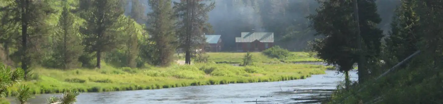
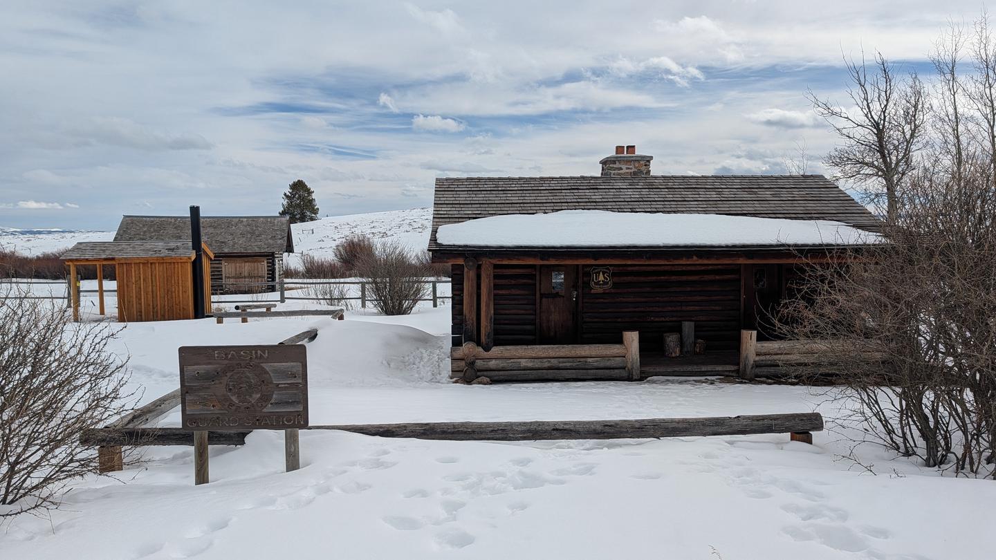
On the National Register nearby
- Glen and Addie Crabtree CabinBuilding · Island Park · 1.9 mi
- Eleanor Albaugh CabinBuilding · Island Park · 6.8 mi
- Bishop Mountain LookoutHistoric district · Island Park · 9.3 mi
Natural features
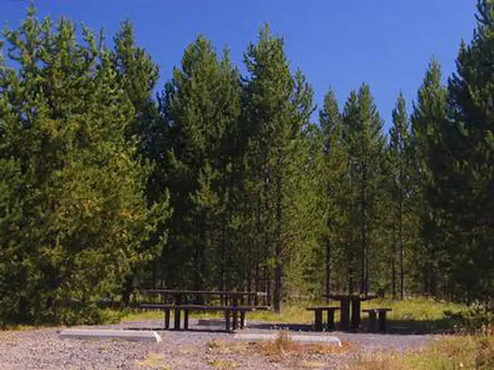
Island Park is composed of two areas of extinct volcanic activity. The Henry's Fork Caldera sits inside the larger Island Park Caldera. The area is known for its dense forests of lodgepole pine, broad grassy meadows bursting with summer wildflowers and a wide variety of wildlife, including black and grizzly bears, moose, elk, deer, bald eagles, Sandhill cranes and much, much more. The campground is situated in a forest of lodgepole pine, which provides partial shade in some sites. Some areas of the campground are more open and sunny than others.
Recreation
The Island Park area is prized for its fishing; the Henry's Fork is known as one of the nation's best fly-fishing streams. Anglers cast for rainbow, cutthroat and brook trout and Kokanee salmon. Island Park Reservoir offers boating, water skiing and excellent fishing opportunities. The reservoir is used for irrigation so the water level recedes throughout the summer, but is generally useable all season. Henry's Lake is nearby. Hiking, biking, horseback riding and ATVing are popular activities. Many miles of trails are in the area, including the Continental Divide National Scenic Trail and the Nez Perce Trail. The Big Springs National Recreation Water Trail offers an approximately three-hour float or canoe trip through beautiful scenery. Wildlife, including moose, bald eagles and Sandhill cranes, are often seen along the trail.
Guidebooks for Idaho
We earn a small commission if you buy through these links. It does not change what we list.

Titles come from Open Library's catalog, matched by subject heading or by title.
Reference
Questions people ask
Do I need a reservation at Buttermilk?
Sites at Buttermilk are reservable on Recreation.gov. Some of these campsites can be reserved by calling Toll Free 1-877-444-6777 or Buttermilk, Caribou-Targhee National Forest - Recreation.gov Any walk-up sites are listed on the booking page.
Source: Recreation.gov
How much does it cost to camp at Buttermilk?
Group Site Fees: $65.00 per night Sunday through Thursday and $130.00 per night Friday and Saturday. A weekly rate is not available.
Source: Recreation.gov
What time is check-in at Buttermilk?
Check-in 2:00 PM, checkout 12:00 PM.
Source: Recreation.gov
Is Buttermilk open right now?
Closed for the season as of Oct 16, 2026. Season May.
Source: Forest Service status
How many sites does Buttermilk have?
56 sites, including 19 standard sites without power, 1 standard site with power, and 1 group site.
Source: Recreation.gov
Will my RV fit at Buttermilk?
The longest site here provides 50 feet of vehicle capacity. Most sites are shorter. The sidebar tool checks a trailer or motorhome length against every site.
Source: Will my RV fit
Does Buttermilk have hookups?
Yes, electric and water hookups at some sites.
Source: Recreation.gov
Are pets allowed at Buttermilk?
Yes, pets are allowed at Buttermilk. Leash rules apply.
Source: Recreation.gov
Can I have a campfire at Buttermilk?
Fires are allowed in the provided rings under normal conditions. No All Terrain Vehicles (ATVs) or Off-HighwayVehicles (OHVs) allowed in the park.
Source: Recreation.gov
Is there cell service at Buttermilk?
FCC coverage maps show Verizon 4G LTE, AT&T 5G, and T-Mobile 5G at the campground point. Terrain changes that from one site to the next.
Source: FCC Broadband Map
What is there to do at Buttermilk?
The Island Park area is prized for its fishing; the Henry's Fork is known as one of the nation's best fly-fishing streams. The Recreation section on this page has the rest.
Source: Recreation
What is the nearest town to Buttermilk?
Island Park, Idaho. Mesa Falls Scenic Byway is 13 miles south of the campground.
Source: Getting there