Warm Springs Campground
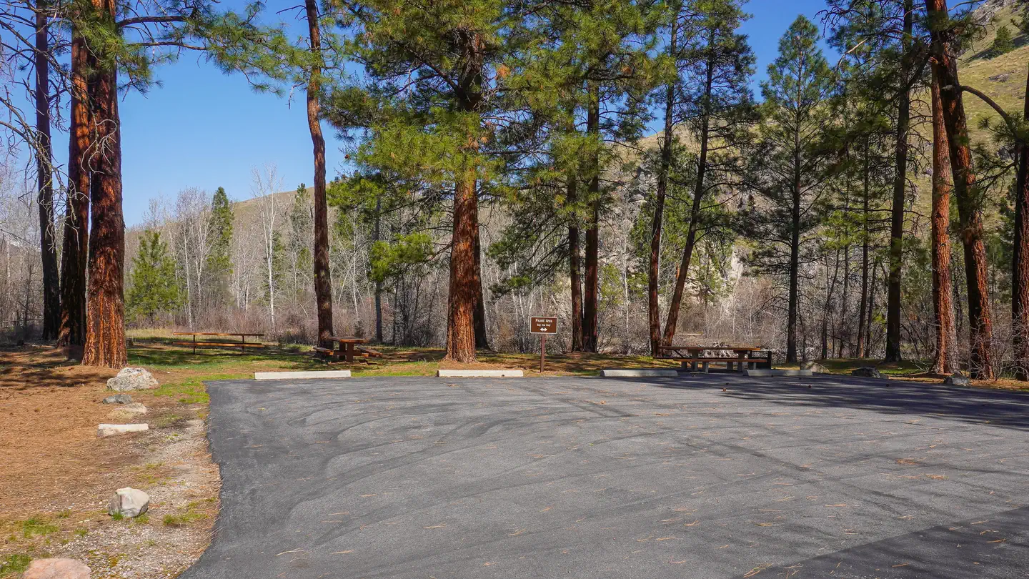
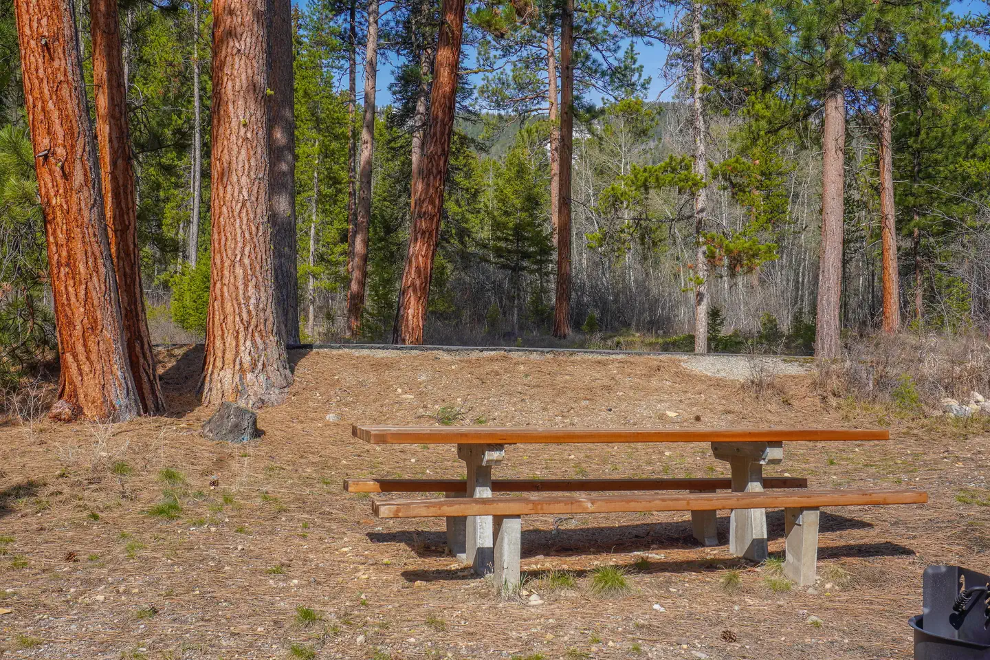
Warm Springs Campground is nestled in a wooded area along Crazy Creek. It hosts 14 sites with picnic tables, fire rings, and vault toilets. There is no garbage service so Pack it in/Pack it out. Campground can accommodate trailers under 26 feet.
More like this: first-come in Montana

Season & status
| Season | May |
| Forest | Bitterroot National Forest |
| Fees | $12/Night for single unit, $5/Night for extra vehicle |
| Rules | Camping limited to 16 consecutive days. Quiet hours: 10:00 p.m. to 6:00 a.m. Pets must be leashed. No Garbage Service Pack it in/Pack it out. |
Weather by month
Getting there
From Sula, MT head northwest 2.9 miles on Highway 93. Turn west (left) onto Medicine Springs Road (#370). Drive approximately 1.5 miles to the campground which will be located on the south side of the road (left).
| Coordinates | 45.8420° N, 114.0401° W · Directions ↗ |
Fire nearby
- PrescribedRx D4 Piquett Creek
8 mi from the campground · 2,210 acres
- PrescribedRx D3 Cameron Gaps
9 mi from the campground · 1,100 acres
- PrescribedScf Nz Pile Burn Rx
17 mi from the campground · 34 acres
- WildfireSand Creek
40 mi from the campground · 35,520 acres · 83% contained
Distance is to the reported incident point, not the fire edge. Call the managing office before you drive.
Supplies & services
| RV sales & service | Hamilton RV Sales Of Montana ↗ | 30.2 mi |
Locations © OpenStreetMap contributors. Call ahead; hours change seasonally.
No site-by-site records, no amenities, no fee schedule or photos in the Recreation.gov record. What is here comes from the agency's own listing. The rest lives there.
Checked nightly. Modules appear as soon as the record fills in.
Explore
Worth a stop
- 2.5 miWarm Springs Trailhead ↗Trailhead
- 7.5 miNee Me Poo Trailhead ↗Trailhead
Trails nearby
- 0.9 miWarm Springs Ridge ↗14.4 mi trail
- 1.2 miWarm Springs Laird ↗2.4 mi trail
- 1.3 miTimber Road ↗2.8 mi trail
- 1.3 miLord Draw ↗6 mi trail
- 1.4 miWarm Springs ↗0.3 mi trail
- 2.3 miMedicine Point Lookout3.1 mi trail
Trailheads within three miles
- 2.5 miWarm Springs Trailhead ↗Bitterroot National Forest · Season May
Trail and trailhead records are the Forest Service's. Distances are straight-line to the nearer trail end. Trail conditions are not tracked here.
Public land it sits in
This campground sits inside Bitterroot National Forest.
- inBitterroot National Forest ↗National Forest · Forest Service · 1,664,512 acres
- 9.1 miBeaverhead-Deerlodge National Forest ↗National Forest · Forest Service · 3,614,456 acres
- 12.6 miSelway-Bitterroot Wilderness ↗Wilderness · Forest Service · 1,347,644 acres
Each unit is published as a centre point and an acreage rather than a boundary, so this section stands it in for a circle of the same area. Whether a campground is inside, and how far it is from one it is outside, are both approximate.
Other campgrounds nearby

Cabin and lookout rentals nearby
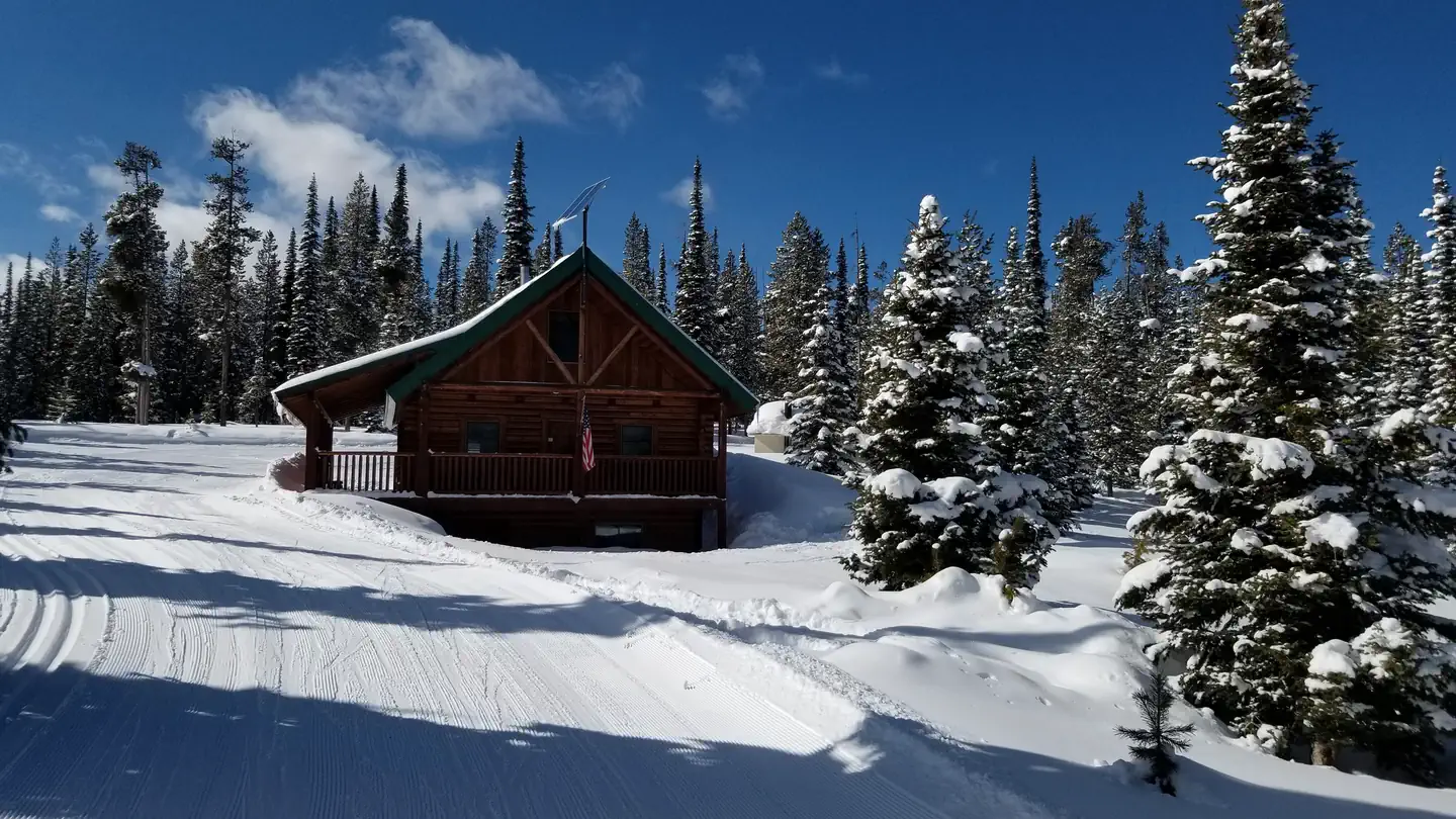
On the National Register nearby
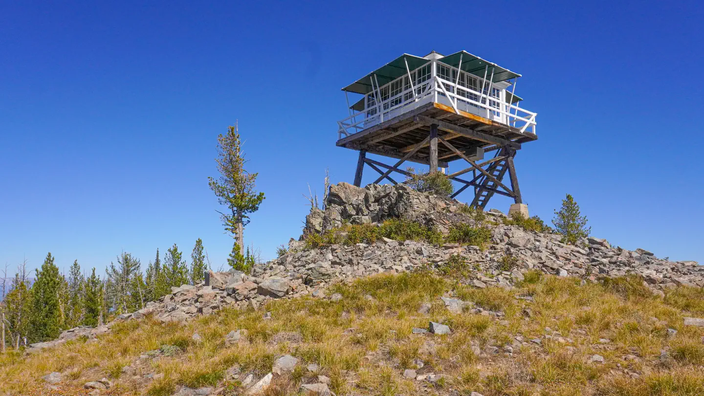
- Medicine Point LookoutBuilding · Darby · 4.2 mi
- Boulder Point LookoutBuilding · Darby · 12 mi
Guidebooks for Montana
We earn a small commission if you buy through these links. It does not change what we list.

Titles come from Open Library's catalog, matched by subject heading or by title.
Reference
Questions people ask
Do I need a reservation at Warm Springs Campground?
No. Warm Springs Campground is first-come, first-served. Sites are taken on arrival and paid at the fee station.
Source: Forest Service
How much does it cost to camp at Warm Springs Campground?
$12/Night for single unit, $5/Night for extra vehicle
Source: Forest Service
Is there cell service at Warm Springs Campground?
FCC coverage maps show Verizon 4G LTE at the campground point. Terrain changes that from one site to the next.
Source: FCC Broadband Map
What if Warm Springs Campground is full?
The nearest public campgrounds are Spring Gulch (1.4 mi), Crazy Creek Campground (2.5 mi, first-come), and Indian Trees Campground (7.3 mi).
Source: Campgrounds nearby