Twogood Cabin
Twogood Cabin offers guests a unique opportunity to camp in the forest of western Montana, in a rustic, old-time setting. It is available between the end of May through the middle of October, as well as throughout December, providing access to the surrounding mountains' best features and recreational attractions. Hiking, backpacking and horseback riding is popular during the warmer months and visitors enjoy cross country skiing and snowshoeing on the snow-covered terrain. Twogood Cabin is located 6 miles up a non-motorized trail.
Check availability on Recreation.gov ↗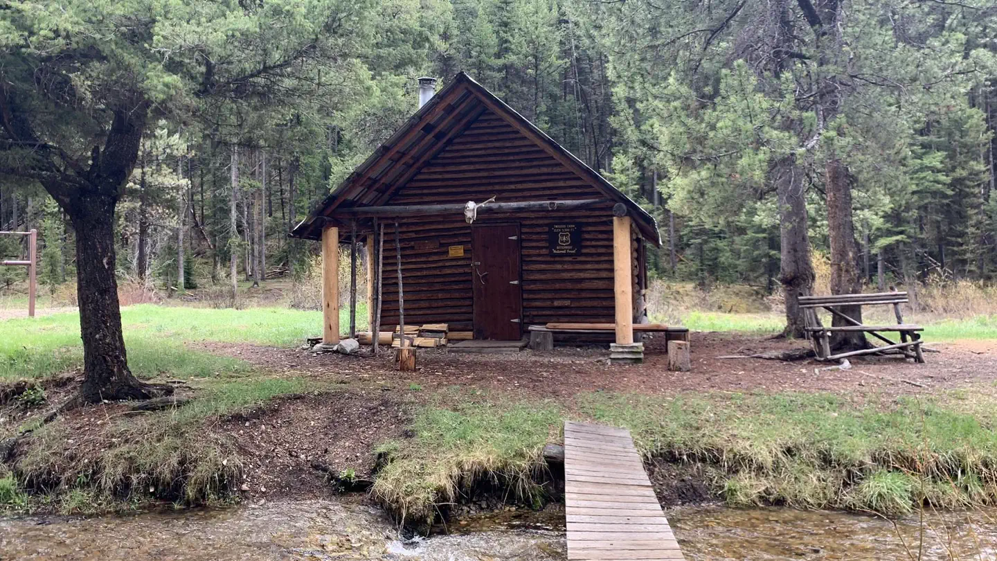
Site mix
| Cabins | 1 |
Site guide
1 site. Tap a filter to narrow the list; the map follows.
| Site | Waterfront | People / vehicles | Fires |
|---|---|---|---|
| 01 | Riverfront | 4 / – | Yes |
Per-site records as published by the managing agency on Recreation.gov. Blank cells mean the agency listed nothing for that site. Check-in 2:00 PM, checkout 12:00 PM.
Amenities & rules
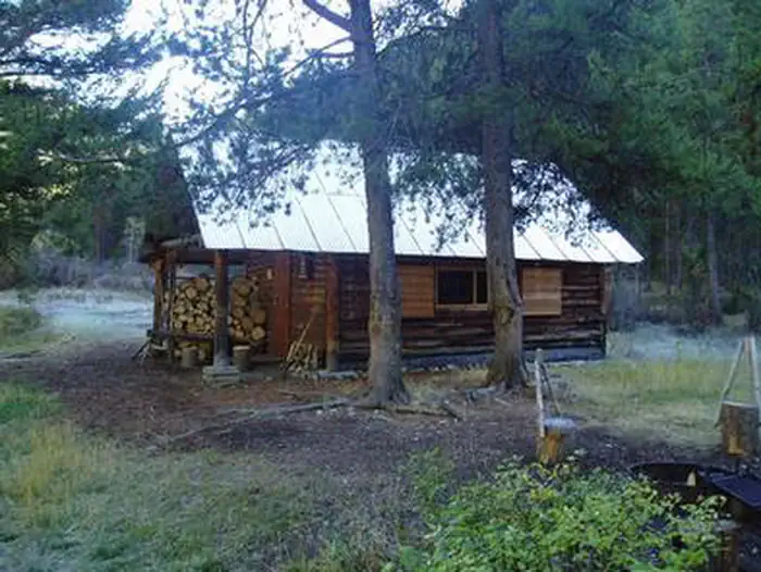
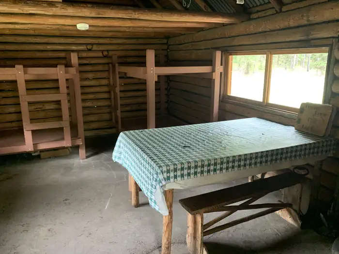
The one-room cabin measures 15x19 feet with a concrete floor and covered porch. It accommodates up to four people and is equipped with two bunk beds, a table and chairs, counter space, a wood stove for heat and a two burner propane stove for cooking. A propane lantern is also available. Guests will need to bring your own propane fuel canisters. There is a wood stove for heat. Firewood is usually available under the covered porch outside the cabin but you may need to split your own logs. Inside the cabin pots, pans, and basic cooking and eating utensils are available. An outdoor outhouse serves the cabin but you will need to provide your own toilet paper. Porcupine Creek is the sole source of drinking water for you and your stock. It is recommended you use a water purifier, boil, or otherwise treat the water before consuming. You will need to provide your own bedding and towels. Guests are required to clean the cabin prior to their departure. Three hitch rails for stock are located within site of the cabin and can accommodate up to 12 head of stock. An area behind the cabin is often used to high-line stock overnight. Grazing within one mile of the cabin is prohibited.
Individual sites vary. Confirm on Recreation.gov or with the managing office.
Weather by month
Getting there
From Missoula, Montana, travel south on Highway 93 to Medicine Creek Road/Forest Service Road 370, which is approximately 36 miles south of Hamilton. Turn right and continue about 4 miles to the trailhead, which is located at Crazy Creek Campground. An easy, 6-mile hike leads to the cabin from the parking area.
| Nearest town | Sula, Montana |
| Coordinates | 45.7578° N, 114.0442° W · Directions ↗ |
Fire nearby
- PrescribedRx D4 Piquett Creek
10 mi from the campground · 2,210 acres
- PrescribedScf Nz Pile Burn Rx
12 mi from the campground · 34 acres
- PrescribedRx D3 Cameron Gaps
13 mi from the campground · 1,100 acres
- WildfireSand Creek
37 mi from the campground · 35,520 acres · 83% contained
Distance is to the reported incident point, not the fire edge. Call the managing office before you drive.
Supplies & services
| RV sales & service | Hamilton RV Sales Of Montana ↗ | 35.9 mi |
Locations © OpenStreetMap contributors. Call ahead; hours change seasonally.
Explore
Worth a stop
- Overwhich Falls
- 3.9 miWarm Springs Trailhead ↗Trailhead
- 4.8 miNee Me Poo Trailhead ↗Trailhead
Trails nearby
- 0.7 miPorcupine Creek ↗4.8 mi trail
- 1.6 miAndrews Creek3.4 mi trail
- 2.4 miShook Mountain-Medicine Point ↗11.3 mi trail
- 2.5 miFire Creek ↗4.6 mi trail
- 2.8 miPorcupine Saddle0.7 mi trail
- 2.9 miCapri Lake1 mi trail
Trail and trailhead records are the Forest Service's. Distances are straight-line to the nearer trail end. Trail conditions are not tracked here.
Public land it sits in
This campground sits inside Bitterroot National Forest.
- inBitterroot National Forest ↗National Forest · Forest Service · 1,664,512 acres
- 7.1 miBeaverhead-Deerlodge National Forest ↗National Forest · Forest Service · 3,614,456 acres
- 11 miSalmon-Challis National Forest ↗National Forest · Forest Service · 4,396,382 acres
Each unit is published as a centre point and an acreage rather than a boundary, so this section stands it in for a circle of the same area. Whether a campground is inside, and how far it is from one it is outside, are both approximate.
Other campgrounds nearby

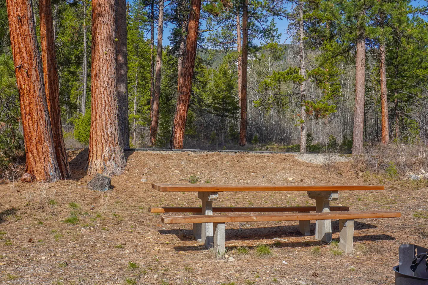
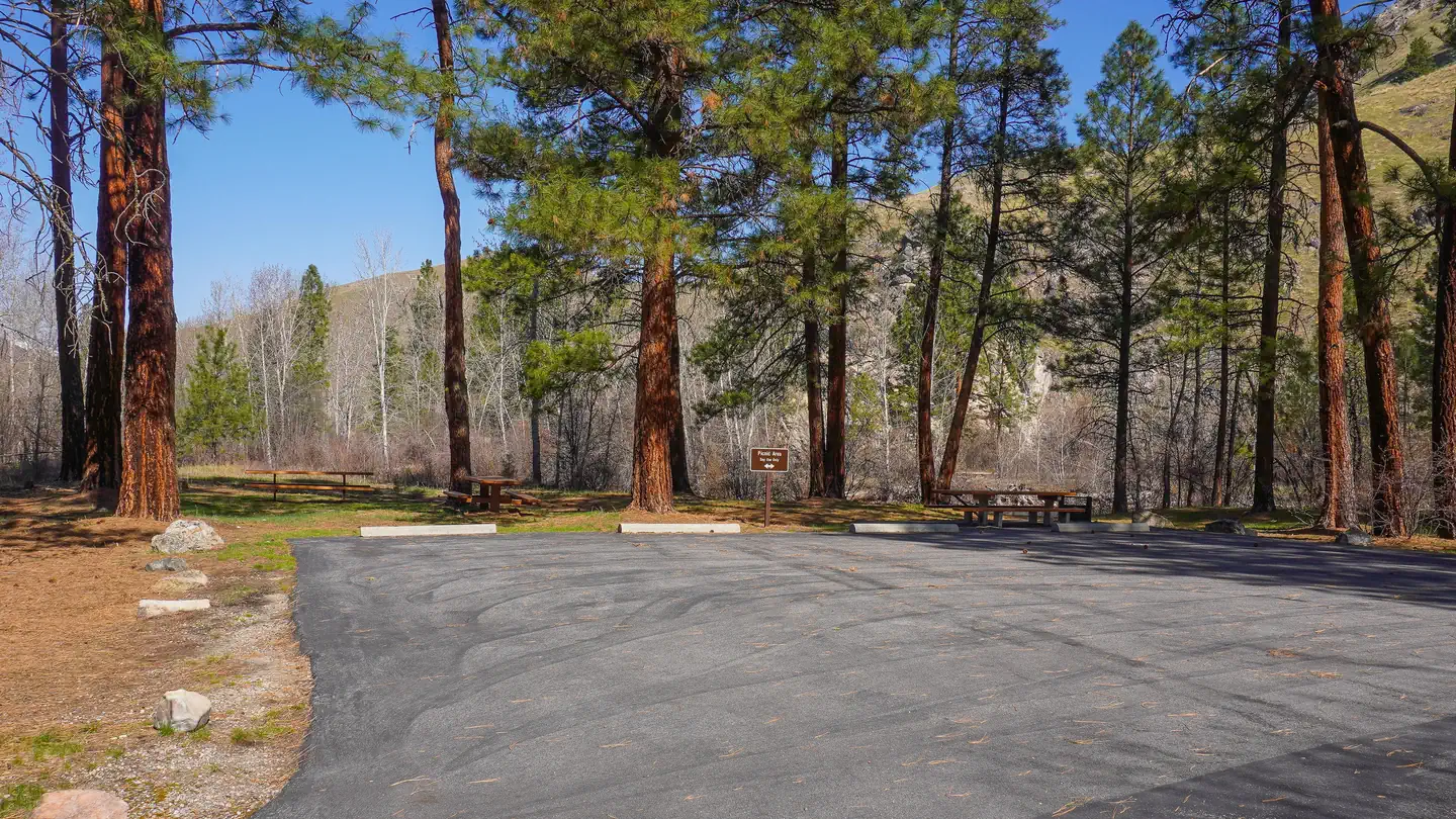
Cabin and lookout rentals nearby
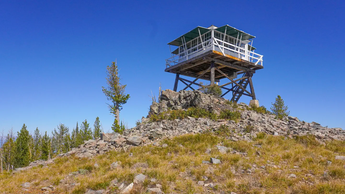
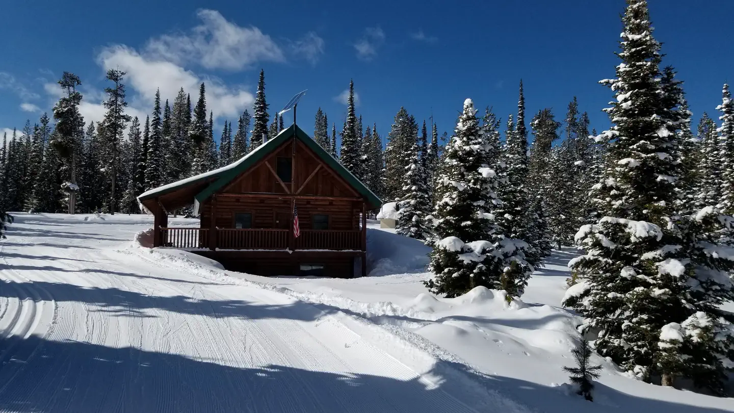
On the National Register nearby
- Medicine Point LookoutBuilding · Darby · 4.7 mi
- Boulder Point LookoutBuilding · Darby · 13 mi
Natural features
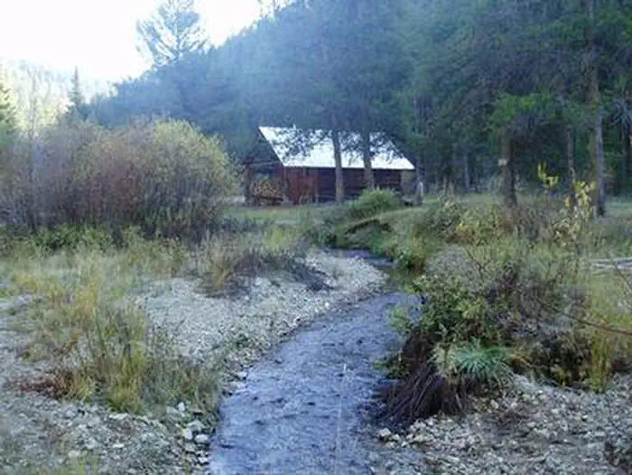
The rustic cabin is situated on Porcupine Creek, in a road-less area of the southern Bitterroot Mountains, at an elevation of about 5,600 feet. It was built in 1952 by Harry Twogood and Clifford Wetzsteon and was used throughout the 1970s as a range camp until it was opened to the public for recreation purposes. The Bitterroot forest is home to many species of wildlife, from mule deer, whitetail deer, elk, bighorn sheep, mountain goats, black bear, mountain lions, and moose to many varieties of smaller animals and birds.
Recreation
Fishing is popular in the adjacent stream and anglers might catch a variety of trout. At least two other mountain creeks are available in the area. The Warm Springs Creek is a larger stream and provides excellent fishing for cutthroat and other trout. Visitors also enjoy wading in the cool water. A variety of hiking, mountain biking and horseback riding trails follow the creek. The large, rolling meadows are a winter elk range. When the snow melts, moose and deer may be spotted in the meadows. The 6-mile hike includes several creek crossings. Off-road vehicles are not allowed on the trail, however, horses and other livestock are welcome. In the winter, the trails are popular for cross country skiing and snowshoeing.
Guidebooks for Montana
We earn a small commission if you buy through these links. It does not change what we list.

Titles come from Open Library's catalog, matched by subject heading or by title.
Reference
Questions people ask
Do I need a reservation at Twogood Cabin?
Sites at Twogood Cabin are reservable on Recreation.gov. Any walk-up sites are listed on the booking page.
Source: Recreation.gov
What time is check-in at Twogood Cabin?
Check-in 2:00 PM, checkout 12:00 PM.
Source: Recreation.gov
How many sites does Twogood Cabin have?
1 site, including 1 cabin.
Source: Recreation.gov
What is there to do at Twogood Cabin?
Fishing is popular in the adjacent stream and anglers might catch a variety of trout. The Recreation section on this page has the rest.
Source: Recreation
What is the nearest town to Twogood Cabin?
Sula, Montana. - Overwhich Falls
Source: Getting there
What if Twogood Cabin is full?
The nearest public campgrounds are Crazy Creek Campground (3.9 mi, first-come), Indian Trees Campground (4.3 mi), and Warm Springs Campground (5.8 mi, first-come).
Source: Campgrounds nearby