Spring Gulch
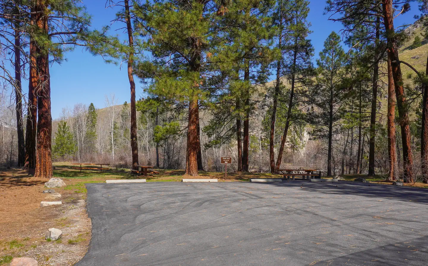
Spring Gulch Campground is a well-maintained campground located about 50 feet from the highway, on the banks of the scenic Bitterroot River. Visitors enjoy a variety of recreational opportunities, including hiking, mountain biking, fishing and swimming. The campground provides accessible sites and amenities, making it a comfortable spot for anyone to relax in the mountains of southwestern Montana.
More like this: reservable in Montana · big rigs in Montana · group sites in Montana
Check availability on Recreation.gov ↗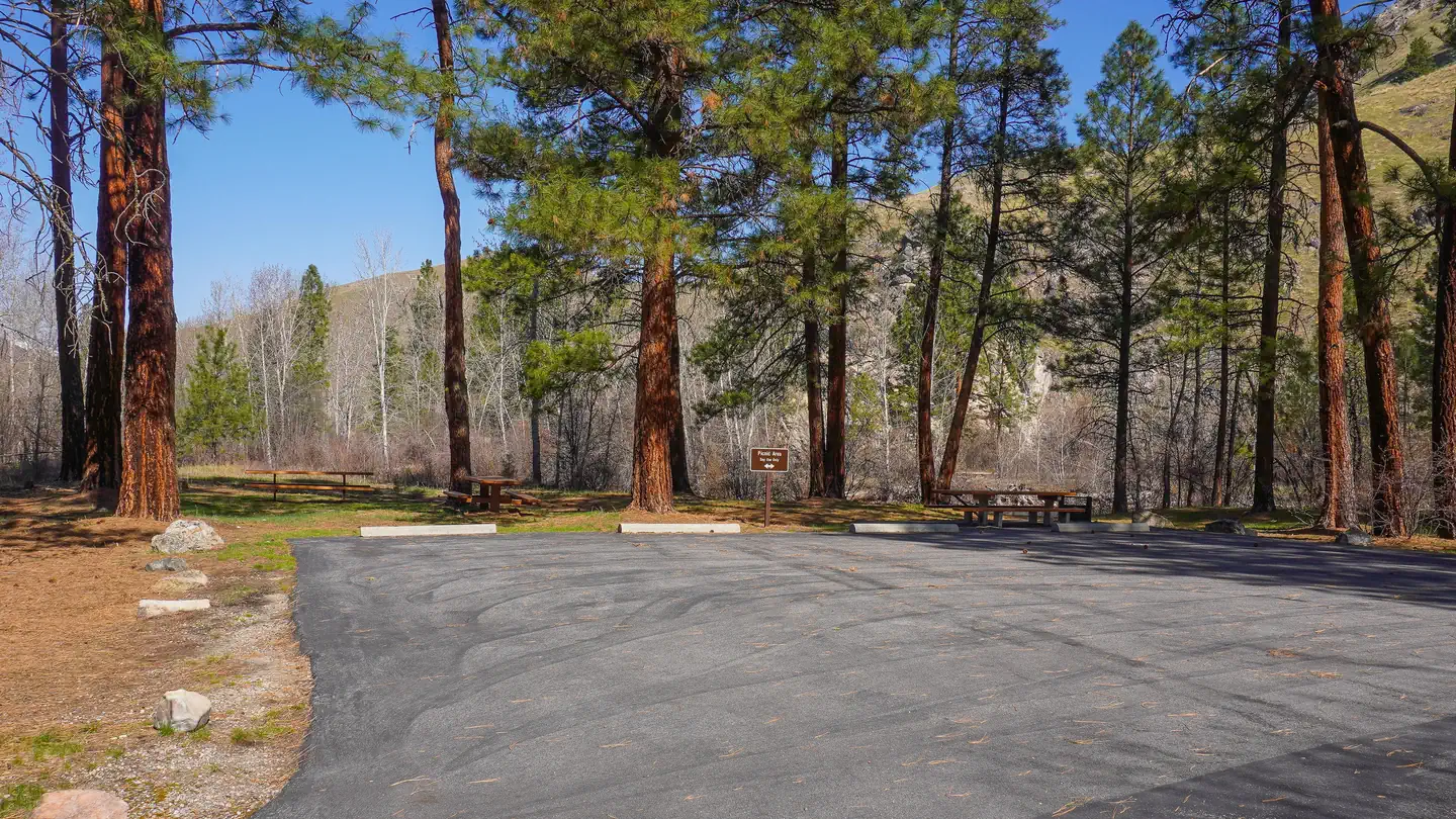
Site mix
| Standard, no hookups | 8 |
| RV, no hookups | 2 |
| Tent-only | 1 |
| group picnic area | 1 |
Site guide
Will my RV fit
The longest site here provides 99 feet of vehicle capacity. Most sites are shorter.
11 sites. Tap a filter to narrow the list; the map follows.
| Site | Type | Entry | Fits, ft | Surface | Shade | Waterfront | People / vehicles | Fires | Accessible |
|---|---|---|---|---|---|---|---|---|---|
| 001 | Standard | Back-in | 30 | Paved | Partial | 6 / 2 | Yes | ||
| 002 | Standard | Back-in | 30 | Paved | Partial | Riverfront | 6 / 2 | Yes | Yes |
| 003 | Standard | Back-in | 60 | Paved | Partial | Riverfront | 6 / 1 | Yes | |
| 004 | Standard | Pull-through | 99 | Paved | 6 / 2 | Yes | |||
| 006 | Standard | Back-in | 30 | Paved | Partial | Riverfront | 6 / 2 | Yes | |
| 007 | Standard | Back-in | 30 | Paved | Partial | 6 / 2 | Yes | ||
| 008 | RV | Back-in | 40 | Paved | Partial | 6 / 2 | Yes | ||
| 009 | RV | Back-in | 45 | Paved | Partial | 6 / 2 | Yes | ||
| 010 | Tent only | Back-in | 20 | Riverfront | 8 / – | ||||
| 011 | Standard | None | 6 / – | Yes |
Per-site records as published by the managing agency on Recreation.gov. Blank cells mean the agency listed nothing for that site. Check-in 2:00 PM, checkout 12:00 PM.
Amenities & rules
| Hookups | None |
| Max vehicle length | 65 ft |
| Equipment | RVs & trailers, Tents |
| Accessibility | Site 002 is listed accessible |
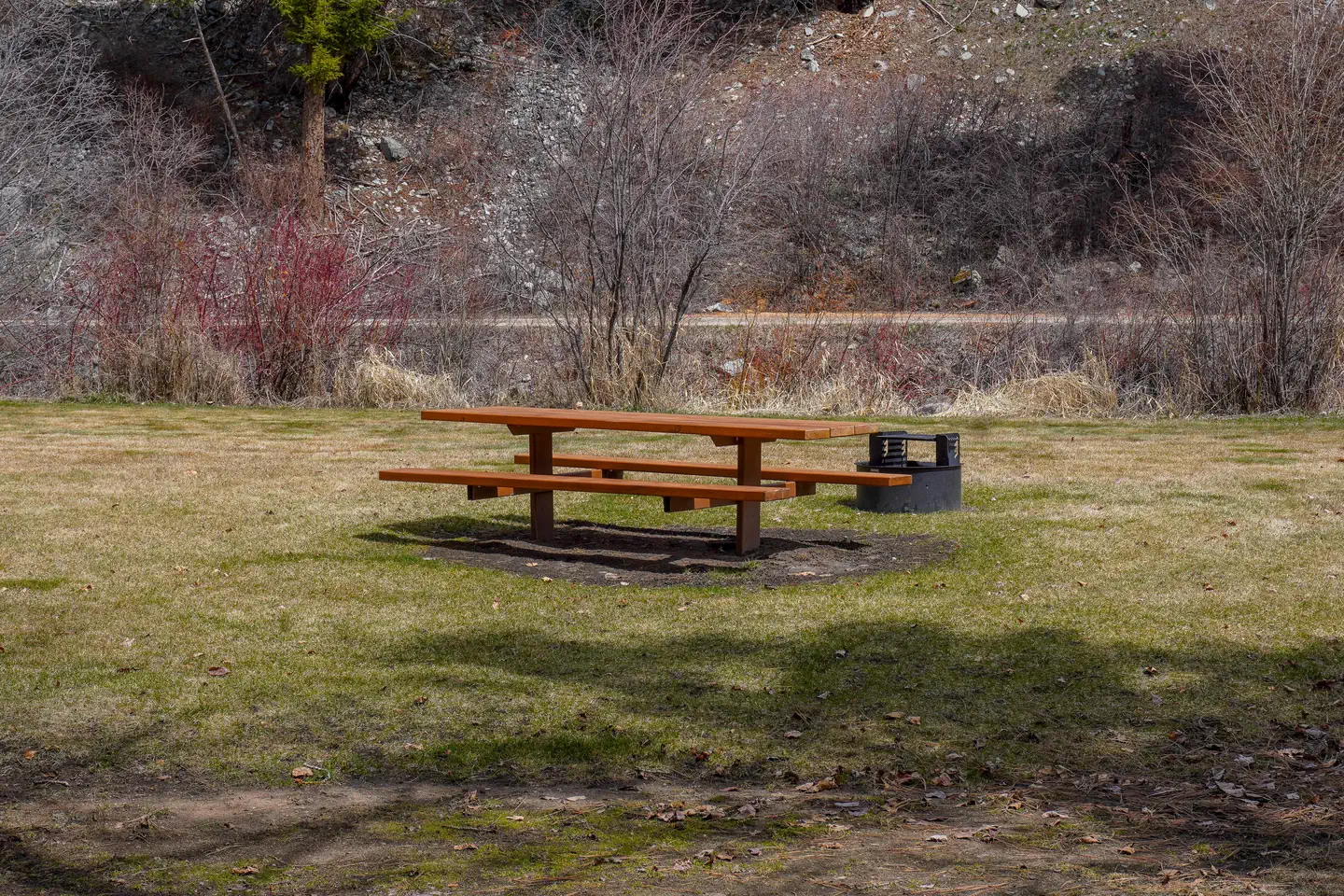
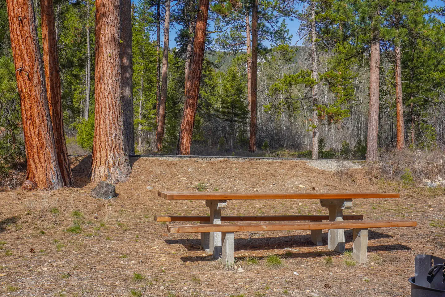
The campground offers single and double-family campsites, some of which are accessible. Picnic tables and campfire rings with grills are provided, as are accessible vault toilets and drinking water. RV hookups are not available.
Individual sites vary. Confirm on Recreation.gov or with the managing office.
Season & status
| Season | May |
| Forest | Bitterroot National Forest |
| Booking | Reserve a site by visiting Recreation.gov or by calling Toll Free 1-877-444-6777 (International 518-885-3639 or TDD 877-833-6777). |
| Fees | $15/Night for single unit, $5/Night for extra vehicle |
| Rules | Camping limited to 16 consecutive days. Quiet hours: 10:00 p.m. to 6:00 a.m. Pets must be leashed. |
Weather by month
Getting there
The campground is located in southwestern Montana, approximately 75 miles south of Missoula. From Sula, travel three miles northwest on Highway 93.
| Nearest town | Sula, Montana |
| Coordinates | 45.8586° N, 114.0231° W · Directions ↗ |
Fire nearby
- PrescribedRx D3 Cameron Gaps
7 mi from the campground · 1,100 acres
- PrescribedRx D4 Piquett Creek
9 mi from the campground · 2,210 acres
- PrescribedScf Nz Pile Burn Rx
17 mi from the campground · 34 acres
- WildfireSand Creek
40 mi from the campground · 35,520 acres · 83% contained
Distance is to the reported incident point, not the fire edge. Call the managing office before you drive.
Supplies & services
| RV sales & service | Hamilton RV Sales Of Montana ↗ | 29.3 mi |
Locations © OpenStreetMap contributors. Call ahead; hours change seasonally.
Explore
Video
A Review of Spring Gulch Camping Resort in New Holland PA
Worth a stop
The small town of Sula is less than five miles from the campground, offering gas and a post office.
- 3.9 miWarm Springs Trailhead ↗Trailhead
- 8 miNee Me Poo Trailhead ↗Trailhead
Trails nearby
- 0.5 miWarm Springs Ridge ↗14.4 mi trail
- 0.7 miLord Draw ↗6 mi trail
- 1.1 miLow Saddle Elk Point ↗1.6 mi trail
- 1.7 miTimber Road ↗2.8 mi trail
- 2.5 miWarm Springs Laird ↗2.4 mi trail
- 2.7 miWarm Springs ↗0.3 mi trail
Trail and trailhead records are the Forest Service's. Distances are straight-line to the nearer trail end. Trail conditions are not tracked here.
Public land it sits in
This campground sits inside Bitterroot National Forest.
- inBitterroot National Forest ↗National Forest · Forest Service · 1,664,512 acres
- 8.9 miBeaverhead-Deerlodge National Forest ↗National Forest · Forest Service · 3,614,456 acres
- 12.7 miSelway-Bitterroot Wilderness ↗Wilderness · Forest Service · 1,347,644 acres
Each unit is published as a centre point and an acreage rather than a boundary, so this section stands it in for a circle of the same area. Whether a campground is inside, and how far it is from one it is outside, are both approximate.
Other campgrounds nearby

Cabin and lookout rentals nearby
On the National Register nearby
- Medicine Point LookoutBuilding · Darby · 5.5 mi
- Boulder Point LookoutBuilding · Darby · 12.9 mi
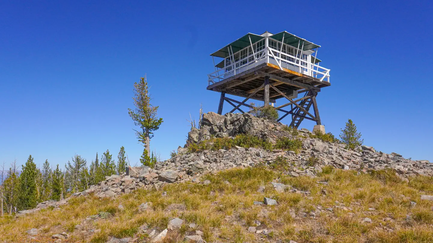
- McCart Fire LookoutStructure · Sula · 14.8 mi
Natural features
Located on the banks of the Bitterroot River, the campground is nestled in a ponderosa pine forest. It is easily accessible from Highway 93 and sits at an elevation of about 4,300 feet in the Bitterroot National Forest. A variety of wildlife, including big game like mule and white-tailed deer, elk and moose, makes its home in the area.
Recreation
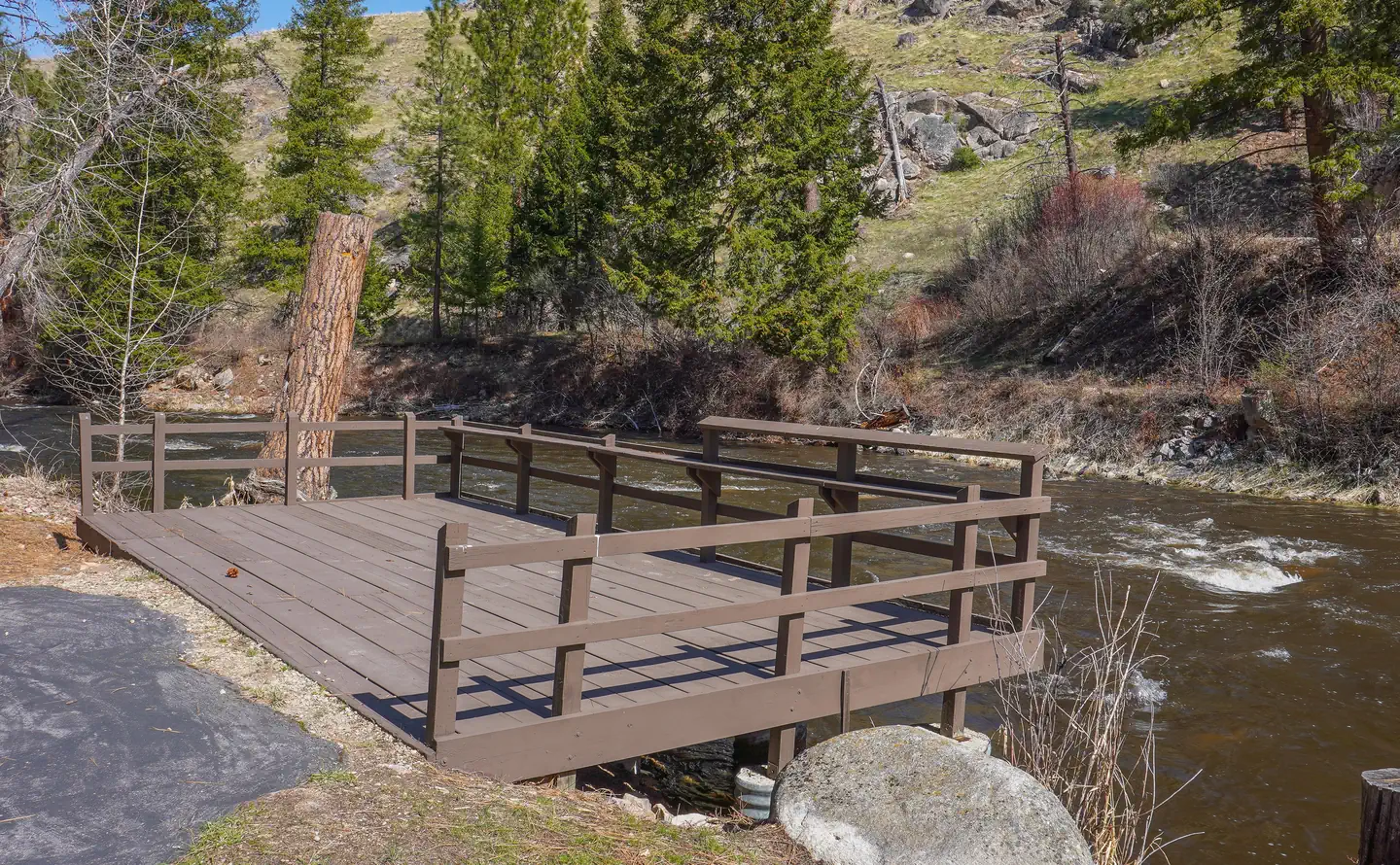
A number of hiking, biking and horseback riding trails can be accessed near the campground. The Continental Divide National Scenic Trail can be accessed not far from the campground, as well as trails that lead to the area's numerous mountain peaks. A variety of natural hot springs exist in the area, including Lost Trail Hot Springs, which is approximately seven miles south of the campground. The springs are popular places for swimming. A general store and lodging are located nearby. Rafting, canoeing, kayaking and fishing on the Bitterroot River are also popular activities. A short paved path meanders along the river and an accessible fishing dock is located within the campground. Anglers can expect to find mainly cutthroat trout, but other freshwater species are available.
Guidebooks for Montana
We earn a small commission if you buy through these links. It does not change what we list.

Titles come from Open Library's catalog, matched by subject heading or by title.
Reference
Questions people ask
Do I need a reservation at Spring Gulch?
Sites at Spring Gulch are reservable on Recreation.gov. Reserve a site by visiting Recreation.gov or by calling Toll Free 1-877-444-6777 (International 518-885-3639 or TDD 877-833-6777). Any walk-up sites are listed on the booking page.
Source: Recreation.gov
How much does it cost to camp at Spring Gulch?
$15/Night for single unit, $5/Night for extra vehicle
Source: Recreation.gov
What time is check-in at Spring Gulch?
Check-in 2:00 PM, checkout 12:00 PM.
Source: Recreation.gov
How many sites does Spring Gulch have?
12 sites, including 8 standard sites without power, 2 RV sites without hookups, 1 tent-only site, and 1 group picnic area.
Source: Recreation.gov
Will my RV fit at Spring Gulch?
The longest site here provides 65 feet of vehicle capacity. Most sites are shorter. The sidebar tool checks a trailer or motorhome length against every site.
Source: Will my RV fit
Are there accessible sites at Spring Gulch?
Site 002 is listed accessible on Recreation.gov. What that covers (a paved pad, an accessible table, a nearby accessible restroom) is on each site's booking page.
Source: Recreation.gov
Is there cell service at Spring Gulch?
FCC coverage maps show Verizon 5G at the campground point. Terrain changes that from one site to the next.
Source: FCC Broadband Map
What is there to do at Spring Gulch?
A number of hiking, biking and horseback riding trails can be accessed near the campground. The Recreation section on this page has the rest.
Source: Recreation
What is the nearest town to Spring Gulch?
Sula, Montana. The small town of Sula is less than five miles from the campground, offering gas and a post office.
Source: Getting there
What if Spring Gulch is full?
The nearest public campgrounds are Warm Springs Campground (1.4 mi, first-come), Crazy Creek Campground (3.9 mi, first-come), and Indian Trees Campground (7.8 mi).
Source: Campgrounds nearby