North Fork Campground
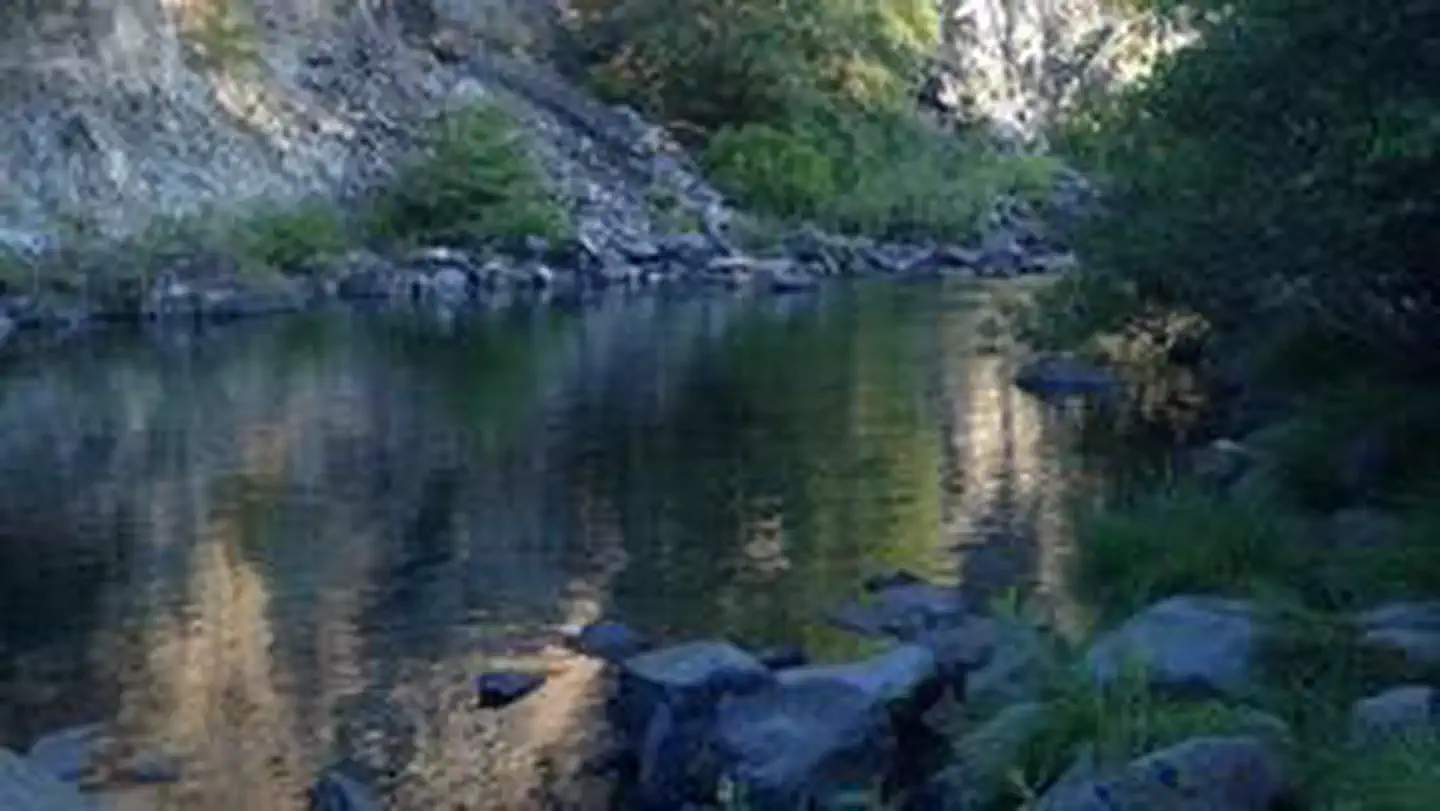
North Fork Campground is a quiet, semi-shaded, remote campground bordered by the North Fork of the Smith River. This is a perfect place to “get away from it all” and to stay before rafting the Wild North Fork. The campground is also popular with four-wheel-drive groups who enjoy driving the jeep trails and back roads of the area. The landscape surrounding the campground is dramatically steep and rocky. The vegetation is sparse due to the serpentine soil which stunts plant growth. The Biscuit Fire swept through the area in 2002, burning much of the vegetation in the surrounding area.
More like this: first-come in California

Season & status
| Status | Open |
| Forest | Six Rivers National Forest |
| Booking | No reservations available. Self-register at campground entrance kiosk. |
| Fees | $8/per night, $5/extra vehicle charge |
Weather by month
Getting there
It is a 2-hour drive over rocky gravel roads to reach the campground. High clearance is not required but large motorhomes are not advised. From the Visitor Center travel west on Highway 199 for 2.6 miles; turn right onto Forest Road 17N49 and travel 7.7 miles; turn right onto County Road 305 (Low Divide Road) and travel east 15 miles to Forest…
| Coordinates | 41.9791° N, 123.9607° W · Directions ↗ |
Fire nearby
- PrescribedPatterson Rx
41 mi from the campground
- PrescribedRoots & Shoots Rx: Or
45 mi from the campground
Distance is to the reported incident point, not the fire edge. Call the managing office before you drive.
Supplies & services
| Dump station | Dump station ↗ | 14.1 mi |
| Outdoor gear | Rogue Outdoor Store ↗ | 38.3 mi |
Locations © OpenStreetMap contributors. Call ahead; hours change seasonally.
Explore
Worth a stop
- 3 miSourdough Trailhead ↗Trailhead
- 13.4 miForks River Access And Boat Ramp ↗Boat launch
- 14.2 mi
Trails nearby
- 3 miSourdough3.8 mi trail · hiking, horse, bike
- 4.2 miNorth Fork Smith River ↗9.5 mi trail · hiking, horse, bike
- 4.6 miElk Camp Ridge ↗8.1 mi trail · hiking, horse, bike, motorcycle and 1 more
Trailheads within three miles
- 3 miSourdough Trailhead ↗Rogue River-Siskiyou National Forest
Trail and trailhead records are the Forest Service's. Distances are straight-line to the nearer trail end. Trail conditions are not tracked here.
Public land it sits in
This campground sits inside Rogue River-Siskiyou National Forests.
- inRogue River-Siskiyou National Forests ↗National Forest · Forest Service · 1,852,705 acres
- 11 miKalmiopsis Wilderness ↗Wilderness · Forest Service · 180,103 acres
Each unit is published as a centre point and an acreage rather than a boundary, so this section stands it in for a circle of the same area. Whether a campground is inside, and how far it is from one it is outside, are both approximate.
Other campgrounds nearby

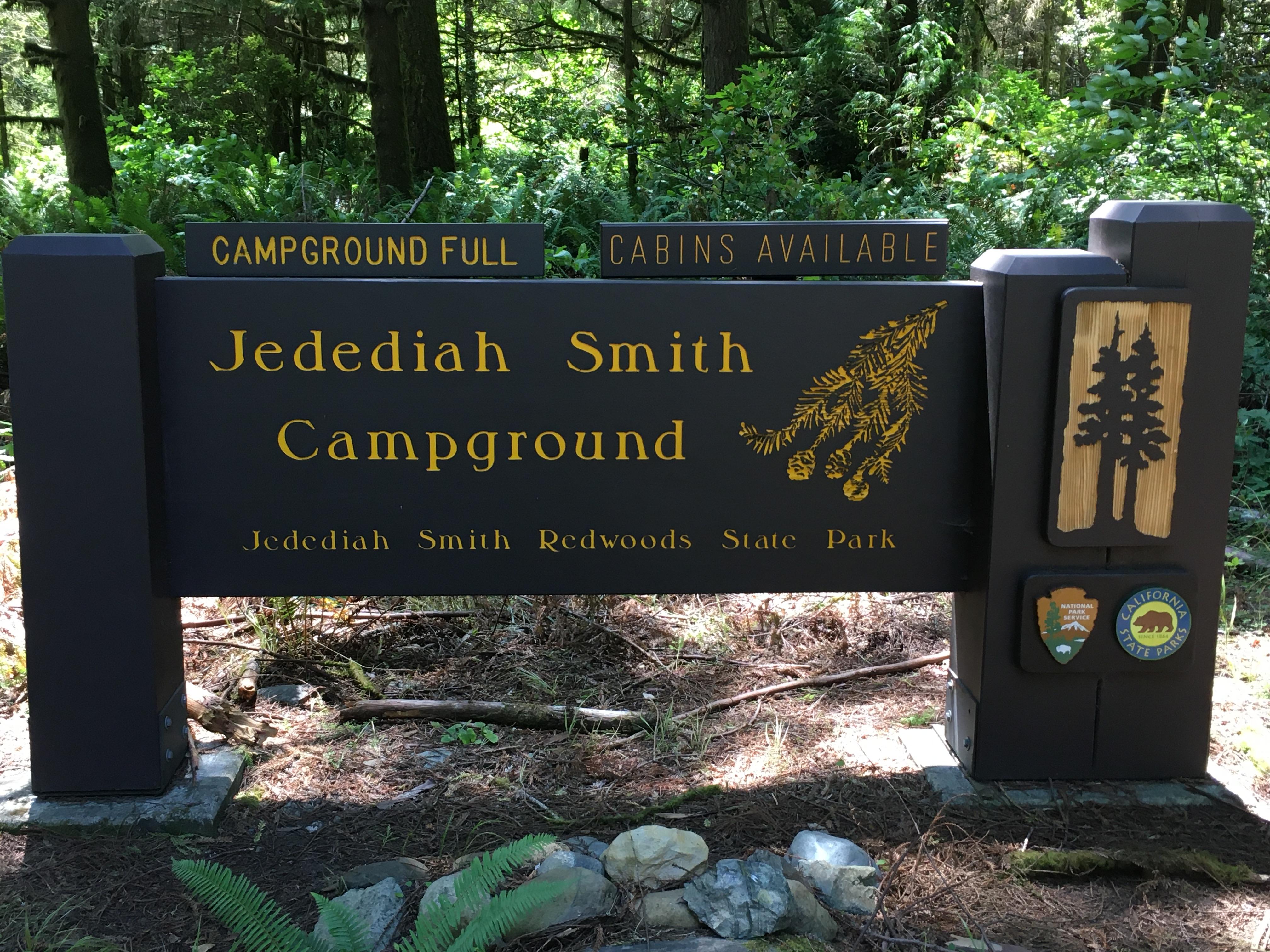
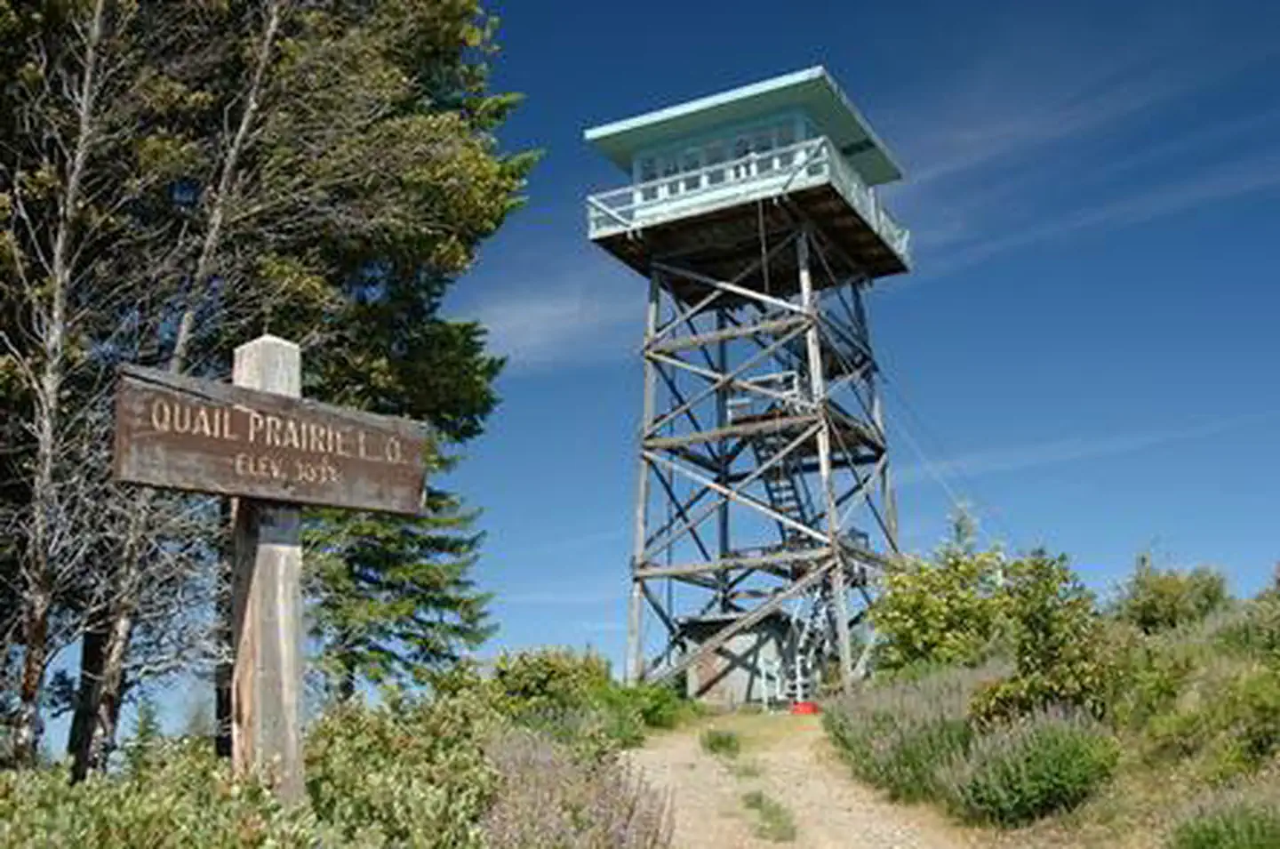
Cabin and lookout rentals nearby
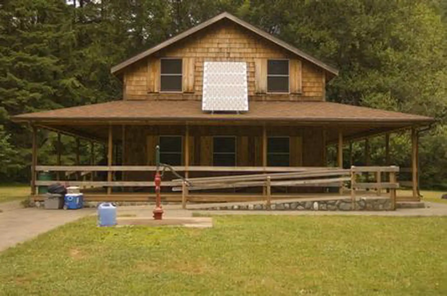
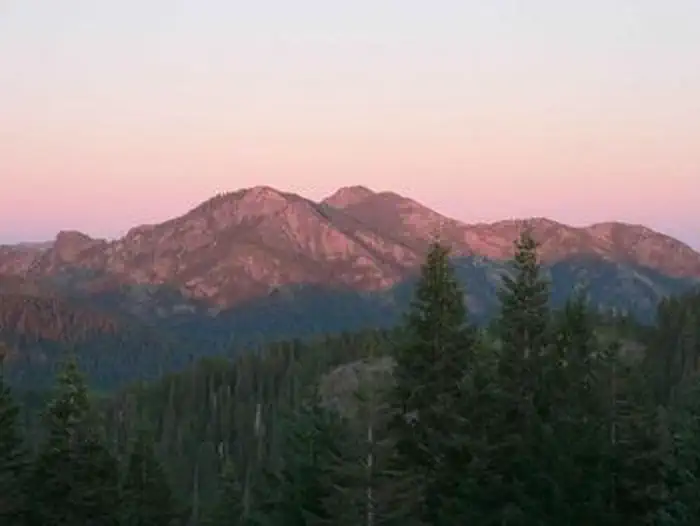
On the National Register nearby
- Gasquet Ranger Station Historic DistrictHistoric district · Gasquet · 9.3 mi
- Wheeler Ridge Japanese Bombing SiteSite · Brookings · 10.4 mi
Guidebooks for California
We earn a small commission if you buy through these links. It does not change what we list.

Titles come from Open Library's catalog, matched by subject heading or by title.
Reference
Questions people ask
Do I need a reservation at North Fork Campground?
No. North Fork Campground is first-come, first-served. No reservations available. Sites are taken on arrival and paid at the fee station.
Source: Forest Service
How much does it cost to camp at North Fork Campground?
$8/per night, $5/extra vehicle charge
Source: Forest Service
Is North Fork Campground open right now?
Open as of Oct 16, 2026.
Source: Forest Service status
What if North Fork Campground is full?
The nearest public campgrounds are Grassy Flat Campground (9.2 mi, partly first-come), Patrick Creek Campground (9.4 mi), and Panther Flat Campground (9.5 mi, partly first-come).
Source: Campgrounds nearby