Deer Flat Group Site (Horseshoe Bend Campground)
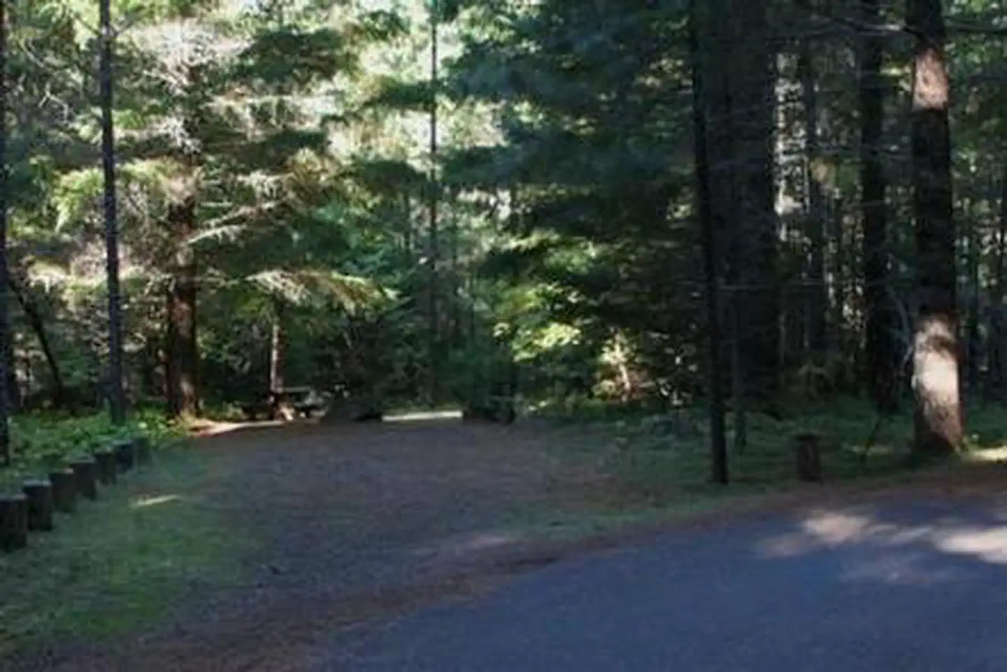
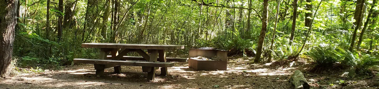
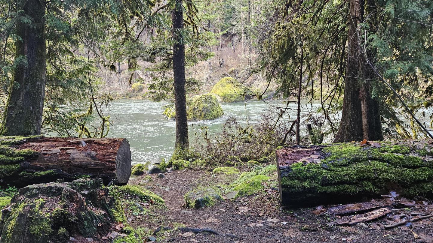
Deer Flat Group Campground is situated in a stand of old growth Douglas fir, sugar pine and deciduous trees, near the banks of the scenic North Umpqua River. The campground offers a perfect setting for large family and group camping excursions.
Some sites take reservations on Recreation.gov. Others are first-come, first-served.
More like this: first-come in Oregon · reservable in Oregon · pets allowed in Oregon · group sites in Oregon · accessible sites in Oregon
Check availability on Recreation.gov ↗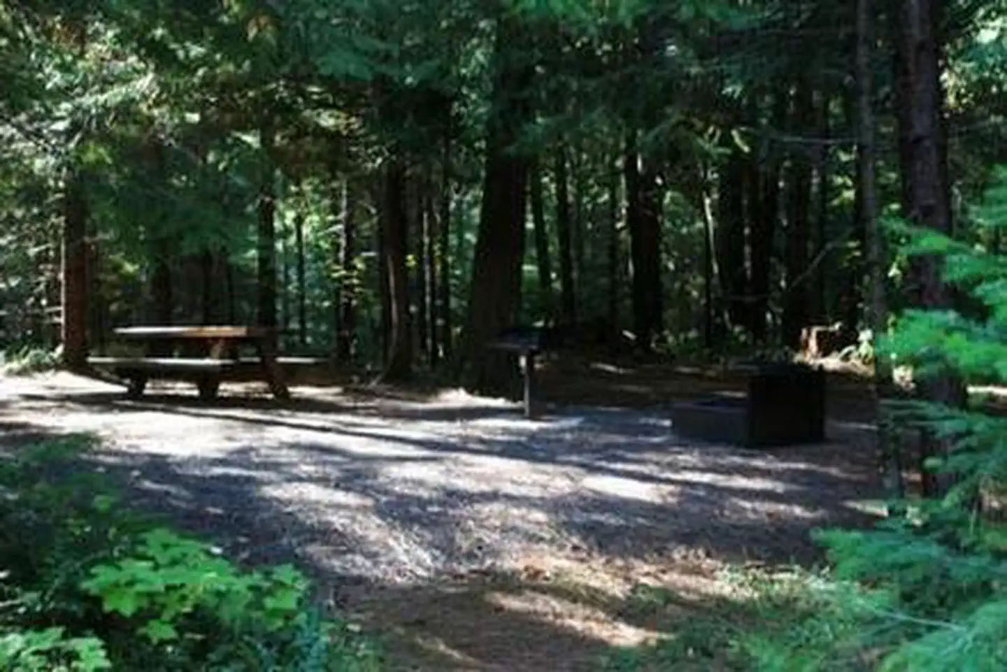
Site mix
| group standard area nonelectric | 1 |
Site guide
Will my RV fit
The longest site here provides 35 feet of vehicle capacity. Most sites are shorter.
1 site. Tap a filter to narrow the list; the map follows.
| Site | Entry | Fits, ft | Surface | Shade | People / vehicles | Fires | Accessible |
|---|---|---|---|---|---|---|---|
| GS1 | Back-in | 35 | Paved | Full | 70 / 25 | Yes | Yes |
Per-site records as published by the managing agency on Recreation.gov. Blank cells mean the agency listed nothing for that site. Check-in 1:00 PM, checkout 11:00 AM.
Amenities & rules
| Hookups | None |
| Max vehicle length | 35 ft |
| Equipment | RVs & trailers, Tents |
| Pets | Allowed |
| Fees | Reservation sites will be held until check out time (11am) the day following your arrival date. Sites must be occupied by the checkout time of that following day to hold a reservation or the site will be forfeited and released to other guests. |
| Accessibility | Site GS1 is listed accessible |
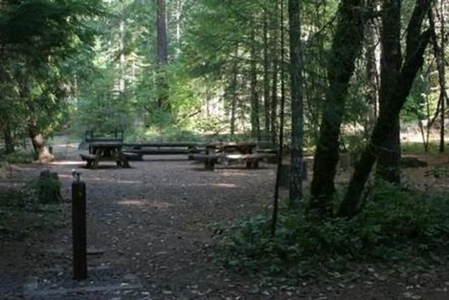
This large, reserve only site is able to accommodate up to 70 people. The site is equipped with several picnic tables, campfire rings, grills, flush toilets and drinking water. Roads and spurs in this campground are paved. Access to the North Umpqua River is within walking distance.
Individual sites vary. Confirm on Recreation.gov or with the managing office.
Season & status
| Status | Temporarily closed |
| Season | September |
| Forest | Umpqua National Forest |
| Booking | 25 sites can be reserved through www.recreation.gov |
| Fees | $15 for campsite. $5 for extra vehicle |
| Rules | Quiet hours between 10 p.m. and 6 a.m. Campfires allowed in developed fire pits when conditions allow - please see current Public Use Restrictions for current campfire restrictions. Fireworks are prohibited. Dogs must be on leash. OHV/ATV use prohibited in the campground. Maximum length of stay: 14 days |
Weather by month
Getting there
From Roseburg, Oregon, travel east on OR-138/ NE Diamond Lake Blvd. for 48 miles. Turn right on Forest Service Road 4750 then right again on Road 4750-001 into the campground. The reservation area is to the right at first road junction inside campground.
| Nearest town | Glide, Oregon |
| Coordinates | 43.2885° N, 122.6274° W · Directions ↗ |
Fire nearby
- PrescribedRx Cold Springs
17 mi from the campground · 158 acres
- PrescribedRx Long Prairie
38 mi from the campground · 112 acres
Distance is to the reported incident point, not the fire edge. Call the managing office before you drive.
Supplies & services
| Dump station | Mazama Campground Dump Station ↗ | 37.3 mi |
| Outdoor gear | Sportsman's Warehouse ↗ | 37.7 mi |
| RV sales & service | Oregon West RV ↗ | 48 mi |
Locations © OpenStreetMap contributors. Call ahead; hours change seasonally.
Explore
Video
Horseshoe Bend Campground - Big River SF - VIC
Worth a stop
Opportunities for hiking, mountain biking, boating and fishing are within 1 mile of the campground. Access to climbing routes is within 10 miles. Visitors may want to take some time to visit nearby Crater Lake National Park, the only national park in Oregon! The amazing Crater Lake area offers a glimpse into the volcanic history of the area. Experience 172 miles of diverse river and mountain landscapes along the Rogue-Umpqua National Scenic Byway. Travel from rolling oak-covered hills and towering coniferous forests, to roaring white water rapids and incised intercanyon lava flows. The highway travels alongside the Upper Rogue and North Umpqua Wild and Scenic Rivers that contain world-class fisheries.
- 4.7 miTwin Lakes West Trailhead ↗Trailhead
- 7.1 miBradley Trailhead ↗Trailhead
Trails nearby
- 0.2 miHorseshoe Bend0.2 mi trail · hiking, horse, bike
- 0.8 miNfst-47500800.3 mi trail · hiking, horse, bike, motorcycle and 2 more
- 0.8 miNfst-47501000.4 mi trail · hiking, horse, bike, motorcycle and 2 more
- 0.9 miNfst-47504400.2 mi trail · hiking, horse, bike, motorcycle and 2 more
- 1 miNfst-47203400.2 mi trail · hiking, horse, bike, motorcycle and 2 more
- 1.1 miNfst-47204100.5 mi trail · hiking, horse, bike, motorcycle and 2 more
Trail and trailhead records are the Forest Service's. Distances are straight-line to the nearer trail end. Trail conditions are not tracked here.
Public land it sits in
This campground sits inside Umpqua National Forest.
- inUmpqua National Forest ↗National Forest · Forest Service · 1,035,837 acres
- 4.8 miBoulder Creek Wilderness ↗Wilderness · Forest Service · 19,918 acres
- 13.6 miRogue-Umpqua Divide Wilderness ↗Wilderness · Forest Service · 35,749 acres
Each unit is published as a centre point and an acreage rather than a boundary, so this section stands it in for a circle of the same area. Whether a campground is inside, and how far it is from one it is outside, are both approximate.
Other campgrounds nearby

Cabin and lookout rentals nearby
Natural features
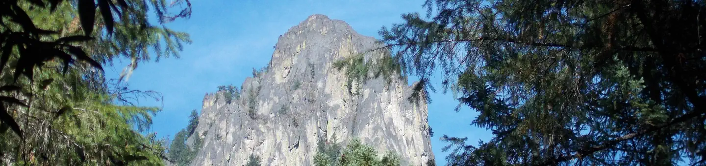
Visitors to Umpqua National Forest are often taken aback by the unique landscapes of southwestern Oregon. Explosive geologic events have shaped the distinctive landscape on the nearly 1 million-acre forest, and provide spectacular scenery as well as an abundance of natural and cultural resources. The translation of the word, "Umpqua," meaning "thundering waters," defines the area. High mountain lakes, heart-stopping rapids, peaceful ponds and thundering waterfalls, including the 272-foot Watson Falls on the North Umpqua Highway, offer visitors plenty of pastimes. Diverse ecosystems support a wide range of habitat for wildlife common to the area. From eagles and owls, to salamanders and salmon, these species, along with many others, depend on surrounding undeveloped wilderness, clean streams and diverse forests to live.
Recreation
Deer Flat is a prime location for hiking, fishing, biking, and boating in summer and early fall. The North Umpqua River, adjacent to this campground, drains portions of the western side of the Cascade Range. Almost 34 miles of this river have been designated as a Wild and Scenic River. Renowned for outstanding salmon and steelhead fishing and exhilarating whitewater challenges, the North Umpqua River offers an ideal setting for many recreational pursuits. The Illahee Flat Trail descends from the nearby Horseshoe Bend Campground and continues from Illahee Flat to the Jessie Wright Segment of the North Umpqua Trail. The 79 mile North Umpqua Trail parallels the river and offers visitors challenging hiking and mountain biking experiences.
Guidebooks for Oregon
We earn a small commission if you buy through these links. It does not change what we list.

Titles come from Open Library's catalog, matched by subject heading or by title.
Reference
Questions people ask
Do I need a reservation at Deer Flat Group Site (Horseshoe Bend Campground)?
For some sites. Some sites take reservations on Recreation.gov. Others are first-come, first-served.
Source: Recreation.gov
How much does it cost to camp at Deer Flat Group Site (Horseshoe Bend Campground)?
Reservation sites will be held until check out time (11am) the day following your arrival date. Sites must be occupied by the checkout time of that following day to hold a reservation or the site will be forfeited and released to other guests.
Source: Recreation.gov
What time is check-in at Deer Flat Group Site (Horseshoe Bend Campground)?
Check-in 1:00 PM, checkout 11:00 AM.
Source: Recreation.gov
Is Deer Flat Group Site (Horseshoe Bend Campground) open right now?
Temporarily closed as of Oct 16, 2026. Season September.
Source: Forest Service status
How many sites does Deer Flat Group Site (Horseshoe Bend Campground) have?
1 site, including 1 group standard area nonelectric.
Source: Recreation.gov
Will my RV fit at Deer Flat Group Site (Horseshoe Bend Campground)?
The longest site here provides 35 feet of vehicle capacity. Most sites are shorter. The sidebar tool checks a trailer or motorhome length against every site.
Source: Will my RV fit
Are there showers or a dump station at Deer Flat Group Site (Horseshoe Bend Campground)?
The site is equipped with several picnic tables, campfire rings, grills, flush toilets and drinking water.
Source: Recreation.gov
Are pets allowed at Deer Flat Group Site (Horseshoe Bend Campground)?
Yes, pets are allowed at Deer Flat Group Site (Horseshoe Bend Campground). Leash rules apply.
Source: Recreation.gov
Are there accessible sites at Deer Flat Group Site (Horseshoe Bend Campground)?
Site GS1 is listed accessible on Recreation.gov. What that covers (a paved pad, an accessible table, a nearby accessible restroom) is on each site's booking page.
Source: Recreation.gov
What is there to do at Deer Flat Group Site (Horseshoe Bend Campground)?
Deer Flat is a prime location for hiking, fishing, biking, and boating in summer and early fall. The Recreation section on this page has the rest.
Source: Recreation
What is the nearest town to Deer Flat Group Site (Horseshoe Bend Campground)?
Glide, Oregon. Opportunities for hiking, mountain biking, boating and fishing are within 1 mile of the campground.
Source: Getting there
What if Deer Flat Group Site (Horseshoe Bend Campground) is full?
The nearest public campgrounds are Horseshoe Bend Campground (under 0.1 mi), Apple Creek Campground (2.8 mi, first-come), and Eagle Rock Campground (3.7 mi).
Source: Campgrounds nearby