Steamboat Ball Field Group Site
Steamboat Ball Field Group Site sits near the banks of the North Umpqua River under a canopy of forest. With access to a multitude of recreational opportunities, including a ball field, river access and a handful of trailheads within the area, this campsite offers an ideal setting for group camping and recreation excursions.
More like this: reservable in Oregon · tent only in Oregon · pets allowed in Oregon · group sites in Oregon · accessible sites in Oregon
Check availability on Recreation.gov ↗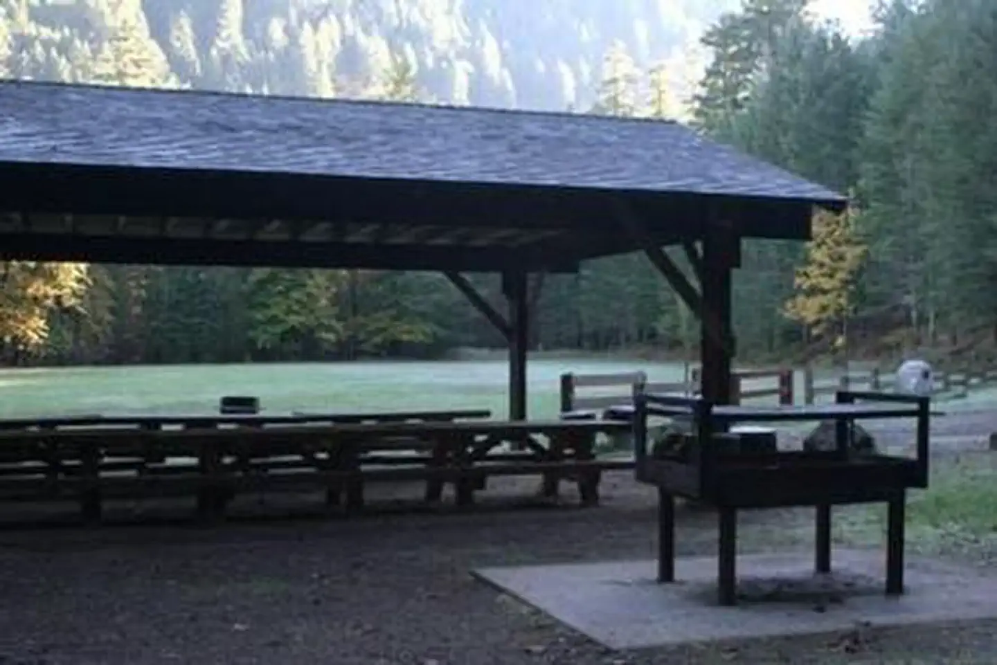
Site mix
| Group tent areas | 1 |
Site guide
1 site. Tap a filter to narrow the list; the map follows.
| Site | Surface | Shade | People / vehicles | Accessible |
|---|---|---|---|---|
| G01 | Gravel | Full | 100 / 25 | Yes |
Per-site records as published by the managing agency on Recreation.gov. Blank cells mean the agency listed nothing for that site. Check-in 1:00 PM, checkout 11:00 AM.
The site record lists 25 vehicles. The campground description says up to 20 vehicles.
Amenities & rules
| Equipment | Tents |
| Pets | Allowed |
| Accessibility | Site G01 is listed accessible |
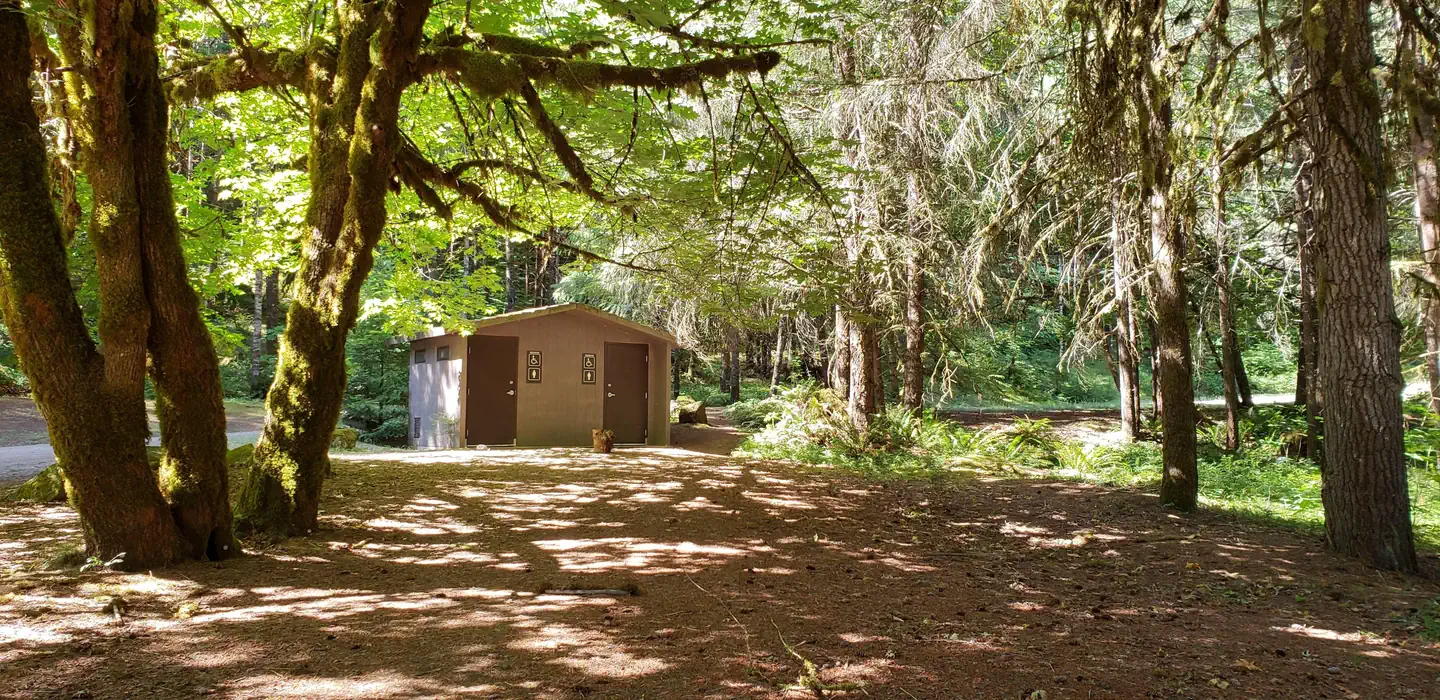
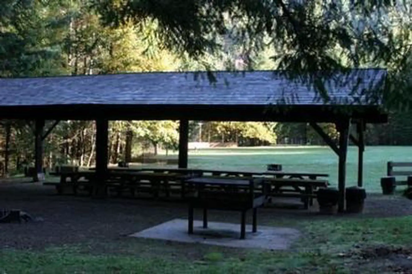
This campground has one large reservation only group site able to accommodate up to 100 people and a maximum of 20 vehicles. The site is equipped with picnic tables, campfire rings, grills and accessible vault toilets. A baseball field, horseshoe pits and picnic shelter are available for use.
Individual sites vary. Confirm on Recreation.gov or with the managing office.
Season & status
| Status | Temporarily closed |
| Forest | Umpqua National Forest |
| Booking | Reservations only. Reservations can be made at Steamboat Ball Field Group Site, Umpqua National Forest - Recreation.gov |
| Rules | Quiet hours between 10 p.m. and 6 a.m. Campfires in developed fire pits only. Fireworks are prohibited. Dogs must be on leash. OHV/ATV use prohibited in the campground. Maximum length of stay: 14 days |
Weather by month
Getting there
From Roseburg, OR take OR-138 E/NE Diamond Lake Blvd. Travel east on Highway 138 for 39 miles to Forest Service Road (FSR) 4712/Mott Bridge. Turn right FSR 4712, cross the river, then turn left on FSR 4712-009 to the site. The reservation area is at the end of the road.
| Nearest town | Glide, Oregon |
| Coordinates | 43.3399° N, 122.7285° W · Directions ↗ |
Fire nearby
- PrescribedRx Cold Springs
22 mi from the campground · 158 acres
- PrescribedRx Long Prairie
39 mi from the campground · 112 acres
Distance is to the reported incident point, not the fire edge. Call the managing office before you drive.
Supplies & services
| Outdoor gear | Sportsman's Warehouse ↗ | 33.2 mi |
| Dump station | Dump station ↗ | 36.5 mi |
| RV sales & service | Oregon West RV ↗ | 42.8 mi |
Locations © OpenStreetMap contributors. Call ahead; hours change seasonally.
Explore
Worth a stop
Hikers will enjoy the 79-mile North Umpqua Trail which begins in the Mount Thielsen Wilderness at Maidu Lake and follows the river to the confluence with Rock Creek. Sections of this trail are also open to mountain bikes and stock. There are opportunities for fishing within 1 mile of the campground, and within 10 miles a non-motorized boat ramp, and places for swimming and berry picking.
- 10.3 miTwin Lakes West Trailhead ↗Trailhead
- 12.3 miBradley Trailhead ↗Trailhead
Trails nearby
- 0.6 miRiverview ↗6.1 mi trail · hiking, horse, bike, motorcycle and 2 more
- 0.8 miNfst-38030010.4 mi trail · hiking, horse, bike, motorcycle and 2 more
- 0.9 miNfst-47005501.4 mi trail · hiking, horse, bike, motorcycle and 2 more
- 0.9 miNfst-47120331.3 mi trail · hiking, horse, bike, motorcycle and 2 more
- 0.9 miNfst-47120360.6 mi trail · hiking, horse, bike, motorcycle and 2 more
- 1.8 miNfst-47120310.2 mi trail · hiking, horse, bike, motorcycle and 2 more
Trail and trailhead records are the Forest Service's. Distances are straight-line to the nearer trail end. Trail conditions are not tracked here.
Public land it sits in
This campground sits inside Umpqua National Forest.
- inUmpqua National Forest ↗National Forest · Forest Service · 1,035,837 acres
- 8.6 miBoulder Creek Wilderness ↗Wilderness · Forest Service · 19,918 acres
Each unit is published as a centre point and an acreage rather than a boundary, so this section stands it in for a circle of the same area. Whether a campground is inside, and how far it is from one it is outside, are both approximate.
Other campgrounds nearby
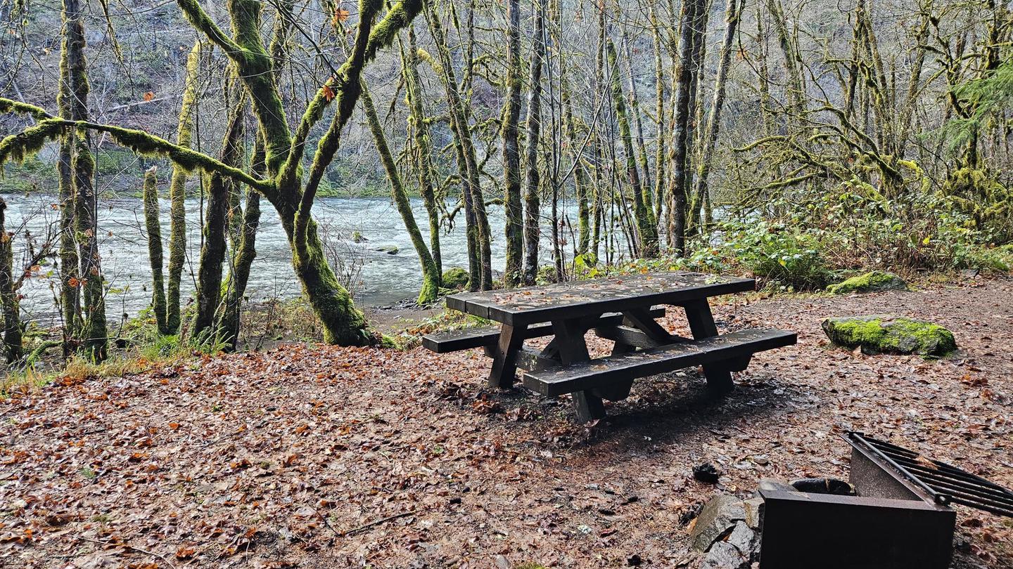
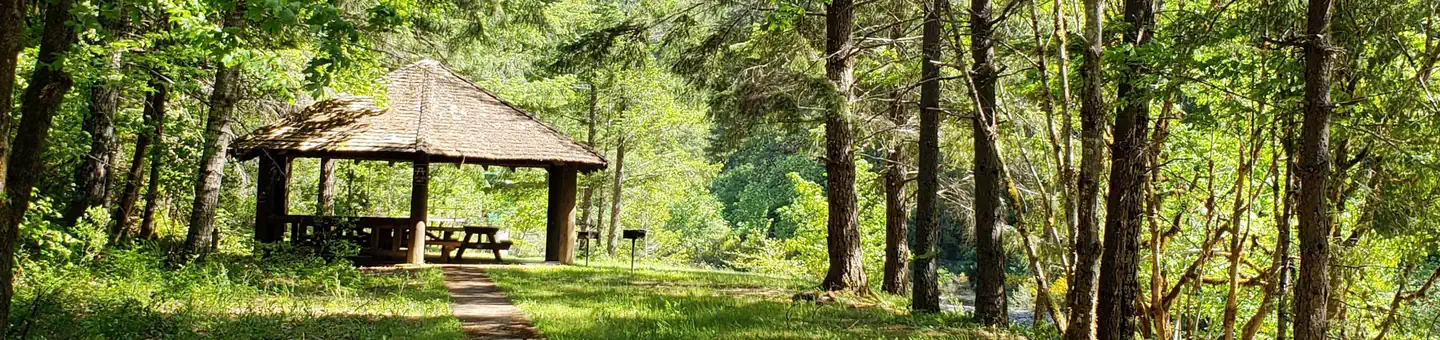
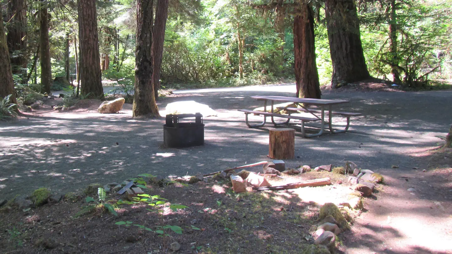

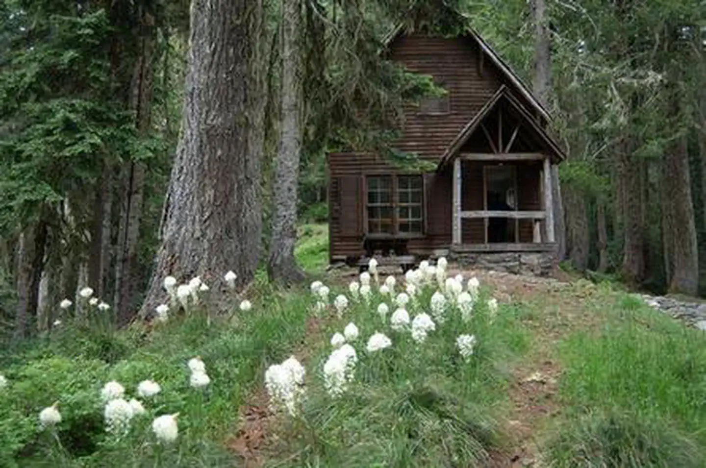
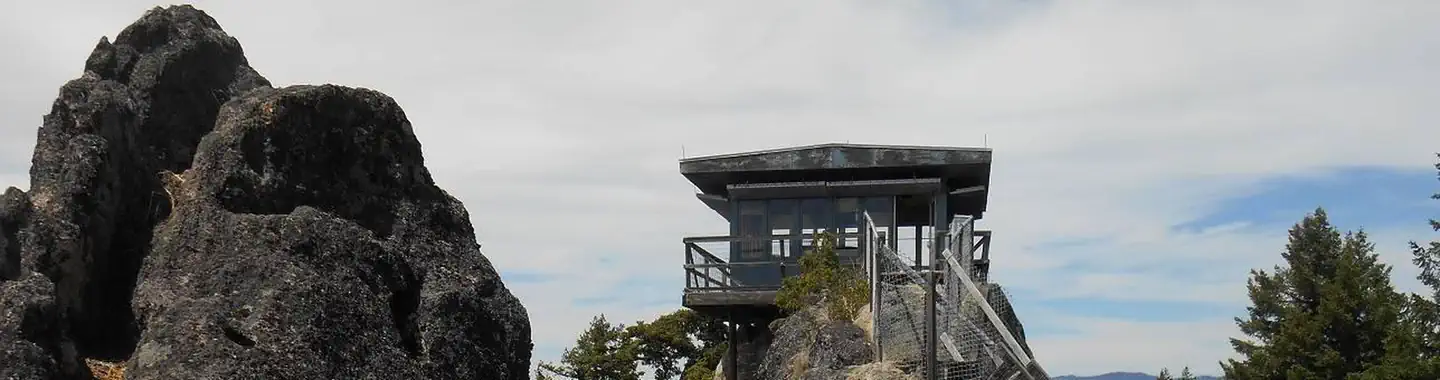
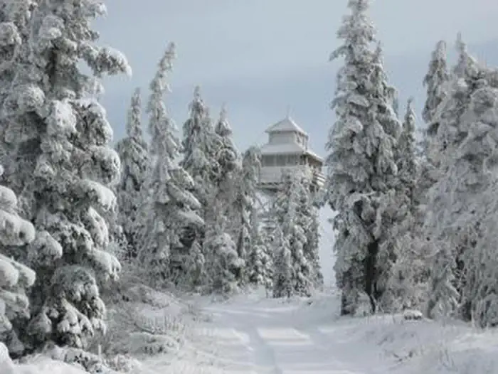
Cabin and lookout rentals nearby
Natural features
Visitors to Umpqua National Forest are often taken aback by the unique landscapes of southwestern Oregon. Explosive geologic events have shaped the distinctive landscape on the nearly 1 million-acre forest, and provide spectacular scenery as well as an abundance of natural and cultural resources. Flowing adjacent to this campground is the North Umpqua River, a tributary of the Umpqua River, and a designated National Wild and Scenic River. Possessing remarkable values related to fisheries, culture, recreation and scenery, the North Umpqua River is renowned for its emerald green waters and fly fishing. Several designated wilderness areas provide undisturbed solitude for visitors. Encompassing 19,100 acres, Boulder Creek Wilderness offers dense old-growth forests and steep terrain that tower above Boulder Creek, which runs through the heart of the wilderness. Diverse ecosystems support a wide range of habitat for wildlife common to the area. From eagles and owls, to salamanders and salmon, these species, along with many others, depend on surrounding undeveloped wilderness, clean streams, and diverse forests to live.
Recreation
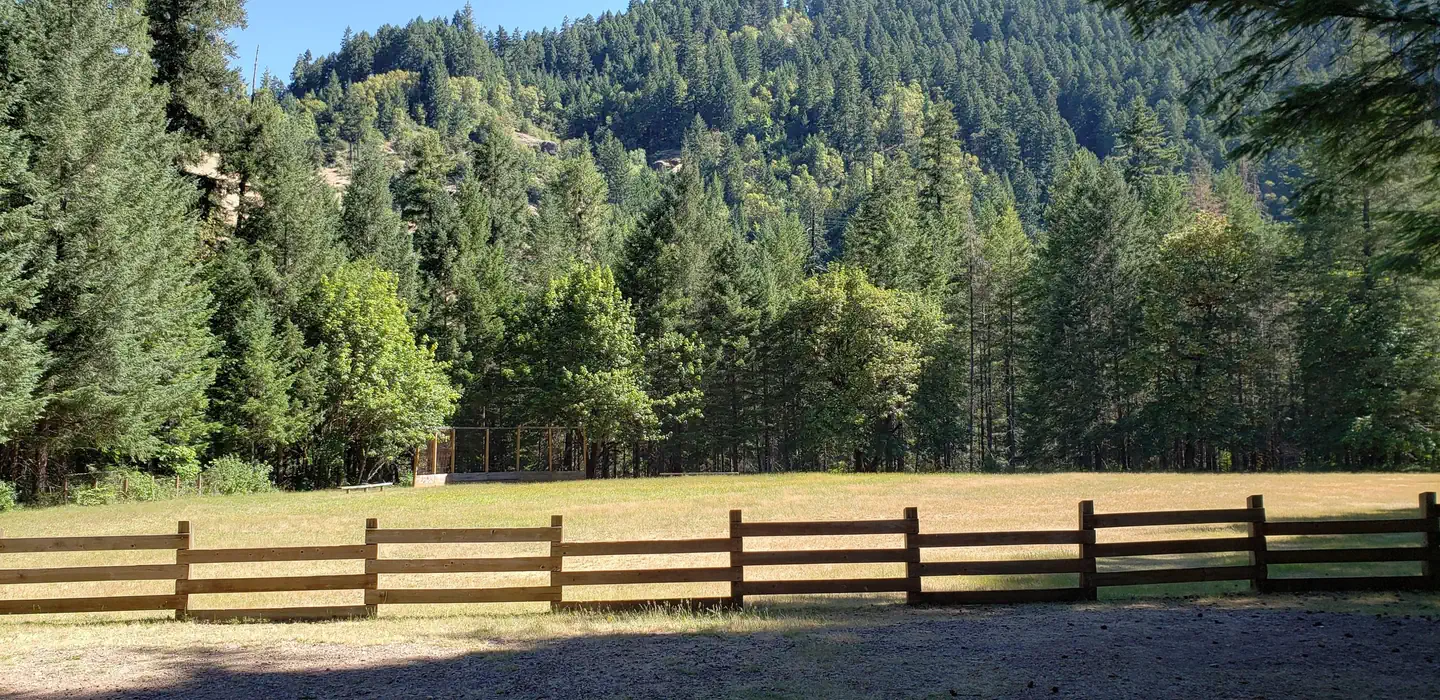
Fishing, hiking and swimming top the list of activities at this site. With wide open spaces, along with a ball field and horseshoe pits, this campground offers visitors plenty of recreational opportunities. A forested bank and mountainous backdrop to the North Umpqua River is a perfect setting for both swimmers braving its cold, refreshing waters, and for anglers fishing for rainbow, steelhead and cutthroat trout. A picnic shelter and large grill provide the perfect setting for gathering after a day of activity or relaxation.
Guidebooks for Oregon
We earn a small commission if you buy through these links. It does not change what we list.

Titles come from Open Library's catalog, matched by subject heading or by title.
Reference
Questions people ask
Do I need a reservation at Steamboat Ball Field Group Site?
Sites at Steamboat Ball Field Group Site are reservable on Recreation.gov. Reservations only. Any walk-up sites are listed on the booking page.
Source: Recreation.gov
What time is check-in at Steamboat Ball Field Group Site?
Check-in 1:00 PM, checkout 11:00 AM.
Source: Recreation.gov
Is Steamboat Ball Field Group Site open right now?
Temporarily closed as of Oct 16, 2026.
Source: Forest Service status
How many sites does Steamboat Ball Field Group Site have?
1 site, including 1 group tent area.
Source: Recreation.gov
Can I bring an RV to Steamboat Ball Field Group Site?
Steamboat Ball Field Group Site is listed for tents only.
Source: Recreation.gov
Are pets allowed at Steamboat Ball Field Group Site?
Yes, pets are allowed at Steamboat Ball Field Group Site. Leash rules apply.
Source: Recreation.gov
Are there accessible sites at Steamboat Ball Field Group Site?
Site G01 is listed accessible on Recreation.gov. What that covers (a paved pad, an accessible table, a nearby accessible restroom) is on each site's booking page.
Source: Recreation.gov
What is there to do at Steamboat Ball Field Group Site?
Fishing, hiking and swimming top the list of activities at this site. The Recreation section on this page has the rest.
Source: Recreation
What is the nearest town to Steamboat Ball Field Group Site?
Glide, Oregon. Hikers will enjoy the 79-mile North Umpqua Trail which begins in the Mount Thielsen Wilderness at Maidu Lake and follows the river to the confluence with Rock Creek.
Source: Getting there
What if Steamboat Ball Field Group Site is full?
The nearest public campgrounds are Island Campground (0.2 mi, first-come), Canton Creek Campground (0.6 mi), and Scaredman Recreation Site (3.2 mi).
Source: Campgrounds nearby