Fall Mountain Lookout Cabin
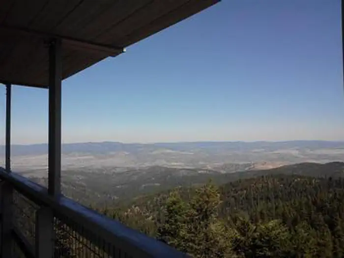
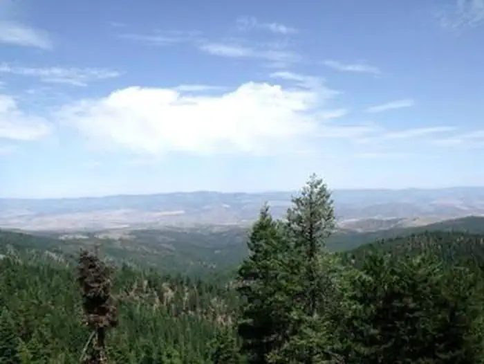
Fall Mountain Lookout Tower is situated about 20 miles from John Day, in central Oregon. It provides 360-degree views of the surrounding Strawberry Mountain Wilderness, as well as the towns of Seneca and Mt. Vernon. The lookout offers access to a variety of recreational activities. In addition to sightseeing, visitors to the area enjoy hunting, hiking and viewing wildlife. The lookout can accommodate just two people and provides few amenities. It can be accessed by vehicle. Guests are responsible for their own travel arrangements and safety, and must bring many of their own supplies.
Check availability on Recreation.gov ↗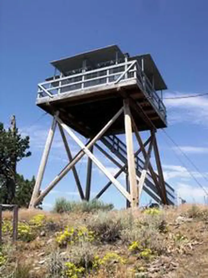
Site mix
| Cabins with electric | 1 |
Site guide
1 site. Tap a filter to narrow the list; the map follows.
| Site | Surface | People / vehicles |
|---|---|---|
| 01 | Gravel | 2 / 2 |
Per-site records as published by the managing agency on Recreation.gov. Blank cells mean the agency listed nothing for that site. Check-in 4:00 PM, checkout 12:00 PM.
Amenities & rules
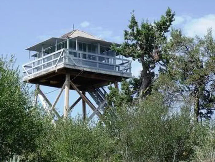
The one-room, 14-by-14 cabin sits atop an 18-foot tower and sleeps two. The cabin is furnished with a futon bed and a table and chairs. It has electricity and in the kitchen area, an electric stove and refrigerator. The kitchen also contains pots, pans, dishes and tableware. A catwalk encircles the structure, allowing for unobstructed views of the surrounding area. A vault toilet is located near the base of the tower. There is no water available on site. Guests must bring their own water for drinking, cooking and washing, as well as sleeping bags/bedding, a flashlight or lantern for emergencies, first aid kit, towels, garbage bags, toilet paper and dish soap.
Individual sites vary. Confirm on Recreation.gov or with the managing office.
Weather by month
Getting there
[ CAUTION! Google maps may direct you to Luce Creek Road/County Road 76. This road does not provide access to Fall Mountain Lookout - it becomes a private road with an impassible, locked gate.] From John Day, travel approximately 15.5 miles south on Highway 395. Turn right onto Forest Service Road 4920.
| Nearest town | John Day, Oregon |
| Coordinates | 44.2937° N, 119.0427° W · Directions ↗ |
Fire nearby
- PrescribedDamon 2A Rx
5 mi from the campground · 85 acres
- PrescribedJane 102 Rx
23 mi from the campground · 3,000 acres
- PrescribedGreenwood Rx
26 mi from the campground · 38 acres
Distance is to the reported incident point, not the fire edge. Call the managing office before you drive.
Supplies & services
| Dump station | Dump station ↗ | 8.8 mi |
Locations © OpenStreetMap contributors. Call ahead; hours change seasonally.
Explore
Worth a stop
The nearby Strawberry Mountain Wilderness area includes approximately 69,350 acres of land, including mountain peaks and several lakes, as well as the headwaters of Pine, Indian, Strawberry, Canyon, Bear, Lake, Wall, Roberts and Big Creek streams. A variety of wildlife, including elk, mule deer, antelope, black bear, cougar, bighorn sheep, ruffed and blue grouse, pileated woodpecker, sharp-shinned hawk, bald eagle, pine marten, mink and beaver. A varieties of bird and fish can be seen in the area.
- 8.4 miMcclellan Trailhead ↗Trailhead
- 14.5 miBuckhorn Meadows Trailhead ↗Trailhead
Trails nearby
- 1.6 miK.ranch Snowmobile ↗4.6 mi trail
- 2.1 miStarr Ski Trail ↗4.9 mi trail
- 2.1 miEagle Ski Trail1.7 mi trail
- 2.2 miSnomo #51152 mi trail
- 2.6 miLaycock Creek Snowmobile ↗4.5 mi trail
- 2.6 miSnomo #51131.8 mi trail
Trail and trailhead records are the Forest Service's. Distances are straight-line to the nearer trail end. Trail conditions are not tracked here.
Public land it sits in
This campground sits inside Malheur National Forest.
- inMalheur National Forest ↗National Forest · Forest Service · 1,787,138 acres
- 8.2 miStrawberry Mountain Wilderness ↗Wilderness · Forest Service · 69,411 acres
Each unit is published as a centre point and an acreage rather than a boundary, so this section stands it in for a circle of the same area. Whether a campground is inside, and how far it is from one it is outside, are both approximate.
Other campgrounds nearby


Cabin and lookout rentals nearby
On the National Register nearby
- St. Thomas' Episcopal ChurchBuilding · Canyon City · 7.9 mi
- Supervisor's House No. 1001Building · John Day · 9.3 mi
- Advent Christian ChurchBuilding · John Day · 9.5 mi
Natural features
The tower was built in 1933 and sits at an elevation of 5,949 feet. Before satellite surveillance systems, lookout personnel monitored the forest from this 18-foot perch for signs of smoke, alerting fire guards when necessary. Today guests can watch the sun rise and set, spot wildlife from the catwalk and witness dramatic thunderstorms that traverse the territory during summer months.
Recreation
Recreational options include wildlife viewing, huckleberry picking, star gazing and hiking the area around the lookout. There is a multiple-use trailhead south of the tower, at Starr Springs. Designated hiking trails into the wilderness are located 30 minutes from the lookout tower by vehicle.
Guidebooks for Oregon
We earn a small commission if you buy through these links. It does not change what we list.

Titles come from Open Library's catalog, matched by subject heading or by title.
Reference
Questions people ask
Do I need a reservation at Fall Mountain Lookout Cabin?
Sites at Fall Mountain Lookout Cabin are reservable on Recreation.gov. Any walk-up sites are listed on the booking page.
Source: Recreation.gov
What time is check-in at Fall Mountain Lookout Cabin?
Check-in 4:00 PM, checkout 12:00 PM.
Source: Recreation.gov
How many sites does Fall Mountain Lookout Cabin have?
1 site, including 1 cabin with power.
Source: Recreation.gov
What is there to do at Fall Mountain Lookout Cabin?
Recreational options include wildlife viewing, huckleberry picking, star gazing and hiking the area around the lookout. The Recreation section on this page has the rest.
Source: Recreation
What is the nearest town to Fall Mountain Lookout Cabin?
John Day, Oregon. The nearby Strawberry Mountain Wilderness area includes approximately 69,350 acres of land, including mountain peaks and several lakes, as well as the headwaters of Pine, Indian, Strawberry, Canyon, Bear, Lake, Wall, Roberts and Big Creek streams.
Source: Getting there
What if Fall Mountain Lookout Cabin is full?
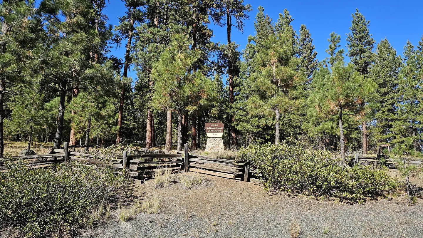
The nearest public campgrounds are Starr Campground (2.7 mi), Wickiup Campground (10.8 mi), and Oregon Mine Campground (12.6 mi, first-come).
Source: Campgrounds nearby