Deer Creek Guard Station Cabin
Deer Creek Guard Station is located approximately 31 miles from the town of John Day, in central Oregon. It is in a beautiful, quiet location, off the beaten path. From sunup to sundown, the cabin affords opportunities for adventure in exploring, viewing wildlife, or just relaxing and enjoying the wonders of nature all around. The cabin is larger than some, is furnished and offers many comforts. It can be accessed by vehicle. Guests are responsible for their own travel arrangements and safety, and must bring several of their own amenities.
Check availability on Recreation.gov ↗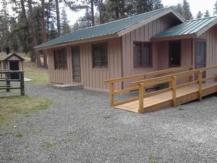
Site mix
| Cabins | 1 |
Site guide
1 site. Tap a filter to narrow the list; the map follows.
| Site | Surface | Shade | People / vehicles | Accessible |
|---|---|---|---|---|
| 01 | Gravel | Partial | 6 / 3 | Yes |
Per-site records as published by the managing agency on Recreation.gov. Blank cells mean the agency listed nothing for that site. Check-in 4:00 PM, checkout 12:00 PM.
Amenities & rules
| Accessibility | Site 01 is listed accessible |
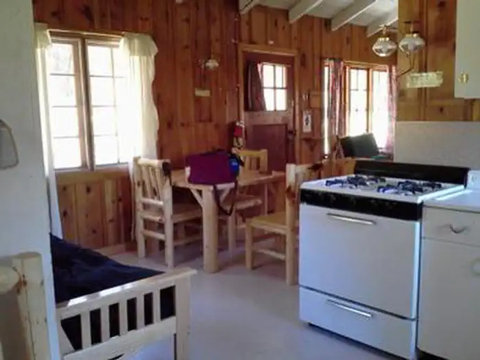
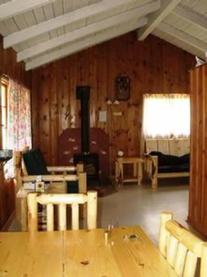
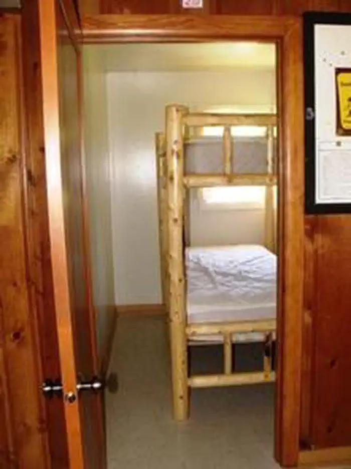
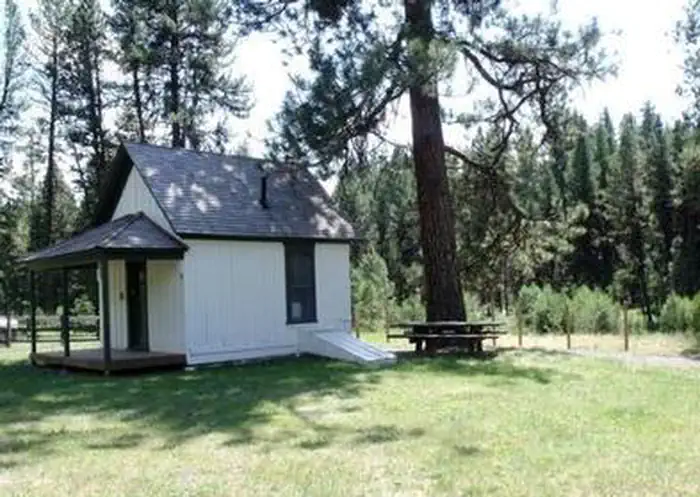
The rustic cabin has a living room/sleeping area, a small bedroom and a kitchen. The living/sleeping area is equipped with a propane fireplace for heat, a couch, chair and end tables. A Murphy bed is located in the living/sleeping area for additional sleeping space and can be put away during the day. In the dining area is a full futon bed and table with four chairs. In a small room just off the dining area is a log bunk bed that can sleep two comfortably. The cabin can accommodate up to six people. The kitchen is equipped with a propane cook stove and propane refrigerator, ample counter space, pots, pans, plates, bowls, cups and flatware. The entire cabin is lit with propane lights. An accessible vault toilet is located near the guard station. A picnic table and campfire ring are situated next to the perennial creek that runs through the facility grounds. Any water taken from an outdoor source should be boiled or treated prior to consumption. Stream water gets scarce during mid-August. Firewood can be collected from the surrounding area.
Individual sites vary. Confirm on Recreation.gov or with the managing office.
Weather by month
Getting there
From John Day, OR. travel south on Highway 395 approximately 17 miles to County Road 63 (Izee Highway). Turn right and take County Road 63 to the junction of Forest Service Road 24. Turn right and take Forest Road 24 approximately 10 miles. Turn left onto Forest Service Road 514.
| Nearest town | John Day, Oregon |
| Coordinates | 44.1875° N, 119.3221° W · Directions ↗ |
Fire nearby
- PrescribedDamon 2A Rx
15 mi from the campground · 85 acres
- PrescribedJane 102 Rx
30 mi from the campground · 3,000 acres
- WildfireSecond Flat
40 mi from the campground · 105,854 acres · 99% contained
- PrescribedGreenwood Rx
41 mi from the campground · 38 acres
Distance is to the reported incident point, not the fire edge. Call the managing office before you drive.
Supplies & services
| Dump station | Dump station ↗ | 19.6 mi |
Locations © OpenStreetMap contributors. Call ahead; hours change seasonally.
Explore
Worth a stop
- 11.6 miMcclellan Trailhead ↗Trailhead
Trails nearby
- 2.3 miFlagtail Ski Trail A4.4 mi trail
- 2.5 miFlagtail Ski Trail E2.1 mi trail
- 2.6 miFlagtail Ski Trail B3.3 mi trail
- 2.8 miFlagtail Ski Trail C3.6 mi trail
- 4.1 miSnowshoe Ski Trail A1.1 mi trail
- 4.5 miSnowshoe Ski Trail B0.5 mi trail
Trail and trailhead records are the Forest Service's. Distances are straight-line to the nearer trail end. Trail conditions are not tracked here.
Public land it sits in
Malheur National Forest begins about 7.9 miles away, and it is the closest of these.
- 7.9 miMalheur National Forest ↗National Forest · Forest Service · 1,787,138 acres
Each unit is published as a centre point and an acreage rather than a boundary, so this section stands it in for a circle of the same area. Whether a campground is inside, and how far it is from one it is outside, are both approximate.
Other campgrounds nearby


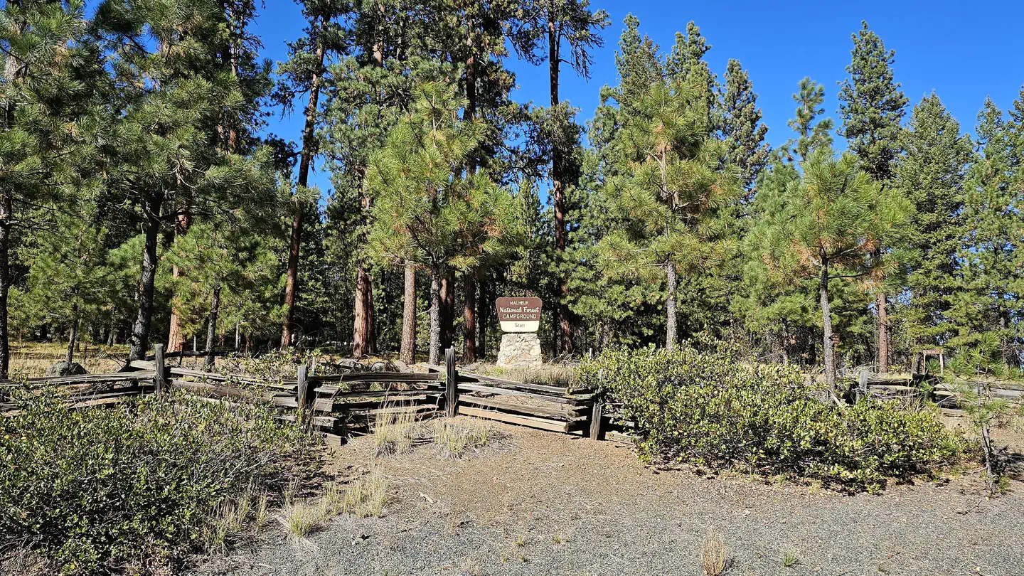
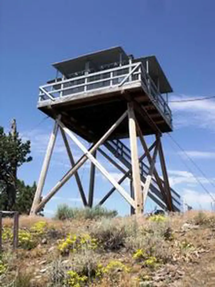
Cabin and lookout rentals nearby
Natural features
The three-room cabin was built in 1956 and was originally used as a work station by fireguards. Before satellite surveillance systems, fireguards were the smoke chasers who rushed to sites of reported smoke and tried to extinguish the flames. Douglas fir and ponderosa pine trees dot the broad, flat expanse surrounding the cabin, which sits at an elevation of 5,100 feet. Deer Creek runs through the area nearby. In the spring and summer, guests enjoy abundant wildflowers and wildlife in the area, including wild horses, elk, black bears, deer and wild turkeys and other species of birds.
Recreation
Big game hunting is popular in the area, as well as fishing on Deer Creek and South Fork John Day River. Anglers might watch for,Mid-Columbia River Steelhead and redband trout, among others in the area. Guests can also enjoy hiking and horseback riding on a variety of trails in the area.
Guidebooks for Oregon
We earn a small commission if you buy through these links. It does not change what we list.

Titles come from Open Library's catalog, matched by subject heading or by title.
Reference
Questions people ask
Do I need a reservation at Deer Creek Guard Station Cabin?
Sites at Deer Creek Guard Station Cabin are reservable on Recreation.gov. Any walk-up sites are listed on the booking page.
Source: Recreation.gov
What time is check-in at Deer Creek Guard Station Cabin?
Check-in 4:00 PM, checkout 12:00 PM.
Source: Recreation.gov
How many sites does Deer Creek Guard Station Cabin have?
1 site, including 1 cabin.
Source: Recreation.gov
Are there accessible sites at Deer Creek Guard Station Cabin?
Site 01 is listed accessible on Recreation.gov. What that covers (a paved pad, an accessible table, a nearby accessible restroom) is on each site's booking page.
Source: Recreation.gov
What is there to do at Deer Creek Guard Station Cabin?
Big game hunting is popular in the area, as well as fishing on Deer Creek and South Fork John Day River. The Recreation section on this page has the rest.
Source: Recreation
What is the nearest town to Deer Creek Guard Station Cabin?
John Day, Oregon.
Source: Getting there
What if Deer Creek Guard Station Cabin is full?
The nearest public campgrounds are Oregon Mine Campground (6.2 mi, first-come), Billy Fields Campground (11.2 mi, first-come), and Frazier Campground (12.8 mi, first-come).
Source: Campgrounds nearby