Bridges Campground
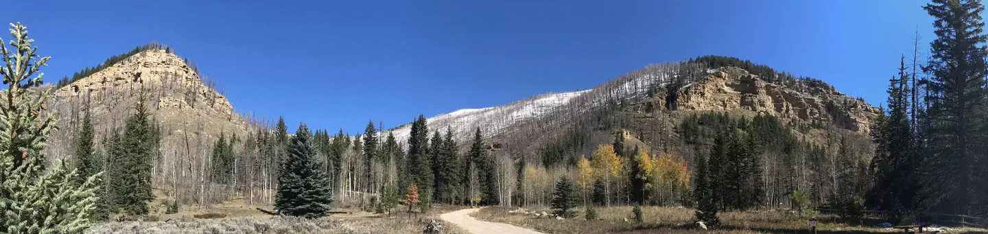
Bridges Campground is located in beautiful Huntington Canyon, along the Huntington Canyon National Scenic Byway on Utah Highway 31. It is situated at an elevation of approximately 8,700 feet. Many recreational activities are available, including hiking, biking, scenic driving, and fishing.
More like this: reservable in Utah · big rigs in Utah · pets allowed in Utah · group sites in Utah
Check availability on Recreation.gov ↗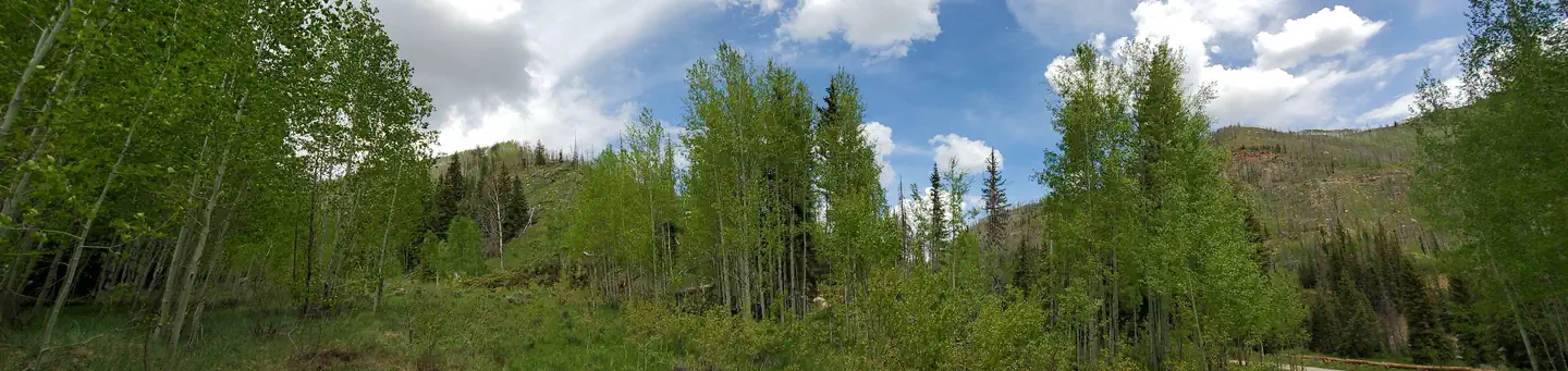
Site mix
| Standard, no hookups | 6 |
| Group sites | 1 |
| Host/management | 7 |
Site guide
Will my RV fit
The longest site here provides 30 feet of vehicle capacity. Most sites are shorter.
7 sites. Tap a filter to narrow the list; the map follows.
| Site | Type | Entry | Fits, ft | Surface | Shade | Water / sewer | People / vehicles | Fires |
|---|---|---|---|---|---|---|---|---|
| 5 | Standard | Back-in | 25 | Gravel | Partial | 12 / 4 | Yes | |
| 6 | Standard | Back-in | Gravel | Partial | No / – | 12 / 2 | Yes | |
| 1 | Standard | Back-in | Gravel | Partial | No / – | 8 / 2 | Yes | |
| 2 | Standard | Back-in | Gravel | Partial | No / – | 8 / 2 | Yes | |
| 3 | Standard | Back-in | 25 | Gravel | Partial | 8 / 4 | Yes | |
| 4 | Standard | Back-in | 25 | Gravel | Partial | 8 / 2 | Yes | |
| A | Group | Pull-through | 30 | Gravel | Partial | 30 / 8 | Yes |
Per-site records as published by the managing agency on Recreation.gov. Blank cells mean the agency listed nothing for that site. Check-in 3:00 PM, checkout 12:00 PM.
Amenities & rules
| Hookups | None |
| Max vehicle length | 40 ft |
| Equipment | RVs & trailers, Tents |
| Pets | Allowed |
| Campfires | Allowed, subject to restrictions |
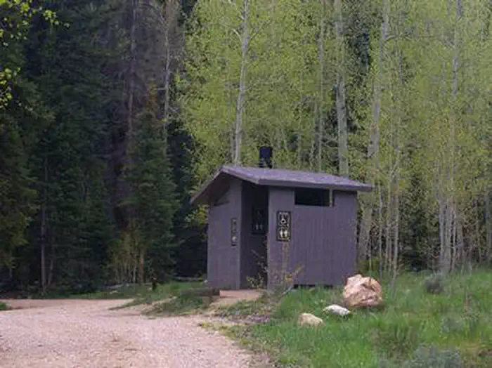
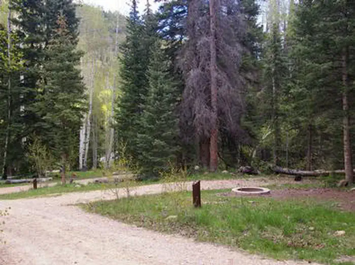
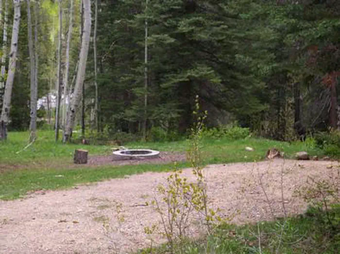
The campground offers one group campsite that can accommodate groups of up to 30 people. Four single-family campsites are also available. Vault toilets are provided, but there is no drinking water or electricity. There are no garbage services offered within the campground, so be prepared to "pack it in and pack it out". Roads and parking spurs are dirt.
Individual sites vary. Confirm on Recreation.gov or with the managing office.
Season & status
| Season | Mid-May to Late-September |
| Forest | Manti-La Sal National Forest |
| Rules | Reservations must be made at least four days in advance. No ATVs allowed in campground (see Forest Camping and Travel Rules in Quick Links at right). No livestock allowed in the campground but there are two hitching rails 20' across the highway. |
Weather by month
Getting there
From Huntington, Utah, travel north on Utah Highway 31 for 23 miles, to the campground. It is on the west side of Highway 31, at the mouth of Day Canyon.
| Nearest town | Ferron, Utah |
| Coordinates | 39.5589° N, 111.1681° W · Directions ↗ |
Fire nearby
- PrescribedSan Pitch Rx
34 mi from the campground · 15 acres
Distance is to the reported incident point, not the fire edge. Call the managing office before you drive.
Supplies & services
| RV sales & service | Western Range Camps ↗ | 16.1 mi |
| Outdoor gear | IFA Country Store ↗ | 26.6 mi |
| Dump station | Dump station ↗ | 33.3 mi |
Locations © OpenStreetMap contributors. Call ahead; hours change seasonally.
Explore
Video
🏕️ Pioneer Bridges Campground Review ~ Free Camp Victoria’s High Country ~ Motorhome Campi
Worth a stop
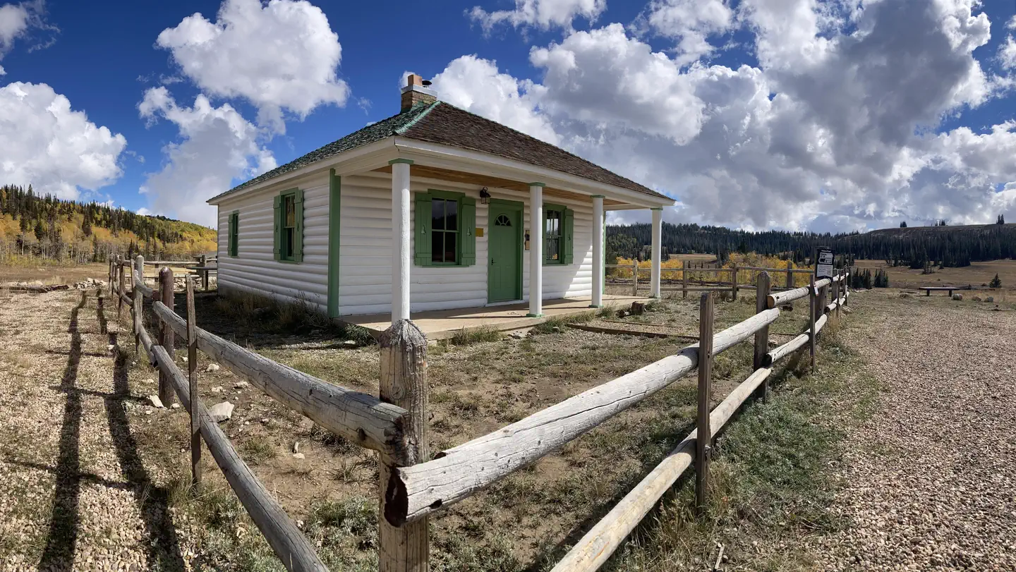
The Huntington Canyon National Scenic Byway is part of the 86-mile Energy Loop. It offers stunning mountain and lake views as it tops 10,000 feet in elevation. The historic Stuart Guard Station Visitor Center is nearby, offering a glimpse of the 1930s life of a ranger and his family who once lived there. Exhibits of Civilian Conservation Corps projects and original equipment are on display. Area information is available as well.
- 3.8 miCandland Mountain Trailhead ↗Trailhead
- 4.7 miHorse Canyon Trailhead ↗Trailhead
Trails nearby
- 0.4 miMill Canyon3.9 mi trail · hiking, horse, bike
- 0.4 miHuntington Pipeline1.8 mi trail · hiking, horse, bike
- 1.2 miShort Canyon2.3 mi trail · hiking, horse, bike
- 1.5 miOld Folks Flat to Stuart Guard0.7 mi trail · hiking, horse, bike
- 2.1 miCandland Mountain ↗5.3 mi trail · hiking, horse, bike
- 2.5 miCastle Valley Ridge ↗8 mi trail · hiking, horse, bike
Trailheads within three miles
- 2.2 miNuck Woodward Road Trailhead ↗Manti-La Sal National Forest · Season May to September
- 2.5 miCastle Valley Ridge Trailhead ↗Manti-La Sal National Forest · Season May
Trail and trailhead records are the Forest Service's. Distances are straight-line to the nearer trail end. Trail conditions are not tracked here.
Other campgrounds nearby

Cabin and lookout rentals nearby
On the National Register nearby
- James Anderson HouseBuilding · Fairview · 15 mi
- Watkins–Tholman–Larsen FarmsteadBuilding · Mt. Pleasant · 15 mi
Natural features
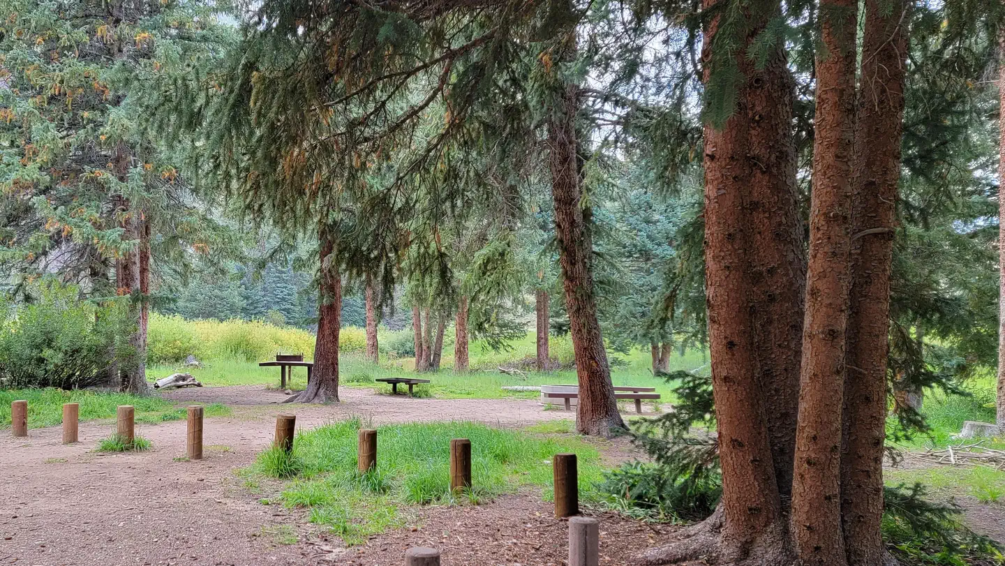
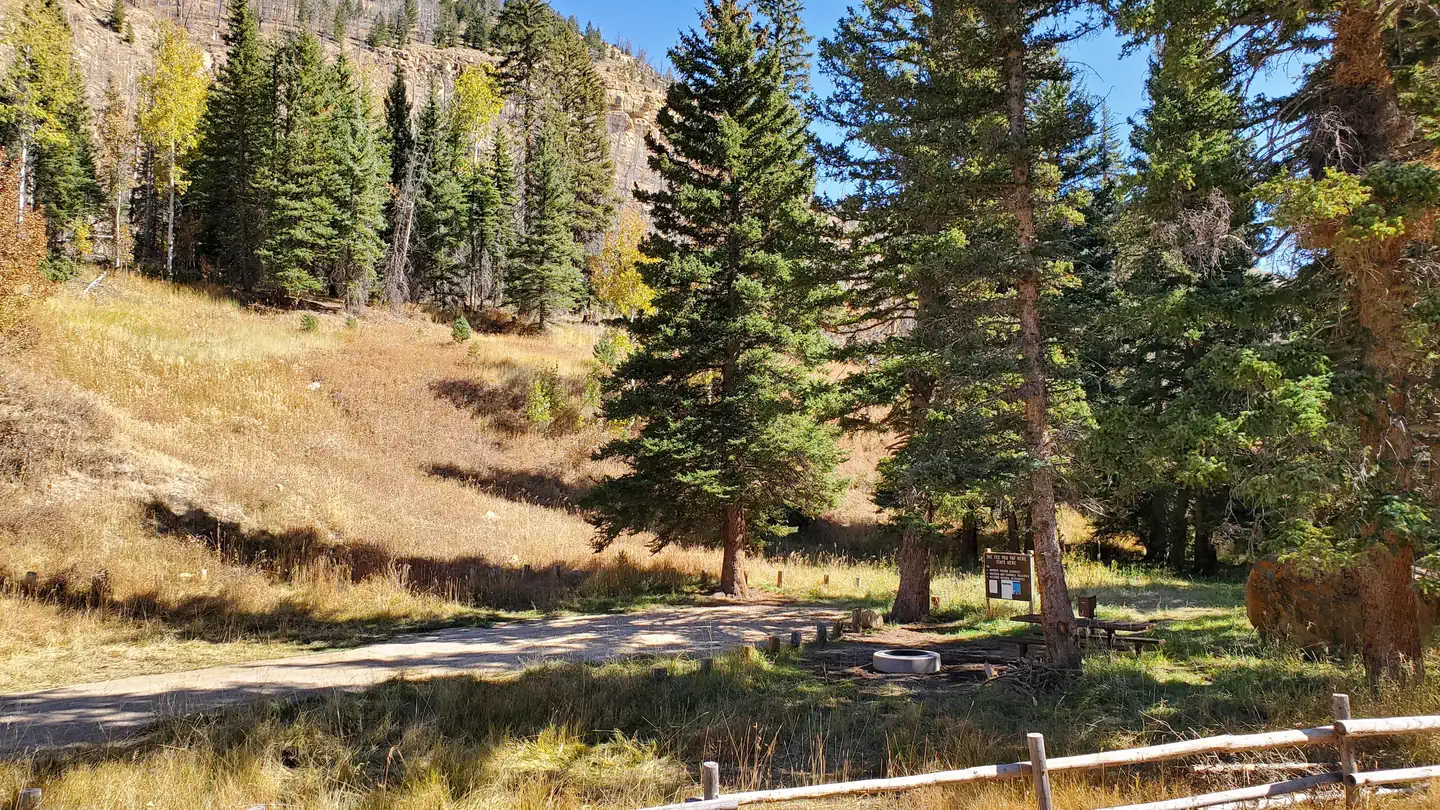
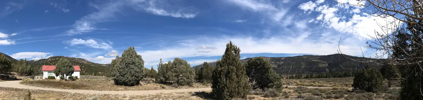
Large spruce trees and aspens cover the campground, offering plentiful shade. Huntington Creek runs alongside the campground. The canyon area has numerous lakes and streams, vibrant summer wildflowers, colorful fall foliage and abundant wildlife.
Recreation
Popular activities include fishing, hunting, hiking, mountain biking, horseback riding, rock climbing and scenic driving. Huntington Creek is a Blue Ribbon fishery, offering high quality fishing for brown, cutthroat and rainbow trout. The 4-mile Left Fork of the Huntington National Recreation Trail is nearby and open to hikers and horseback riders. The 10-mile Fish Creek Trail, for hiking, biking and horseback riding is also close by. Although horses are not allowed in the campground, two hitching racks are provided just across the highway.
Guidebooks for Utah
We earn a small commission if you buy through these links. It does not change what we list.


Titles come from Open Library's catalog, matched by subject heading or by title.
Reference
Questions people ask
Do I need a reservation at Bridges Campground?
Sites at Bridges Campground are reservable on Recreation.gov. Any walk-up sites are listed on the booking page.
Source: Recreation.gov
What time is check-in at Bridges Campground?
Check-in 3:00 PM, checkout 12:00 PM.
Source: Recreation.gov
How many sites does Bridges Campground have?
14 sites, including 6 standard sites without power and 1 group site.
Source: Recreation.gov
Will my RV fit at Bridges Campground?
The longest site here provides 40 feet of vehicle capacity. Most sites are shorter. The sidebar tool checks a trailer or motorhome length against every site.
Source: Will my RV fit
Are pets allowed at Bridges Campground?
Yes, pets are allowed at Bridges Campground. Leash rules apply.
Source: Recreation.gov
Can I have a campfire at Bridges Campground?
Fires are allowed in the provided rings under normal conditions. As of 2026-10-16, there is 1 active fire within 50 miles, so check current restrictions before you light one. Reservations must be made at least four days in advance.
Source: Fire nearby
What is there to do at Bridges Campground?
Popular activities include fishing, hunting, hiking, mountain biking, horseback riding, rock climbing and scenic driving. The Recreation section on this page has the rest.
Source: Recreation
What is the nearest town to Bridges Campground?
Ferron, Utah. The Huntington Canyon National Scenic Byway is part of the 86-mile Energy Loop.
Source: Getting there
What if Bridges Campground is full?
The nearest public campgrounds are Chute Group (0.6 mi), Little Rock Campground (1 mi, first-come), and Old Folks Flat (1.5 mi).
Source: Campgrounds nearby