Little Rock Campground
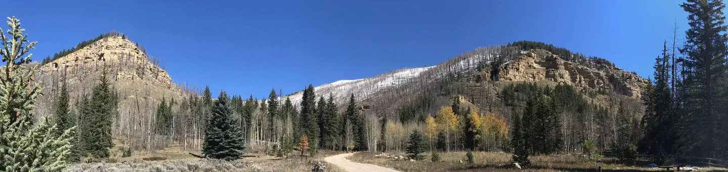
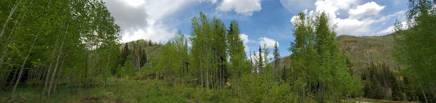
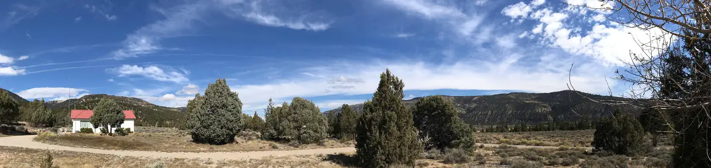
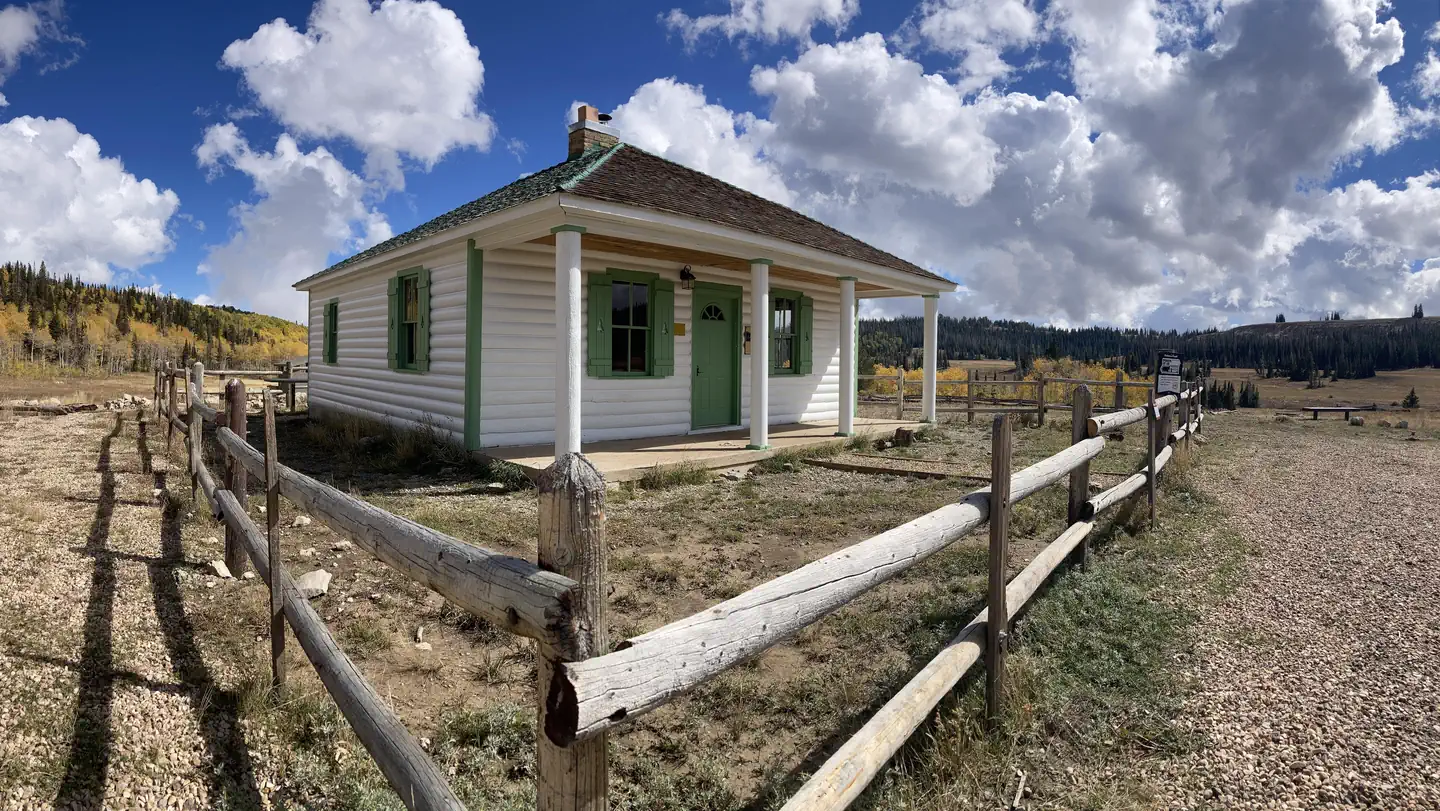
Little Rock Campground is nestled in beautiful Huntington Canyon along the Huntington Canyon National Scenic Byway on Utah Highway 31. The canyon area has numerous lakes and streams, vibrant summer wildflowers, colorful fall foliage, and abundant wildlife. Trailheads are about a mile away in either direction and a trail passes behind the campground that can take you north towards Engineer Canyon or south to Stuart Guard Station.
More like this: first-come in Utah
Site mix
| Standard, no hookups | 1 |
Site map
6 campsite locations mapped by OpenStreetMap contributors. The site numbers are theirs and may not match the posts at the campground. Map data © OpenStreetMap contributors, ODbL.
Amenities & rules
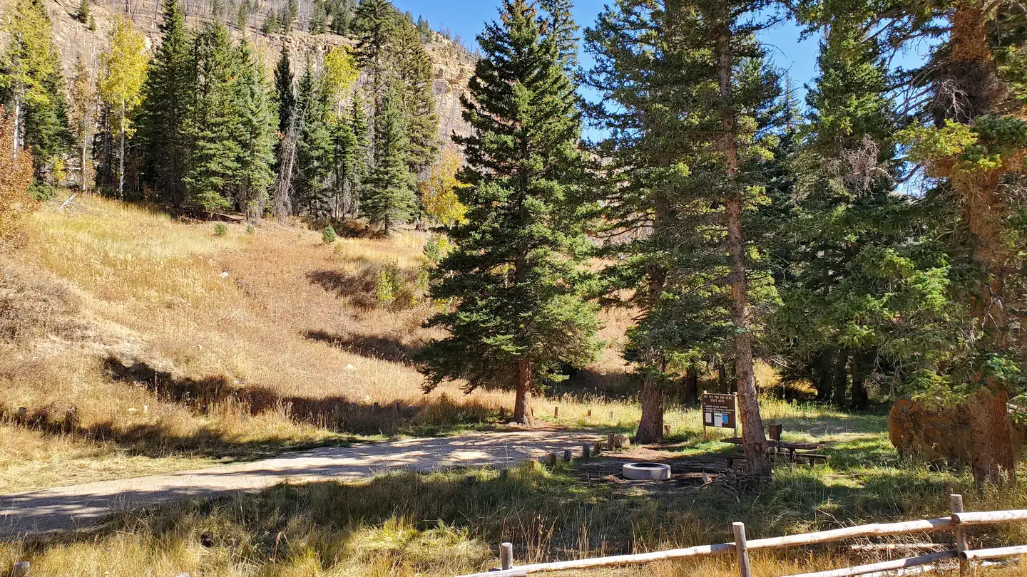
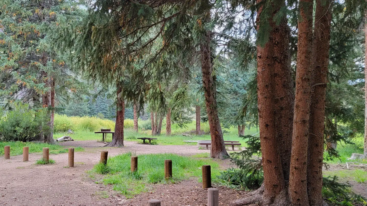
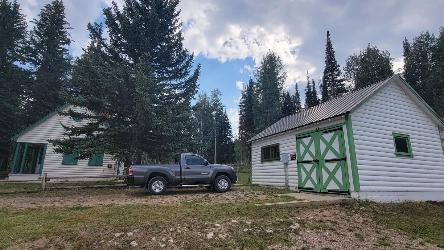
This campsite is a primitive campsite nestled in a shaded spruce stand that provides a graveled parking spur, picnic table, and fire ring. There is no water or vault toilet on site but potable water and flush restroom can be accessed 1/2 mile south of Little Rock Campground at Old Folks Flat Campground.
Individual sites vary. Confirm on Recreation.gov or with the managing office.
Season & status
| Forest | Manti-La Sal National Forest |
| Fees | $5/Night per vehicle |
Weather by month
Getting there
From Huntington, Utah: Travel West for 21.5 miles on Highway 31. From Fairview, Utah: Travel East for approximately 67 miles
| Nearest town | Ferron, Utah |
| Coordinates | 39.5443° N, 111.1640° W · Directions ↗ |
Good to know
- Once on-site, you can pay for your campsite(s) by scanning a QR code using the Recreation.gov mobile app.
- Download the free Recreation.gov mobile app on Android or iOS prior to your arrival as some remote areas have limited or no cellular service.
Fire nearby
- PrescribedSan Pitch Rx
34 mi from the campground · 15 acres
Distance is to the reported incident point, not the fire edge. Call the managing office before you drive.
Supplies & services
| RV sales & service | Western Range Camps ↗ | 16.2 mi |
| Outdoor gear | IFA Country Store ↗ | 26.3 mi |
| Dump station | Dump station ↗ | 34.2 mi |
Locations © OpenStreetMap contributors. Call ahead; hours change seasonally.
Explore
Worth a stop
- 3.6 miHorse Canyon Trailhead ↗Trailhead
- 4.7 miCandland Mountain Trailhead ↗Trailhead
Trails nearby
- 0.3 miHuntington Pipeline1.8 mi trail · hiking, horse, bike
- 0.5 miOld Folks Flat to Stuart Guard0.7 mi trail · hiking, horse, bike
- 0.8 miMill Canyon3.9 mi trail · hiking, horse, bike
- 1.4 miCandland Mountain ↗5.3 mi trail · hiking, horse, bike
- 1.7 miShort Canyon2.3 mi trail · hiking, horse, bike
- 1.9 miCastle Valley Ridge ↗8 mi trail · hiking, horse, bike
Trailheads within three miles
- 1.4 miNuck Woodward Road Trailhead ↗Manti-La Sal National Forest · Season May to September
- 1.9 miCastle Valley Ridge Trailhead ↗Manti-La Sal National Forest · Season May
- 2.9 miLeft Fork of Huntington Trailhead ↗Manti-La Sal National Forest · Season May
Trail and trailhead records are the Forest Service's. Distances are straight-line to the nearer trail end. Trail conditions are not tracked here.
Other campgrounds nearby

Cabin and lookout rentals nearby
Recreation
- Popular activities include fishing, hunting, hiking, mountain biking, horseback ridding, rock climbing, and scenic driving. Nearby Huntington Creek is a Blue Ribbon fishery, offering high-quality fishing for brown, cutthroat and rainbow trout. The 6-mile Left Fork of Huntington National Recreation Trail is nearby and open to hikers and horseback riders.
- Huntington Pipeline Trail: 3.5 Miles
- Left Fork of Huntington National Recreational Trail: 6 Miles
- Tie Fork/Wild Cattle/Pole Canyon Trails: 7+ Miles
- Horse Canyon Trails: 8+ Miles
Guidebooks for Utah
We earn a small commission if you buy through these links. It does not change what we list.


Titles come from Open Library's catalog, matched by subject heading or by title.
Reference
Questions people ask
Do I need a reservation at Little Rock Campground?
No. Little Rock Campground is first-come, first-served. Sites are taken on arrival and paid at the fee station.
Source: Forest Service
How much does it cost to camp at Little Rock Campground?
$5/Night per vehicle
Source: Forest Service
How many sites does Little Rock Campground have?
1 site, including 1 standard site without power.
Source: Forest Service
What is there to do at Little Rock Campground?
Popular activities include fishing, hunting, hiking, mountain biking, horseback ridding, rock climbing, and scenic driving. Nearby Huntington Creek is a Blue Ribbon fishery, offering high-quality fishing for brown, cutthroat and rainbow trout. The 6-mile Left Fork of Huntington National Recreation T
Source: Recreation
What is the nearest town to Little Rock Campground?
Ferron, Utah.
Source: Getting there
What if Little Rock Campground is full?
The nearest public campgrounds are Old Folks Flat (0.5 mi), Chute Group (0.8 mi), and Bridges Campground (1 mi).
Source: Campgrounds nearby