Seely Creek Guard Station
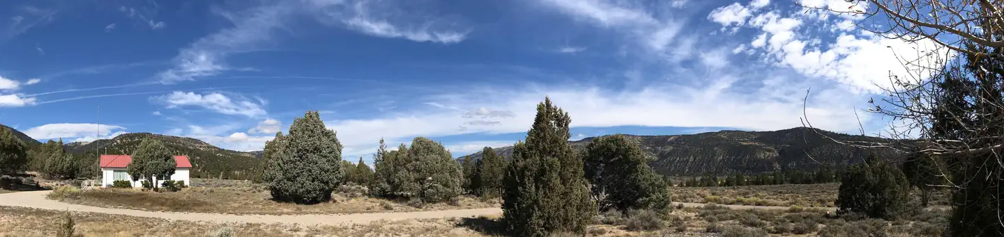
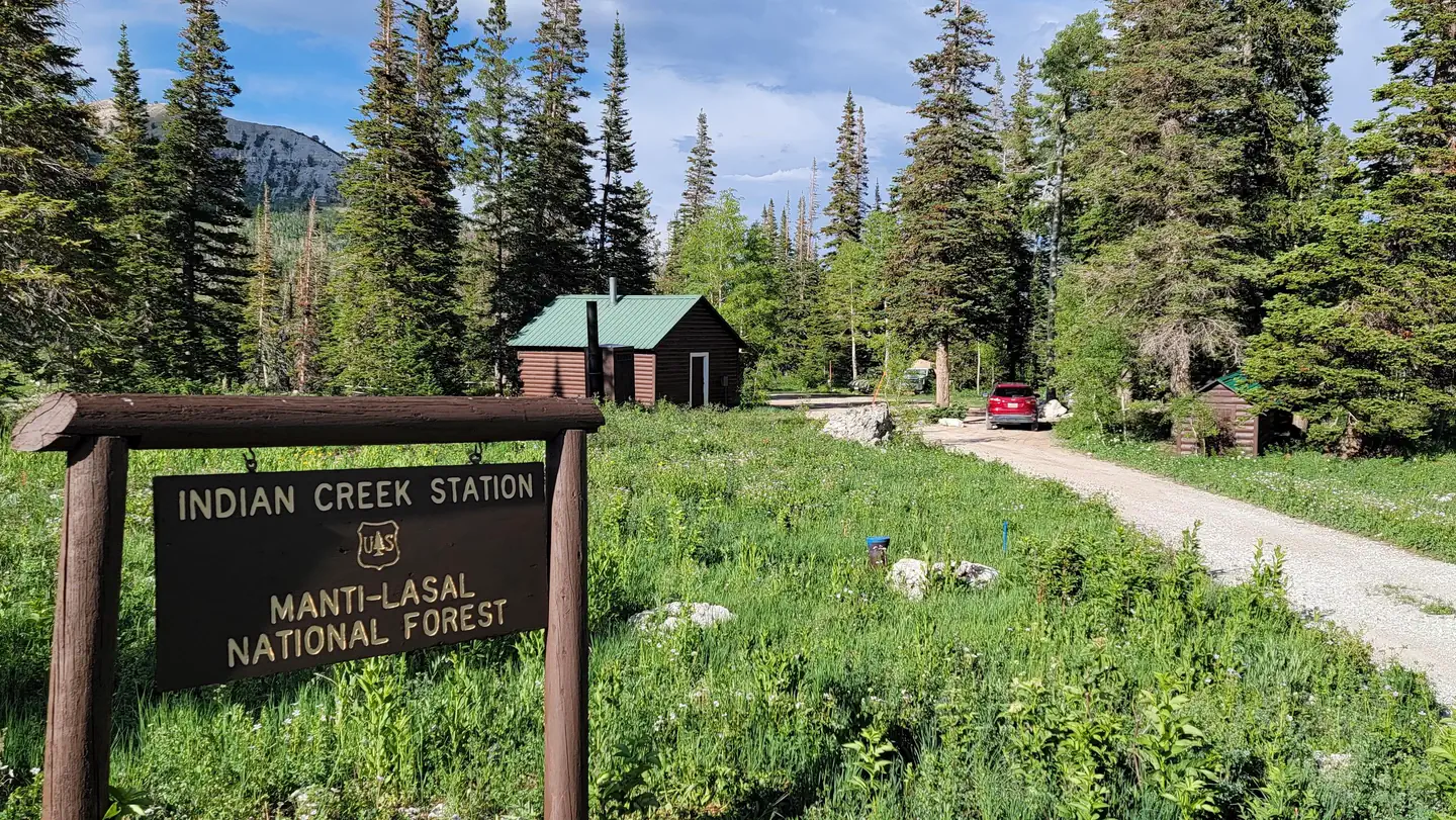
Seely Creek Guard Station is located near the top of the Wasatch Plateau, within the Manti-La Sal National Forest in central Utah. The cabin was built in late-1907 or early-1908 and is listed on the National Register of Historic Places. Guests enjoy year-round recreational activities, including hiking, off-roading, snowmobiling and skiing.
Check availability on Recreation.gov ↗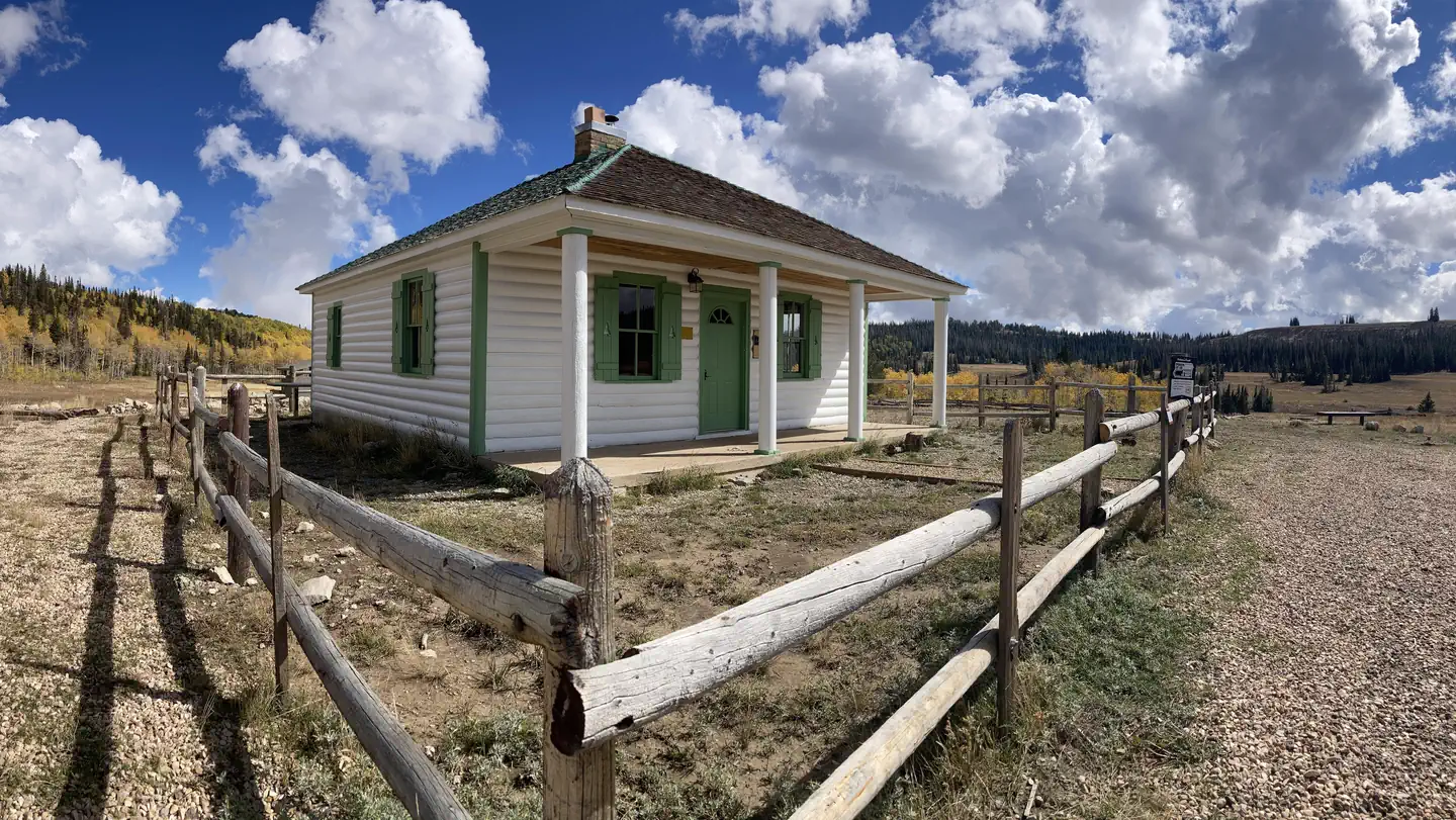
Site mix
| Cabins | 1 |
Site guide
1 site. Tap a filter to narrow the list; the map follows.
| Site | Entry | Water / sewer | People / vehicles | Fires | Rating |
|---|---|---|---|---|---|
| 001 | Pull-through | No / – | 20 / 6 | Yes | Prime |
Per-site records as published by the managing agency on Recreation.gov. Blank cells mean the agency listed nothing for that site. Check-in 3:00 PM, checkout 11:00 AM.
The site record lists 20 people. The campground description says up to 30 people.
Amenities & rules
| Campfires | Allowed, subject to restrictions |
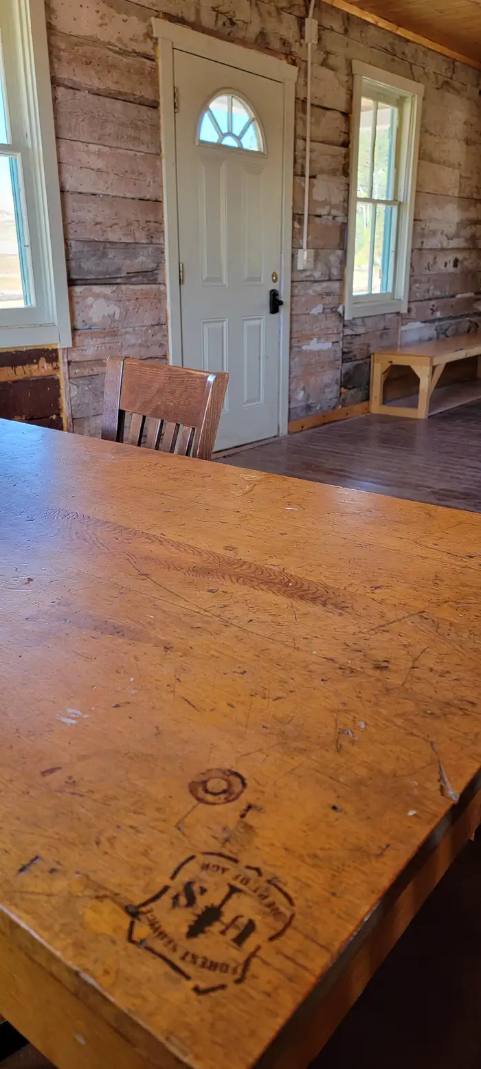
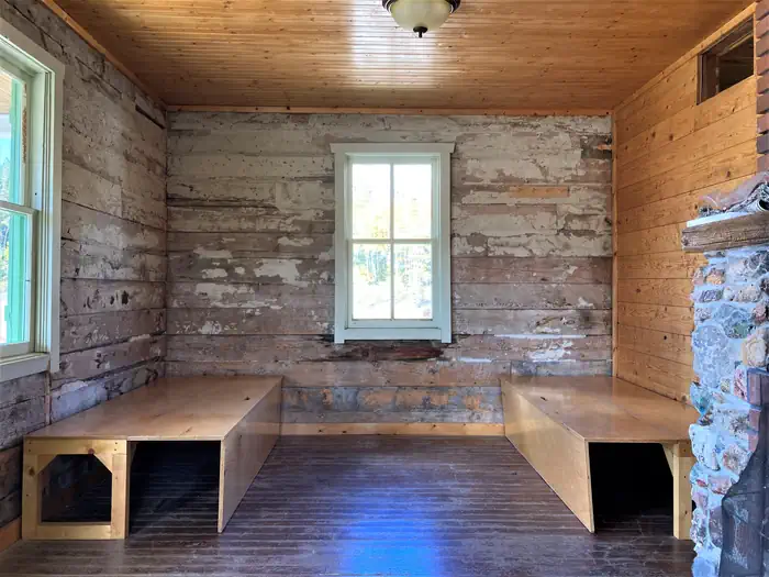
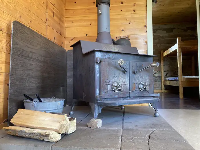
Seely Guard Station can accommodate a maximum of 30 people, with six inside and 24 camped outside in a maximum of six vehicles (truck and trailer combination counts as one vehicle). The rustic guard station is spacious inside, with four single bunks without mattresses. Guests must bring their own linens, bedding and pillows. The cabin is equipped with a table and chairs, a fireplace and wood stove. No water is available. A vault toilet is located approximately 50 feet behind the cabin and a campfire ring lies outside the fenced area on the north side.
Individual sites vary. Confirm on Recreation.gov or with the managing office.
Weather by month
Getting there
From Orangeville, travel west on State Highway 29 to Joe's Valley Reservoir. At the reservoir, turn right and follow the road around to the other side. When you start heading away from the reservoir and toward the plateau, you'll pass Orange Olsen Administrative Site on the right and then a road on the left. Do not turn.
| Nearest town | Ferron, Utah |
| Coordinates | 39.3122° N, 111.4294° W · Directions ↗ |
Fire nearby
- PrescribedSan Pitch Rx
17 mi from the campground · 15 acres
- PrescribedSalina Canyon East Rx
37 mi from the campground · 17,375 acres
Distance is to the reported incident point, not the fire edge. Call the managing office before you drive.
Supplies & services
| Outdoor gear | IFA Country Store ↗ | 8.9 mi |
| RV sales & service | Western Range Camps ↗ | 15.2 mi |
| Dump station | Dump station ↗ | 27.5 mi |
Locations © OpenStreetMap contributors. Call ahead; hours change seasonally.
Explore
Worth a stop
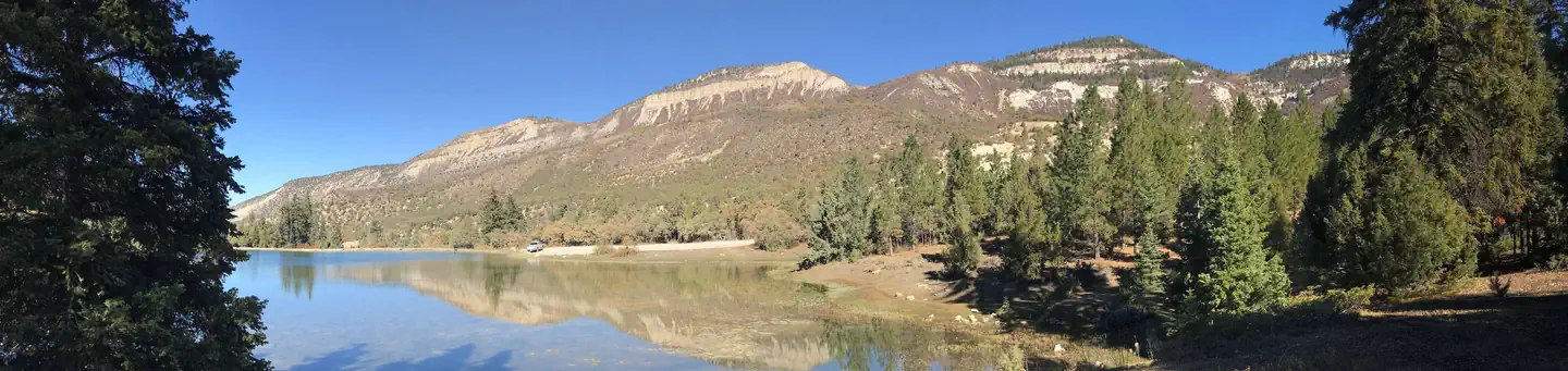
John August Lake is less than three miles from the guard station, with fishing and scenic high alpine views. Pete's Hole and Soup Bowl are less than eight miles away, offering fishing and a hiking trail.
- 5.3 miGrassy Lake Fishing Site ↗Fishing site
- 8.8 miPatton Trailhead ↗Trailhead
- 9.8 miDuck Fork Fishing Site ↗Fishing site
Trails nearby
- 2.1 miJimmy'S Fork2.3 mi trail · hiking, horse, bike
- 2.6 miSouth Thistle Flat2.7 mi trail · hiking, horse, bike
- 2.8 miJosephite Pt. Trail ↗6.3 mi trail · hiking, horse
- 3.5 miMaple Crk to Jimmys Crk1.1 mi trail · hiking, horse, bike, motorcycle and 2 more
- 3.6 miLittle Horseshoe1.5 mi trail · hiking, horse, bike
- 3.7 miExperiment Station ↗4.7 mi trail · hiking, horse, bike
Trailheads within three miles
- 2.8 miJosephite Point Trailhead ↗Manti-La Sal National Forest · Season May
Trail and trailhead records are the Forest Service's. Distances are straight-line to the nearer trail end. Trail conditions are not tracked here.
Other campgrounds nearby
Cabin and lookout rentals nearby
On the National Register nearby
- John R. Nielson CabinBuilding · Manti · 5 mi
- Manti City HallBuilding · Manti · 5.2 mi
- David and Evinda Madsen HouseBuilding · Ephraim · 8 mi
Natural features
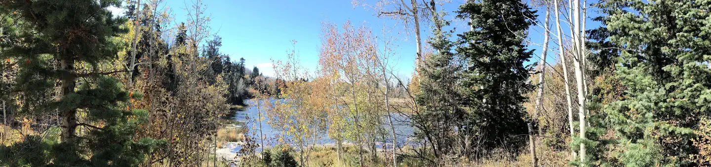
The cabin is situated in a beautiful wildflower-filled meadow, at an elevation of approximately 10,000 feet. Seely Creek flows along the edge of the meadow. Skyline Drive runs along the top of the Wasatch Plateau for more than 60 miles, rewarding visitors with beautiful mountain scenery, glacial cirques, spruce-fir and aspen forests, numerous lakes and reservoirs. Wildlife and summer wildflowers are plentiful, and autumn leaves put on quite a show. Due to the guard station's high elevation, guests should be prepared for all types of weather including snow or hail, especially after September.
Recreation
Skyline Drive passes along the ridge line just above the cabin, providing great trail opportunities for off-road vehicles, mountain biking and hiking. In the winter, the surrounding area becomes a playground for snowmobile enthusiasts. Cross-country skiing, back country skiing and snowshoeing are also popular activities. Horseback riding trails crisscross the area as well. A maximum of 20 horses is allowed at the guard station, though no horse facilities (corrals, hitching posts, etc) are present. The surrounding meadow can be used for picketing or hobbling.
Guidebooks for Utah
We earn a small commission if you buy through these links. It does not change what we list.


Titles come from Open Library's catalog, matched by subject heading or by title.
Reference
Questions people ask
Do I need a reservation at Seely Creek Guard Station?
Sites at Seely Creek Guard Station are reservable on Recreation.gov. Any walk-up sites are listed on the booking page.
Source: Recreation.gov
What time is check-in at Seely Creek Guard Station?
Check-in 3:00 PM, checkout 11:00 AM.
Source: Recreation.gov
How many sites does Seely Creek Guard Station have?
1 site, including 1 cabin.
Source: Recreation.gov
Can I have a campfire at Seely Creek Guard Station?
Fires are allowed in the provided rings under normal conditions. As of 2026-10-16, there are 2 active fires within 50 miles, so check current restrictions before you light one.
Source: Fire nearby
Is there cell service at Seely Creek Guard Station?
FCC coverage maps show AT&T 4G LTE at the campground point. Terrain changes that from one site to the next.
Source: FCC Broadband Map
What is there to do at Seely Creek Guard Station?
Skyline Drive passes along the ridge line just above the cabin, providing great trail opportunities for off-road vehicles, mountain biking and hiking. The Recreation section on this page has the rest.
Source: Recreation
What is the nearest town to Seely Creek Guard Station?
Ferron, Utah. John August Lake is less than three miles from the guard station, with fishing and scenic high alpine views.
Source: Getting there
What if Seely Creek Guard Station is full?
The nearest public campgrounds are Lake Hill (3.8 mi), Manti Community (7.2 mi), and Joes Valley Reservoir (7.4 mi).
Source: Campgrounds nearby