Iron Mine
Iron Mine Campground in nestled in the scenic North Fork Drainage off Highway 35, about 18 miles from Tabiona, Utah. The North Fork Drainage lies on the southern slope of the beautiful Uinta Mountains in northeastern Utah. Visitors enjoy fly-fishing and exploring many local trails.
More like this: reservable in Utah · big rigs in Utah · group sites in Utah
Check availability on Recreation.gov ↗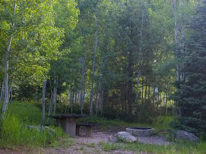
Site mix
| Standard, no hookups | 15 |
| Group sites | 1 |
| Host/management | 10 |
Site guide
Will my RV fit
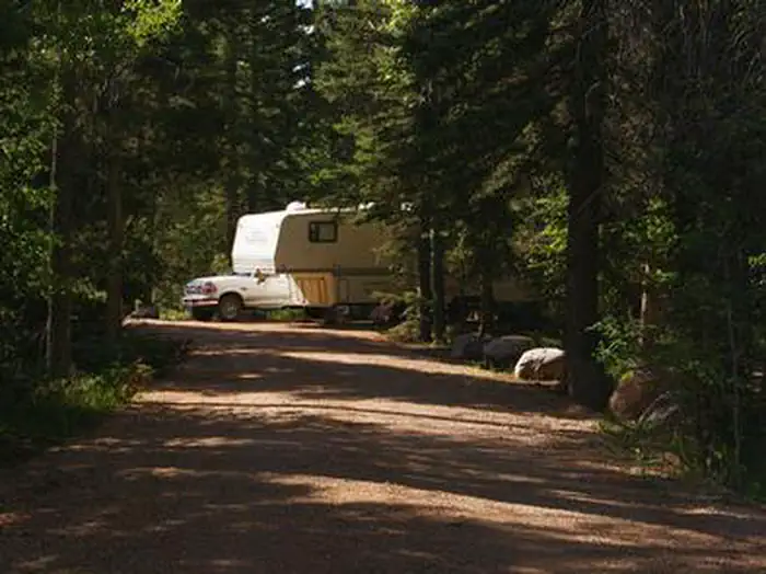
The longest site here provides 60 feet of vehicle capacity. Most sites are shorter.
16 sites. Tap a filter to narrow the list; the map follows.
| Site | Type | Entry | Fits, ft | Surface | Shade | People / vehicles | Fires |
|---|---|---|---|---|---|---|---|
| 001 | Standard | Pull-through | 60 | Gravel | Full | 8 / 2 | Yes |
| 002 | Standard | Pull-through | 30 | Gravel | Full | 8 / 2 | Yes |
| 003 | Standard | Pull-through | 60 | Gravel | Full | 8 / 2 | Yes |
| 004 | Standard | Pull-through | 60 | Gravel | Full | 8 / 2 | Yes |
| 005 | Standard | Pull-through | 60 | Gravel | Full | 8 / 2 | Yes |
| 006 | Standard | Back-in | 60 | Gravel | Full | 8 / 2 | Yes |
| 007 | Standard | Pull-through | 60 | Gravel | Full | 8 / 2 | Yes |
| 008 | Standard | Pull-through | 40 | Gravel | Full | 8 / 2 | |
| 009 | Standard | Back-in | 40 | Gravel | Full | 8 / 2 | Yes |
| 010 | Standard | Back-in | 60 | Gravel | Full | 8 / 2 | Yes |
Per-site records as published by the managing agency on Recreation.gov. Blank cells mean the agency listed nothing for that site. Check-in 2:00 PM, checkout 2:00 PM.
Amenities & rules
| Hookups | None |
| Max vehicle length | 60 ft |
| Equipment | RVs & trailers, Tents |
| Campfires | Allowed, subject to restrictions |
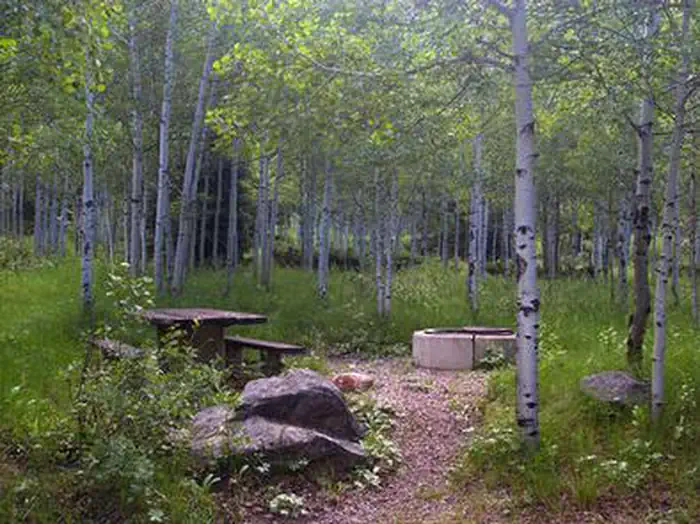
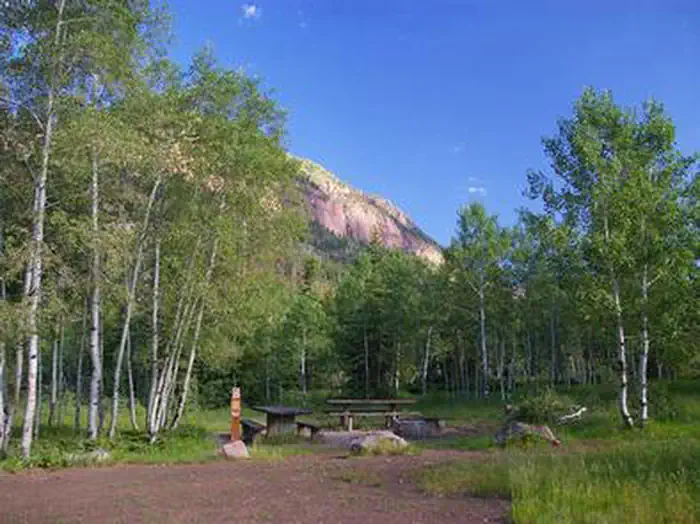
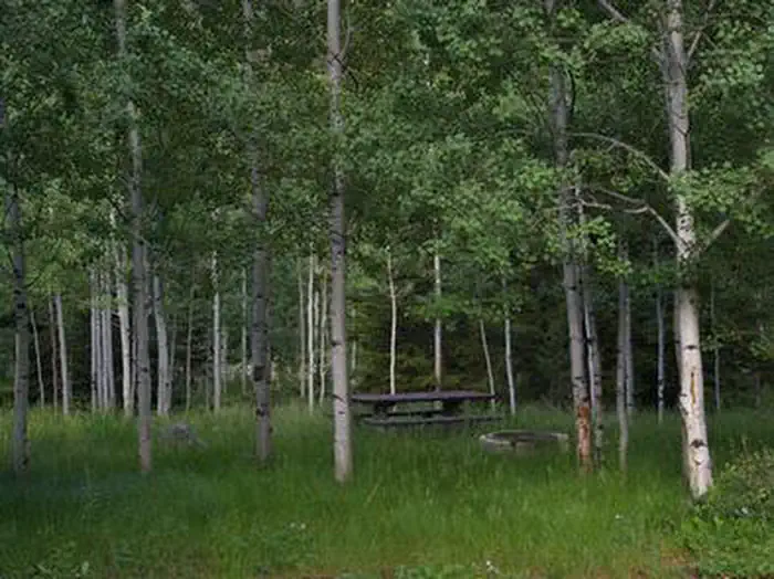
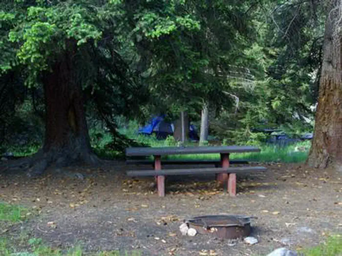
The campground contains single and double sites, and one group site that can accommodate up to 50 people. Sites are equipped with picnic tables and campfire rings. Vault toilets, drinking water and trash collection are provided. Roads and parking spurs are dirt.
Individual sites vary. Confirm on Recreation.gov or with the managing office.
Season & status
| Season | May |
| Forest | Ashley National Forest |
| Booking | This site can be reserved by calling Toll Free 1-877-444-6777 (International 518-885-3639 or TDD 877-833-6777) or on-line at Recreation.gov |
| Fees | $10-$16/night for single/double unit 10 people in each single site and 20 people in each double site. $25/night for group unit with a capacity of 50 people. |
Getting there
From Duchesne, Utah: Take Highway 87 north to the junction with Highway 35. Turn west on Highway 35 towards Tabiona and continue approximately 28 miles to the campground in the North Fork Drainage. From Highway 40, turn north on Highway 208 to Tabiona, then proceed northwest through Hanna to the North Fork Drainage.
| Nearest town | Duchesne, Utah |
| Coordinates | 40.5542° N, 110.8867° W · Directions ↗ |
Charges and cancellations
A $10.00 service fee will apply if you change or cancel your reservation. Late cancellations are subject to additional fees.
Fire nearby
- PrescribedWest Fork Rx
11 mi from the campground · 730 acres
- PrescribedTaylors Fork Rx
18 mi from the campground · 300 acres
- PrescribedCarter Creek Rx
25 mi from the campground · 150 acres
- PrescribedNorth Fork Mill Rx
27 mi from the campground
Distance is to the reported incident point, not the fire edge. Call the managing office before you drive.
Supplies & services
| Dump station | Dump station ↗ | 8.6 mi |
| Outdoor gear | Fish Heads Fly Shop ↗ | 27.9 mi |
| RV sales & service | Camping World ↗ | 52.7 mi |
Locations © OpenStreetMap contributors. Call ahead; hours change seasonally.
Explore
Video
Iron Mine Campground - Ashley National Forest, UT
Worth a stop
The North Fork Drainage provides access to the Granddaddy Lake region of the High Uintas via Grandview Trail. Numerous sparkling lakes provide great backcountry fishing. Backpacking, hiking and horseback riding are very popular in this breathtaking area.
- 3.4 miGrandview Trailhead ↗Trailhead
- 6 miMurdock Basin Atv Trailhead ↗Trailhead
- 7.1 miUpper Falls Picnic Area ↗Day use
- 10.1 miUpper Stillwater Boat Ramp Boating Site ↗Boat launch
- 13.9 miMiners Gulch Fishing Parking Fishing Site ↗Fishing site
- 14.4 miBeaver Creek Picnic Area ↗Day use
Trails nearby
- 0.2 miNorth Fork Duchesne Spur East ↗0.05 mi trail · hiking, horse, bike, motorcycle and 3 more
- 0.3 miNorth Fork Duchesne Spur North0.08 mi trail · hiking, horse, bike, motorcycle and 3 more
- 0.3 miN.F. Duchesne Loop0.1 mi trail · hiking, horse, bike, motorcycle and 3 more
- 0.4 miDuchesne River3.5 mi trail · hiking, horse
- 1.6 miTrail Hollow2.8 mi trail · hiking, horse, bike
- 3.3 miHades-Rocky Sea Pass ↗10.5 mi trail · hiking, horse
Trail and trailhead records are the Forest Service's. Distances are straight-line to the nearer trail end. Trail conditions are not tracked here.
Public land it sits in
This campground sits inside Uinta-Wasatch-Cache National Forest.
- inUinta-Wasatch-Cache National Forest ↗National Forest · Forest Service · 2,912,954 acres
- 10 miHigh Uintas Wilderness ↗Wilderness · Forest Service · 453,863 acres
Each unit is published as a centre point and an acreage rather than a boundary, so this section stands it in for a circle of the same area. Whether a campground is inside, and how far it is from one it is outside, are both approximate.
Other campgrounds nearby
Cabin and lookout rentals nearby
On the National Register nearby
- Stockmore Ranger StationBuilding · Tabiona · 6.3 mi
- John Grix CabinBuilding · Kamas · 9.5 mi
- John Maycock CabinBuilding · Kamas · 9.5 mi
Natural features
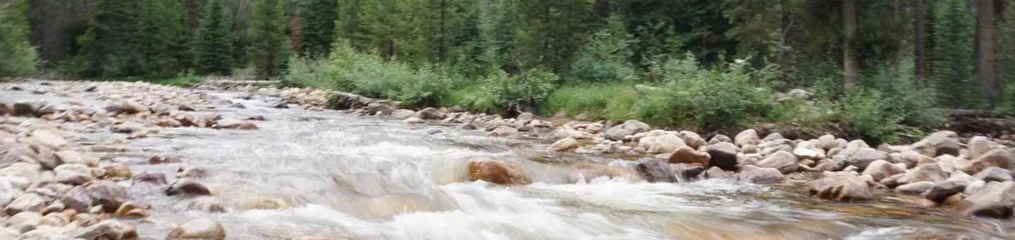
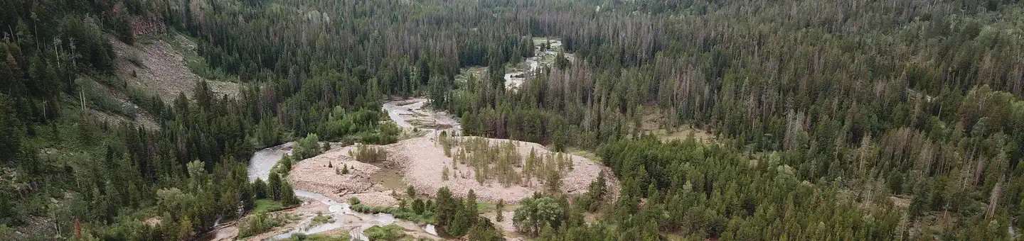
The campground is situated in an aspen forest dotted with subalpine fir, lodgepole pine and spruce near the North Fork Duchesne River at an elevation of 7,400 feet. The campground affords beautiful scenic views of the surrounding canyon and summer wildflowers are plentiful.
Recreation
Fishing for brook, brown and rainbow trout is a popular activity on the North Fork Duchesne. Hiking, mountain biking, OHV and horseback riding trails are in the area.
Guidebooks for Utah
We earn a small commission if you buy through these links. It does not change what we list.


Titles come from Open Library's catalog, matched by subject heading or by title.
Reference
Questions people ask
Do I need a reservation at Iron Mine?
Sites at Iron Mine are reservable on Recreation.gov. This site can be reserved by calling Toll Free 1-877-444-6777 (International 518-885-3639 or TDD 877-833-6777) or on-line at Recreation.gov Any walk-up sites are listed on the booking page.
Source: Recreation.gov
How much does it cost to camp at Iron Mine?
$10-$16/night for single/double unit 10 people in each single site and 20 people in each double site. $25/night for group unit with a capacity of 50 people.
Source: Recreation.gov
What time is check-in at Iron Mine?
Check-in 2:00 PM, checkout 2:00 PM.
Source: Recreation.gov
What does it cost to cancel a reservation at Iron Mine?
A $10.00 service fee will apply if you change or cancel your reservation.
Source: Charges and cancellations
How many sites does Iron Mine have?
26 sites, including 15 standard sites without power and 1 group site.
Source: Recreation.gov
Will my RV fit at Iron Mine?
The longest site here provides 60 feet of vehicle capacity. Most sites are shorter. The sidebar tool checks a trailer or motorhome length against every site.
Source: Will my RV fit
Can I have a campfire at Iron Mine?
Fires are allowed in the provided rings under normal conditions. As of 2026-10-16, there are 4 active fires within 50 miles, so check current restrictions before you light one.
Source: Fire nearby
What is there to do at Iron Mine?
Fishing for brook, brown and rainbow trout is a popular activity on the North Fork Duchesne. The Recreation section on this page has the rest.
Source: Recreation
What is the nearest town to Iron Mine?
Duchesne, Utah. The North Fork Drainage provides access to the Granddaddy Lake region of the High Uintas via Grandview Trail.
Source: Getting there
What if Iron Mine is full?
The nearest public campgrounds are Hades (1.6 mi), Aspen (4.5 mi), and Cobblerest Campground (5.5 mi).
Source: Campgrounds nearby