Mill Hollow Guard Station
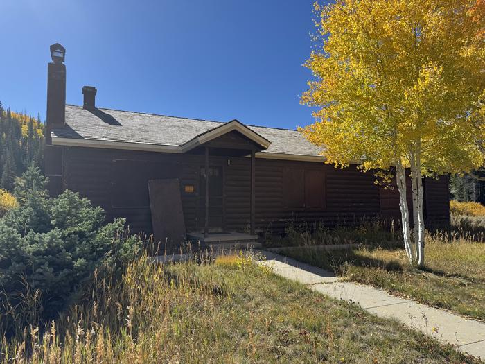
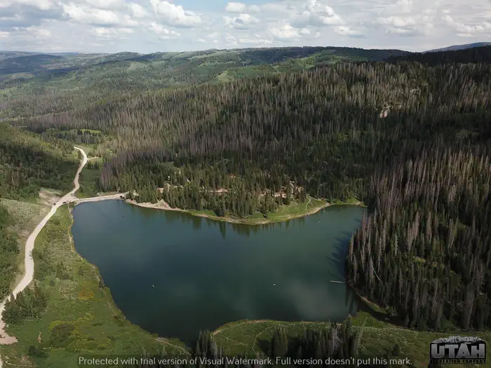
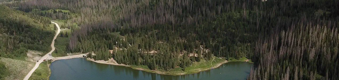
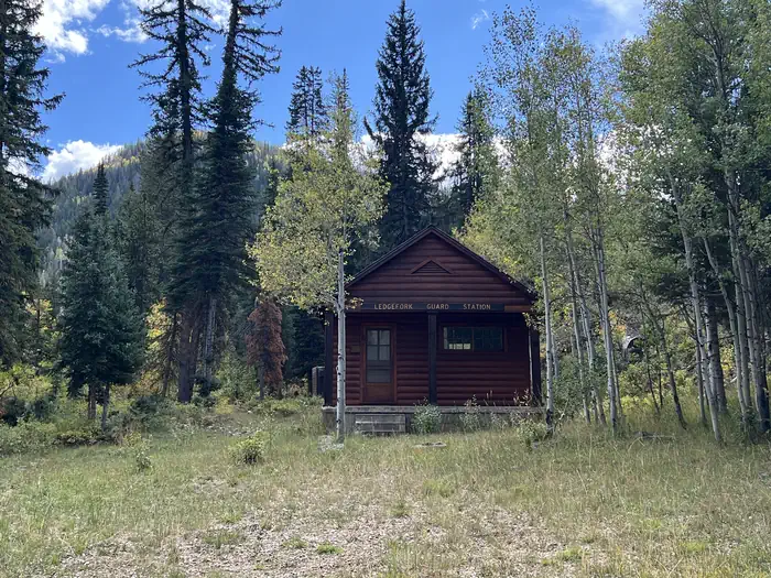
The Mill Hollow Guard Station is located in the Uinta National Forest next to Mill Hollow Reservoir and campground at an elevation of 8,800 feet. This is a unique recreational experience of staying in a historic Forest Service cabin while providing funds for the ongoing maintenance and renovation of these historic buildings.
Check availability on Recreation.gov ↗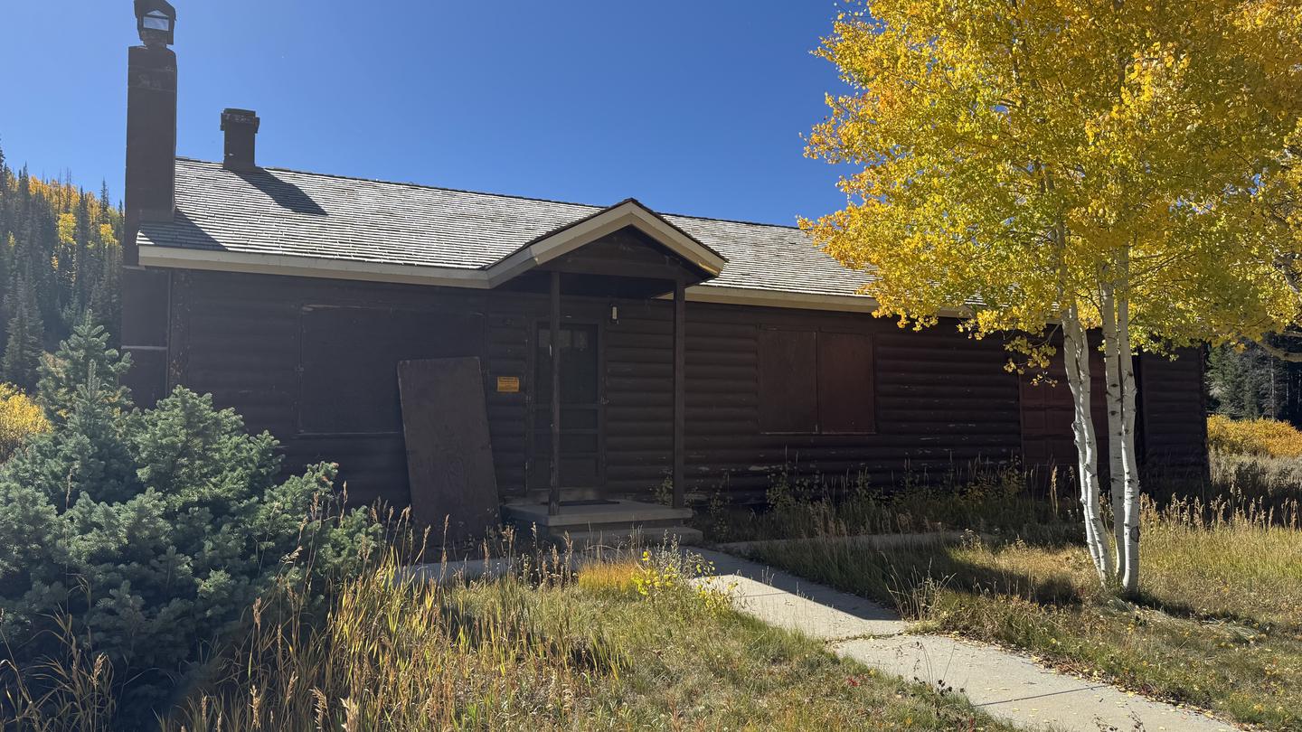
Site mix
| Cabins | 1 |
| Host/management | 1 |
Amenities & rules
| Campfires | Allowed, subject to restrictions |
| Fees | $157.00 - 8 people, 2 vehicles |
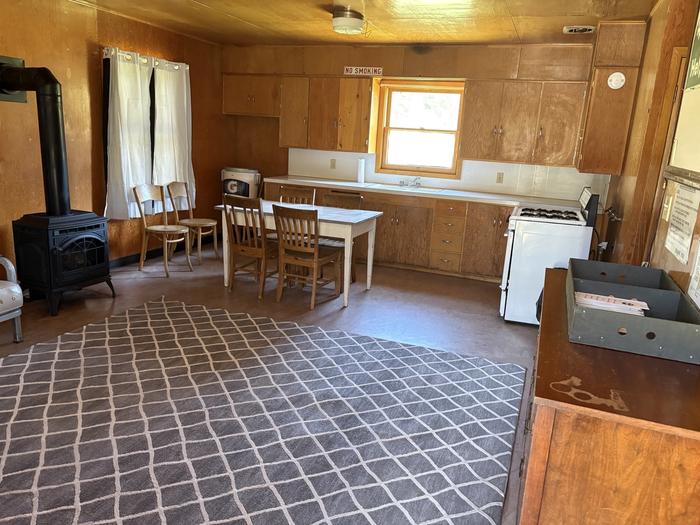
The maximum capacity of the complex is 8 people. There are 2 bedrooms with queen beds. The bathroom is located on the main floor. The gathering area is located on the main floor, equipped with sofas and chairs Bring your linens, dishes, silverware, cups, and glasses, pots and pans are provided- fully equipped kitchen. There is running water, a shower, flush toilets, a wood stove, and propane lights/appliances. Utilities are included. No pets are allowed.
Individual sites vary. Confirm on Recreation.gov or with the managing office.
Weather by month
Getting there
From Woodland, Utah, travel 12 miles southeast on State Highway 35. Turn onto Forest Road 054 and travel 2.8 miles to the campground entrance.
| Nearest town | Kamas, Utah |
| Coordinates | 40.4960° N, 111.0830° W · Directions ↗ |
Good to know
- The garage is not accessible to the public.
Charges and cancellations
Change and Cancellation Policies and Fees Overnight and Day Use Facilities: To ensure fairness, reservation arrival or departure dates may not be changed beyond the booking window until 18 days after booking the reservation. Camping / Day Use: A $10.00 service fee will apply if you change or cancel your reservation (including campsites, cabins, lookouts, group facilities, etc.). The $10.00 service fee will be deducted from the refund amount. Late Cancellations Overnight and Day Use Facilities: Late cancellations are those cancelled between 12:01 a.m. Individual Campsites: If a customer cancels a reservation the day before or on the day of arrival they will be charged a $10.00 service fee and will also forfeit the first night's use fee (not to exceed the total paid for the original reservation). Cancellations for a single night's reservation will forfeit the entire use fee but no cancellation fee will apply.
Fire nearby
- PrescribedWest Fork Rx
3 mi from the campground · 730 acres
- PrescribedTaylors Fork Rx
11 mi from the campground · 300 acres
- PrescribedThaynes Canyon 2026 Piles Rx
26 mi from the campground · 73 acres
- PrescribedSpring Dell Rx
31 mi from the campground
Distance is to the reported incident point, not the fire edge. Call the managing office before you drive.
Supplies & services
| Dump station | Dump station ↗ | 6 mi |
| Outdoor gear | Northland Professional USA ↗ | 17.4 mi |
| RV sales & service | Camping World ↗ | 42.4 mi |
Locations © OpenStreetMap contributors. Call ahead; hours change seasonally.
Explore
Worth a stop
Soapstone Basin, only 8 miles north of the guard station, offers miles of designated dier trails for off-road vehicle enthusiasts and mountain bikers. Soapstone also offers excellent birding opportunities.
- 9.3 miBeaver Creek Picnic Area ↗Day use
- 12.4 miMurdock Basin Atv Trailhead ↗Trailhead
- 12.7 miUpper Falls Picnic Area ↗Day use
- 14.4 miGrandview Trailhead ↗Trailhead
Trails nearby
- 0.7 miGranite School Trail2.4 mi trail · hiking, horse, bike
- 1.1 miMill Hollow4.2 mi trail · hiking, horse, bike
- 1.2 miMill Hollow Shoreline Trail0.9 mi trail · hiking, horse, bike
- 1.5 miMill Hollow Snomo Groomed ↗10.4 mi trail · snowmobile, snowshoe, ski
- 2 miYellow Lake Trail1.1 mi trail · hiking, horse, bike
- 2.1 miWillow Hollow Ridge1.9 mi trail · hiking, horse, bike, motorcycle and 1 more
Trail and trailhead records are the Forest Service's. Distances are straight-line to the nearer trail end. Trail conditions are not tracked here.
Public land it sits in
Uinta-Wasatch-Cache National Forest begins about 5.3 miles away, and it is the closest of these.
- 5.3 miUinta-Wasatch-Cache National Forest ↗National Forest · Forest Service · 2,912,954 acres
Each unit is published as a centre point and an acreage rather than a boundary, so this section stands it in for a circle of the same area. Whether a campground is inside, and how far it is from one it is outside, are both approximate.
Other campgrounds nearby
Cabin and lookout rentals nearby

On the National Register nearby
- Samuel W. Stewart Ranch HouseBuilding · Woodland · 5 mi
- Stewart-Hewlett Ranch Dairy BarnBuilding · Woodland · 5 mi
- Stewart Ranch Foreman's HouseBuilding · Woodland · 5.1 mi
Natural features
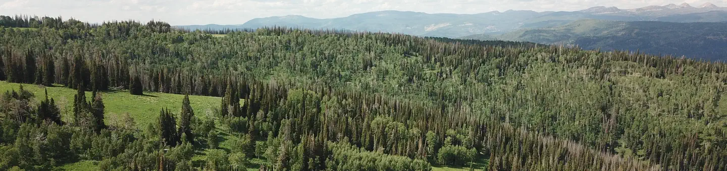
The Guard Station is situated in a dense forest of fir, lodgepole pine and aspen. Wildlife and summer wildflowers are abundant.
Recreation
Visitors enjoy canoeing and kayaking on the small Mill Hollow Reservoir. The reservoir also offers rainbow and albino rainbow trout fishing. The 1-mile Lakeshore Trail and 2-mile Mill Hollow Trail provide excellent hiking opportunities.
Guidebooks for Utah
We earn a small commission if you buy through these links. It does not change what we list.


Titles come from Open Library's catalog, matched by subject heading or by title.
Reference
Questions people ask
Do I need a reservation at Mill Hollow Guard Station?
Sites at Mill Hollow Guard Station are reservable on Recreation.gov. Any walk-up sites are listed on the booking page.
Source: Recreation.gov
How much does it cost to camp at Mill Hollow Guard Station?
$157.00 - 8 people, 2 vehicles
Source: Recreation.gov
What time is check-in at Mill Hollow Guard Station?
Check-in 03:00 PM, checkout 12:00 PM.
Source: Recreation.gov
What does it cost to cancel a reservation at Mill Hollow Guard Station?
Camping / Day Use: A $10.00 service fee will apply if you change or cancel your reservation (including campsites, cabins, lookouts, group facilities, etc.).
Source: Charges and cancellations
How many sites does Mill Hollow Guard Station have?
2 sites, including 1 cabin.
Source: Recreation.gov
Are there showers or a dump station at Mill Hollow Guard Station?
There is running water, a shower, flush toilets, a wood stove, and propane lights/appliances.
Source: Recreation.gov
Can I have a campfire at Mill Hollow Guard Station?
Fires are allowed in the provided rings under normal conditions. As of 2026-10-16, there are 4 active fires within 50 miles, so check current restrictions before you light one.
Source: Fire nearby
What is there to do at Mill Hollow Guard Station?
Visitors enjoy canoeing and kayaking on the small Mill Hollow Reservoir. The Recreation section on this page has the rest.
Source: Recreation
What is the nearest town to Mill Hollow Guard Station?
Kamas, Utah. Soapstone Basin, only 8 miles north of the guard station, offers miles of designated dier trails for off-road vehicle enthusiasts and mountain bikers.
Source: Getting there
What if Mill Hollow Guard Station is full?
The nearest public campgrounds are Mill Hollow (1.1 mi), Wolf Creek (2.9 mi), and Ponderosa Group Campground (6.1 mi).
Source: Campgrounds nearby