Cochiti Campground
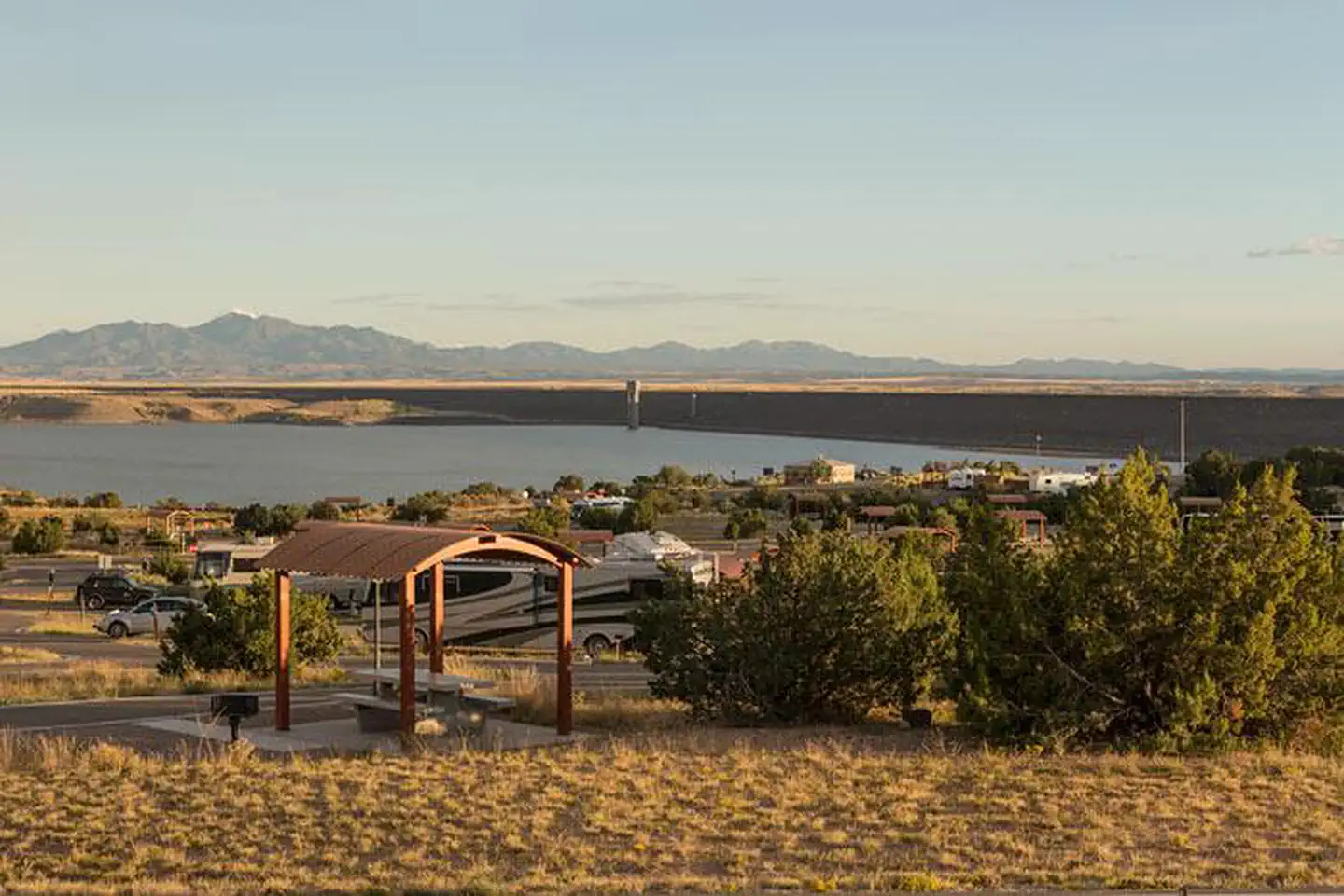
Cochiti Recreation Area is located in Sandoval County, New Mexico, within the boundaries of the Pueblo de Cochiti Indian Reservation. The lake offers two public recreation areas: Cochiti on the west side of the lake and Tetilla Peak on the east side. Both sides offer spectacular scenic views of the water and surrounding mountains. The Cochiti Dam is one of the ten largest earth-fill dams in the United States, and also one of the largest in the world. The lake derives its name from the Indian Pueblo on the Cochiti Reservation.
More like this: electric hookups in New Mexico · reservable in New Mexico · big rigs in New Mexico · pets allowed in New Mexico
Check availability on Recreation.gov ↗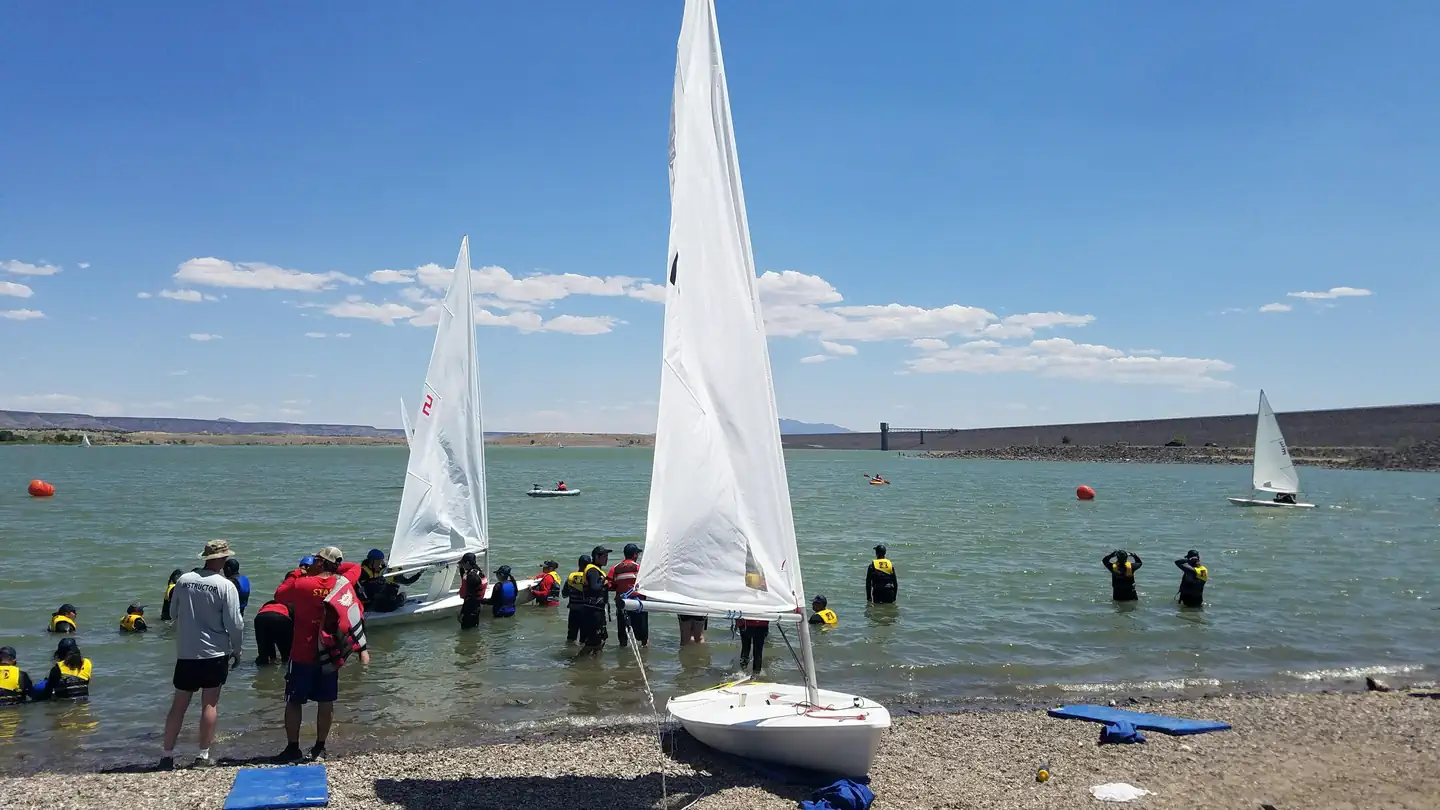

Site mix
| Standard with electric | 48 |
| Standard, no hookups | 32 |
Site guide
Will my RV fit
The longest site here provides 50 feet of vehicle capacity. Most sites are shorter.
80 sites in 4 loops. Tap a filter to narrow the list; the map follows.
| Site | Loop | Type | Entry | Fits, ft | Surface | Shade | Power | Water / sewer | People / vehicles | Fires | Accessible |
|---|---|---|---|---|---|---|---|---|---|---|---|
| 051 | BUFFALO GROVE | Electric | Pull-through | 50 | Paved | 15/30/50 amp | Yes / – | 7 / 2 | No | ||
| 052 | BUFFALO GROVE | Electric | Pull-through | 50 | Paved | 15/30/50 amp | Yes / – | 7 / 2 | No | ||
| 053 | BUFFALO GROVE | Electric | Back-in | 50 | Paved | 15/30/50 amp | Yes / – | 7 / 2 | No | ||
| 054 | BUFFALO GROVE | Electric | Pull-through | 50 | Paved | 15/30/50 amp | Yes / – | 7 / 2 | No | ||
| 055 | BUFFALO GROVE | Electric | Pull-through | 50 | Paved | 15/30/50 amp | Yes / – | 7 / 2 | No | ||
| 056 | BUFFALO GROVE | Electric | Pull-through | 50 | Paved | 15/30/50 amp | Yes / – | 7 / 2 | No | ||
| 057 | BUFFALO GROVE | Electric | Back-in | 50 | Paved | 15/30/50 amp | Yes / – | 7 / 2 | No | ||
| 058 | BUFFALO GROVE | Electric | Pull-through | 50 | Paved | 15/30/50 amp | Yes / – | 7 / 2 | No | ||
| 059 | BUFFALO GROVE | Electric | Back-in | 50 | Paved | 15/30/50 amp | Yes / – | 7 / 2 | No | ||
| 060 | BUFFALO GROVE | Electric | Back-in | 50 | Paved | 15/30/50 amp | Yes / – | 7 / 2 | No |
Per-site records as published by the managing agency on Recreation.gov. Blank cells mean the agency listed nothing for that site. Check-in 3:00 PM, checkout 2:00 PM.
Amenities & rules
| Hookups | Electric, water |
| Max vehicle length | 50 ft |
| Equipment | RVs & trailers, Tents |
| Pets | Allowed |
| Accessibility | Sites 01, 04, 06, 07 and 7 more are listed accessible |
The campground consists of four loops. Juniper Loop campsites have electric hookups and some have water. Elk Run and Ringtail Loops are non-electric and have community water spigots. All sites in Buffalo Grove Loop have water and electric hookups. The Cochiti boat ramp is open year-round and is accessible by a paved road. The ramp has four concrete lanes for loading and unloading.
Individual sites vary. Confirm on Recreation.gov or with the managing office.
Weather by month
Getting there
From Albuquerque, New Mexico, take Interstate 25 north to exit 259. Turn west on State Route 22 and proceed through Pena Blanca to the park office and recreation area.
| Nearest town | Pena Blanca, New Mexico |
| Coordinates | 35.6417° N, 106.3250° W · Directions ↗ |
Fire nearby
- WildfireFrijoles
32 mi from the campground · 15,956 acres · 90% contained
- PrescribedLower Kirtland Rx
45 mi from the campground
Distance is to the reported incident point, not the fire edge. Call the managing office before you drive.
Supplies & services
| Dump station | Juniper Campground Dump Station ↗ | 10.9 mi |
| RV sales & service | Land of Enchantment RV ↗ | 15.7 mi |
| Outdoor gear | Sierra ↗ | 21.3 mi |
Locations © OpenStreetMap contributors. Call ahead; hours change seasonally.
Explore
Video
Cochiti Lake Campground - Cochiti Lake, NM
Public land it sits in
Santa Fe National Forest begins about 3.3 miles away, and it is the closest of these.
- 3.3 miSanta Fe National Forest ↗National Forest · Forest Service · 1,681,851 acres
- 4 miKasha-Katuwe Tent Rocks National Monument ↗National Monument · Bureau of Land Management · 5,403 acres
- 4.8 miBandelier Wilderness ↗Wilderness · National Park Service · 23,267 acres
Each unit is published as a centre point and an acreage rather than a boundary, so this section stands it in for a circle of the same area. Whether a campground is inside, and how far it is from one it is outside, are both approximate.
Other campgrounds nearby
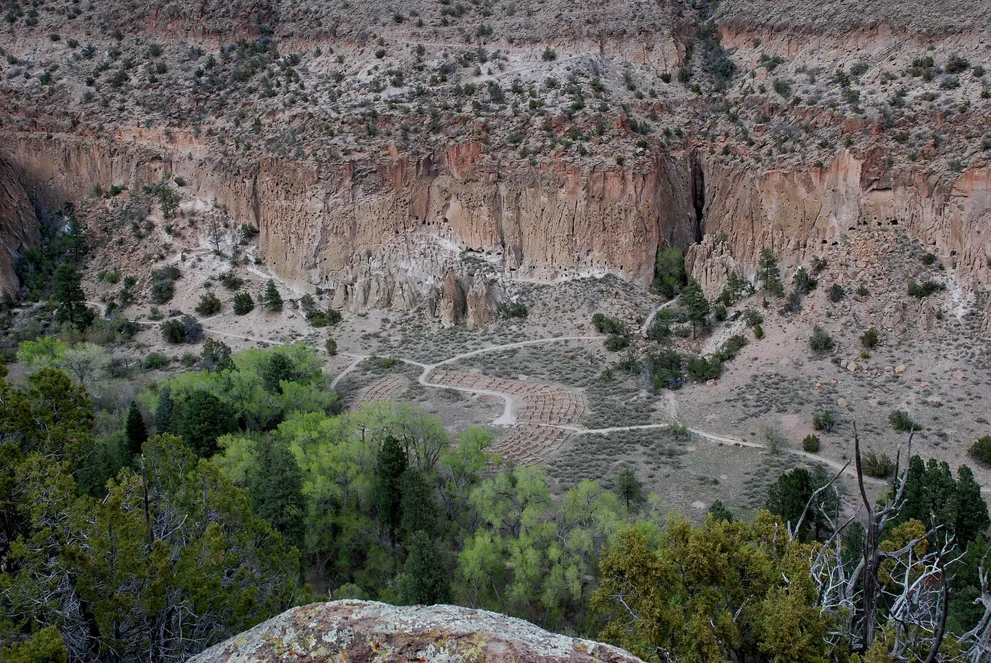
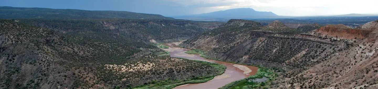
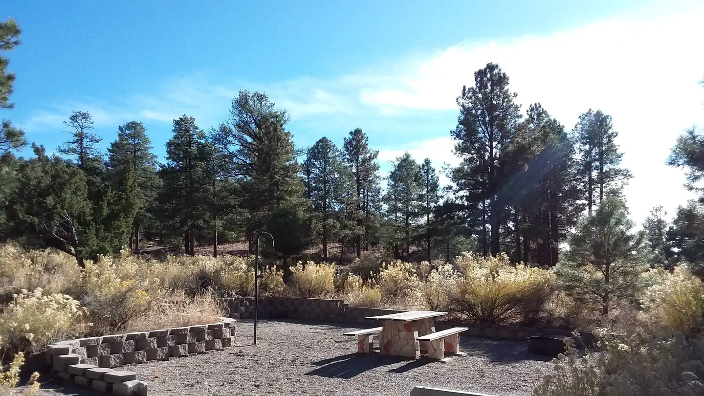
Historic landmarks nearby


Natural features
Cochiti Lake sits at 5,343ft in elevation and is nestled in the foothills of the Jemez Mountains. Our high desert environment is dominated by juniper, pinon trees, and mixed grasslands. There are many opportunities for wildlife viewing. Four osprey nesting platforms have been erected around the lake to provide nesting sites, as well as viewing opportunities. On the east side of the lake, deer, coyote, river otters, rabbits, beavers, and the occasional bear are often sighted.
Recreation
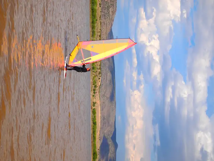
Our quiet lake is an ideal location for all paddle, wind surfing, and sailing craft. The lake is also a popular fishing spot for species such as bass, crappie, walleye, pike, catfish, sunfish and trout. Cochiti Recreation Area has a popular, family friendly, swim beach Day Use area for public enjoyment. It is a fee area, $5 per vehicle, but the cost is covered by the campsite fee for visitors staying in the campground. Additionally, the Cochiti picnic area has 21 covered picnic sites with a large group site that can be reserved by calling the main office. Cochiti Day Use Areas are open from April 15th to October 15th.
Nearby
Cochiti Lake is five miles from Tent Rocks National Monument, which has fascinating geological formations.
Guidebooks for New Mexico
We earn a small commission if you buy through these links. It does not change what we list.
Titles come from Open Library's catalog, matched by subject heading or by title.
Reference
Questions people ask
Do I need a reservation at Cochiti Campground?
Sites at Cochiti Campground are reservable on Recreation.gov. Any walk-up sites are listed on the booking page.
Source: Recreation.gov
What time is check-in at Cochiti Campground?
Check-in 3:00 PM, checkout 2:00 PM.
Source: Recreation.gov
How many sites does Cochiti Campground have?
80 sites, including 48 standard sites with power and 32 standard sites without power.
Source: Recreation.gov
Will my RV fit at Cochiti Campground?
The longest site here provides 50 feet of vehicle capacity. Most sites are shorter. The sidebar tool checks a trailer or motorhome length against every site.
Source: Will my RV fit
Does Cochiti Campground have hookups?
Yes, electric and water hookups at some sites.
Source: Recreation.gov
Are pets allowed at Cochiti Campground?
Yes, pets are allowed at Cochiti Campground. Leash rules apply.
Source: Recreation.gov
Are there accessible sites at Cochiti Campground?
Sites 01, 04, 06, and 07 are listed accessible on Recreation.gov, 11 sites in all. What that covers (a paved pad, an accessible table, a nearby accessible restroom) is on each site's booking page.
Source: Recreation.gov
Is there cell service at Cochiti Campground?
FCC coverage maps show Verizon 4G LTE and AT&T 4G LTE at the campground point. Terrain changes that from one site to the next.
Source: FCC Broadband Map
What is there to do at Cochiti Campground?
Our quiet lake is an ideal location for all paddle, wind surfing, and sailing craft. The Recreation section on this page has the rest.
Source: Recreation
What is the nearest town to Cochiti Campground?
Pena Blanca, New Mexico. Cochiti Lake is five miles from Tent Rocks National Monument, which has fascinating geological formations.
Source: Getting there
What if Cochiti Campground is full?
The nearest public campgrounds are Tetilla Peak (1.2 mi), Juniper Campground (11 mi, partly first-come), and Ponderosa Group Campground (13.3 mi).
Source: Campgrounds nearby