Ponderosa Group Campground
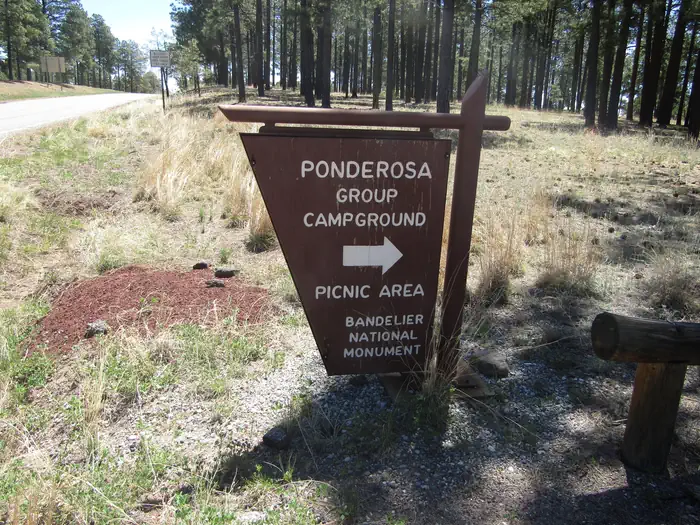
Ponderosa Group Campground is located 6 miles (9.7 km) from the park's main entrance and is an ideal place to stay for large groups visiting Bandelier National Monument. The campground is adjacent to Ponderosa Trailhead providing access to more than 70 miles (113 km) of hiking trails and is just a short drive from the Visitor Center, the Frijoles Canyon Shuttle System (mid-May to mid-October), and the town of Los Alamos, Valles Caldera National Preserve, Manhattan Project National Historic Site, and the Santa Fe National Forest. Ponderosa Group Campground is open year-round (water is only available from mid-May to mid-October, subject to delays and/or early shut off).
More like this: reservable in New Mexico · pets allowed in New Mexico · group sites in New Mexico
Check availability on Recreation.gov ↗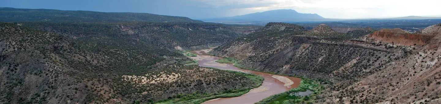
Site mix
| Group sites | 2 |
Site guide
2 sites. Tap a filter to narrow the list; the map follows.
| Site | Entry | Surface | Shade | People / vehicles | Fires | Rating |
|---|---|---|---|---|---|---|
| Group A | Back-in | Gravel | Partial | 50 / – | Yes | Basic |
| Group B | Back-in | Gravel | Partial | 50 / – | Yes | Basic |
Per-site records as published by the managing agency on Recreation.gov. Blank cells mean the agency listed nothing for that site. Check-in 4:00 PM, checkout 11:30 AM.
Amenities & rules
| Hookups | None |
| Equipment | RVs & trailers, Tents |
| Pets | Allowed |
| Campfires | Allowed, subject to restrictions |
| Fees | Camping Fees. Payment for reservations is due upon booking. You may pay for first-come, first-serve campsites (loop A) at the self-pay kiosk in the campground or in-person at the Bandelier Visitor Center during business hours. Entrance fees. |
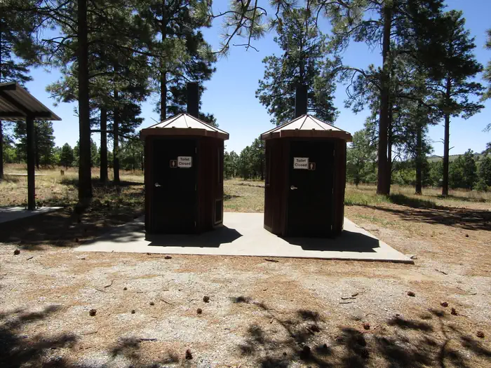
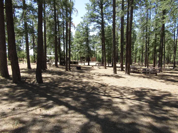
This campground is located at 7600 feet (2316 m) and is usually free of snow from mid-April through mid October. Vault toilets (with no running water), drinking water, a picnic shelter, picnic tables, food storage lockers, and campfire rings are provided at this facility. No hookup campsites are available. These sites are tent-only, but one RV per site can be accommodated in the parking area. Each site can accommodate between 10 and 50 people. Check-in time for the campground is 4:00 pm. Check-out time for the campround is 11:30 a.m. Group Picnics: Sites can be reserved for large group picnics, however the fee and process is the same as reserving the site for an overnight stay.
Individual sites vary. Confirm on Recreation.gov or with the managing office.
Weather by month
Getting there
From Santa Fe (appx 1 hour travel time). Take Highway 84/285 (Saint Francis Drive) north toward Los Alamos. Merge right onto NM 502 to Los Alamos. Exit onto NM 4 toward White Rock. Continue for 12 miles (19 km), passing through White Rock. Bandelier's entrance is on the left.
| Nearest town | Los Alamos, New Mexico |
| Coordinates | 35.8328° N, 106.3569° W · Directions ↗ |
Good to know
- Water is not available during any months with freezing temperatures (potentially mid-October to mid-May).
Fire nearby
- WildfireFrijoles
29 mi from the campground · 15,956 acres · 90% contained
- PrescribedStone Angel Fall Rx
38 mi from the campground
- PrescribedMesa Juan Domingo Fall Rx
41 mi from the campground
- PrescribedGolondrino Rx
46 mi from the campground
Distance is to the reported incident point, not the fire edge. Call the managing office before you drive.
Supplies & services
| Dump station | Juniper Campground Dump Station ↗ | 5.1 mi |
| RV sales & service | Land of Enchantment RV ↗ | 24.1 mi |
| Outdoor gear | Sierra ↗ | 24.7 mi |
Locations © OpenStreetMap contributors. Call ahead; hours change seasonally.
Explore
Worth a stop
The town of Los Alamos has shopping, museums, amenities, a movie theater, ice rink, ski hill, and is home to the Los Alamos unit of Manhattan Project National Historic Site. Nearby Department of Energy and US Forest Service lands provide trails which accommodate pets. Valles Caldera National Preserve is 16 miles (26 km) west of Bandelier. Jemez Historic Site is 37 miles (60 km) west. Pecos National Historical Park is 70 miles (113 km) southeast. Santa Fe, 40 miles (64 km) south of the park, is home to the New Mexico state capitol, museums, historic districts, art galleries, food, accomodations, and more.
- 9.3 miVolcano Discovery Center ↗Visitor center
- 9.5 miLas Conchas Day Use Site ↗Day use
- 9.9 miLas Conchas Trailhead ↗Trailhead
- 13.1 miEast Fork Trailhead #137 ↗Trailhead
- 14 mi
Trails nearby
- 0.4 miWater Canyon1.8 mi trail · hiking, horse, bike
- 0.5 miPerimeter ↗7.7 mi trail · hiking, horse, bike
- 1.3 miValle ↗5 mi trail · hiking, horse, bike, motorcycle and 2 more
- 2 miAlamo Spring ↗5.3 mi trail · hiking, horse, bike
- 2.4 miPajarito Canyon3.8 mi trail · hiking, horse, bike
- 3.5 miLos Alamos Canyon1.3 mi trail · hiking, horse, bike
Trail and trailhead records are the Forest Service's. Distances are straight-line to the nearer trail end. Trail conditions are not tracked here.
Public land it sits in
This campground sits inside Santa Fe National Forest.
- inSanta Fe National Forest ↗National Forest · Forest Service · 1,681,851 acres
- 1.9 miBandelier Wilderness ↗Wilderness · National Park Service · 23,267 acres
- 5.1 miDome Wilderness ↗Wilderness · Forest Service · 5,185 acres
Each unit is published as a centre point and an acreage rather than a boundary, so this section stands it in for a circle of the same area. Whether a campground is inside, and how far it is from one it is outside, are both approximate.
Other campgrounds nearby
On the National Register nearby
- United States Post Office-Los Alamos, New MexicoBuilding · Los Alamos · 4.6 mi
- Grant RoadStructure · Los Alamos · 5.6 mi
- Bayo RoadStructure · Los Alamos · 5.7 mi
Natural features
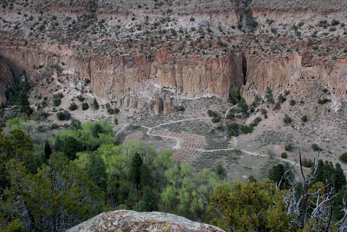
Bandelier National Monument protects over 33,000 acres (13,355 ha) of rugged, beautiful canyon and mesa country which features evidence of human presence going back over 11,000 years. Petroglyphs, dwellings carved into the soft rock cliffs, and standing masonry walls pay tribute to the early days of a culture that still survives in the surrounding communities. Bandelier National Monument sits at the southern end of the Pajarito (Spanish for "little bird") Plateau. The plateau was formed by two eruptions 1.6 and 1.4 million years ago. Home to the Bandelier Wilderness, Bandelier ranges from 5340 feet (1628 m) at the Rio Grande River to the south and 10,199 feet (3109 m) at the summit of Cerro Grande to the north, almost a mile (1.6 km) of elevation change in just under 12 miles (19 km). This elevation gradient creates a unique diversity of habitats specific to Northern New Mexico. The diversity of habitats and quick access to water supported a relatively large population of Ancestral Pueblo people.
Recreation
Accessible from Ponderosa Group Campground, the Ponderosa Trail descends into the park through ponderosa pine forest and connects to many other trails including the Middle Frijoles Trails which leads 8 miles (13 km) through Frijoles Canyon to the Visitor Center and Main Loop Trail. The Visitor Center houses museum exhibits, park film, information and ranger programs, Western National Parks Association sales outlet, and more. Entrance to Frijoles Canyon and the Visitor Center is by shuttle bus only from mid-May to mid-October. These areas are accesibile by private vehicle outside the shuttle bus period. Although rock climbing is prohibited within Bandelier National Monument, many popular climbs are within a short drive up Route 4 into the Jemez Mountains.
Guidebooks for New Mexico
We earn a small commission if you buy through these links. It does not change what we list.
Titles come from Open Library's catalog, matched by subject heading or by title.
Reference
Questions people ask
Do I need a reservation at Ponderosa Group Campground?
Sites at Ponderosa Group Campground are reservable on Recreation.gov. Any walk-up sites are listed on the booking page.
Source: Recreation.gov
How much does it cost to camp at Ponderosa Group Campground?
Camping Fees. Payment for reservations is due upon booking. You may pay for first-come, first-serve campsites (loop A) at the self-pay kiosk in the campground or in-person at the Bandelier Visitor Center during business hours.
Source: Recreation.gov
What time is check-in at Ponderosa Group Campground?
Check-in 4:00 PM, checkout 11:30 AM.
Source: Recreation.gov
How many sites does Ponderosa Group Campground have?
2 sites, including 2 group sites.
Source: Recreation.gov
Can I bring an RV to Ponderosa Group Campground?
Ponderosa Group Campground is listed for tents only.
Source: Recreation.gov
Are pets allowed at Ponderosa Group Campground?
Yes, pets are allowed at Ponderosa Group Campground. Leash rules apply.
Source: Recreation.gov
Can I have a campfire at Ponderosa Group Campground?
Fires are allowed in the provided rings under normal conditions. As of 2026-10-16, there are 4 active fires within 50 miles, so check current restrictions before you light one.
Source: Fire nearby
Is there cell service at Ponderosa Group Campground?
FCC coverage maps show Verizon 4G LTE, AT&T 4G LTE, and T-Mobile 5G at the campground point. Terrain changes that from one site to the next.
Source: FCC Broadband Map
What is there to do at Ponderosa Group Campground?
Accessible from Ponderosa Group Campground, the Ponderosa Trail descends into the park through ponderosa pine forest and connects to many other trails including the Middle Frijoles Trails which leads 8 miles (13 km) through Frijoles Canyon to the Visitor Center and Main Loop Trail. The Recreation se
Source: Recreation
What is the nearest town to Ponderosa Group Campground?
Los Alamos, New Mexico. The town of Los Alamos has shopping, museums, amenities, a movie theater, ice rink, ski hill, and is home to the Los Alamos unit of Manhattan Project National Historic Site.
Source: Getting there
What if Ponderosa Group Campground is full?
The nearest public campgrounds are Juniper Campground (5 mi, partly first-come), Tetilla Peak (13.2 mi), and Cochiti Campground (13.3 mi).
Source: Campgrounds nearby
Which national park is Ponderosa Group Campground in?
Ponderosa Group Campground is a Bandelier National Monument campground. Entrance fees, alerts, and hours are on Park Atlas.
Source: Bandelier National Monument