Pines Group Site
Pines Group Site is conveniently located at the Stony Gorge Dam, just 18 miles downstream from East Park Dam and 5 miles west of Fruto in western Glenn county. Stony Gorge Dam, Orland Project, was completed in 1928 and is a concrete slab and buttress structure with a height of 139 feet and a crest length of 868 feet. The group campsite area is complete with views of the Stony Gorge Reservoir and the scenic hills beyond. There's plenty of open space to throw a ball around, stroll, and explore the area's wildflowers. Plus the warm-water fishery with an 18-mile shoreline is huge draw for avid fishermen.
More like this: reservable in California · pets allowed in California · group sites in California
Check availability on Recreation.gov ↗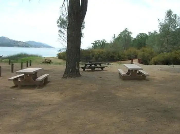
Site mix
| Group sites | 1 |
Site guide
1 site. Tap a filter to narrow the list; the map follows.
| Site | Surface | Shade | Waterfront | People / vehicles |
|---|---|---|---|---|
| 001 | Gravel | Partial | Lakefront | 100 / 50 |
Per-site records as published by the managing agency on Recreation.gov. Blank cells mean the agency listed nothing for that site. Check-in 2:00 PM, checkout 12:00 PM.
Amenities & rules
| Pets | Allowed |
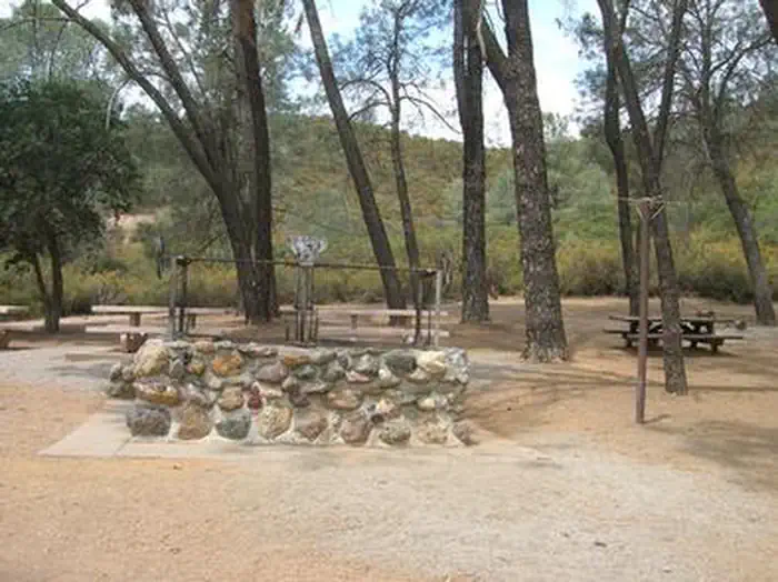
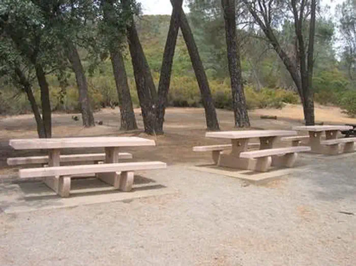
A boat launch is located 1 mile from the campsite, and the group area is ideal for swimming. Picnic tables are dispersed so that some are shaded by trees, while others capture the warm sun. The camping area has a stone fire pit and a large brick barbecue.
Individual sites vary. Confirm on Recreation.gov or with the managing office.
Weather by month
Getting there
In Glenn County, located near Elk Creek, CA. Exit Interstate-5 at # 603 - Willows and proceed west on California Highway 162. Travel approximately 20 miles to the junction of County Road 304. Turn south on the roadway and continue over two cattle guards approximately 2.5 miles.
| Coordinates | 39.5942° N, 122.5294° W · Directions ↗ |
Good to know
- All water sports are highly recommended at this campground.
Fire nearby
- PrescribedHoward Forest Frp Rx
45 mi from the campground · 13 acres
Distance is to the reported incident point, not the fire edge. Call the managing office before you drive.
Supplies & services
| RV sales & service | Mike Friend RVs ↗ | 37 mi |
| Outdoor gear | Sportsman's Warehouse ↗ | 38 mi |
Locations © OpenStreetMap contributors. Call ahead; hours change seasonally.
Explore
Worth a stop
Hike the Red Mountain Trail for 360-degree views of Black Butte Lake, Lassen Peak, and Mount Shasta. Don't miss out on a scenic drive through the Mendocino Forest either.
- 5.8 mi
- 12 miLong Point Trailhead ↗Trailhead
Public land it sits in
This campground sits inside Mendocino National Forest.
- inMendocino National Forest ↗National Forest · Forest Service · 1,073,580 acres
- 12.9 miSnow Mountain Wilderness ↗Wilderness · Forest Service · 60,222 acres
Each unit is published as a centre point and an acreage rather than a boundary, so this section stands it in for a circle of the same area. Whether a campground is inside, and how far it is from one it is outside, are both approximate.
Other campgrounds nearby

Natural features
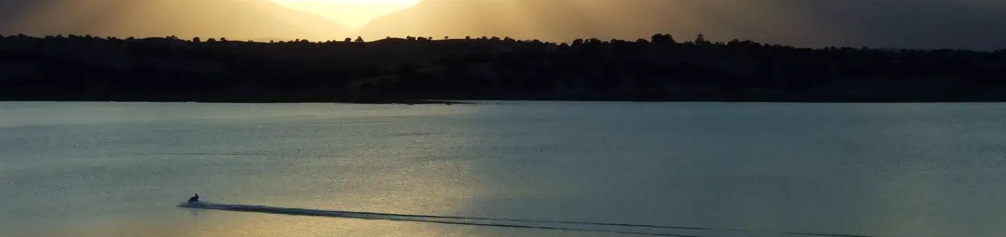
Pines Group Site is set on the northwest tip of the reservoir along 18 miles of lake shoreline. The area is part of the foothills beside the Mendocino National Forest, which straddles the Coastal Mountain Range.
Recreation
The area boasts excellent boating and shoreline accessibility. One boat ramp useable most of the summer, is dependent on water levels. Available bass species include largemouth and smallmouth bass of Texan strain that grow faster and mature earlier (10 to 12 pounds) and a thriving bluegill and crappie population (2 to 3 pounds). Catfishing is good year-round (up to 20 pounds). Swimming in the warm, refreshing waters is also popular.
Guidebooks for California
We earn a small commission if you buy through these links. It does not change what we list.

Titles come from Open Library's catalog, matched by subject heading or by title.
Reference
Questions people ask
Do I need a reservation at Pines Group Site?
Sites at Pines Group Site are reservable on Recreation.gov. Any walk-up sites are listed on the booking page.
Source: Recreation.gov
What time is check-in at Pines Group Site?
Check-in 2:00 PM, checkout 12:00 PM.
Source: Recreation.gov
How many sites does Pines Group Site have?
1 site, including 1 group site.
Source: Recreation.gov
Are pets allowed at Pines Group Site?
Yes, pets are allowed at Pines Group Site. Leash rules apply.
Source: Recreation.gov
What is there to do at Pines Group Site?
The area boasts excellent boating and shoreline accessibility. The Recreation section on this page has the rest.
Source: Recreation
What if Pines Group Site is full?
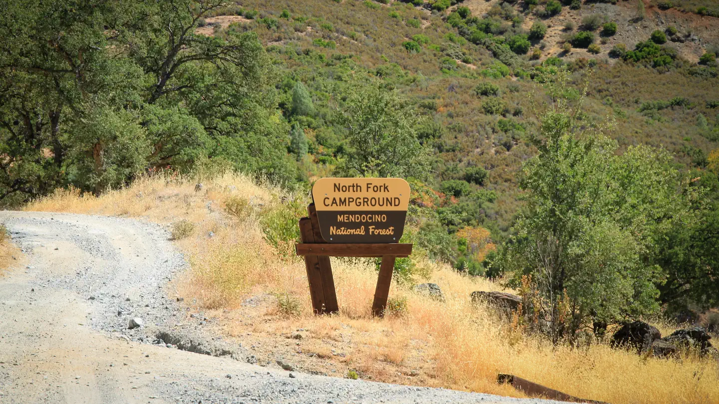
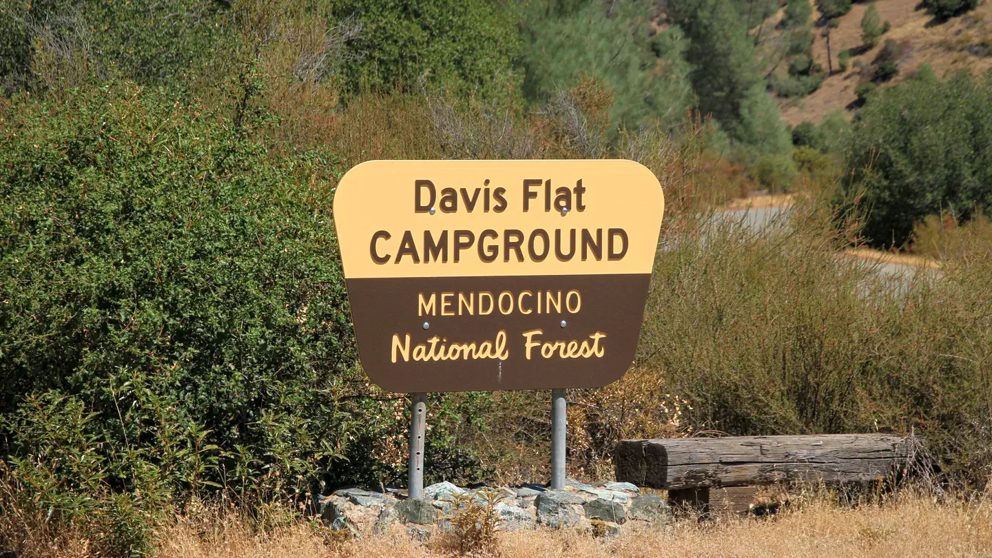
The nearest public campgrounds are Orland Buttes (15.5 mi), North Fork (16.2 mi, first-come), and Davis Flat (17.3 mi, first-come).
Source: Campgrounds nearby