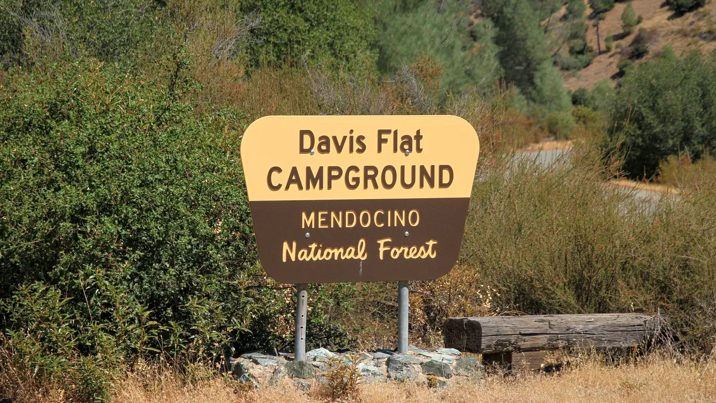
Davis Flat
Sites are first-come, first-served. Recreation.gov lists this campground for paying on site, and you may be able to pay with the Scan and Pay feature of its app.
More like this: first-come in California
Amenities & rules
Campground is open with 20 tables, fire rings, and 4 dumpsters. Accomodates up to 50 foot trailers.
Individual sites vary. Confirm on Recreation.gov or with the managing office.
Season & status
| Status | Open |
| Forest | Mendocino National Forest |
| Fees | $5 per vehicle |
Weather by month
Getting there
Located 9.5 miles west of Stonyford on Road 18N03.
| Nearest town | Stonyford, California |
| Coordinates | 39.3629° N, 122.6537° W · Directions ↗ |
Fire nearby
- PrescribedHoward Forest Frp Rx
35 mi from the campground · 13 acres
Distance is to the reported incident point, not the fire edge. Call the managing office before you drive.
Supplies & services
| Dump station | Dump station ↗ | 25.3 mi |
| Outdoor gear | Clearlake Outdoors ↗ | 27.8 mi |
| RV sales & service | Mike Friend RVs ↗ | 50.1 mi |
Locations © OpenStreetMap contributors. Call ahead; hours change seasonally.
Explore
Video
Davis Bayou Campground Review & Things to Do While Visiting
Worth a stop
The south end of the Grindstone Ranger District offers over 200 miles of some of the most enjoyable and challenging OHV routes in the nation. The "Mendocino OHV Corridor" is a designated 40 mile, east-west route across the south end of the Forest connecting the Stonyford OHV Staging Area and the Upper Lake OHV Staging Area.
- 0.2 miBathhouse Trailhead ↗Trailhead
- 0.5 miNail Track Ohv Play Area ↗OHV / range
Trails nearby
- 0.1 miLoop #20.9 mi trail
- 0.2 miAccess0.8 mi trail
- 0.6 miMill Creek Parallel3 mi trail
- 0.8 miWolf Glade3.1 mi trail
- 0.8 miContour1.5 mi trail
- 0.9 miLetts Ridge ↗4.8 mi trail
Trailheads within three miles
- 0.2 miBathhouse Trailhead ↗Mendocino National Forest · Season January
Trail and trailhead records are the Forest Service's. Distances are straight-line to the nearer trail end. Trail conditions are not tracked here.
Public land it sits in
This campground sits inside Mendocino National Forest.
- inMendocino National Forest ↗National Forest · Forest Service · 1,073,580 acres
- 1.7 miBerryessa Snow Mountain National Monument ↗National Monument · Bureau of Land Management · 421,086 acres
- 2.3 miSnow Mountain Wilderness ↗Wilderness · Forest Service · 60,222 acres
Each unit is published as a centre point and an acreage rather than a boundary, so this section stands it in for a circle of the same area. Whether a campground is inside, and how far it is from one it is outside, are both approximate.
Other campgrounds nearby
Cabin and lookout rentals nearby
Natural features
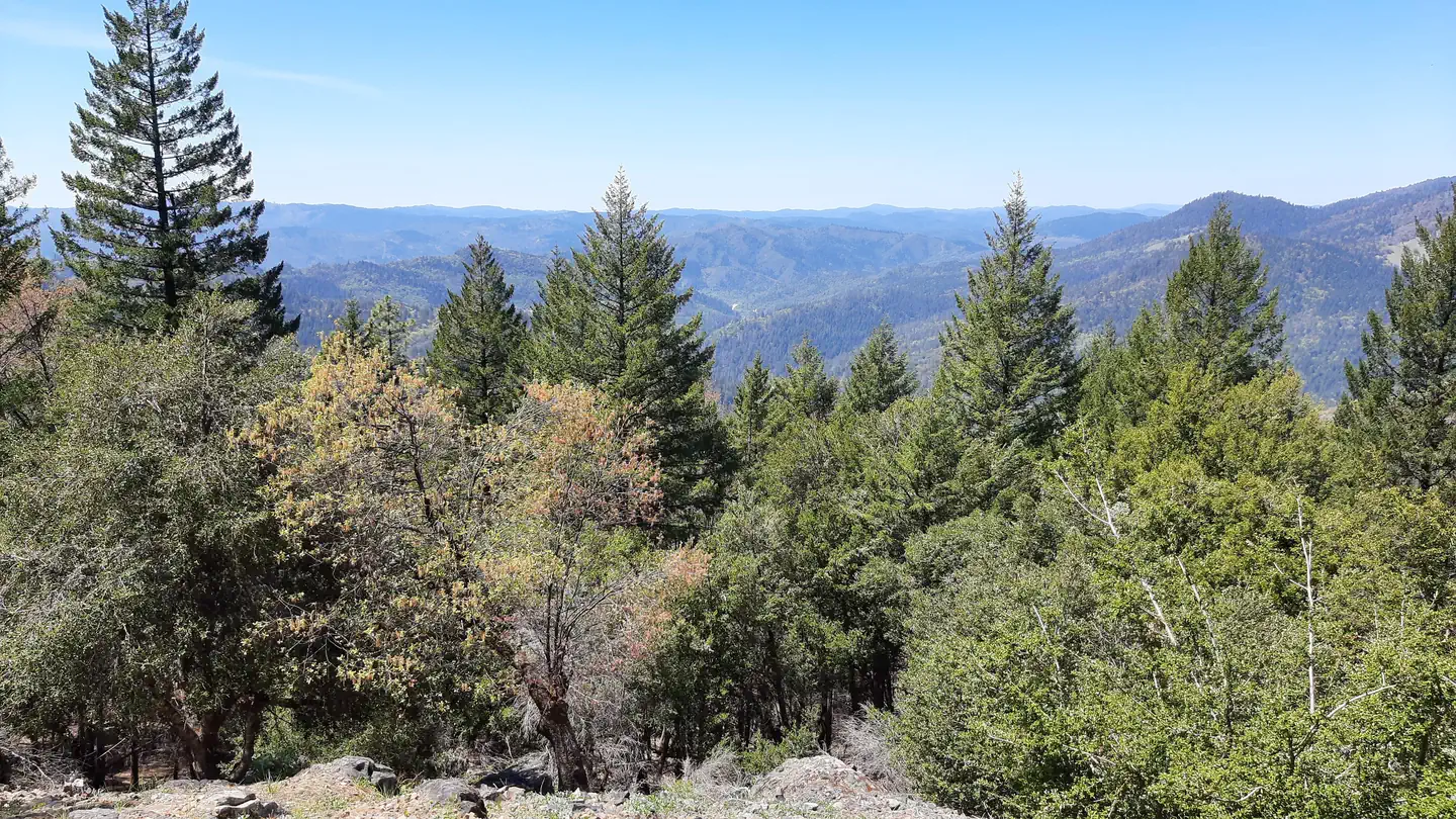
Vegetation varies from low elevation chaparral to tall pine and fir forest in the high country.
Recreation
The Forest Service in cooperation with the State of California Off-Highway Vehicle Fund, (Green Sticker), has developed roads, trails, and facilities for further enjoyment of the OHV user. Remember, these are your facilities and OHV funds are being used to develop and maintain them. Forest Service roads open to Off-Highway Vehicles are considered public roads. All motorcycle riders on public lands in the State of California must wear a safety helmet meeting the standards adopted by the US Department of Transportation. State law requires all vehicles, including motorcycles to be registered. You must have a current Green or Red Sticker, or Highway License. Highway licensed vehicles must meet all standards for operating on a public highway and be operated in accordance with California state law. Your vehicle must be equipped with a properly installed Forest Service approved spark arrester in good working condition. For your safety and the safety of others, Off-Highway Vehicles must never be operated in a manner likely to endanger any person or property.
Guidebooks for California
We earn a small commission if you buy through these links. It does not change what we list.

Titles come from Open Library's catalog, matched by subject heading or by title.
Reference
Questions people ask
Do I need a reservation at Davis Flat?
No. Davis Flat is first-come, first-served. Sites are taken on arrival and paid at the fee station.
Source: Forest Service
How much does it cost to camp at Davis Flat?
$5 per vehicle
Source: Forest Service
Is Davis Flat open right now?
Open as of Oct 16, 2026.
Source: Forest Service status
What is there to do at Davis Flat?
The Forest Service in cooperation with the State of California Off-Highway Vehicle Fund, (Green Sticker), has developed roads, trails, and facilities for further enjoyment of the OHV user. The Recreation section on this page has the rest.
Source: Recreation
What is the nearest town to Davis Flat?
Stonyford, California. The south end of the Grindstone Ranger District offers over 200 miles of some of the most enjoyable and challenging OHV routes in the nation.
Source: Getting there
What if Davis Flat is full?
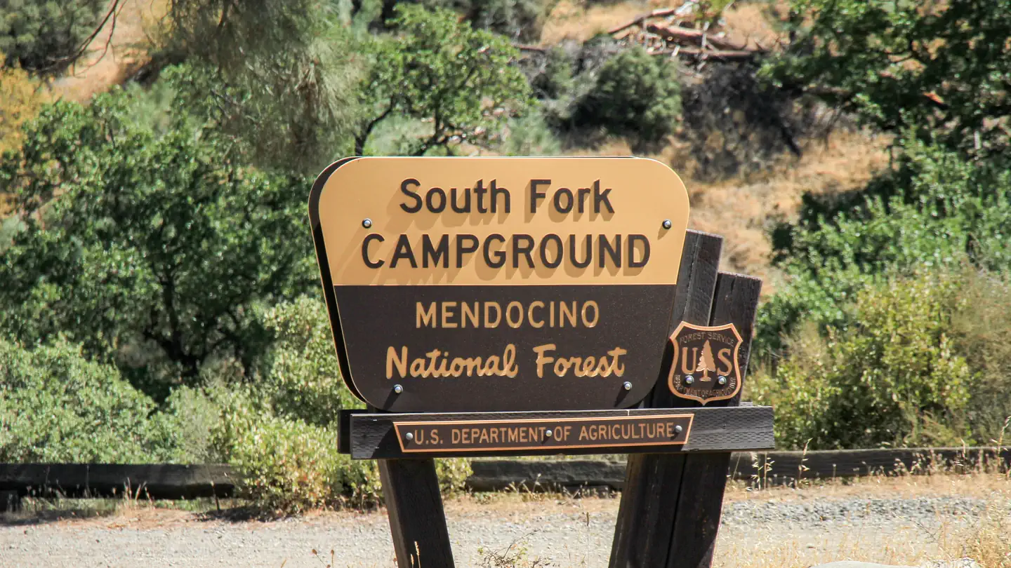
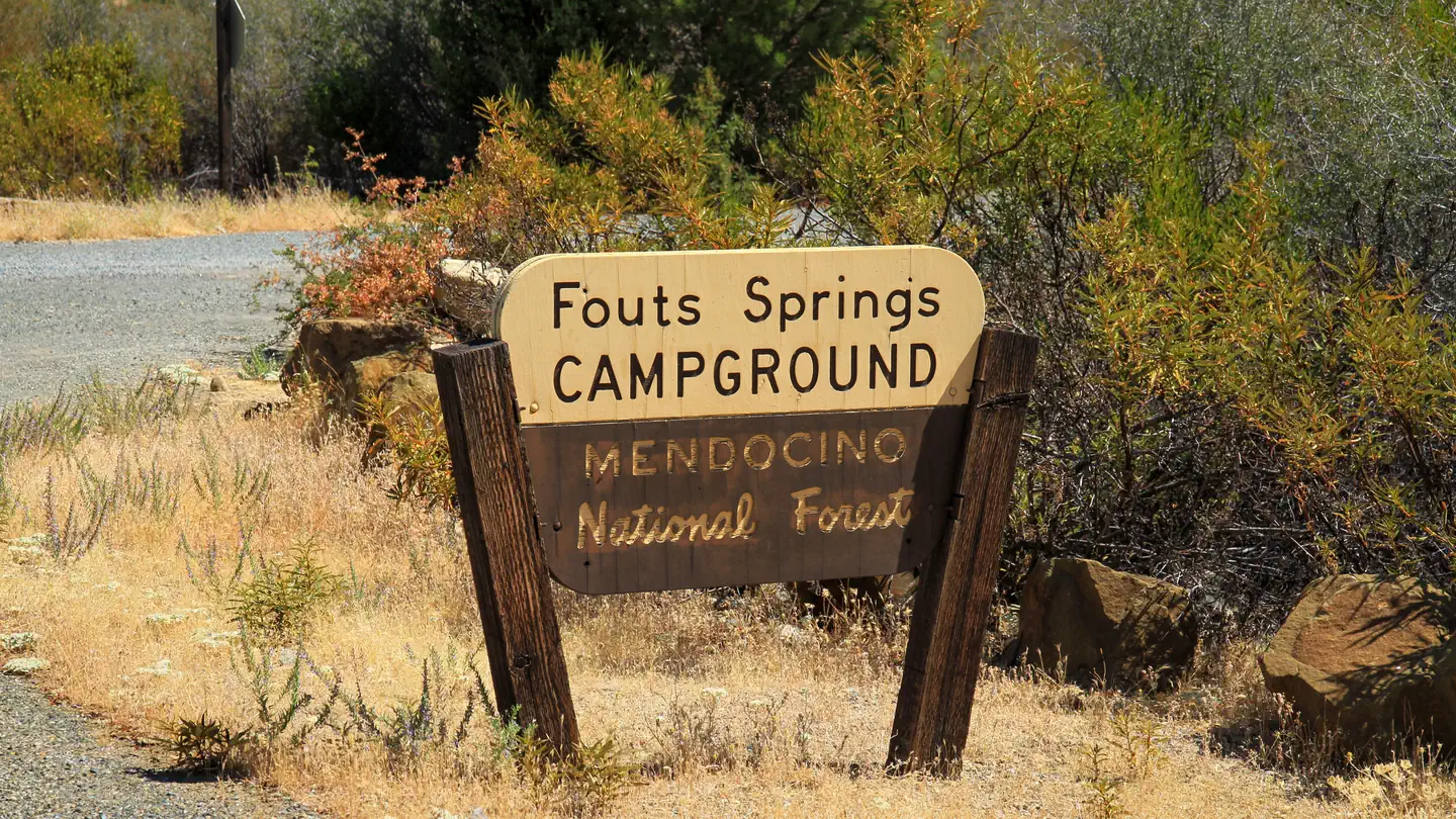
The nearest public campgrounds are South Fork Campground (0.1 mi, first-come), Fouts (0.2 mi, first-come), and Gray Pine Group Campground (0.4 mi).
Source: Campgrounds nearby