Boardman Group Camp
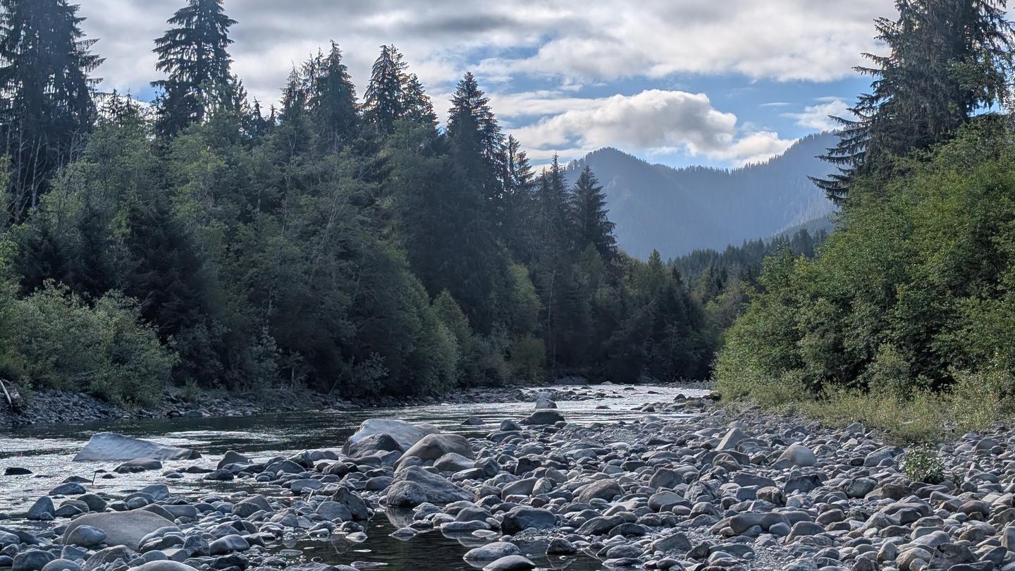
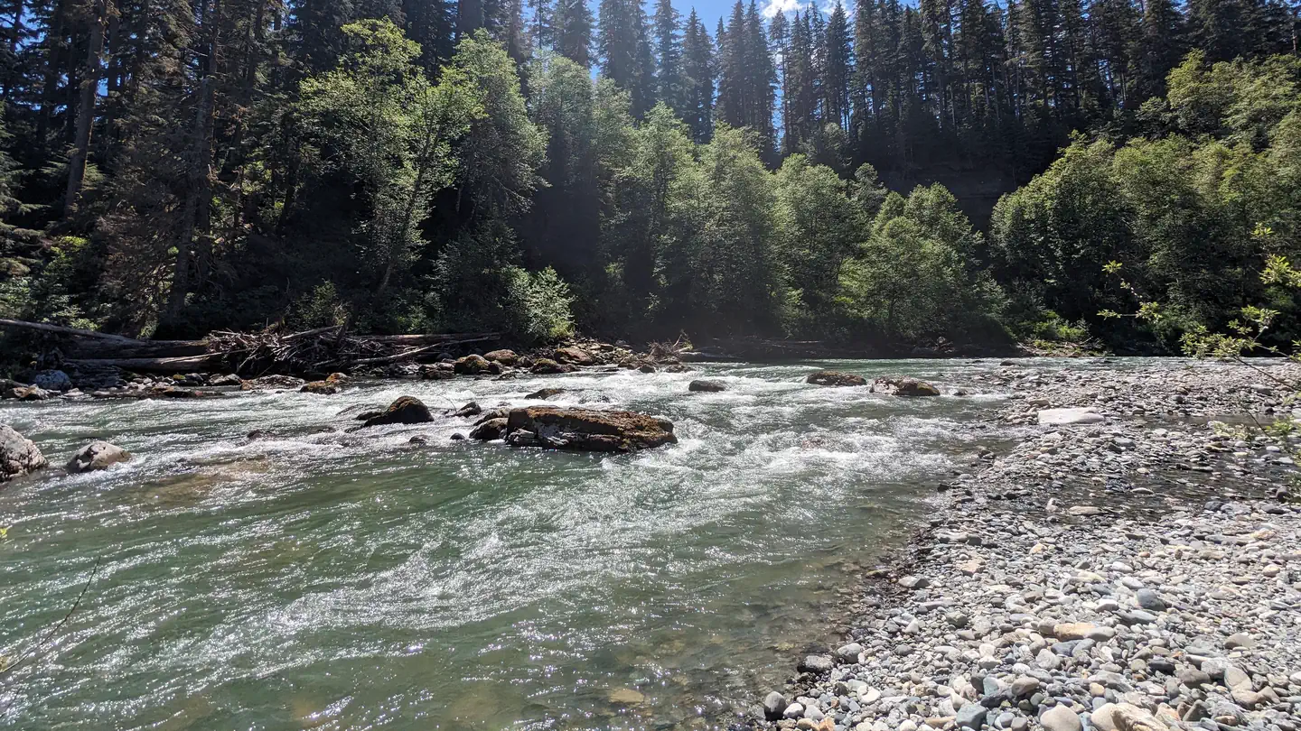
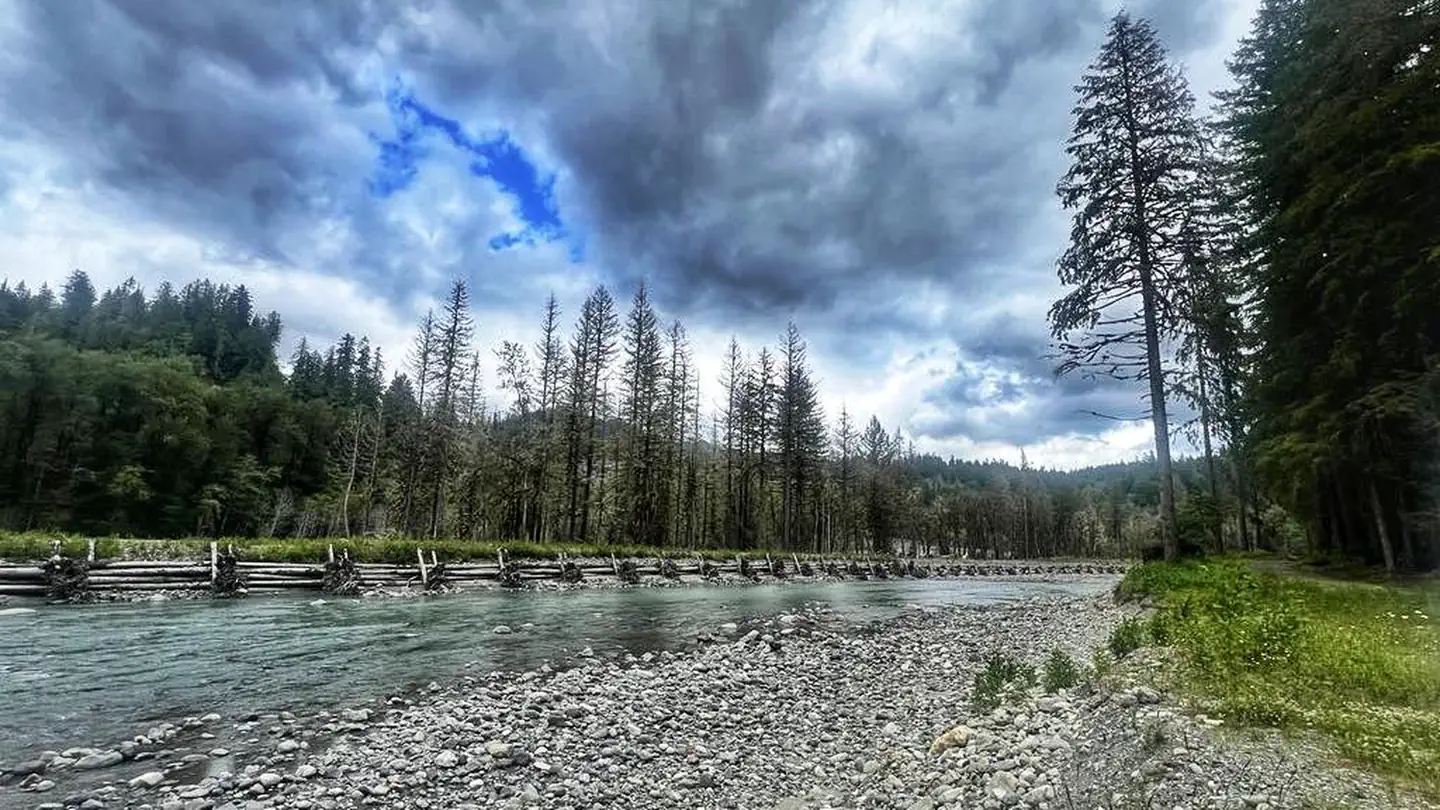
Boardman Group Campground is located about 8 miles east of the Verlot Public Service Center along scenic Mountain Loop Scenic Byway through Mt. Baker-Snoqualmie National Forest. The campground is located on the banks of the tranquil Stillaguamish River, in close proximity to several wilderness areas.
More like this: reservable in Washington · tent only in Washington · pets allowed in Washington · group sites in Washington
Check availability on Recreation.gov ↗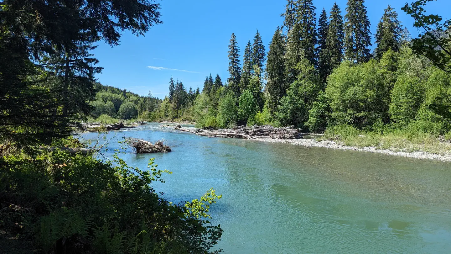
Site mix
| Group sites | 1 |
Site guide
1 site. Tap a filter to narrow the list; the map follows.
| Site | Entry | Surface | Shade | People / vehicles | Fires | Rating |
|---|---|---|---|---|---|---|
| 001 | Pull-through | Gravel | Partial | 35 / 8 | Yes | Standard |
Per-site records as published by the managing agency on Recreation.gov. Blank cells mean the agency listed nothing for that site. Check-in 2:00 PM, checkout 12:00 PM.
Amenities & rules
| Equipment | Tents |
| Pets | Allowed |
| Campfires | Allowed, subject to restrictions |
| Fees | View Recreation.gov for Fee Information and for open season dates. |
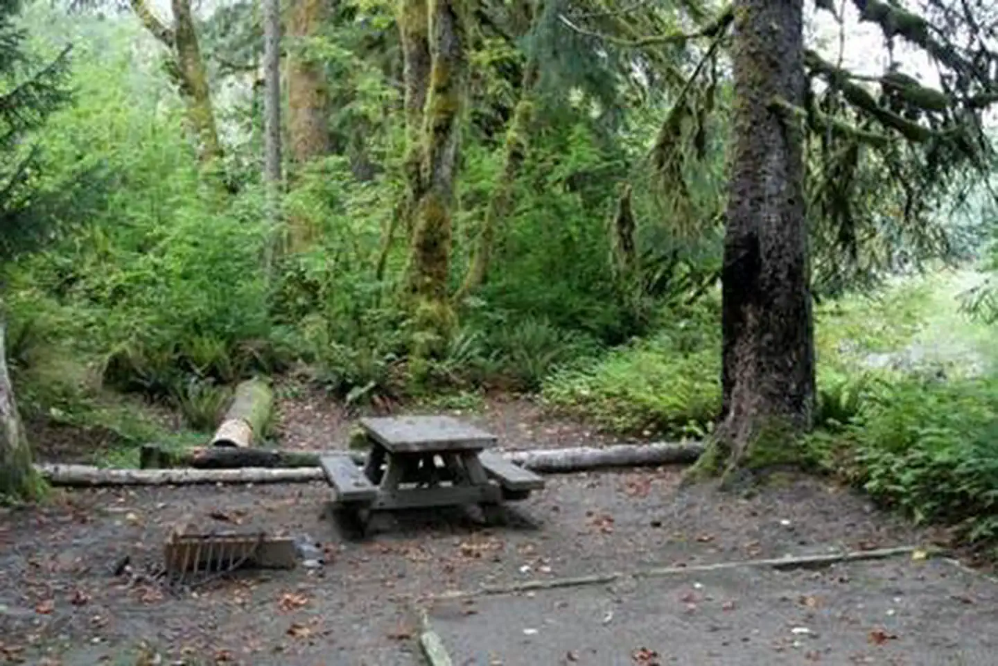
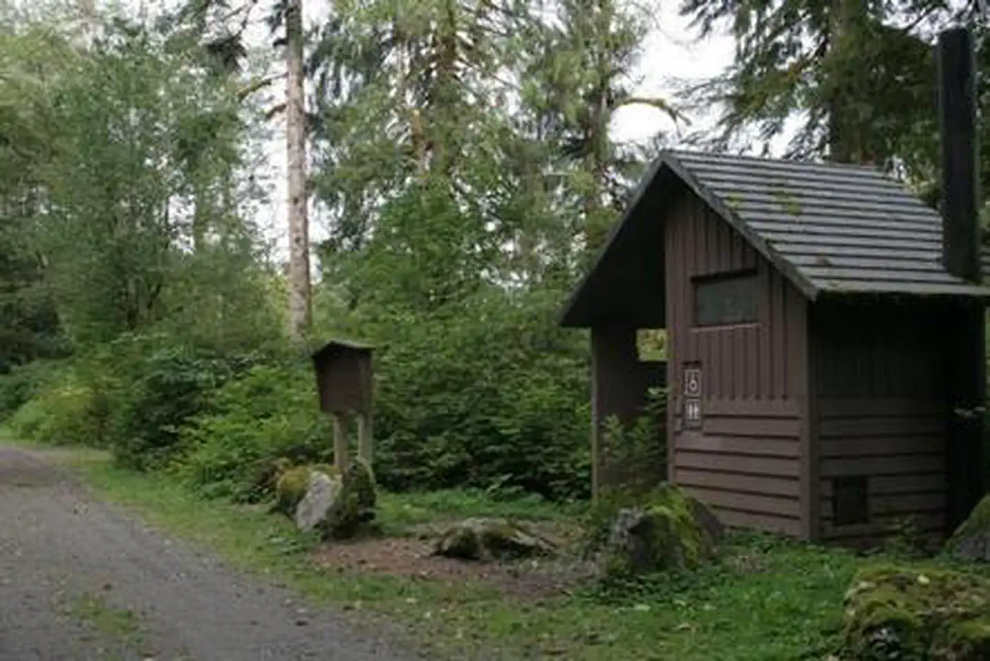
The campground offers just one site, making it a perfect setting for groups of up to 35 people. RVs are welcome. A small amount of traffic noise from the adjacent highway can be heard, but the river helps mask it. The site is equipped with tables and campfire rings with grills. Vault toilets are available, but there is no drinking water. Visitors must bring their own supply.
Individual sites vary. Confirm on Recreation.gov or with the managing office.
Season & status
| Status | Closed for the season. Forest Service sites close for the season; check the official page for the reopening date. |
| Forest | Mt. Baker-Snoqualmie National Forest |
| Fees | View Recreation.gov for Fee Information and for open season dates. |
Weather by month
Getting there
From Seattle, go north on I-5 to Everett. Take exit 194 onto Highway 2. At Highway 204, go north to Lake Stevens. Turn north on Highway 9. Turn east on Highway 92 to Granite Falls. The campground is approximately 16 miles east of Granite Falls on Highway 7 Scenic Byway.
| Coordinates | 48.0700° N, 121.6764° W · Directions ↗ |
Fire nearby
- WildfireLittle Giant
39 mi from the campground · 172,912 acres · 95% contained
- WildfireSisi
43 mi from the campground · 4,615 acres · 34% contained
- WildfireKing
46 mi from the campground · 3,427 acres · 36% contained
- WildfireThree Queens
49 mi from the campground · 9,575 acres · 33% contained
Distance is to the reported incident point, not the fire edge. Call the managing office before you drive.
Supplies & services
| Outdoor gear | Rerouted ↗ | 14.8 mi |
| Dump station | Dump station ↗ | 20 mi |
| RV sales & service | Open Road RV ↗ | 20.9 mi |
Locations © OpenStreetMap contributors. Call ahead; hours change seasonally.
Explore
Video
Lockdown Cycle | You and Me and Richard Makes Three | Boardman ADV 8.9, Liv Invite, Giant
Worth a stop
Traverse a portion of the spectacular Pacific Crest Trail (PCT), one of the world's premier National Scenic Trails. This trail showcases some of North America's most fantastic scenery as it winds its way from Mexico to Canada through California, Oregon and Washington.
- 3.2 miLake Twenty Two Trailhead ↗Trailhead
- 11.8 miWhite Chuck Boat Launch ↗Boat launch
- 12.2 miElliot Creek/Goat Lake Trailhead ↗Trailhead
Trails nearby
- 1.3 miSchweitzer ↗10.5 mi trail · snowshoe, ski
- 1.5 miYouth - on - Age0.3 mi trail · hiking
- 2.5 miBoardman Lake/ Boardman Camp1.1 mi trail · hiking
- 2.9 miGold Basin Mill Pond ↗0.3 mi trail · hiking
- 2.9 miPinnacle Lake3.3 mi trail · hiking
- 3.2 miMarten Creek3.3 mi trail · hiking
Trailheads within three miles
- 1.5 miYouth-On-Age Nature Trailhead ↗Mt. Baker-Snoqualmie National Forest
Trail and trailhead records are the Forest Service's. Distances are straight-line to the nearer trail end. Trail conditions are not tracked here.
Public land it sits in
This campground sits inside Mt. Baker-Snoqualmie National Forest.
- inMt. Baker-Snoqualmie National Forest ↗National Forest · Forest Service · 2,025,595 acres
- 2.1 miBoulder River Wilderness ↗Wilderness · Forest Service · 49,344 acres
- 2.7 miOkanogan-Wenatchee National Forest ↗National Forest · Forest Service · 3,858,129 acres
Each unit is published as a centre point and an acreage rather than a boundary, so this section stands it in for a circle of the same area. Whether a campground is inside, and how far it is from one it is outside, are both approximate.
Other campgrounds nearby
Cabin and lookout rentals nearby

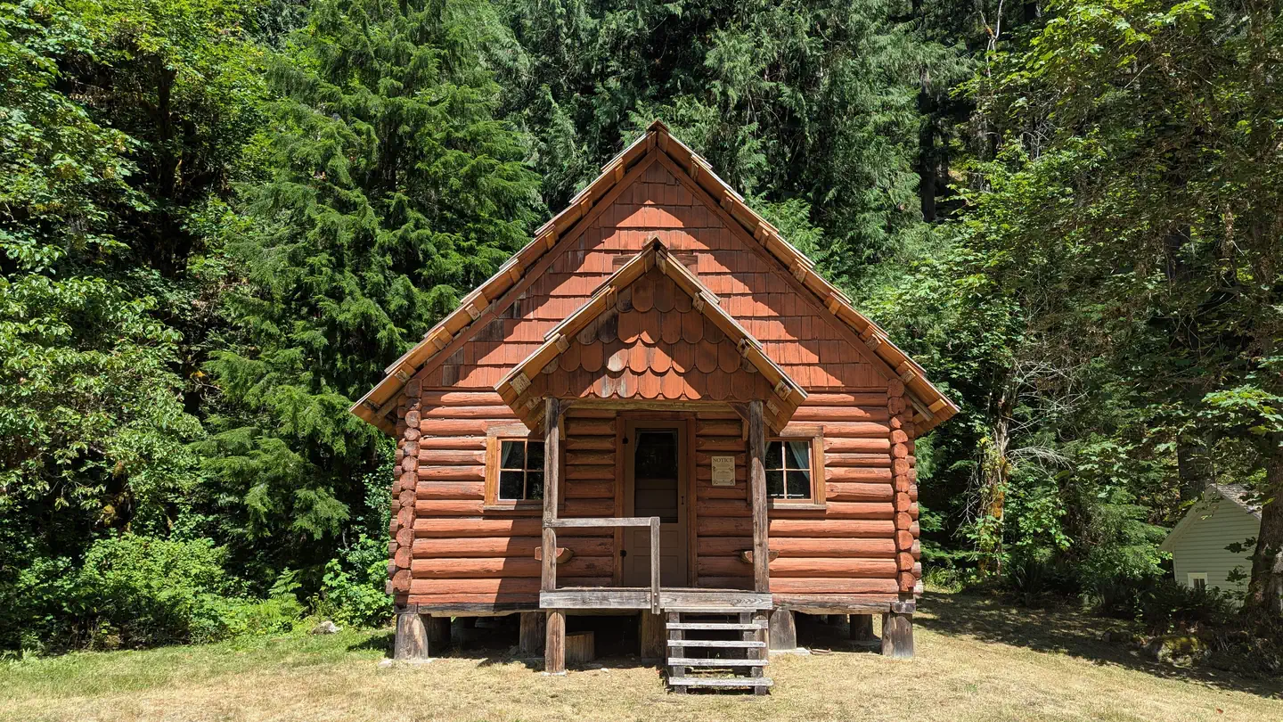
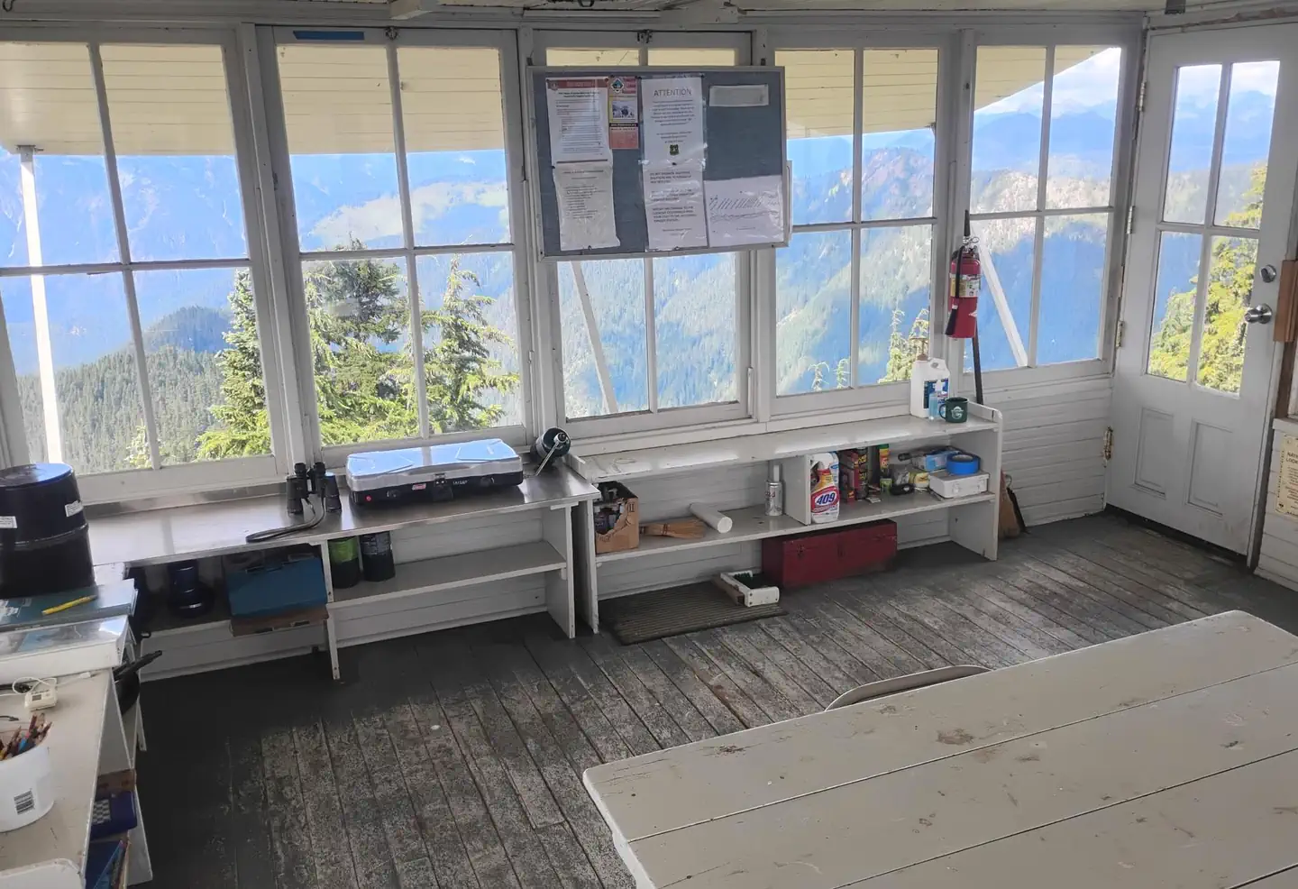
On the National Register nearby
- Verlot Ranger Station–Public Service CenterBuilding · Granite Falls · 5.1 mi
- Three Fingers LookoutStructure · Darrington · 6.9 mi
Natural features
The Mt. Baker-Snoqualmie National Forest offers visitors the chance to explore the region's rugged peaks, scenic rivers, and interesting wildlife within the forest and surrounding designated wilderness areas. Visitors will find unique ecosystems along the banks of the Stillaguamish River. Old-growth forests of cedar, fir and hemlock line the wide, gently-flowing river and tower over trails winding through moss-covered rocks. On a clear day visitors will see Mt. Baker, the most prominent feature of the Mt. Baker Wilderness Area. Rising to an elevation of 10,781 feet, the active volcano is perpetually snow-capped and mantled with an extensive network of creeping glaciers. Mt. Baker's summit, Grant Peak, is a 1,300-foot-deep mound of ice, which hides a massive volcanic crater. Undeveloped wilderness, clean streams and diverse forests provide important habitat for wildlife, including birds, amphibians, reptiles and more rare species such as lynx, moose, wolves, and wolverine. Grizzly bear sightings have been confirmed in the Cascade region, though black bears are more common.
Recreation
In addition to being a prime location for hiking, fishing, picnicking and horseback riding in summer and early fall, visitors can take advantage of skiing and snowshoeing in the winter months. Anglers enjoy fishing from the gently-flowing Stillaguamish River, which sustains populations chinook, coho, chum, pink and sockeye salmon, steelhead trout, sea-run cutthroat and bull trout.
Guidebooks for Washington
We earn a small commission if you buy through these links. It does not change what we list.
Titles come from Open Library's catalog, matched by subject heading or by title.
Reference
Questions people ask
Do I need a reservation at Boardman Group Camp?
Sites at Boardman Group Camp are reservable on Recreation.gov. Any walk-up sites are listed on the booking page.
Source: Recreation.gov
How much does it cost to camp at Boardman Group Camp?
View Recreation.gov for Fee Information and for open season dates.
Source: Recreation.gov
What time is check-in at Boardman Group Camp?
Check-in 2:00 PM, checkout 12:00 PM.
Source: Recreation.gov
Is Boardman Group Camp open right now?
Closed for the season as of Oct 16, 2026.
Source: Forest Service status
How many sites does Boardman Group Camp have?
1 site, including 1 group site.
Source: Recreation.gov
Can I bring an RV to Boardman Group Camp?
Boardman Group Camp is listed for tents only.
Source: Recreation.gov
Are pets allowed at Boardman Group Camp?
Yes, pets are allowed at Boardman Group Camp. Leash rules apply.
Source: Recreation.gov
Can I have a campfire at Boardman Group Camp?
Fires are allowed in the provided rings under normal conditions. As of 2026-10-16, there are 4 active fires within 50 miles, so check current restrictions before you light one.
Source: Fire nearby
What is there to do at Boardman Group Camp?
In addition to being a prime location for hiking, fishing, picnicking and horseback riding in summer and early fall, visitors can take advantage of skiing and snowshoeing in the winter months. The Recreation section on this page has the rest.
Source: Recreation
What if Boardman Group Camp is full?
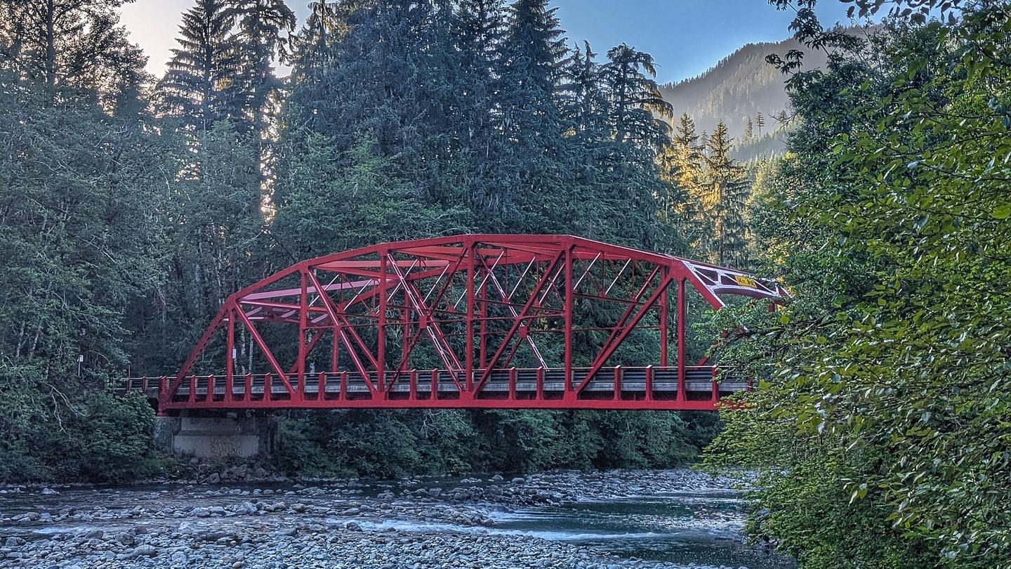
The nearest public campgrounds are Esswine Group Camp (1 mi), Red Bridge Campground (1.2 mi), and Wiley Creek Group Camp (1.8 mi).
Source: Campgrounds nearby