Simax Group Camp
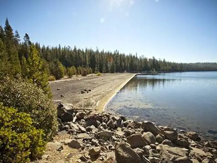
Simax Group Campground is located on the northeast end of Crescent Lake in Deschutes National Forest, offering visitors some of the most beautiful scenery in central Oregon and easy access to an abundance of recreational activities. Designed as a fully accessible campground, the four group sites and large picnic pavilion provide all visitors with ample opportunities to explore the area's diverse lush forest and spectacular surroundings.
More like this: electric hookups in Oregon · reservable in Oregon · big rigs in Oregon · pets allowed in Oregon · group sites in Oregon
Check availability on Recreation.gov ↗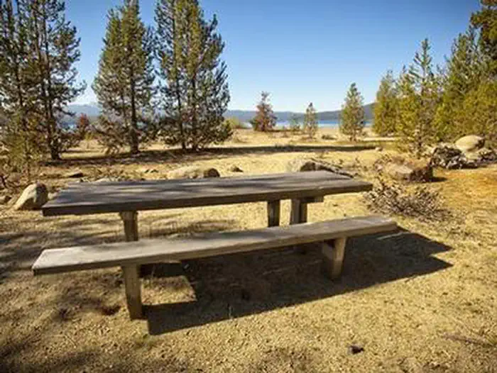
Site mix
| Group sites | 4 |
| group picnic area | 1 |
Site guide
Will my RV fit
The longest site here provides 40 feet of vehicle capacity. Most sites are shorter.
5 sites. Tap a filter to narrow the list; the map follows.
| Site | Type | Entry | Fits, ft | Surface | Shade | Power | Waterfront | People / vehicles | Fires | Accessible | Rating |
|---|---|---|---|---|---|---|---|---|---|---|---|
| PAV1 | Group Picnic Area | Paved | Partial | No | Lakefront | 50 / 3 | Yes | Yes | Standard | ||
| Group A | Group | Back-in | 25 | Paved | Partial | No | 40 / 8 | Yes | Yes | Standard | |
| Group B | Group | Back-in | 25 | Paved | Partial | No | Lakefront | 40 / 10 | Yes | Yes | Standard |
| Group C | Group | Back-in | 40 | Paved | Partial | No | 40 / 10 | Yes | Yes | Standard | |
| Group D | Group | Back-in | 25 | Paved | Partial | 50 amp | 20 / 8 | Yes | Standard |
Per-site records as published by the managing agency on Recreation.gov. Blank cells mean the agency listed nothing for that site. Check-in 8:00 AM, checkout 8:00 PM.
Amenities & rules
| Hookups | Electric |
| Max vehicle length | 40 ft |
| Equipment | RVs & trailers, Tents |
| Pets | Allowed |
| Campfires | Allowed, subject to restrictions |
| Accessibility | Sites PAV1, Group A, Group B, Group C are listed accessible |
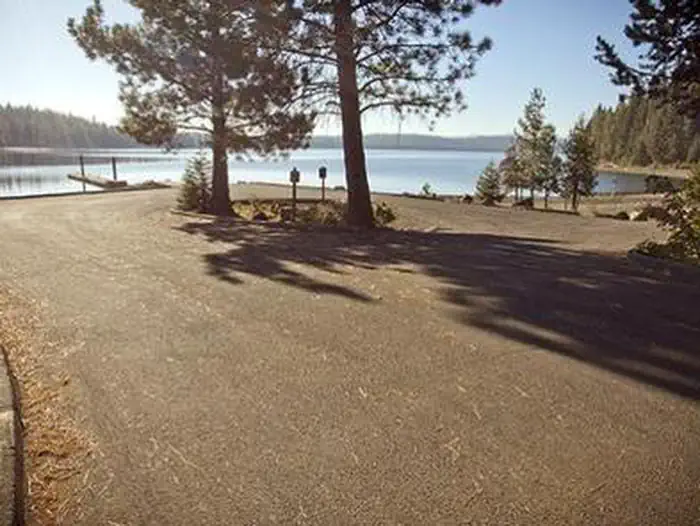
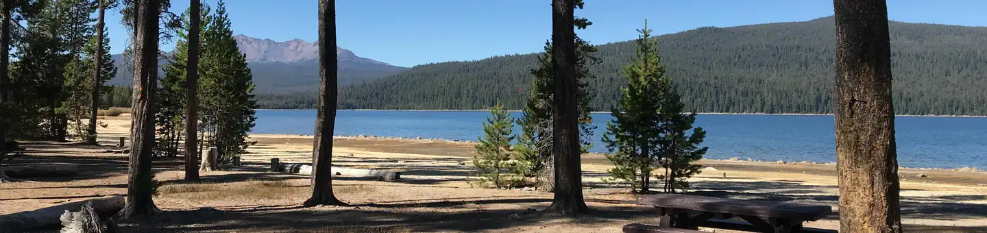
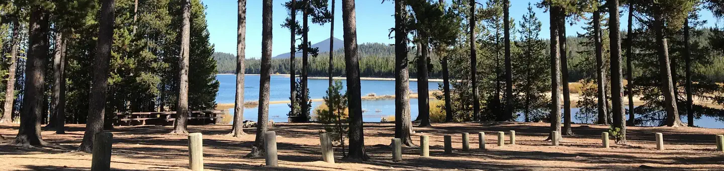
Four separate group sites offer visitors opportunities for both lakeside and forest camping. Picnic areas, sandy beaches and stunning views of the lake, along with the conveniences of drinking water and flush toilets, give visitors the opportunity to enjoy the outdoors while still having many of the conveniences of home. The roads and spurs throughout the campground are paved. This site was designed to be fully accessible for those with disabilities and is the first of its kind in the Northwest. A trail system designed for accessibility links the group site to the day-use areas and beaches.
Individual sites vary. Confirm on Recreation.gov or with the managing office.
Season & status
| Status | Closed for the season. Forest Service sites close for the season; check the official page for the reopening date. |
| Forest | Deschutes National Forest |
| Booking | Reservations can be made online through Recreation.gov or by calling toll free 1-877-444-6777 (International 606-515-6777 or TDD 877-833-6777). |
| Fees | Sites A, B, C (40 people/site) Campsite Rate: $164/night. Pavillion (50 People Maximum Occupancy): $64/day. One vehicle included with reservation – Each Additional Vehicle: $10.00. |
| Rules | Maximum site spur length is 40 feet. The water system will be turned on in the month of May depending on weather conditions and will be turned off no later than September 30, or upon the campground closing, whichever, is earlier to prevent potential damage from cold temperatures. |
Weather by month
Getting there
From Highway 58, turn south at Crescent Lake Junction on Forest Service Road 60. Travel 2.2 miles to the junction with Forest Service Road 6005. Continue a mile south, following signs.
| Nearest town | Crescent, Oregon |
| Coordinates | 43.4944° N, 121.9619° W · Directions ↗ |
Fire nearby
- PrescribedRx Cold Springs
21 mi from the campground · 158 acres
- PrescribedJunction Rx
40 mi from the campground
Distance is to the reported incident point, not the fire edge. Call the managing office before you drive.
Supplies & services
| Outdoor gear | REI ↗ | 50 mi |
| RV sales & service | Blue Compass RV Bend ↗ | 51.7 mi |
Locations © OpenStreetMap contributors. Call ahead; hours change seasonally.
Explore
Worth a stop
The trailhead to Fawn Lake starts at the northeast end Crescent Lake and is open to hikers and horseback riding. The trail, 4.7 miles one-way, begins in a forest of white fir, Douglas fir and mountain hemlock before making a transition into lodgepole pine, ending at the Crater Butte Trail near Fawn Lake. There are views of Redtop and Lakeview Mountains at Fawn Lake. Lava Lands Visitor Center in Bend, Oregon, offers visitors the opportunity to learn about the diverse landscape and history of the area through interpretive programs and exhibits. Visitors will also enjoy traveling the Cascade Lakes Scenic Byway, known as Oregon's Highway in the Sky, which climbs into the clouds on a 66-mile drive through the Cascade Mountain range, weaving through snow-capped peaks and alpine lakes. A nearby resort on Crescent Lake offers lodging and a general store. Supplies and equipment rentals are available to visitors.
- 0.6 miSimax Beach Picnic Area ↗Day use
- 0.9 miCrescent Lake Boat Launch ↗Boat launch
- 4 miTandy Bay Picnic Area ↗Day use
- 7.4 miTrapper Creek Boat Launch ↗Boat launch
- 9.7 miMarilyn Lakes Trailhead ↗Trailhead
- 10.6 mi
Trails nearby
- 0.3 miSimax1 mi trail · hiking, horse, bike
- 0.9 miFawn Lake3.7 mi trail · hiking, horse
- 1 miCrescent Lake Loop East ↗5.3 mi trail · snowmobile, snowshoe, ski
- 1 miCrescent Lake Loop West ↗9 mi trail · snowmobile, snowshoe, ski
- 1 miSno-Park Connection3.3 mi trail · snowmobile, snowshoe, ski
- 1.7 miPretty Lake3.3 mi trail · hiking, horse
Trailheads within three miles
- 1.1 miCrescent Lake Sno-Park ↗Deschutes National Forest
- 2.4 miJunction Sno-Park ↗Deschutes National Forest
Trail and trailhead records are the Forest Service's. Distances are straight-line to the nearer trail end. Trail conditions are not tracked here.
Public land it sits in
Deschutes National Forest begins about 1.3 miles away, and it is the closest of these.
- 1.3 miDeschutes National Forest ↗National Forest · Forest Service · 1,870,116 acres
- 2 miDiamond Peak Wilderness ↗Wilderness · Forest Service · 52,496 acres
- 14.2 miWillamette National Forest ↗National Forest · Forest Service · 1,801,292 acres
Each unit is published as a centre point and an acreage rather than a boundary, so this section stands it in for a circle of the same area. Whether a campground is inside, and how far it is from one it is outside, are both approximate.
Other campgrounds nearby
Cabin and lookout rentals nearby
Natural features
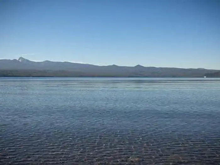
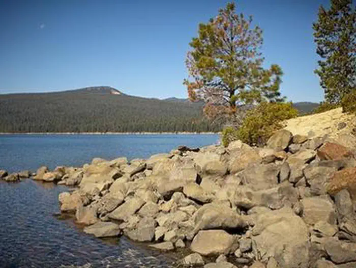
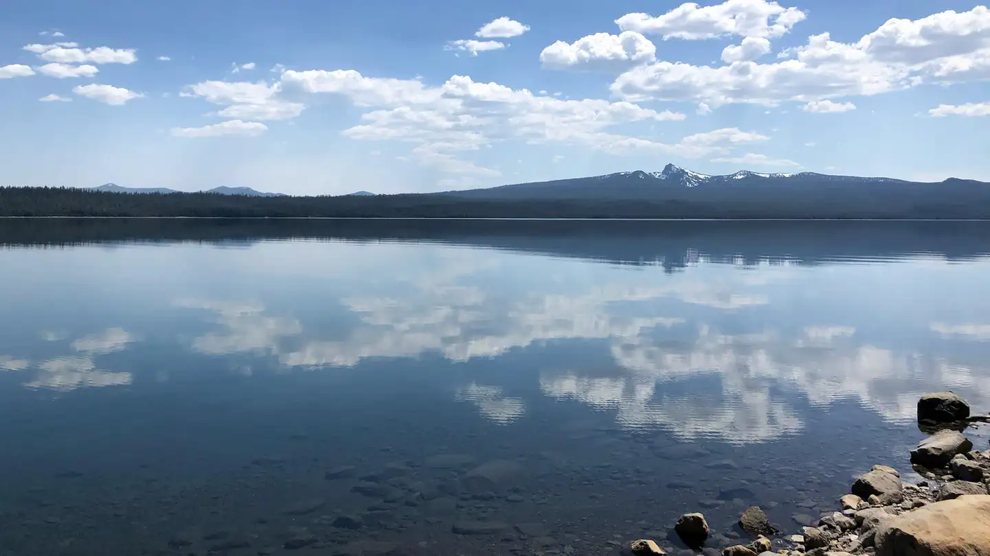
Crescent Lake, nestled in a naturally glaciated basin behind a moraine dam, lies east of the towering Cascade Mountain Range. Its brilliant blue-green water, sandy beaches and water temperature are exceptional for a high-elevation lake. Towering lodgepole pine trees provide the backdrop for this area, with mountain hemlock, fir, and spruce also in the mix. Volcanic activity throughout the surrounding area of Deschutes National Forest is evident in its landscape, showcasing cinder cones, calderas and lava flows.
Recreation
At Simax Group Campground, water skiing, sailing, windsurfing, sunning, hiking, mountain biking, horseback riding, off-roading and fishing are popular with visitors. Hiking on one or more of the trails in the area offers a wide variety of scenic terrain, ranging from lakeside trails to routes weaving through towering pine, fir, and spruce trees, typical for the area. For anglers, Crescent Lake provides the perfect setting to fish from boat or the shoreline. Fish species found in the lake include kokanee salmon, mackinaw, rainbow trout, brown trout and mountain whitefish. Summer months offer the best fishing.
Guidebooks for Oregon
We earn a small commission if you buy through these links. It does not change what we list.

Titles come from Open Library's catalog, matched by subject heading or by title.
Reference
Questions people ask
Do I need a reservation at Simax Group Camp?
Sites at Simax Group Camp are reservable on Recreation.gov. Reservations can be made online through Recreation.gov or by calling toll free 1-877-444-6777 (International 606-515-6777 or TDD 877-833-6777). Any walk-up sites are listed on the booking page.
Source: Recreation.gov
How much does it cost to camp at Simax Group Camp?
Sites A, B, C (40 people/site) Campsite Rate: $164/night. Pavillion (50 People Maximum Occupancy): $64/day. One vehicle included with reservation – Each Additional Vehicle: $10.00.
Source: Recreation.gov
What time is check-in at Simax Group Camp?
Check-in 8:00 AM, checkout 8:00 PM.
Source: Recreation.gov
Is Simax Group Camp open right now?
Closed for the season as of Oct 16, 2026.
Source: Forest Service status
How many sites does Simax Group Camp have?
5 sites, including 4 group sites and 1 group picnic area.
Source: Recreation.gov
Will my RV fit at Simax Group Camp?
The longest site here provides 40 feet of vehicle capacity. Most sites are shorter. The sidebar tool checks a trailer or motorhome length against every site.
Source: Will my RV fit
Does Simax Group Camp have hookups?
Yes, electric hookups at some sites.
Source: Recreation.gov
Are there showers or a dump station at Simax Group Camp?
Picnic areas, sandy beaches and stunning views of the lake, along with the conveniences of drinking water and flush toilets, give visitors the opportunity to enjoy the outdoors while still having many of the conveniences of home.
Source: Recreation.gov
Are pets allowed at Simax Group Camp?
Yes, pets are allowed at Simax Group Camp. Leash rules apply.
Source: Recreation.gov
Can I have a campfire at Simax Group Camp?
Fires are allowed in the provided rings under normal conditions. As of 2026-10-16, there are 2 active fires within 50 miles, so check current restrictions before you light one. Maximum site spur length is 40 feet.
Source: Fire nearby
Are there accessible sites at Simax Group Camp?
Sites PAV1, Group A, Group B, and Group C are listed accessible on Recreation.gov. What that covers (a paved pad, an accessible table, a nearby accessible restroom) is on each site's booking page.
Source: Recreation.gov
Is there cell service at Simax Group Camp?
FCC coverage maps show Verizon 4G LTE and AT&T 4G LTE at the campground point. Terrain changes that from one site to the next.
Source: FCC Broadband Map