Halfway Group Campground
Halfway Group Campground is situated along the Kern River, 4.5 miles north of the town of Kernville. Hiking, fishing, kayaking and rafting are popular activities.
More like this: reservable in California · pets allowed in California · group sites in California
Check availability on Recreation.gov ↗
active
Site mix
| Group tent areas | 3 |
| group standard area nonelectric | 2 |
Site guide
5 sites. Tap a filter to narrow the list; the map follows.
| Site | Type | Entry | Fits, ft | Shade | Water / sewer | People / vehicles | Fires | Rating |
|---|---|---|---|---|---|---|---|---|
| Group 1 | Group tent | Back-in | 20 | Partial | No / No | 12 / 2 | Yes | Standard |
| Group 2 | Group tent | Back-in | 20 | Partial | No / No | 24 / 5 | Yes | Standard |
| Group 3 | Group | Back-in | 20 | Partial | No / No | 24 / 5 | Yes | Standard |
| Group 4 | Group tent | Back-in | 20 | Partial | No / No | 50 / 10 | Yes | Standard |
| Group 5 | Group | Back-in | 20 | Partial | No / No | 50 / 10 | Yes | Standard |
Per-site records as published by the managing agency on Recreation.gov. Blank cells mean the agency listed nothing for that site. Check-in 2:00 PM, checkout 12:00 PM.
Amenities & rules
| Max vehicle length | 20 ft |
| Pets | Allowed |
| Campfires | Allowed, subject to restrictions |
The campground offers five group sites available for tent camping. Picnic tables and campfire rings are provided, as are portable toilets. There is no drinking water available at this facility.
Individual sites vary. Confirm on Recreation.gov or with the managing office.
Weather by month
Getting there
From Bakersfield, take Highway 178 east to Lake Isabella. From Lake Isabella, take Highway 155 around the west side of the lake to the town of Kernville. From Kernville, go 4.5 miles north on Sierra Way (Mountain 99) to the campground.
| Nearest town | Kernville, California |
| Coordinates | 35.8029° N, 118.4519° W · Directions ↗ |
Fire nearby
- WildfireCyrus
7 mi from the campground · 543 acres · 95% contained
Distance is to the reported incident point, not the fire edge. Call the managing office before you drive.
Supplies & services
| Dump station | Dump station ↗ | 10.6 mi |
| Outdoor gear | Triple Crown Outfitters ↗ | 23.5 mi |
| RV sales & service | Lindustries RV Service ↗ | 44 mi |
Locations © OpenStreetMap contributors. Call ahead; hours change seasonally.
Explore
Worth a stop
The Cannell Meadow National Recreation Trail begins just north of Kernville. The trail stretches 11.5 miles as it climbs through mixed pine and fir forest to Cannell Meadow and a historic Forest Service cabin built between 1904 and 1909. Hikers are awarded beautiful views of the Kern River Valley along the trip.
- 1.4 mi
- 3.7 miCorral Creek Picnic Site ↗Day use
- 7 miCyrus Canyon Ohv Park ↗OHV / range
- 7.2 miCyrus Canyon Shooting Range ↗OHV / range
- 7.5 miTillie Creek Launch Ramp Boating Site ↗Boat launch
- 9.1 miStine Cove Fishing Site ↗Fishing site
Trails nearby
- 1.9 miWhiskey Flat ↗12.4 mi trail · hiking, horse
- 2.4 miCannell Meadow ↗23.7 mi trail · hiking, horse, bike, motorcycle and 1 more · national_recreation_or_other
- 3.4 miPotato Patch ↗11.5 mi trail · hiking, horse, bike, motorcycle and 1 more
- 4.4 miSplit Mountain1.5 mi trail · hiking, horse, bike
- 4.4 miBaker Point1.2 mi trail · hiking, horse, bike
Trail and trailhead records are the Forest Service's. Distances are straight-line to the nearer trail end. Trail conditions are not tracked here.
Public land it sits in
This campground sits inside Sequoia National Forest.
- inSequoia National Forest ↗National Forest · Forest Service · 1,160,053 acres
- 7.2 miDomeland Wilderness ↗Wilderness · BLM/FS · 133,720 acres
Each unit is published as a centre point and an acreage rather than a boundary, so this section stands it in for a circle of the same area. Whether a campground is inside, and how far it is from one it is outside, are both approximate.
Other campgrounds nearby

Cabin and lookout rentals nearby

Natural features
The campground sits within Sequoia National Forest at an elevation of 3,200 feet in an open area with limited shade, overlooking the Kern Wild and Scenic River. Gray pine, scrub oak, grasses and shrubs cling to steep, canyon walls along the river, and cottonwoods and willows dot the riverbanks. Sequoia National Forest, located at the southern end of the Sierra Nevada in central California, is named for the giant sequoia, the world's largest tree, which grows in more than 30 groves on the forest's lower slopes. The forest comprises about 1.1 million acres. Elevations range from about 1,000 to 12,000 feet, creating precipitous canyons and mountain streams with spectacular waterfalls such as Salmon Creek Falls and Grizzly Falls.
Recreation
Hiking, fishing, kayaking and rafting are popular activities in the Upper Kern River area.
Guidebooks for Sequoia National Forest and California
We earn a small commission if you buy through these links. It does not change what we list.

Titles come from Open Library's catalog, matched by subject heading or by title.
Reference
Questions people ask
Do I need a reservation at Halfway Group Campground?
Sites at Halfway Group Campground are reservable on Recreation.gov. Any walk-up sites are listed on the booking page.
Source: Recreation.gov
What time is check-in at Halfway Group Campground?
Check-in 2:00 PM, checkout 12:00 PM.
Source: Recreation.gov
How many sites does Halfway Group Campground have?
5 sites, including 3 group tent areas and 2 group standard area nonelectric.
Source: Recreation.gov
Will my RV fit at Halfway Group Campground?
The longest site here provides 20 feet of vehicle capacity. Most sites are shorter. The sidebar tool checks a trailer or motorhome length against every site.
Source: Will my RV fit
Are pets allowed at Halfway Group Campground?
Yes, pets are allowed at Halfway Group Campground. Leash rules apply.
Source: Recreation.gov
Can I have a campfire at Halfway Group Campground?
Fires are allowed in the provided rings under normal conditions. As of 2026-10-16, there is 1 active fire within 50 miles, so check current restrictions before you light one.
Source: Fire nearby
What is the nearest town to Halfway Group Campground?
Kernville, California. The Cannell Meadow National Recreation Trail begins just north of Kernville.
Source: Getting there
What if Halfway Group Campground is full?
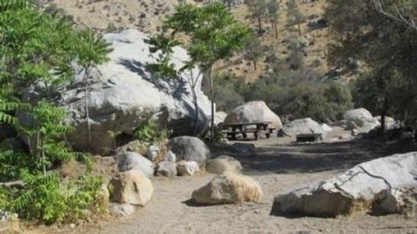
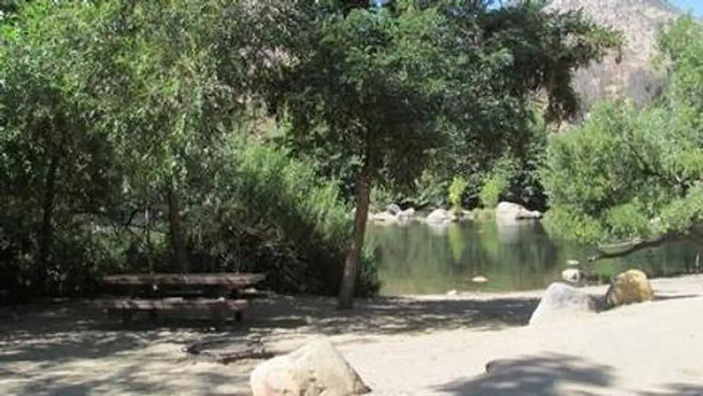
The nearest public campgrounds are Camp Three Campground (0.5 mi), Headquarters (0.5 mi), and Thunderbird Group Campground (0.9 mi).
Source: Campgrounds nearby